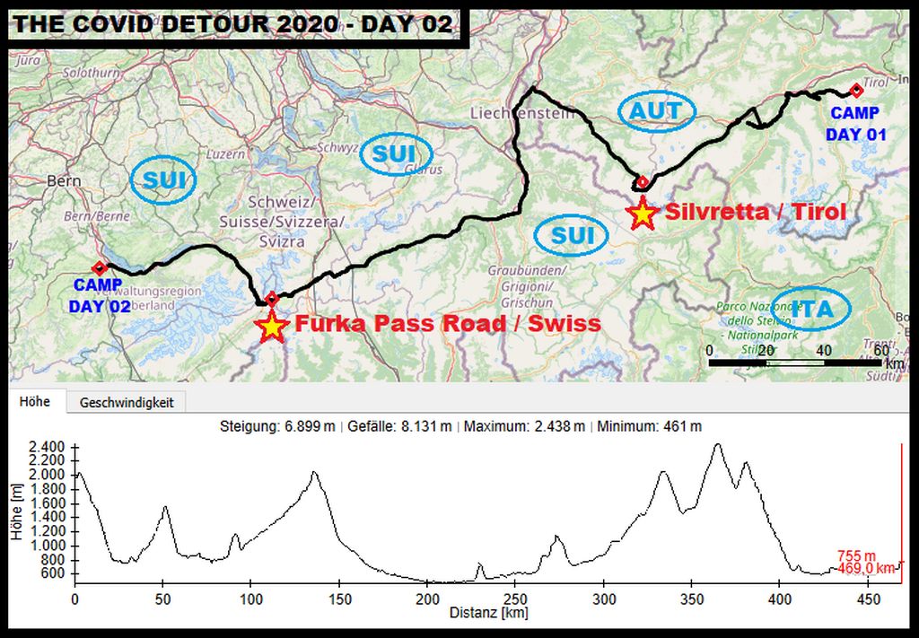
“SILVRETTA AND SWITZERLAND”
When I got up in the morning of day number two, I checked the weather forecast and I found out, that I had to finish crossing the alps at least in the next three days. Reason for that: Cold temperatures and first big snow masses in high alpine areas have been announced.
Now I was a bit in a hurry, because the remaining distance along my route to the southern edge of the alps was surely somewhere about 1300 km or 800 mi. Avoiding getting stuck on some of the highest roads within the Alps due to the onset of winter had now grown to my primary priority!
Around 05:30 in the morning …
I woke up due to the first traffic noises of cars following the Kühtai-Road. I went out for a pee and decided to rest another thirty minutes. Back in the sleeping bag I checked the weather forecast. Surprisingly, a snow warning for the whole alpine area was announced. At least in three days the whole central area of the European Alps will get a serious load of snow. Damn, that meant for us that, …
Чернотa and I had to push on. Without any additional troubles the 1300 km or 800 mi along the highest roads of the European Alps, down southwards to the coast of the Mediterranean Sea, should be doable within this time. Still a tight plan, but doable. So I put my gear on, disassembled the shelter …
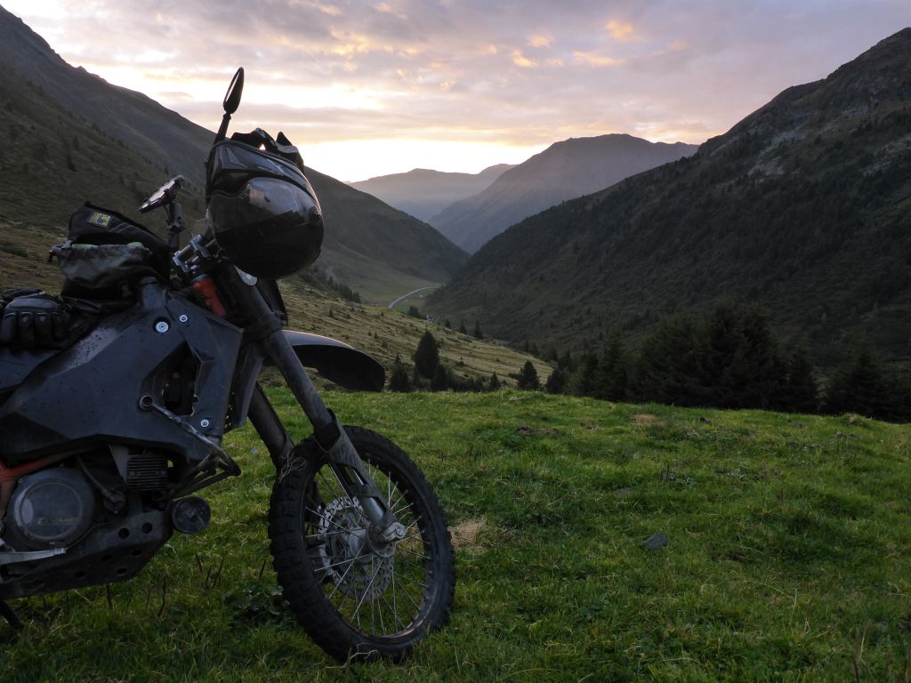
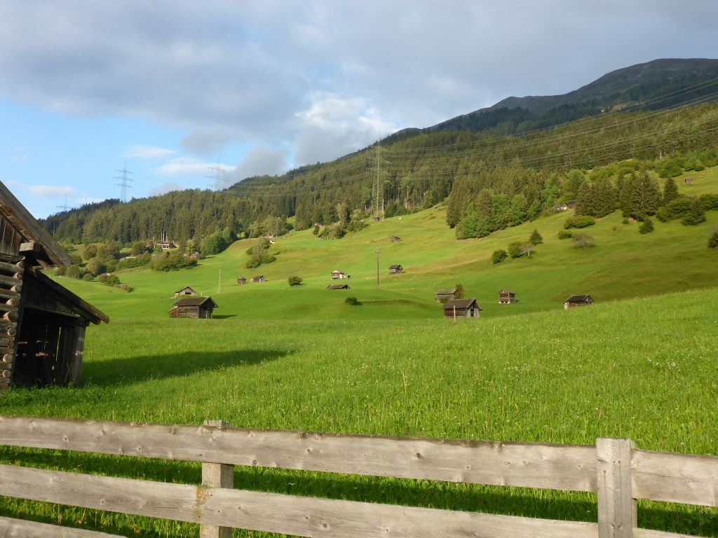
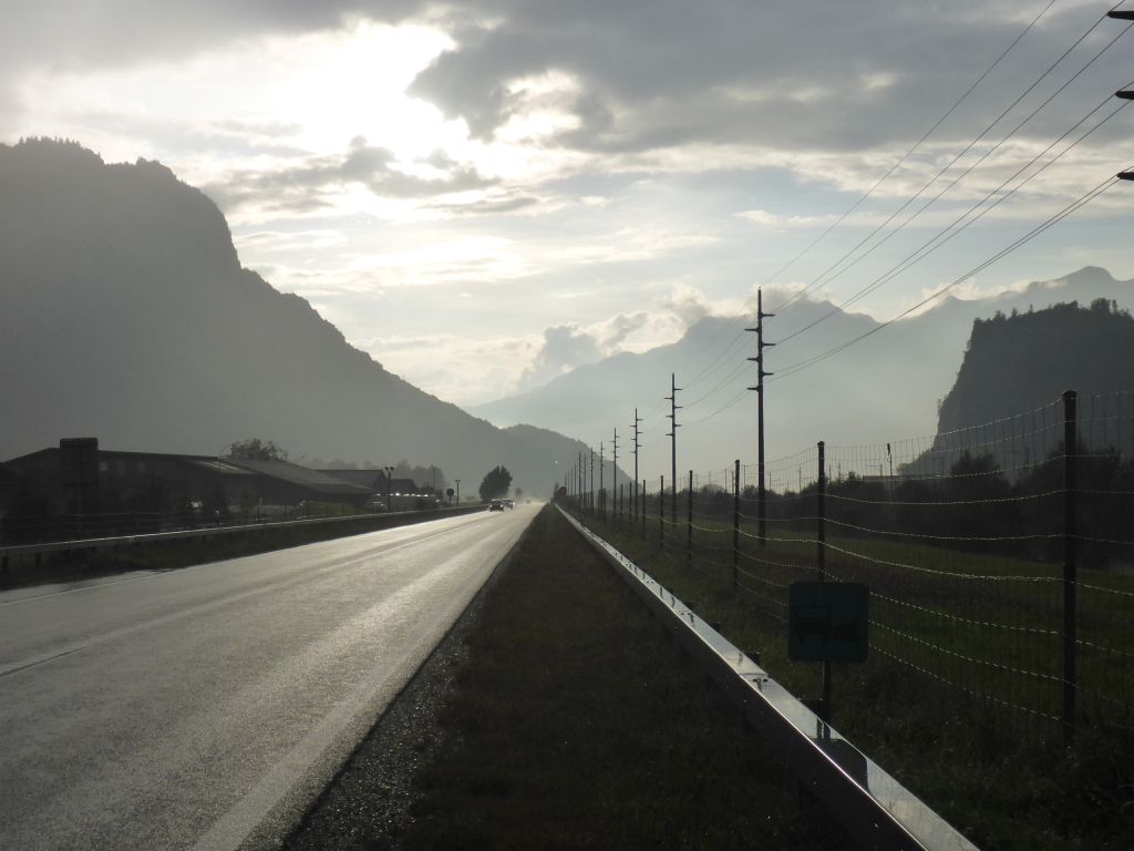
and saddled the pony. This riding day started with an impressive glowing Horizon over Kühtai Valley. Чернотa and I left …
our camping spot aside a gravel street and went ….
down to the bottom of the valley Kühtai. Back on tarmac we passed …
a mostly emptied huge water reservoir and followed our planned route…
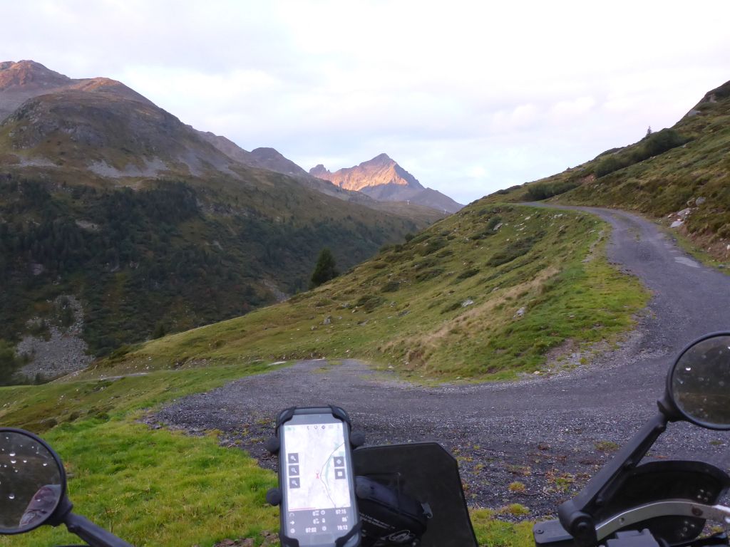
along the west ramp of Kühtai into the direction of Inntal (River Inn’s Valley). Our way was spiked …
with some nice …
scenic views. A good thing whilst traveling through the alps is, …
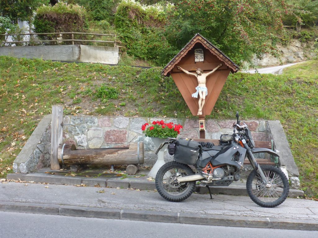
that you can find effortless nearly everywhere some water springs for fueling up your bottles. All what you need to do is having an eye onto the edge of the roads. In the early morning …
sun came out …
and provided some very nice …
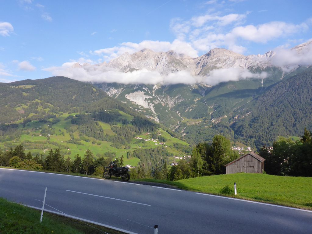
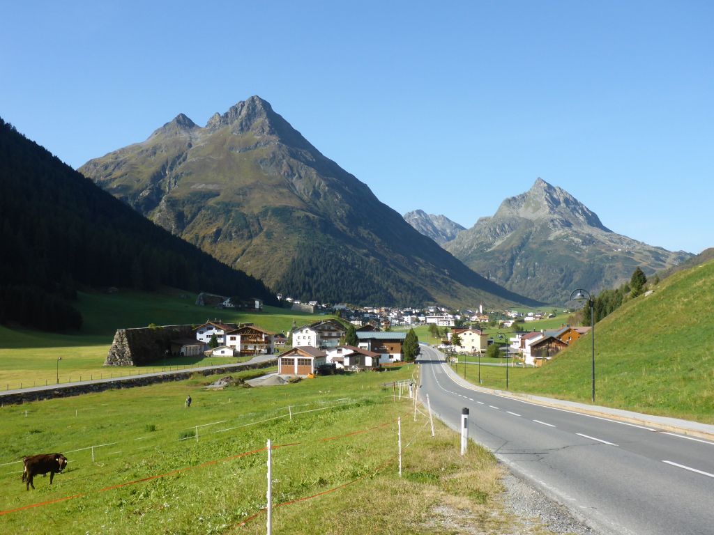
panorama along our route. The view was so great, that also …
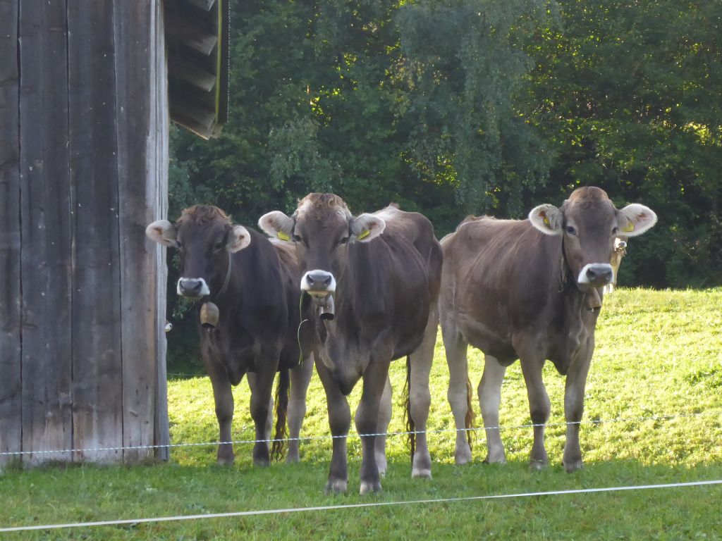
this cows looked a proper charlie. *mohhh*
My black beauty isn’t a fan of cows, so we rode on …
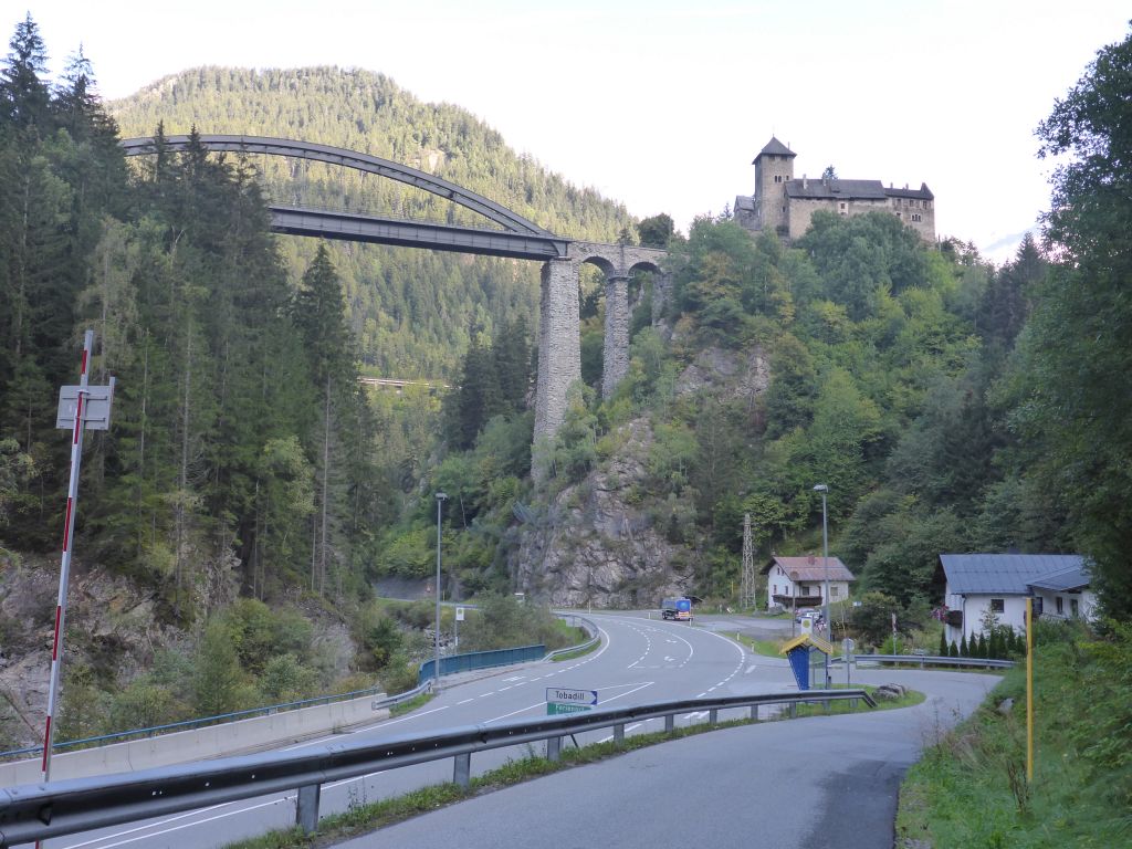
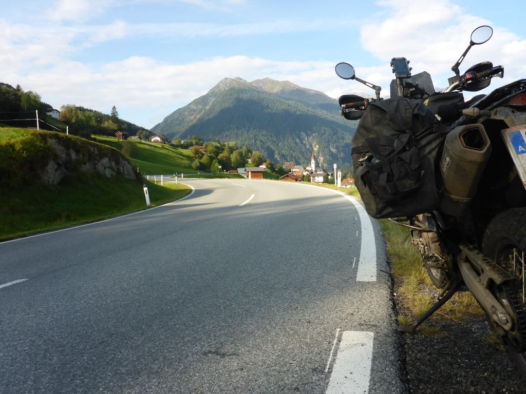
to the impressive Castle Wiesberg with the Trisanna Bridge in front. At the junction we went left towards Silvretta Pass Road. On our way we passed another …
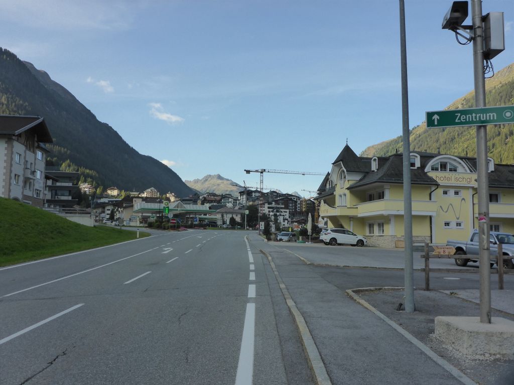
“Hotspot” – the village Ischgl. In former times Ischgl was a well known high society skiing village in Tirol.
Nowadays its the personalized “evil” within the Austrian federal State “Virol®”; due to being one of the main centers of the Covid-19-Outbreak in Europe.
Amen!
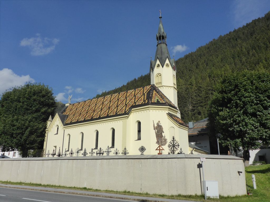
Whilst planning this route I haven’t had the village Galtür in mind. I was quite surprised when I recognized it along my ride on this morning. Galtür gained notoriety in winters night in 1999, when a massive dust avalanche hit the village with 290 km/h or 180 mph. 31 people died. More info: The Galtür Avalanche
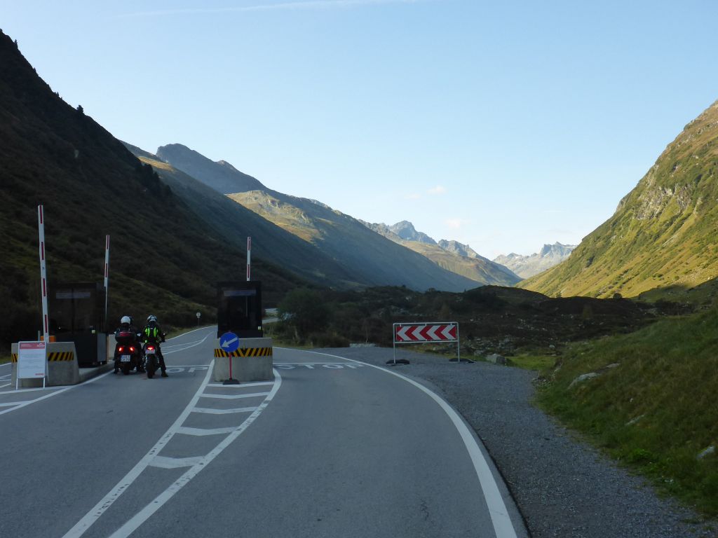
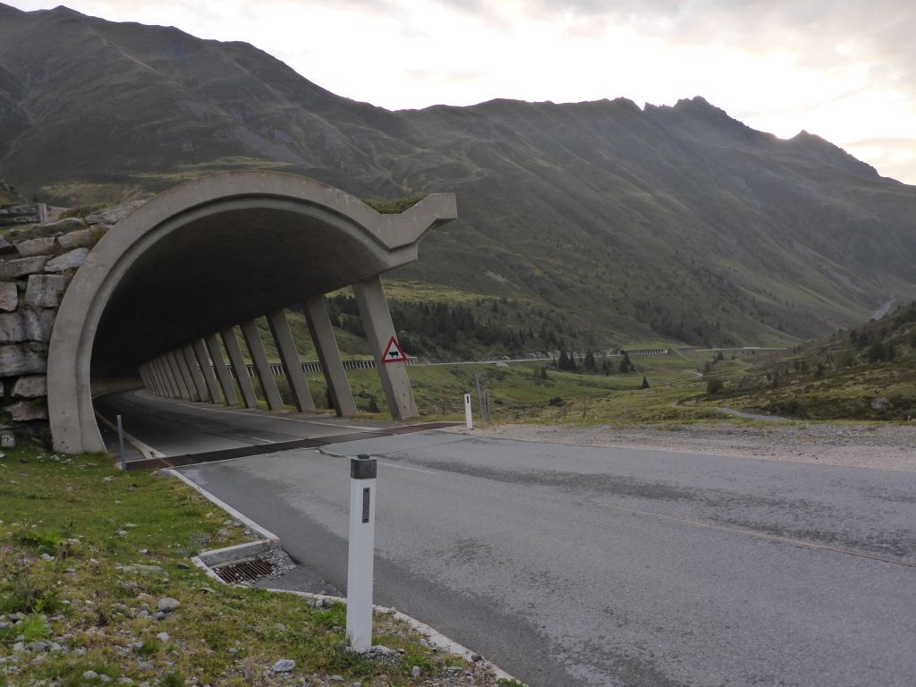
Just a few kilometers further on lies the toll station/entrance point to the Silvretta-Hochalpenstraße, which is connecting the Austrian federal states Tirol and Vorarlberg. Along the eastern side of the pass height, …
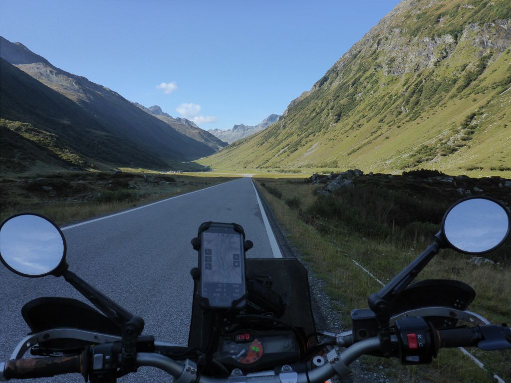
the slope is very small and the perfect prepared tarmac invites for speeding. But I didn’t. Instead, I stopped at …
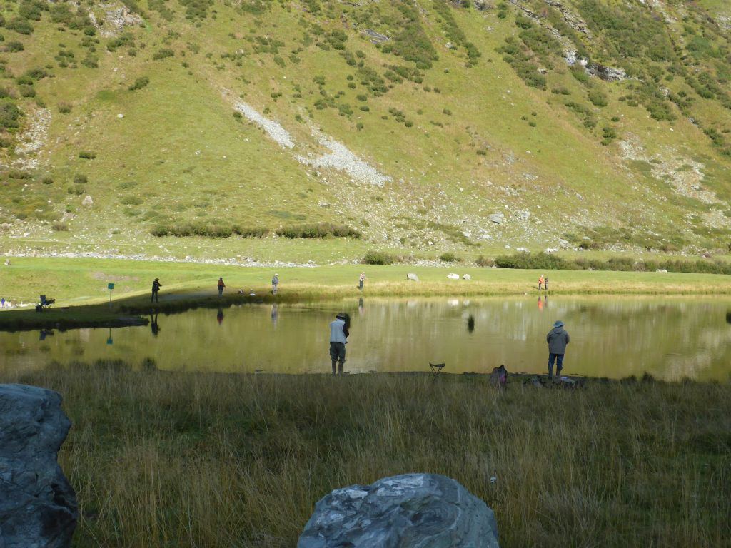
this small lake, where some pensioners practiced fly-fishing. The whole time which it took me to eat two cereal bars, none of em caught a fish.
Utterly bored my black beauty and I left this tragedy and went on …
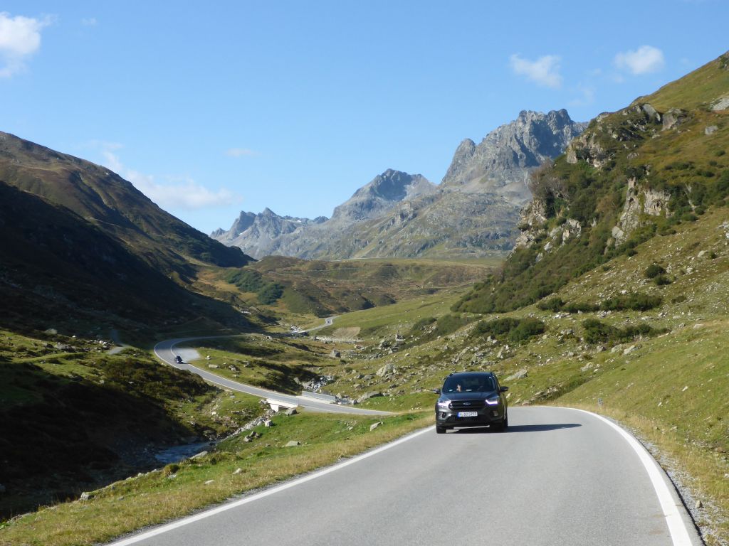
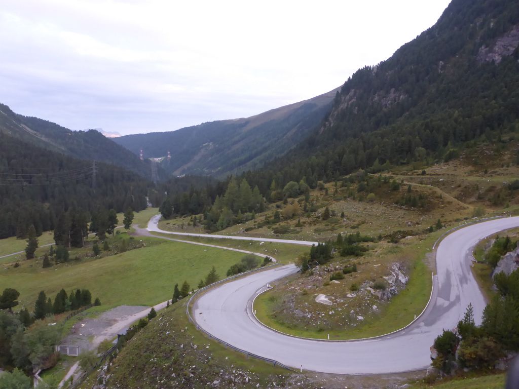
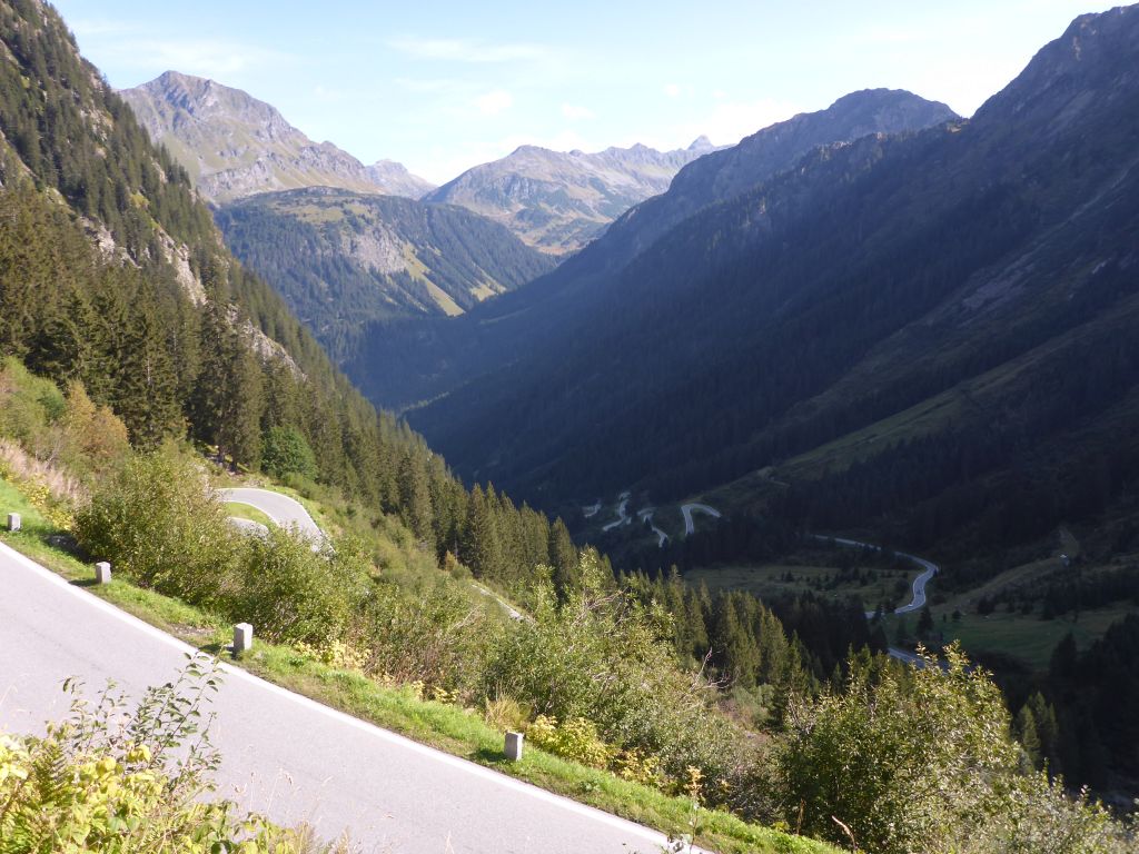
along this impressive winding, …
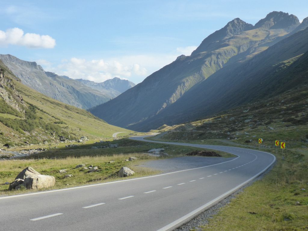
high alpine road.
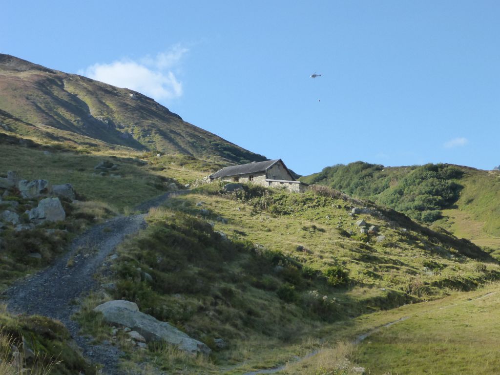
I saw this helicopter, which was carrying a big concrete bucket …
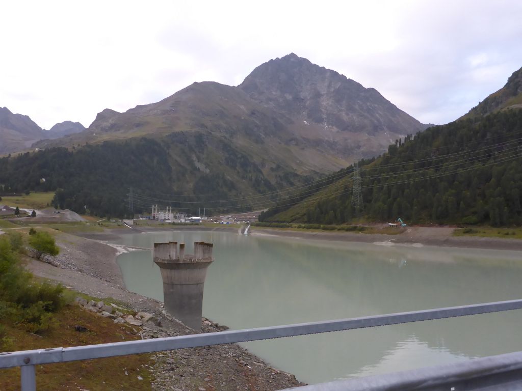
to a construction site, near the water dam on top of Silvretta Hochalpenstraße. This area is called “Biehler Höhe” and connects Tirol with Vorarlberg.

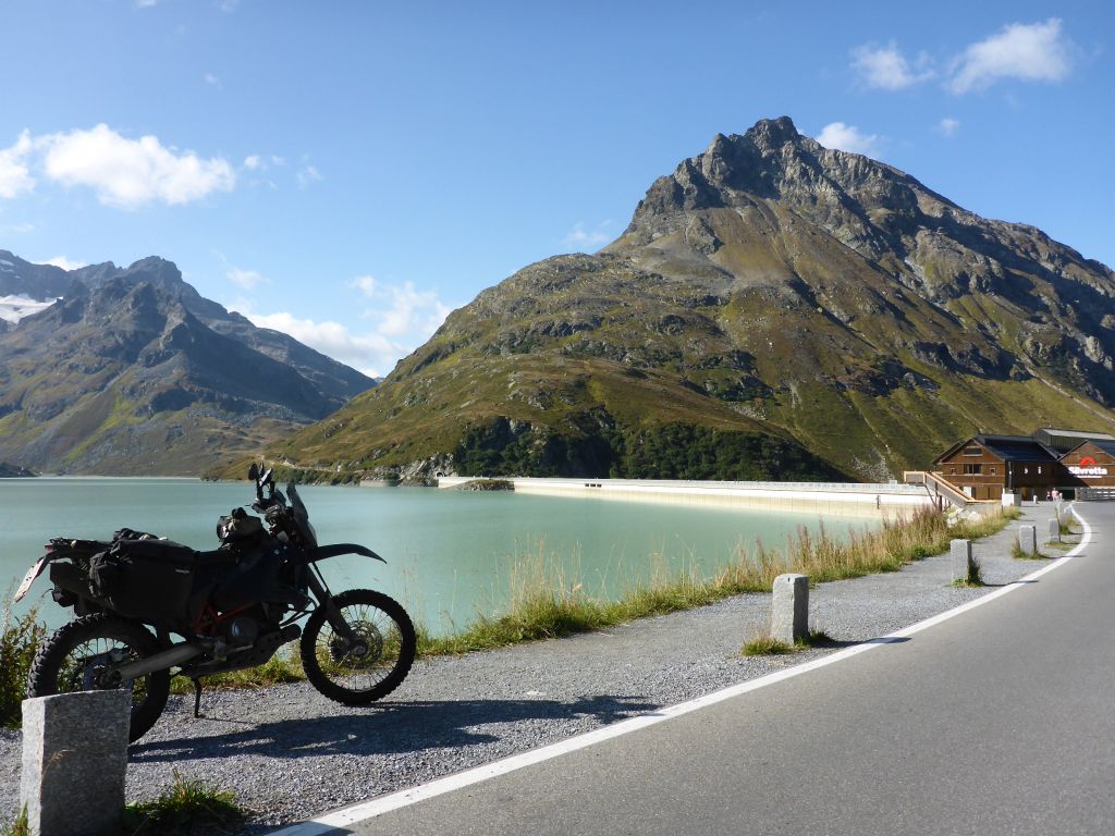
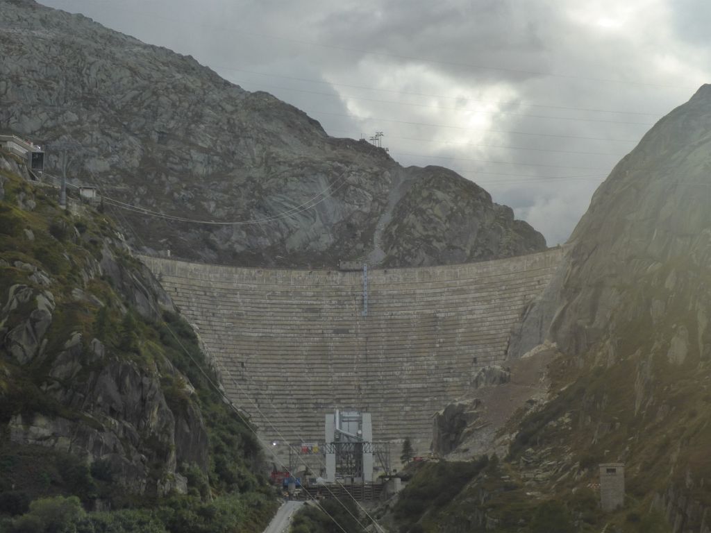
There will be surely higher water-dam-walls along the incoming route through the Swiss Alps, but each of them is fascinating me. This one is called “Silvretta Reservoir” and was built from war prisoners during, and after World War Two. This …
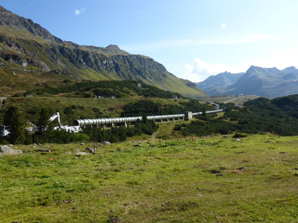
construction site, where a new water pressure pipe was built, is surely a consequence of the actual Austrian Energy-Changing-Plan. On the side of Vorarlberg the downward leading road offered an uncountable …
amount of perfect bends, which have beeen a pleasure to ride! After this effort …
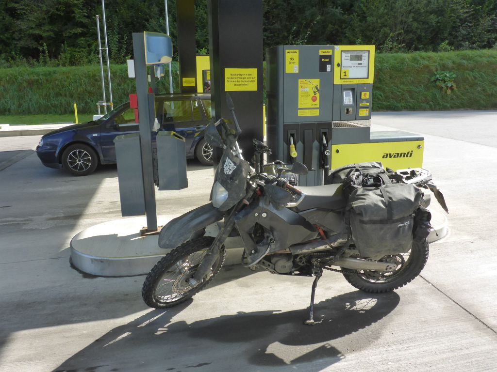
Чернотa bellies were refilled with a fresh flush of Dinosaur-Power. The ride went on and it didn’t took us long til we reached …
the capital of Austrias far most …
western federal state Vorarlberg. I stopped near a grocery store …
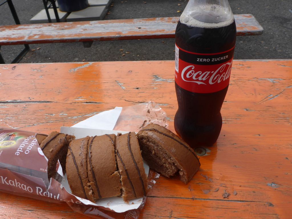
where I bought some of my most favored cocoa Swiss Roals and a coke. Because the weather forecast wasn’t great, I took the chance and bought some snacks for dinner too. After the brake it was time to leave Austria …
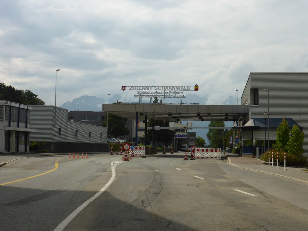
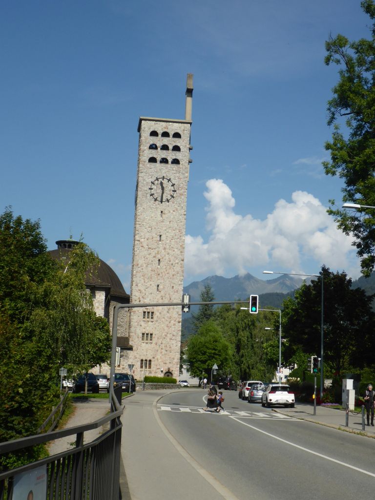
via the border crossing point “Schaanwald”. Just a few meters after the border the headquarter of the Liechtensteiner company “Kaiser” is located. This company is well known for its high performing “Mobile Walking Excavators“😎. The country Liechtenstein is tiny. Despite that it’s always impressive how much …
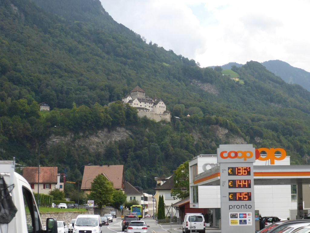
traffic runs through the capital Vaduz, at the feet of the name giving castle. It didn’t took us long until …
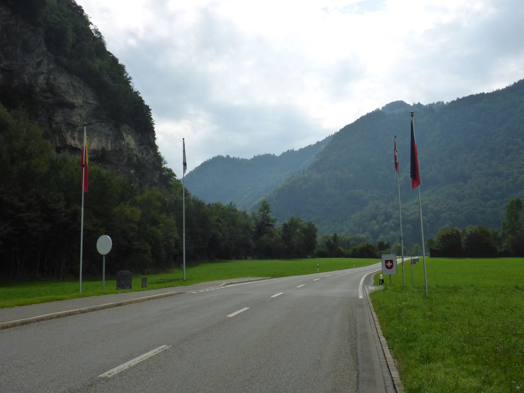
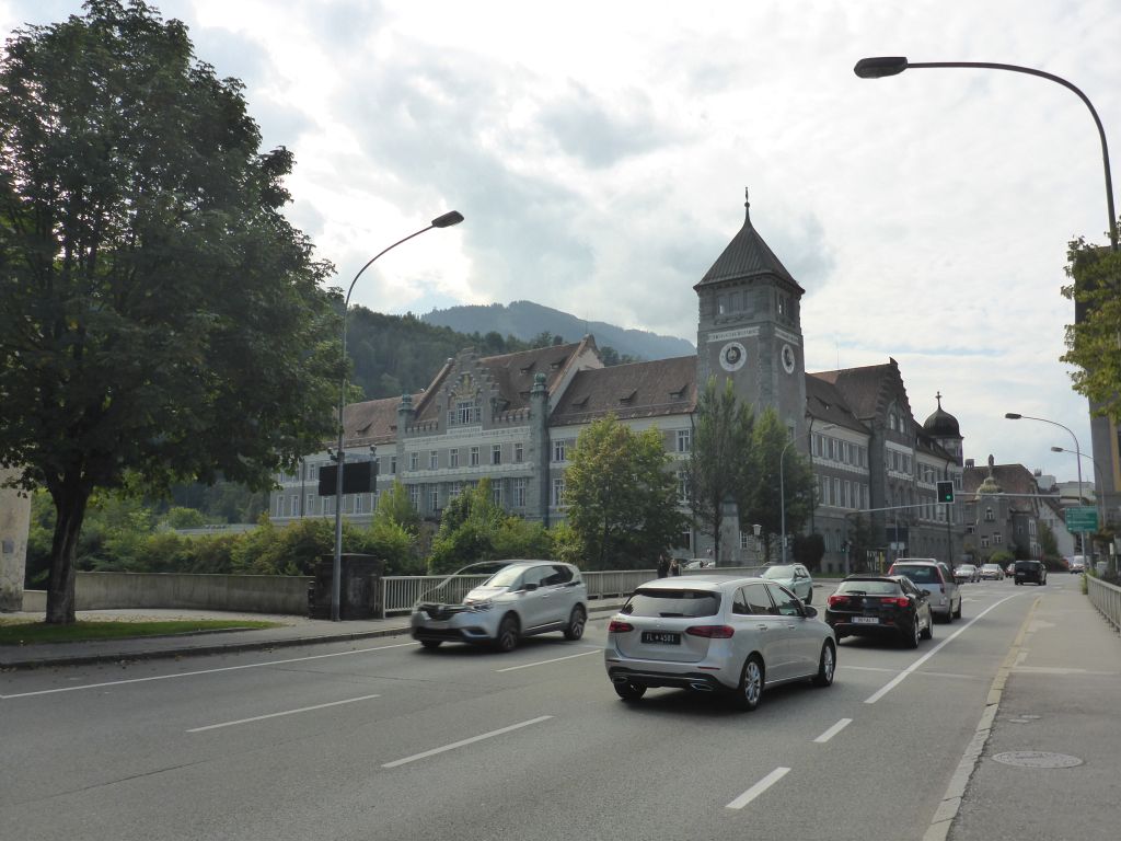
the border with Switzerland was reached. The journey continued through the city …
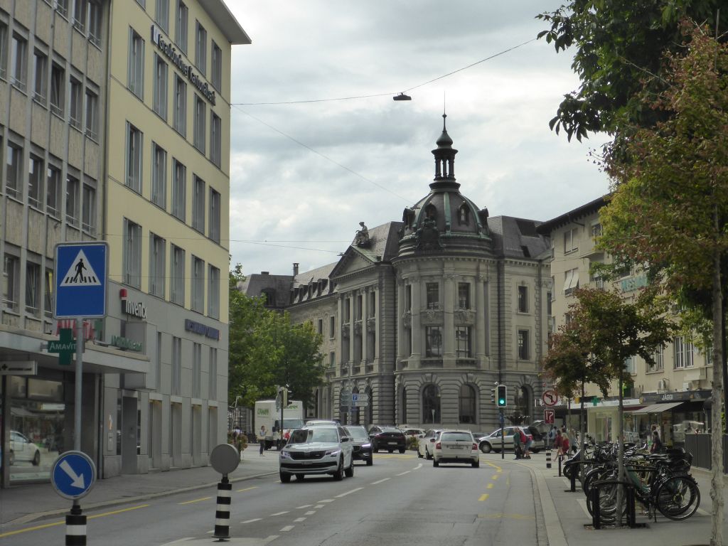
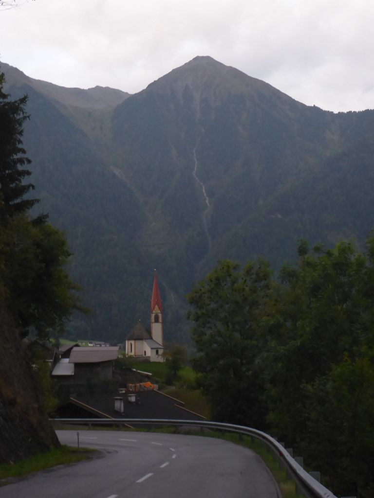
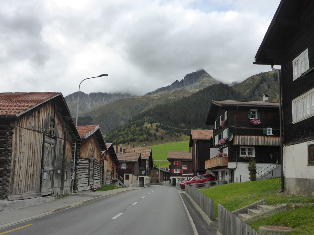
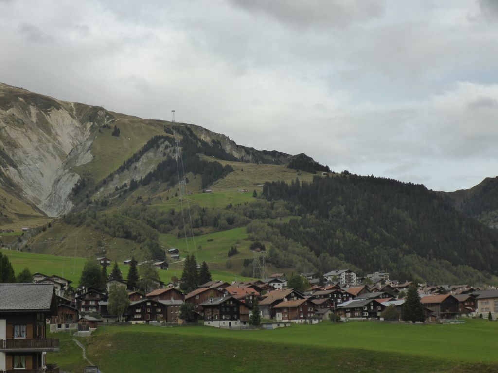
Chur and other …
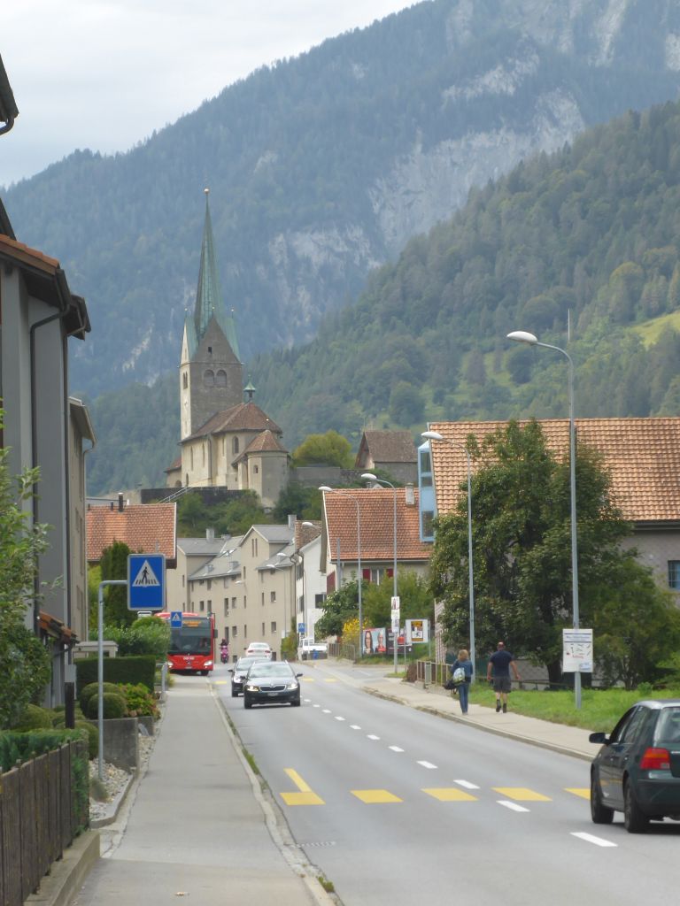
smaller villages …
on our way southwestwards, always following the …
valleys which river Rhine formed.
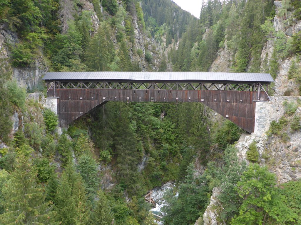
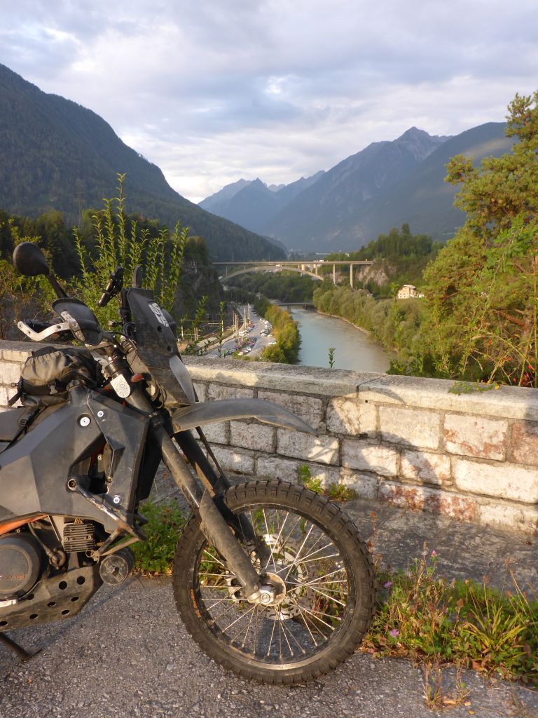
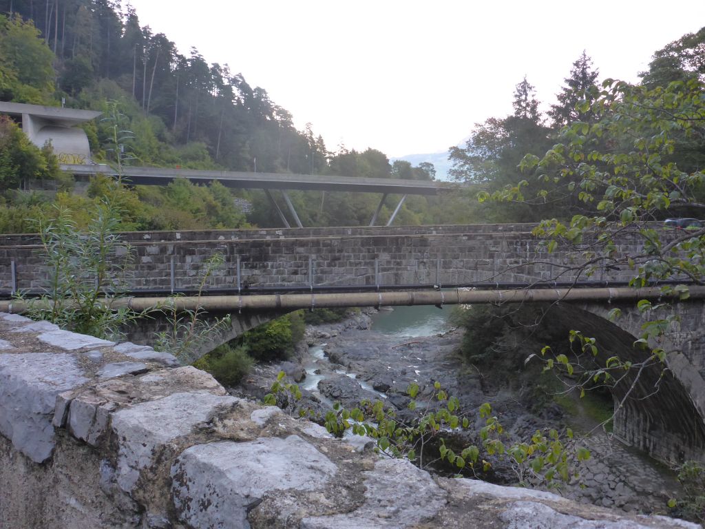
We passed these two …
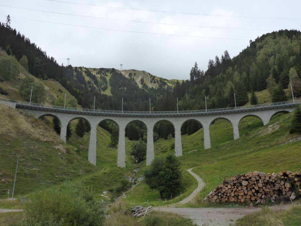
impressive bridges. Now, leaving back the dense populated areas, …
the scenery turned …
into a lovely …
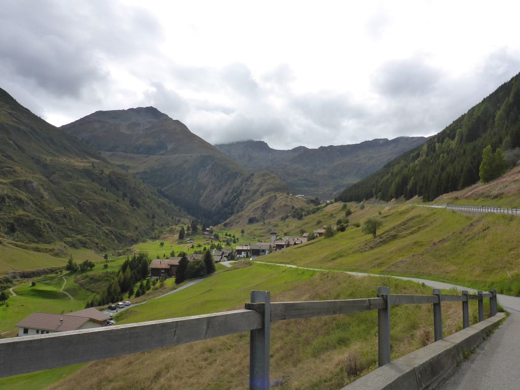
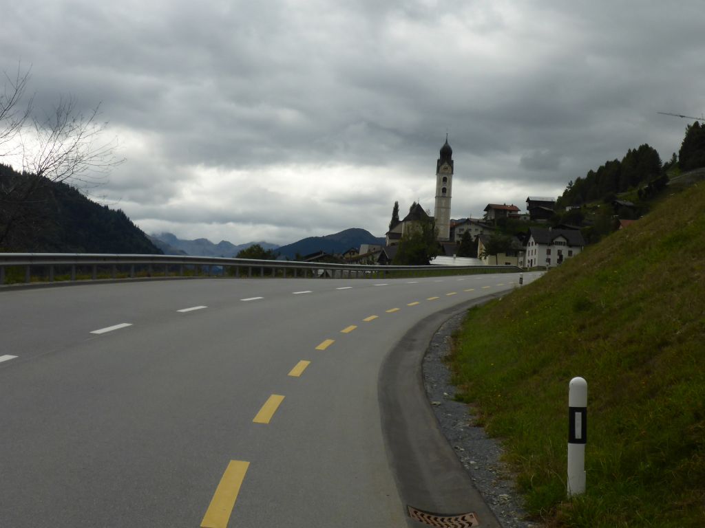
alpine idyll. The road went …
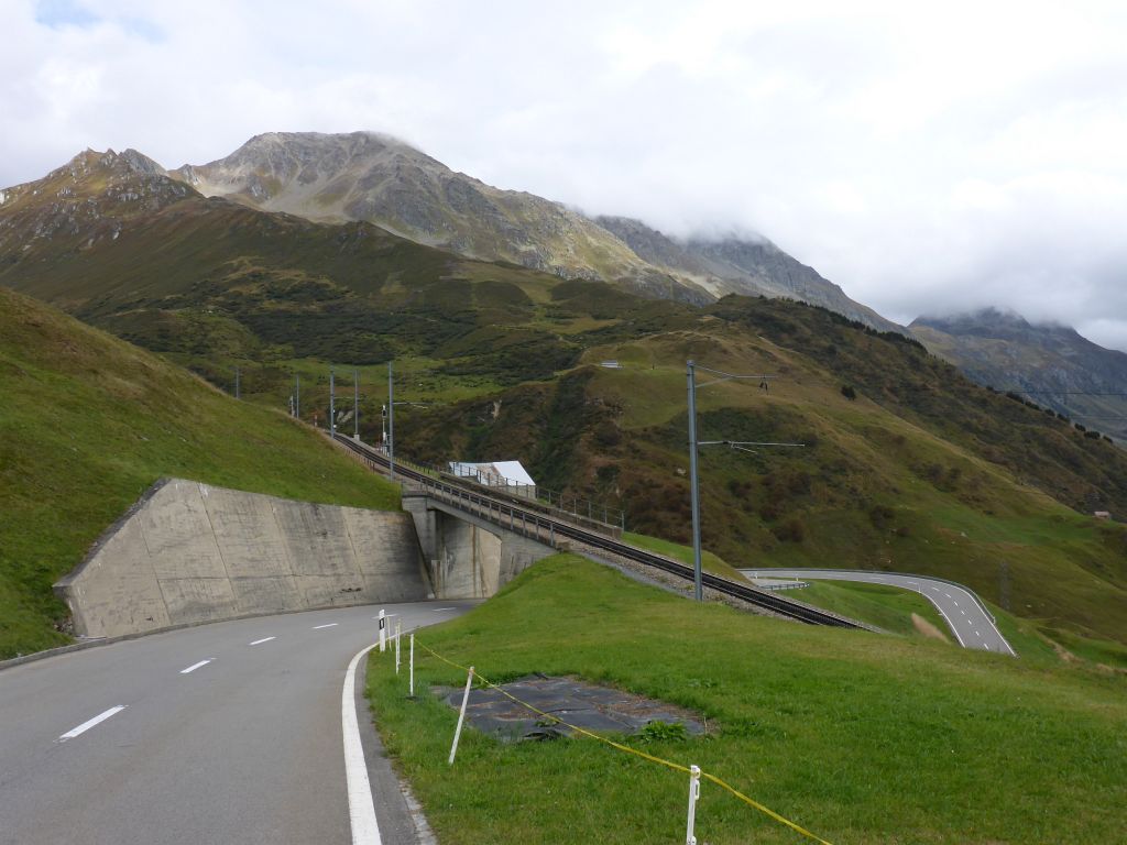
curvy again. Чернотa and I climbed …
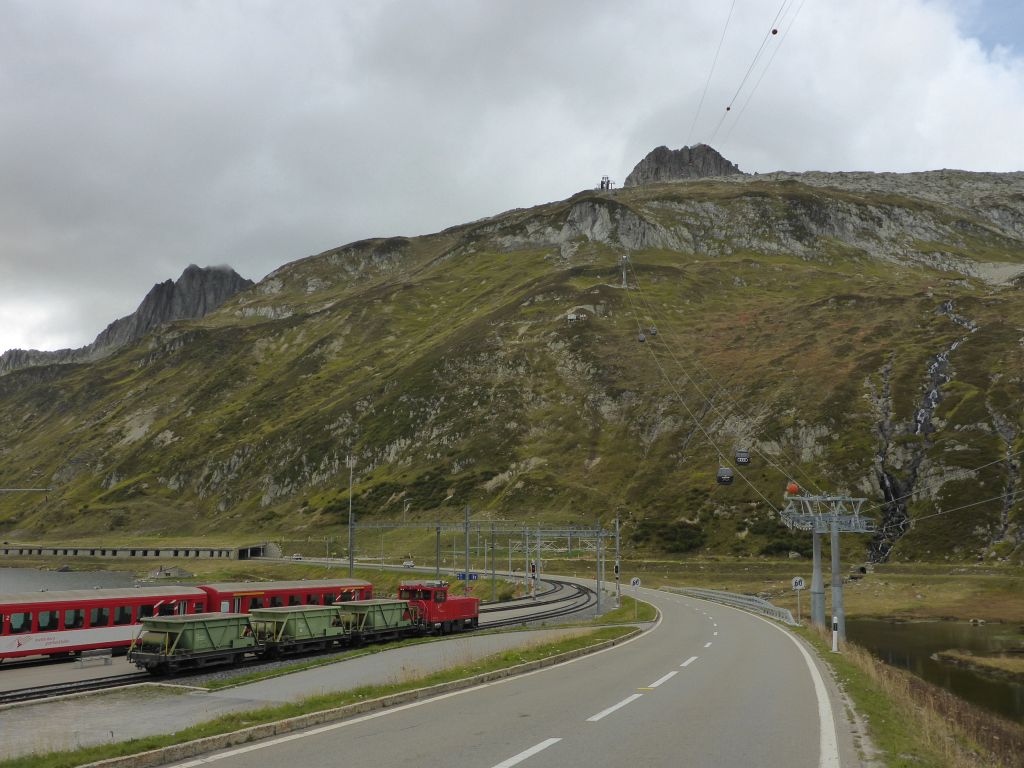
the “Oberalp Pass” – where the source of the huge stream Rhine is located. The pass height and its skiing areas are also reachable with a railway from the village Andermatt.
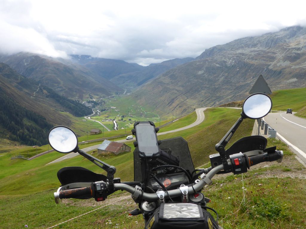
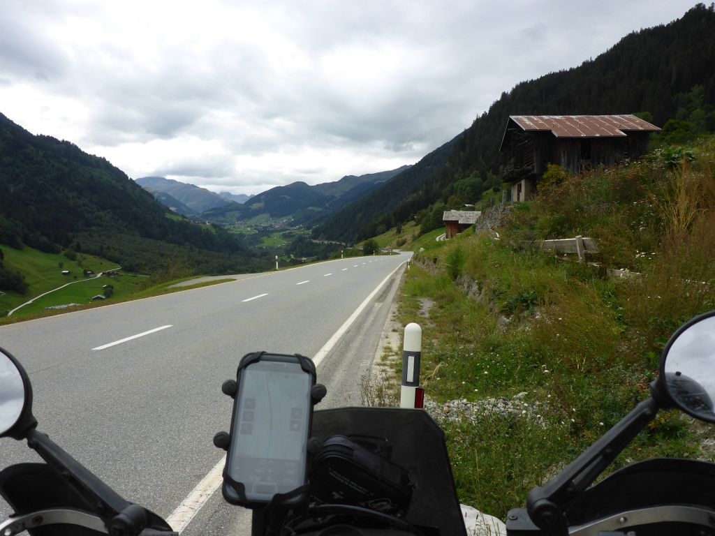
On the western end of the pass height it was time for a short rest with a great view westwards. When the potty break was done…
we passed some …
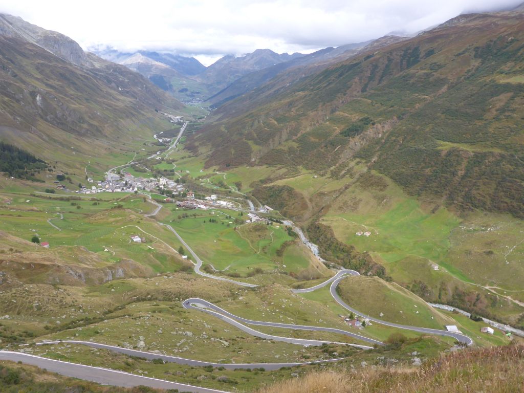
villages and reached finally both of these days highlights.
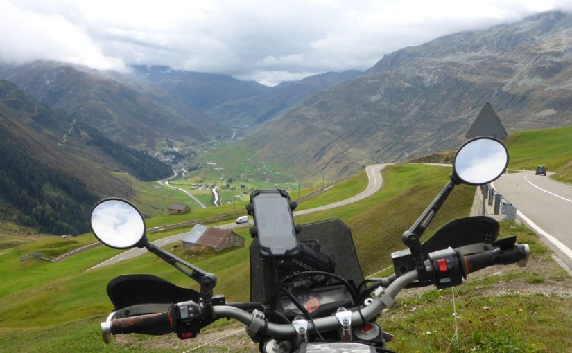
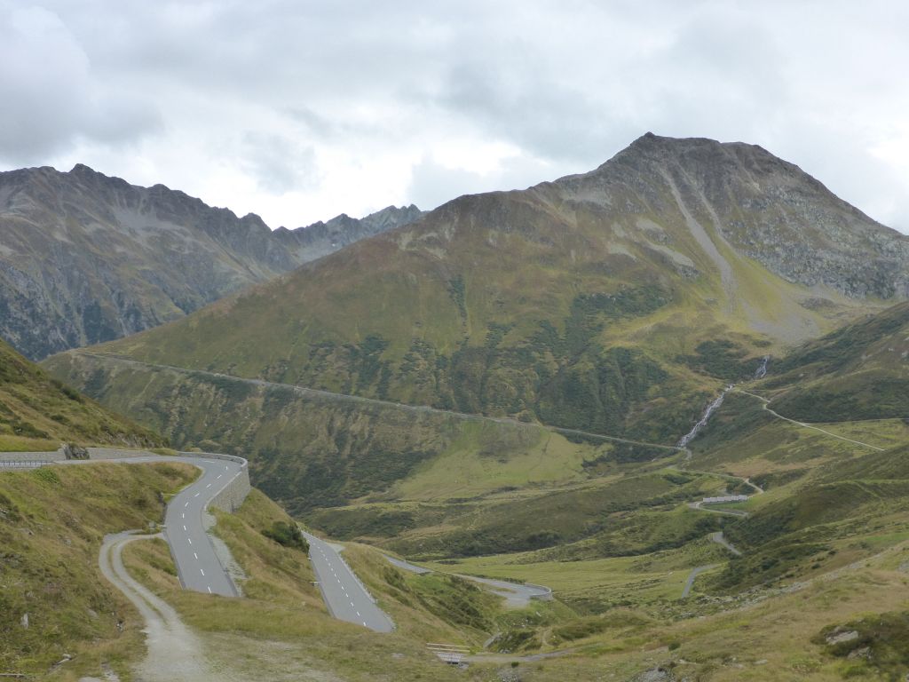
First we climbed the Furka-Pass from its eastern side along some very nice serpentine, just to arrive at its top …
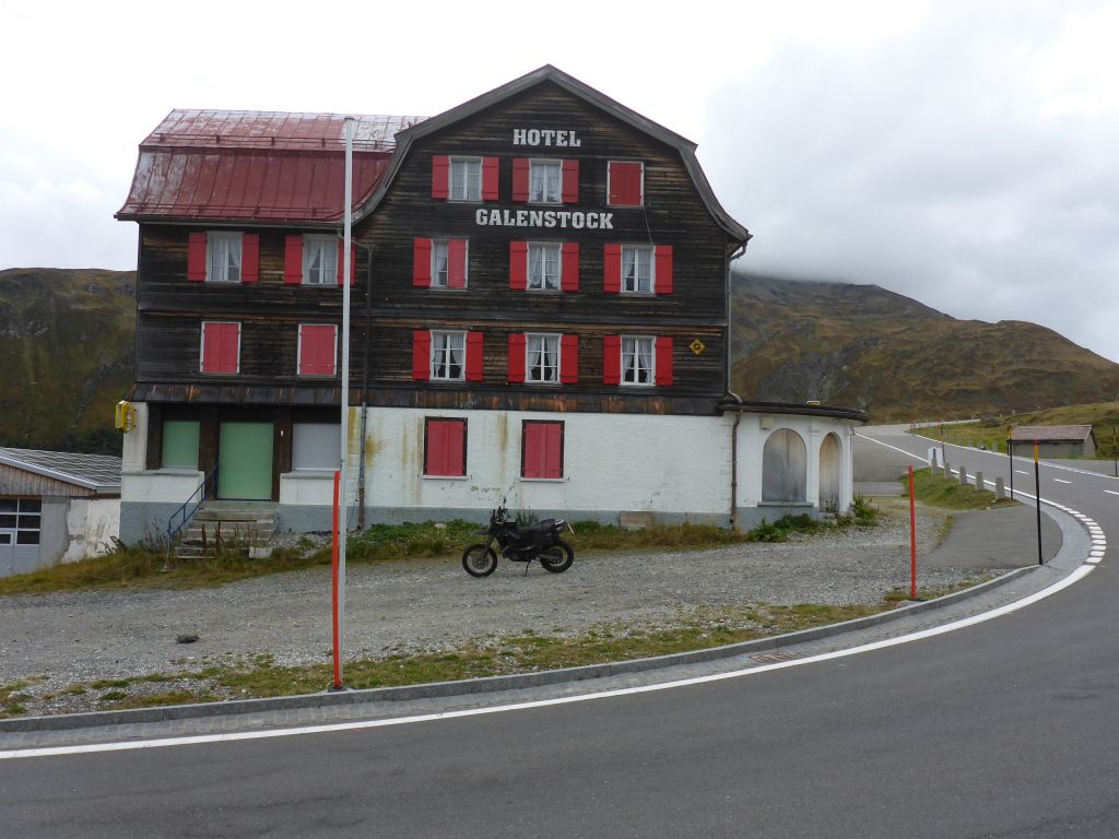
where this nice mountain hotel stands. Why was this a highlight for me? Because …
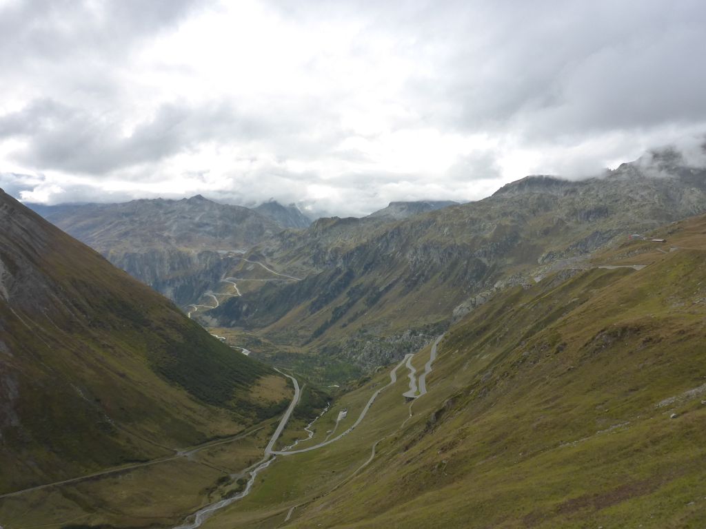
the view over the western ramp of “Furka Pass“, combined with the …
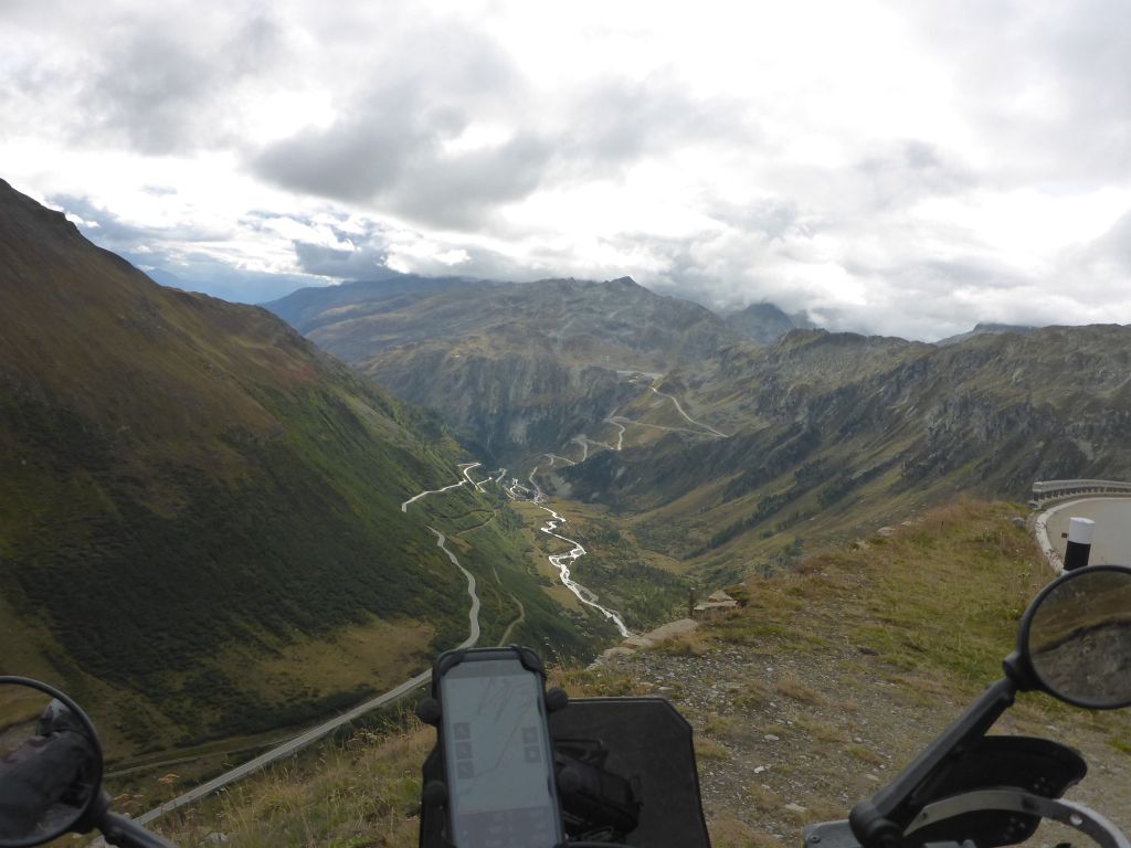
sight to the eastern slope of “Grimsel Pass” and …
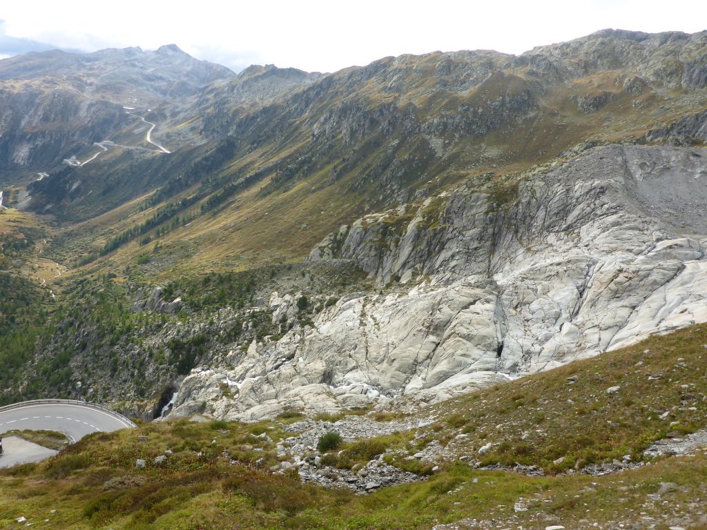
the huge scarred mountain shoulder from Rhone Glacier are pretty unique.😍
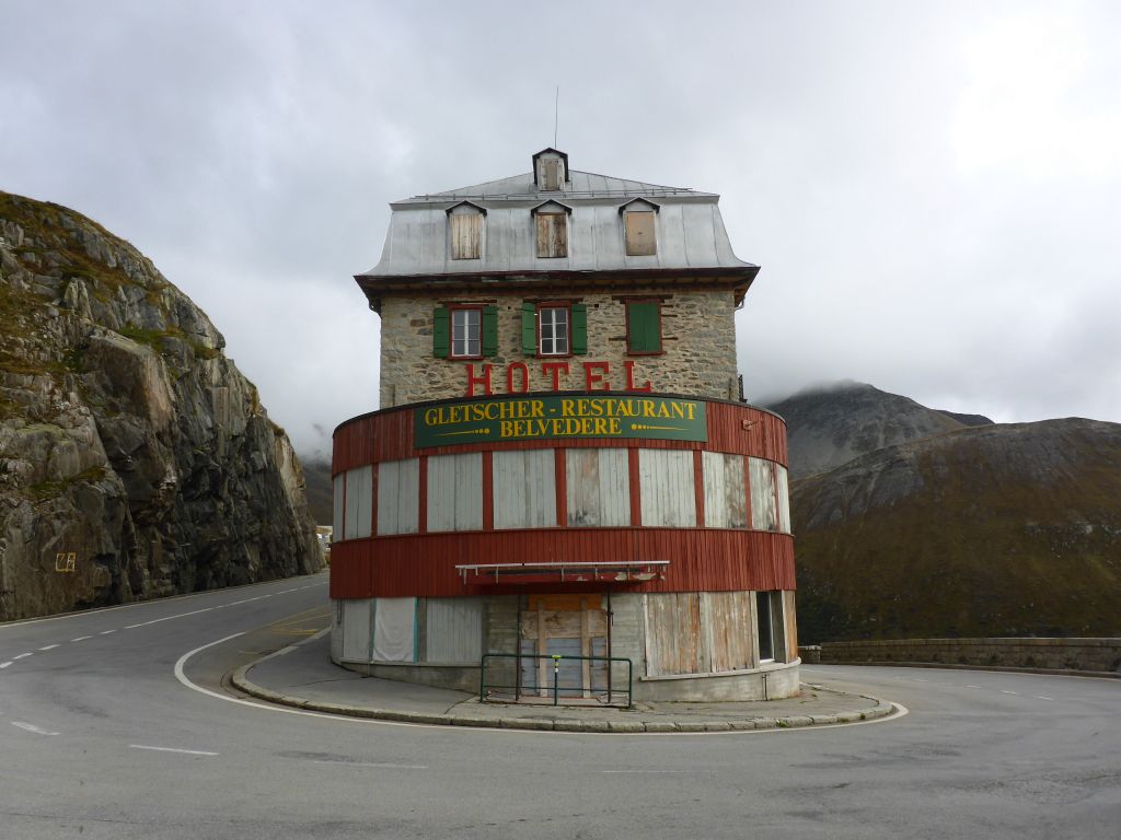
Seeing the “Hotel Belvedere” with my own eyes for the first time surely put the cherry on top of the cake. The whole area which Чернотa and I …
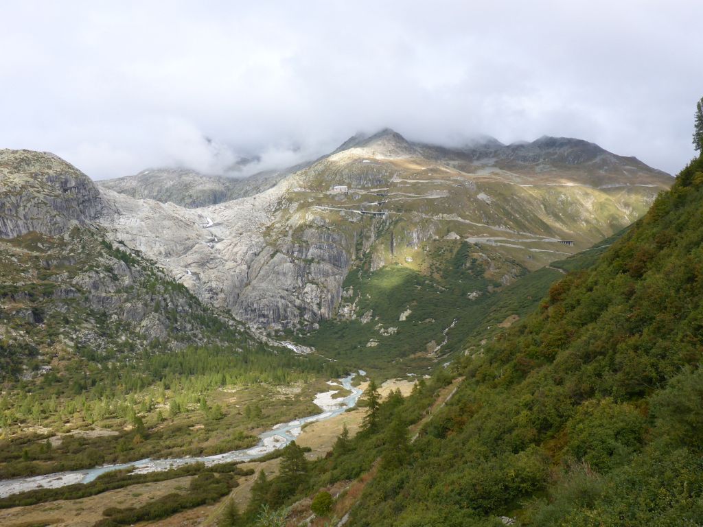
traversed, is already well documented on film in this vintage movie scene from “James Bond – Goldfinger” with Sean Connery.
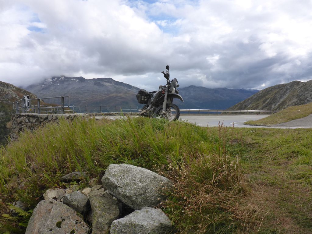
My personal star Чернотa brought us further to …
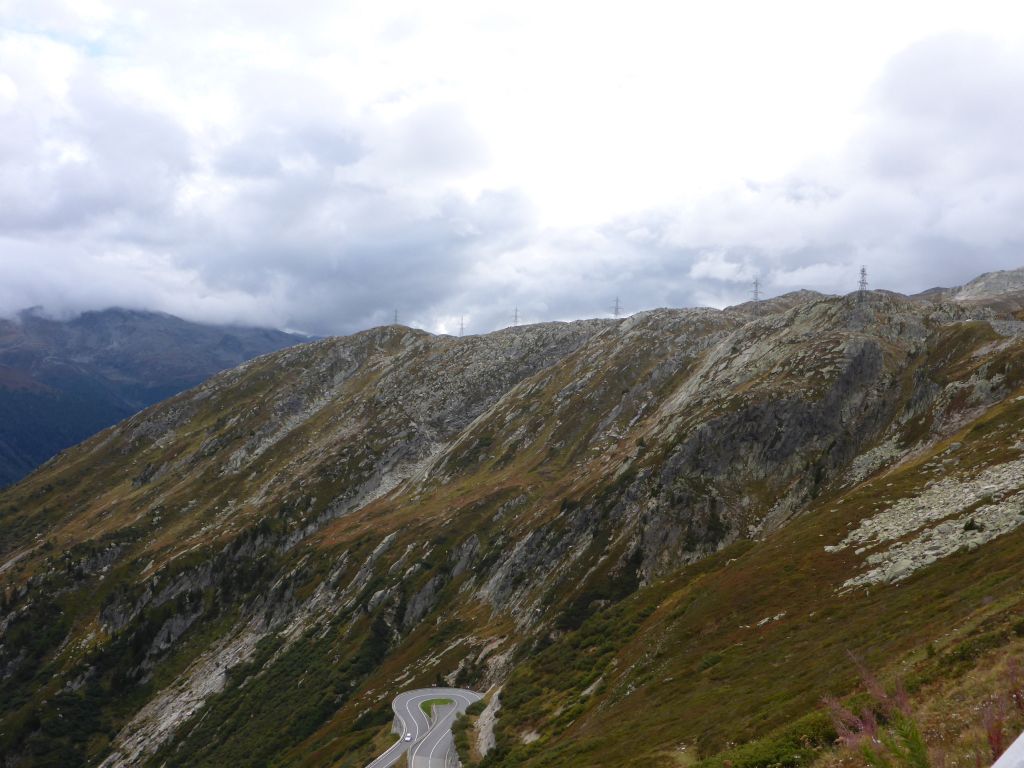
Grimsel Pass, where …
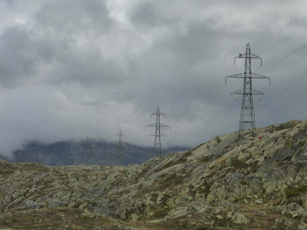
some serious maintenance was done to the power lines, which are leading over the pass height.
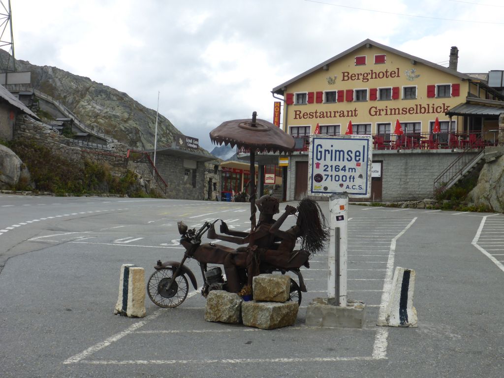
One highlight was chased by another. Now:
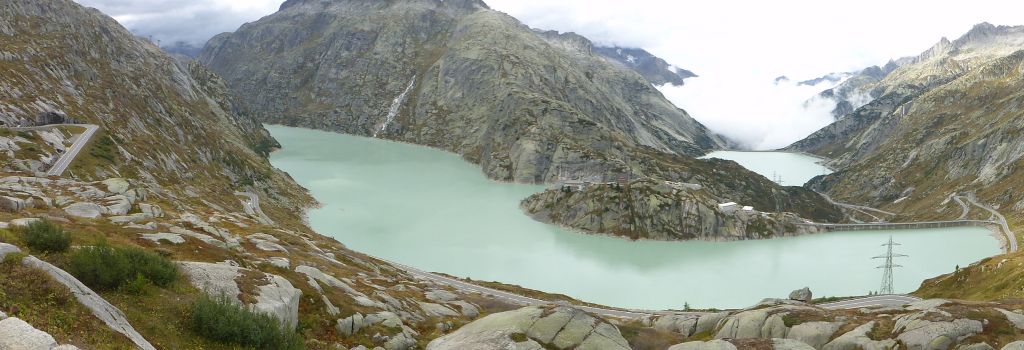
Lake Grimsel with its …
very impressive water dams and likewise impressive cable cars leading up the mountains.
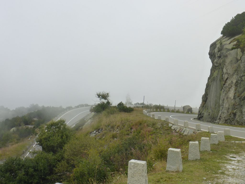
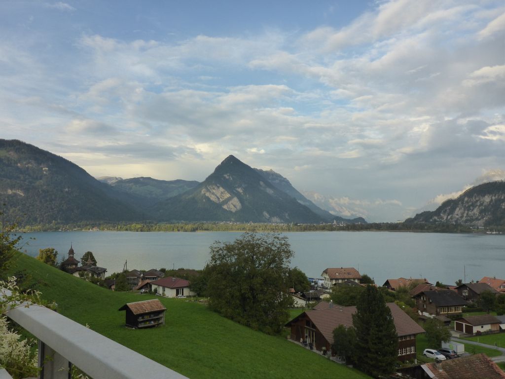
In late afternoon, while descending, fog covered the curvy roads on our way down, onwards to the big lakes of Switzerland.
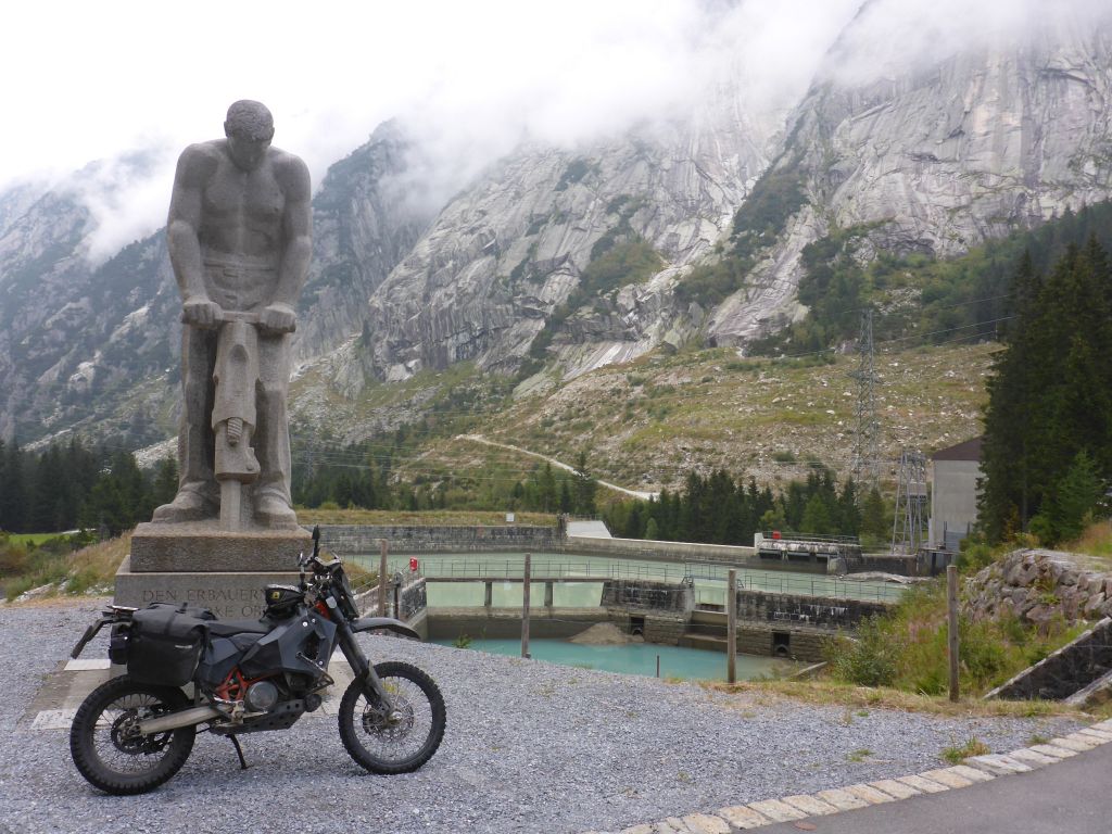
Another brake was taken at this monument. It is honoring all the workers which built this impressive water plants and mountain roads along we just came from. As soon …
as the flat lands have been reached, we had to traverse this single heavy rain shower. When we …
reached …
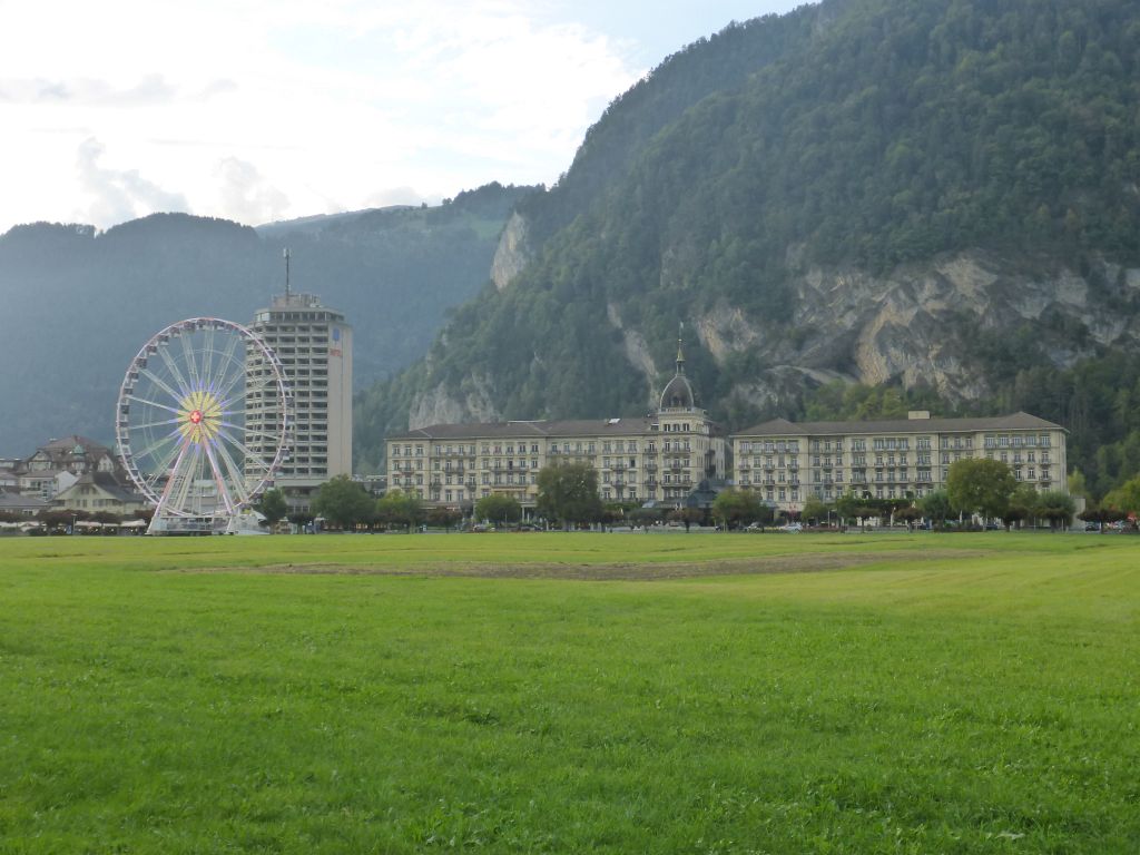
the city Interlaken, the rain disappeared. I was a bit disturbed, when I saw that a theme park in front of the hotel “Victoria Jungfrau” was open. No Covid-19 Outbrake in Switzerland? Whatever! I pushed …
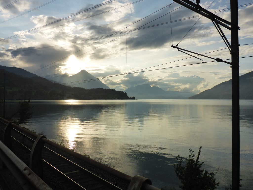
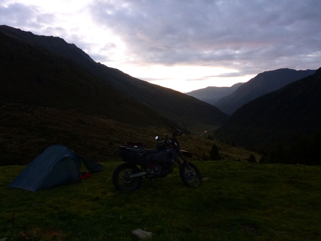
onwards our route and found about …
45 minutes before dawn, after a long search, …
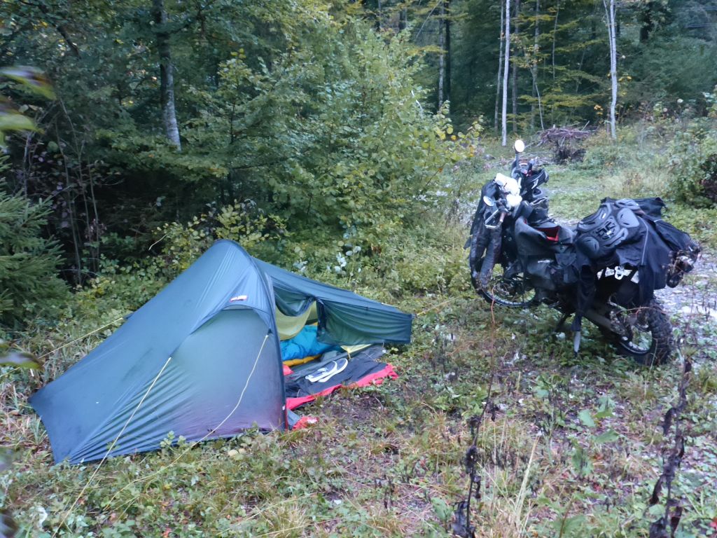
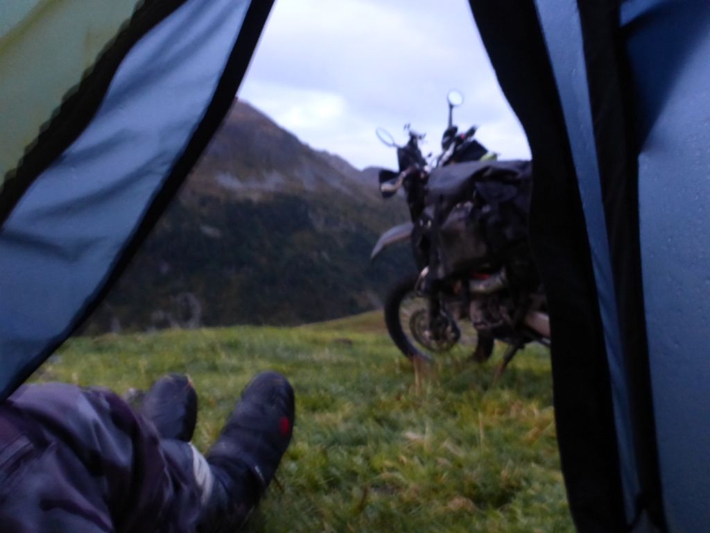
a place for shelter in the dim forest. Not the most beautiful camping spot, but at least it was flat and there was…
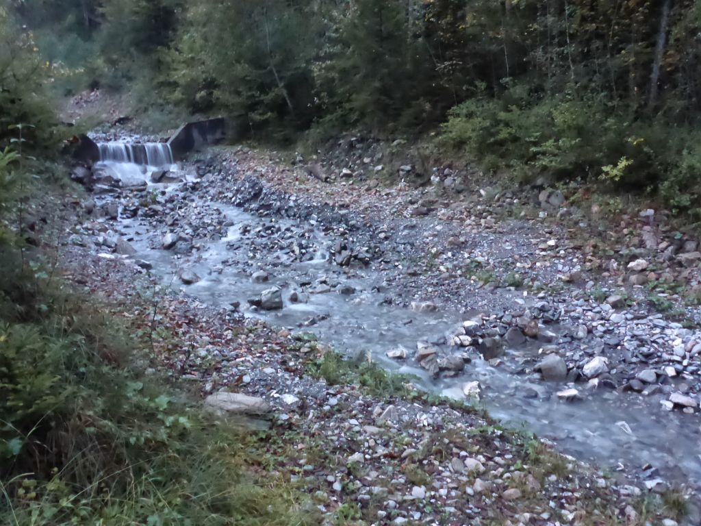
a creek for body care and water refill close by. Washing myself in this uneven gravel riverbed wasn’t easy with an injured leg. I had to do it in sitting position because my right ankle was way too unstable for doing it standing up. But hey! At least I’m able to ride my tour! When the cold wash was done🥶, it was time for …
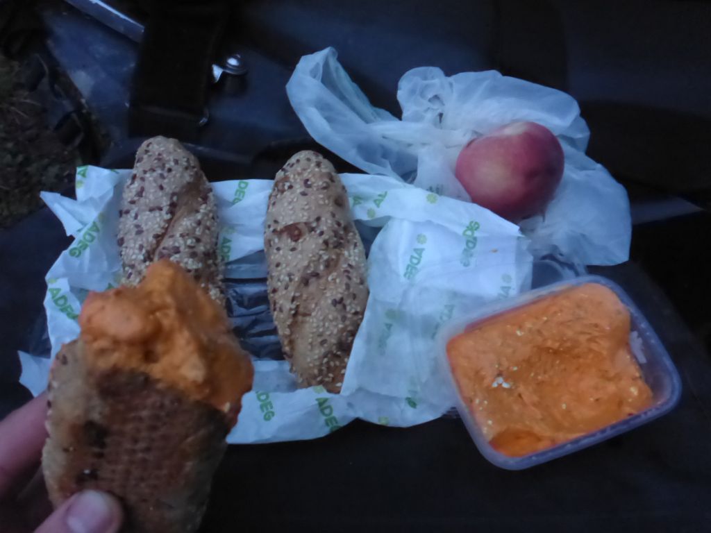
dinner. Grain bread with a spicy pepper dip and an apple. Simple, but tasty. Sadly I recognized the lack of beer. 😥
With the dimming light, temperatures decreased quick. So it was time for entering the tent. Because there was no cell phone signal I continued to read in my e-book until my eyelids fell down.
Total covered distance this day: 470 km or 290 mi.
Interested in my doings? Than feel free to join my social media channels for further updates! ➡