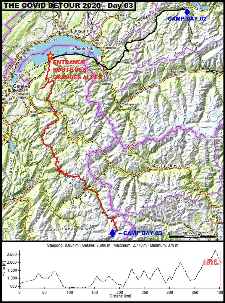
“ROUTE DES GRANDES ALPES“
(Part 1)
Chased by cold temperatures Чернотa and I pushed forward consequently. The main goal of the riding day number three was reaching the entrance of the “Route des Grandes Alpes” before midday. This way it would be possible to do at least about 1/3 of the “Route des Grandes Alpes”, what was my second goal for this day.
This way it would be possible for us to stay ahead of the incoming first snow in the high alpine regions on the next riding day. That was the plan and probably our last chance this year for passing the incoming, about 2800 meters or 9100 feet high alpine areas!
With dawn …
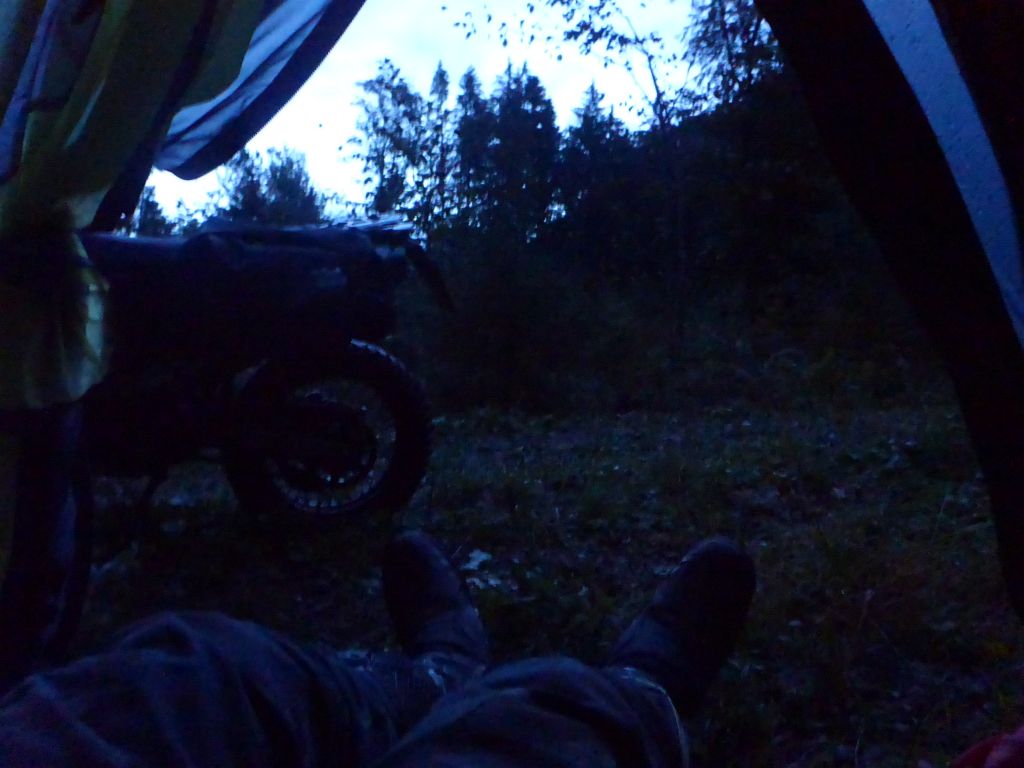
I got up after a rainy night, did the personal wash and packed my gear. A …
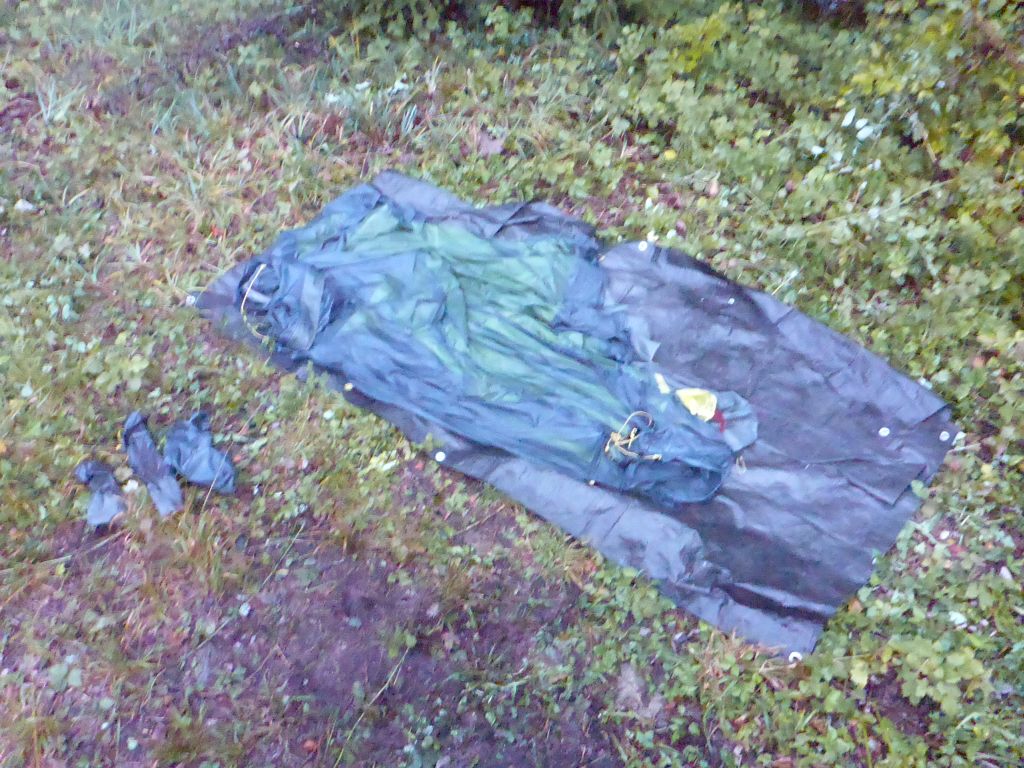
completely drenched tent is a sad thing to look at. Especially when you have to stow such a wet tent in your luggage, knowing, that you will sleep in that wet thing the incoming night … .
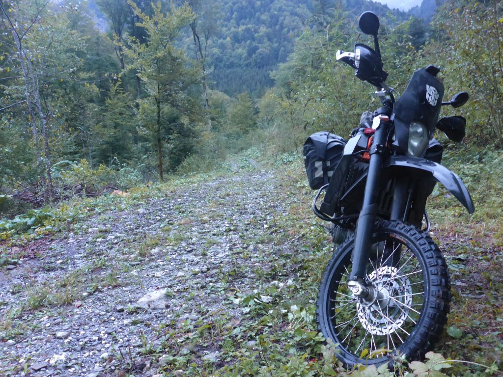
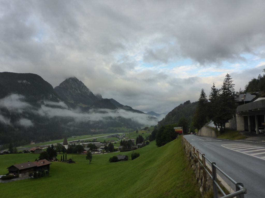
When Чернотa was settled we started into this …
gray day. We rode further on along the planned route westwards in the direction of lake Geneva.
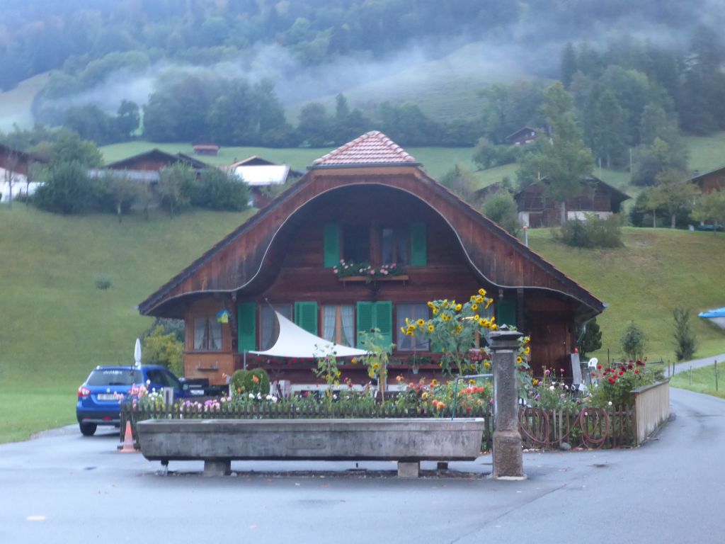
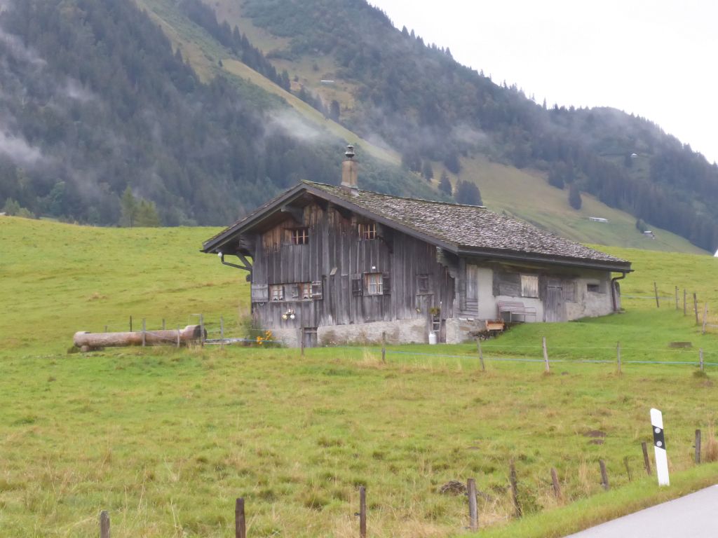
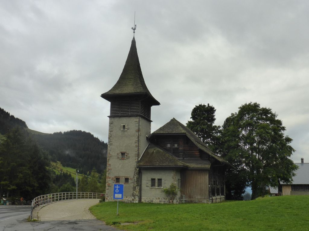
What a nice shaped house and …
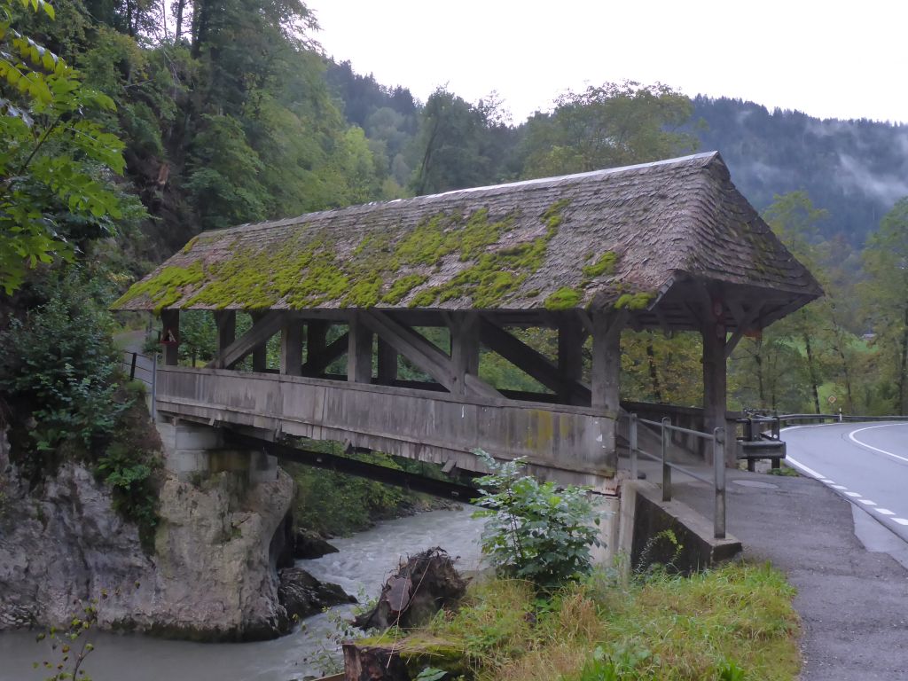
surely very old wooden bridge! Switzerland is very well known …
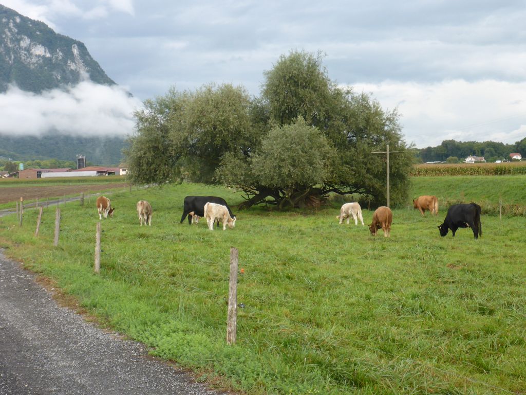
for its cherished agricultural landscape. Machines …
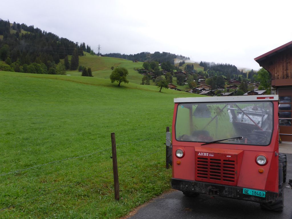
like this very old model from the Swiss company “AEBI” are necessary for fulfilling the hard work in the steep, sensitive and often wet mountain terrain.
Their all terrain vehicles are very impressive regarding their diversity. Properties like four-wheel drive, four wheel steering, light weight, low center of gravity, detailed considered design and durability are unique. Their newest all terrain model is a masterpiece in the art of engineering!
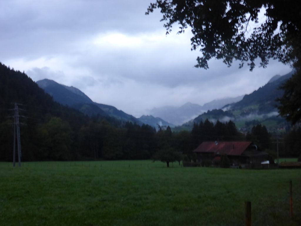
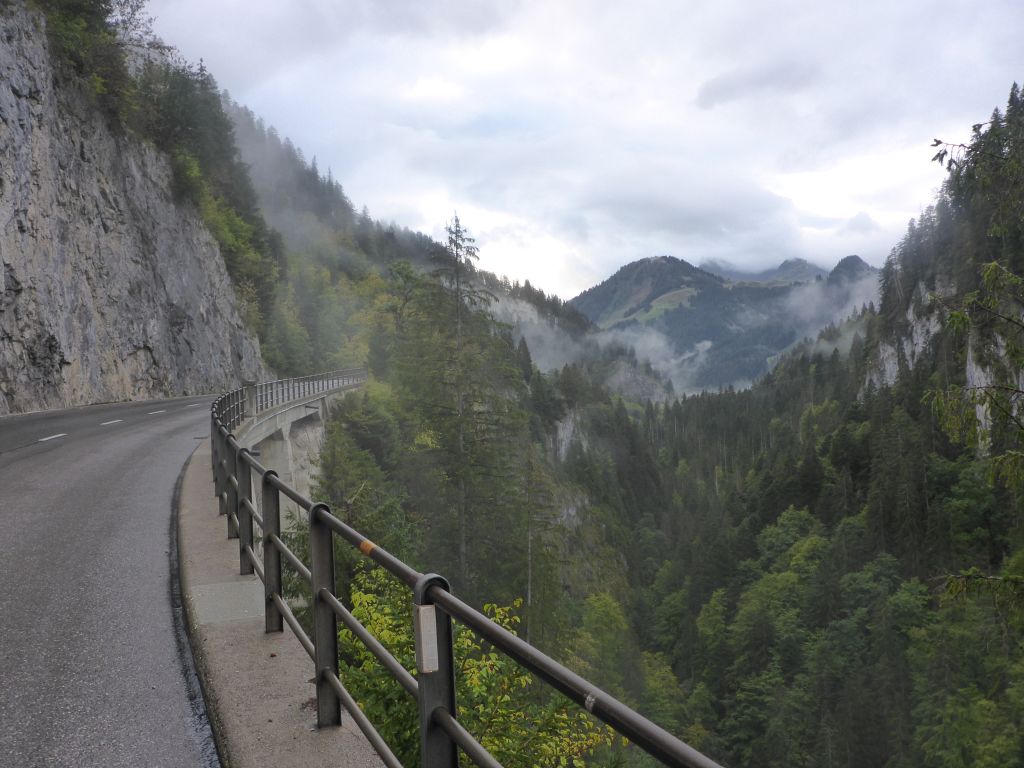
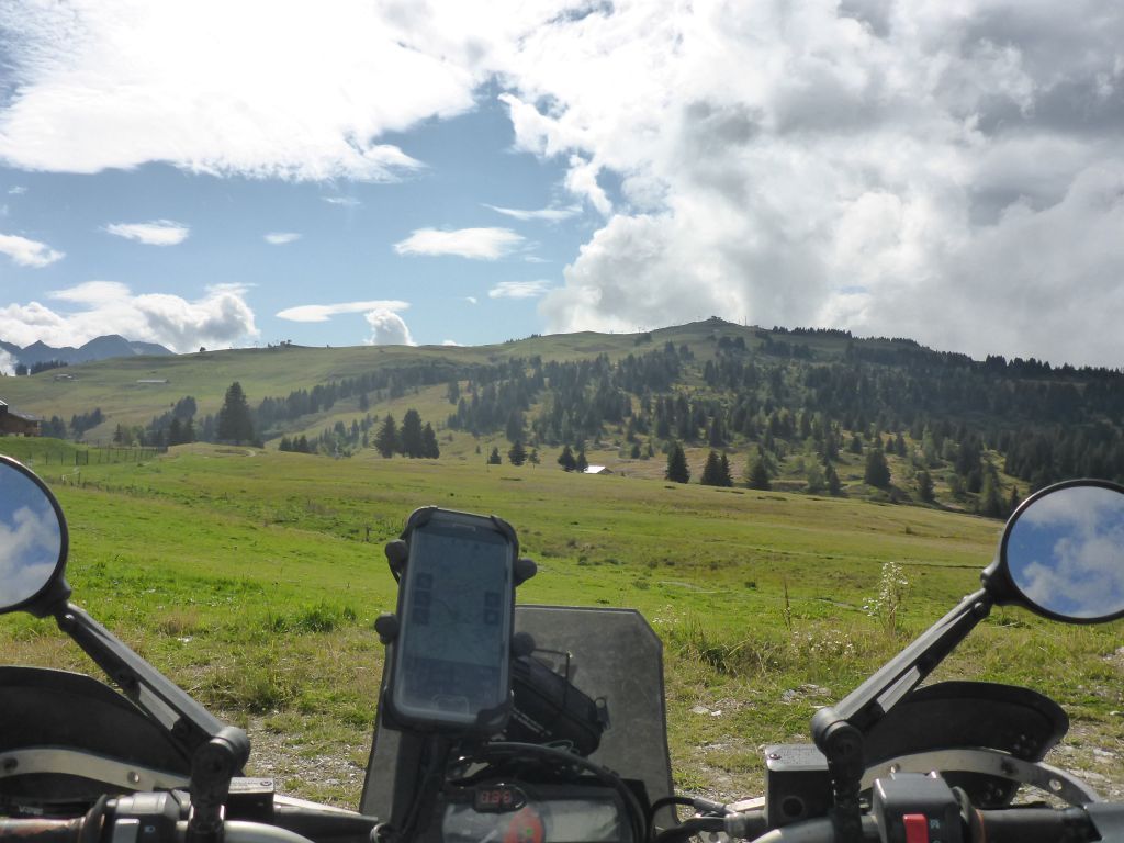
The weather along this morning …
ride through …
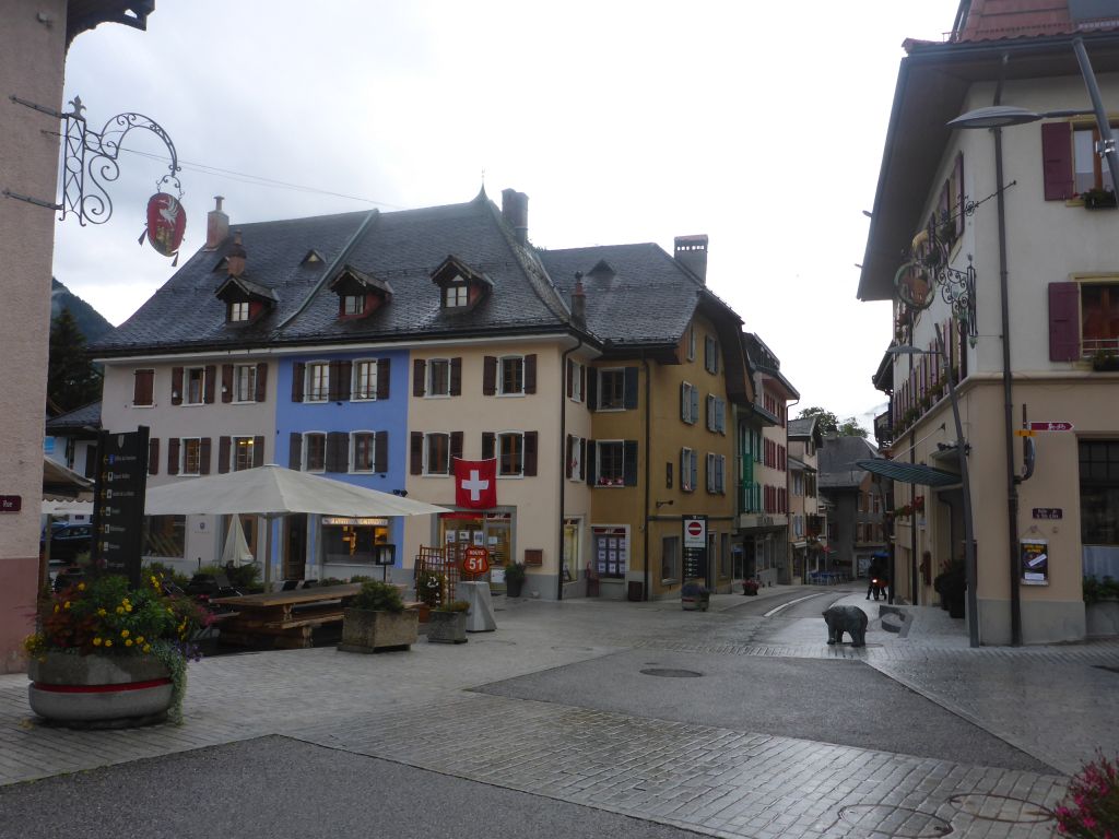
western Switzerland stayed wet, but with proper gear that was no problem.
On the top of an …
unnamed …
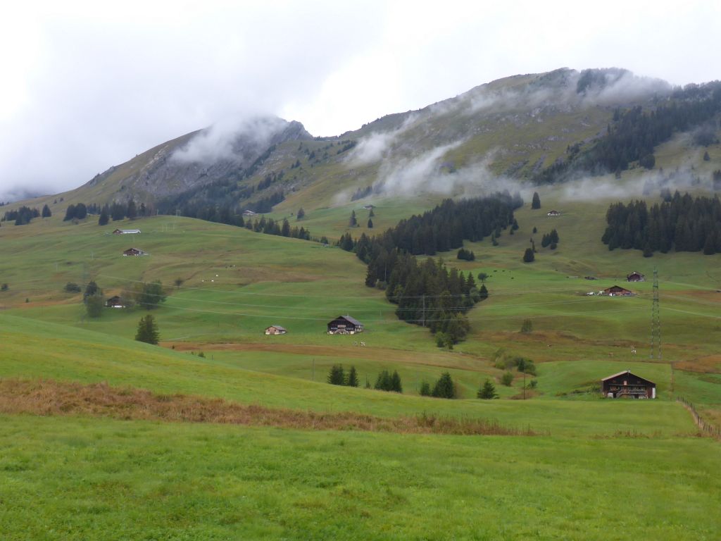
alpine plateau …
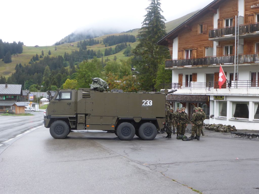
I’ve seen those poor young soldiers. The just unloaded their bulky gear from the truck, so they probably were on the go for a longer stay outside. Surely a nice experience when big snow masses are announced within the next few days.
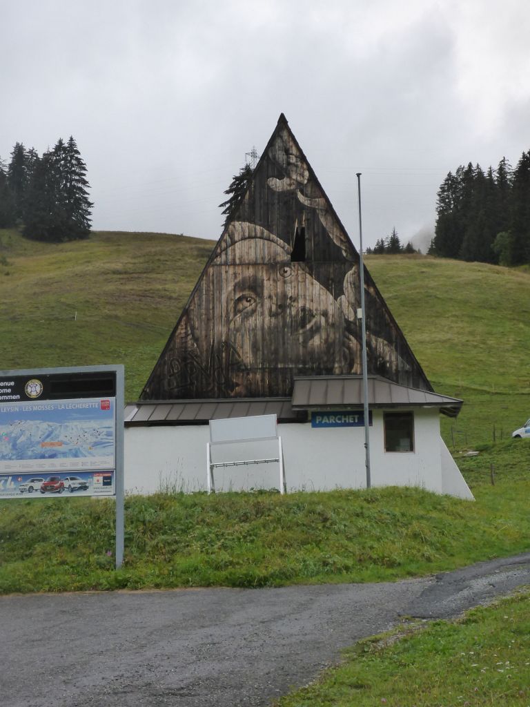
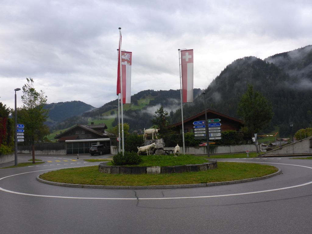
What a nice painting or is it a branding?!?!
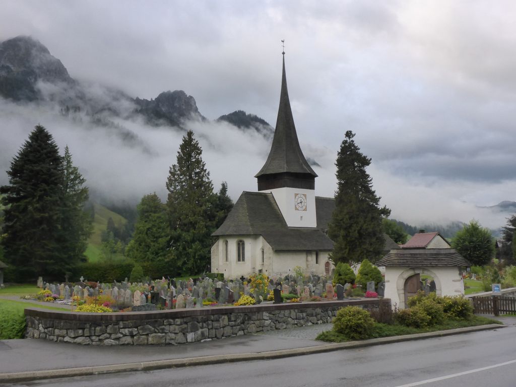
After this picture my black beauty entered …
obviously the French part of Switzerland.
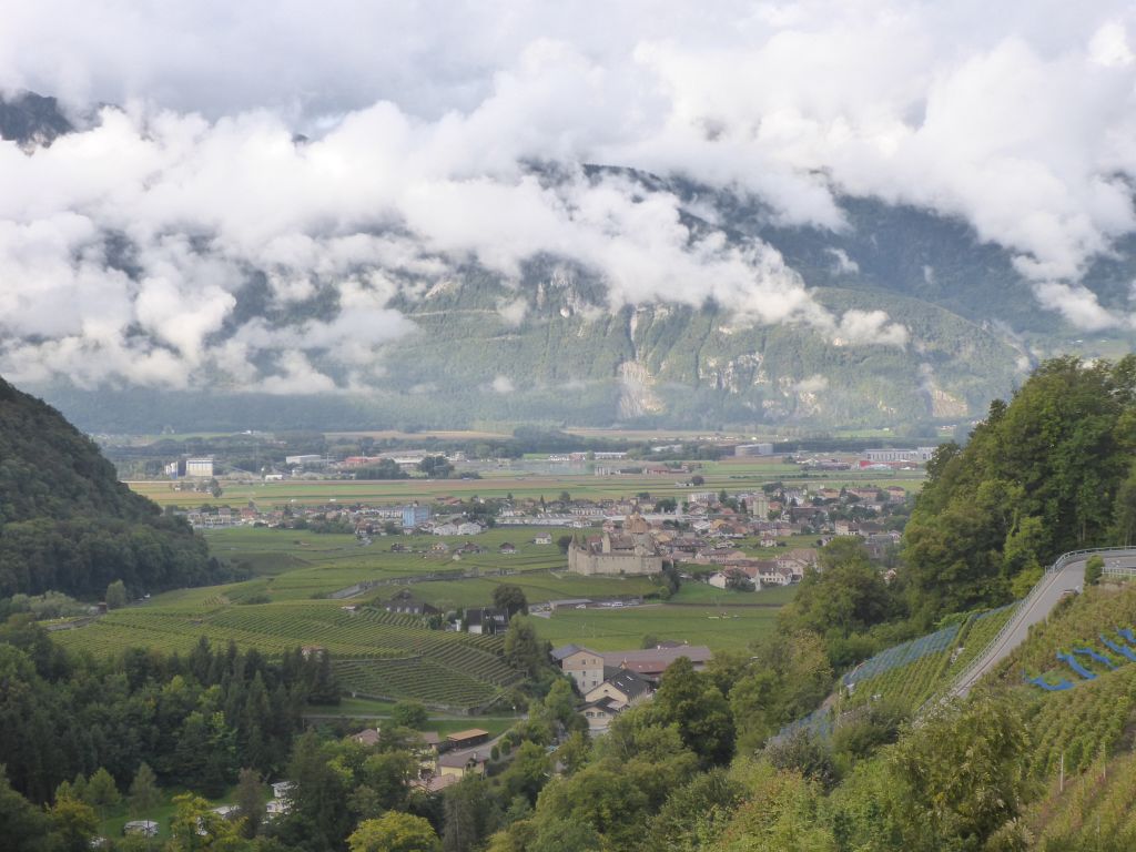
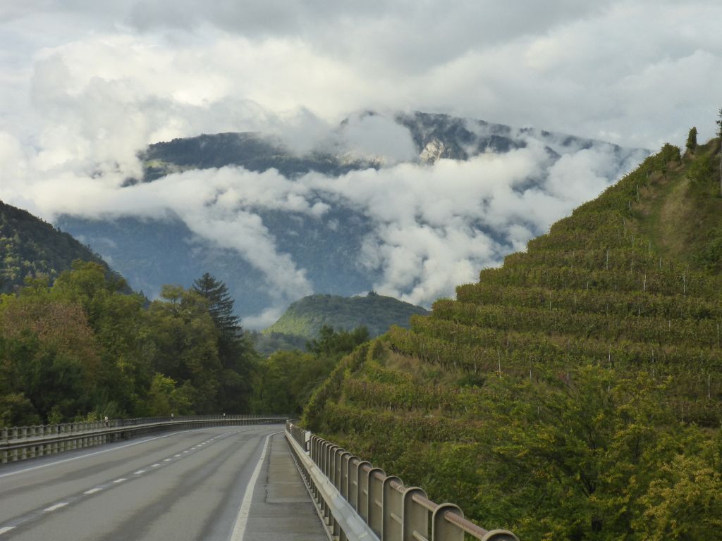
On a sunny day, the view over Aigle Castle …
and …
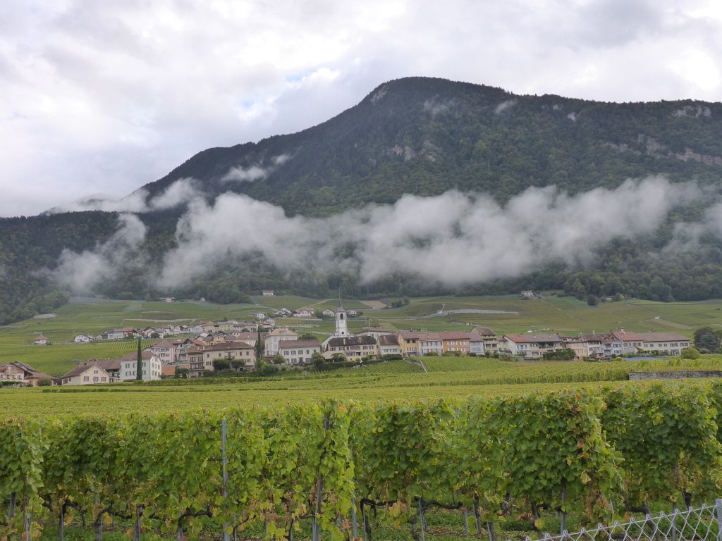
its wine countrys must be a spectacle.
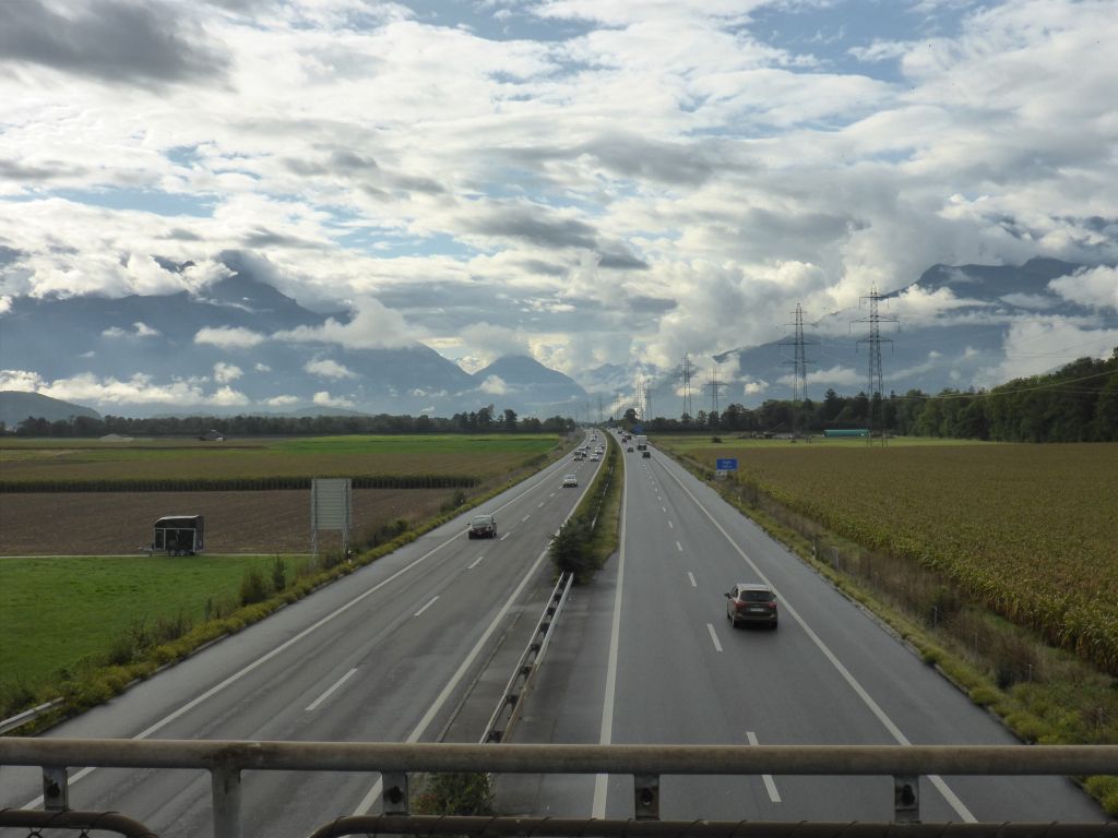
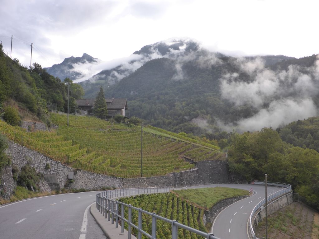
After bypassing like always the freeway, …
we followed some smaller back country roads
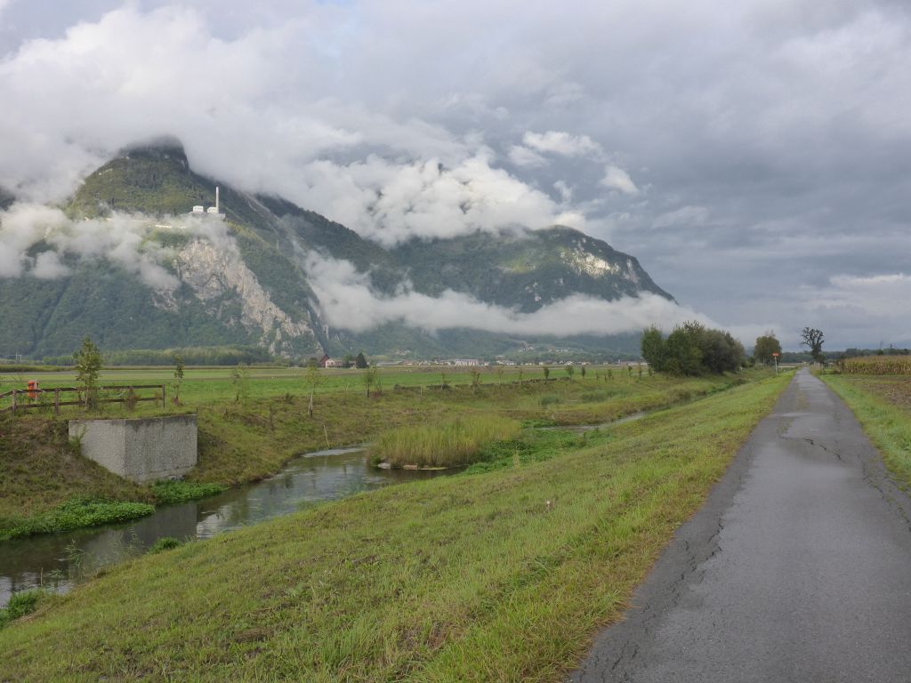
through the valleys of the river Rhone. On the left corner in the hills is the power plant Chavalon visible. It is out of duty since 1999 and was an oil burning power plant, which was built up in the height to avoid smog down in the valley.
Because a small bridge along the planned route was closed, I had to make a proper detour for crossing the river Rhone…
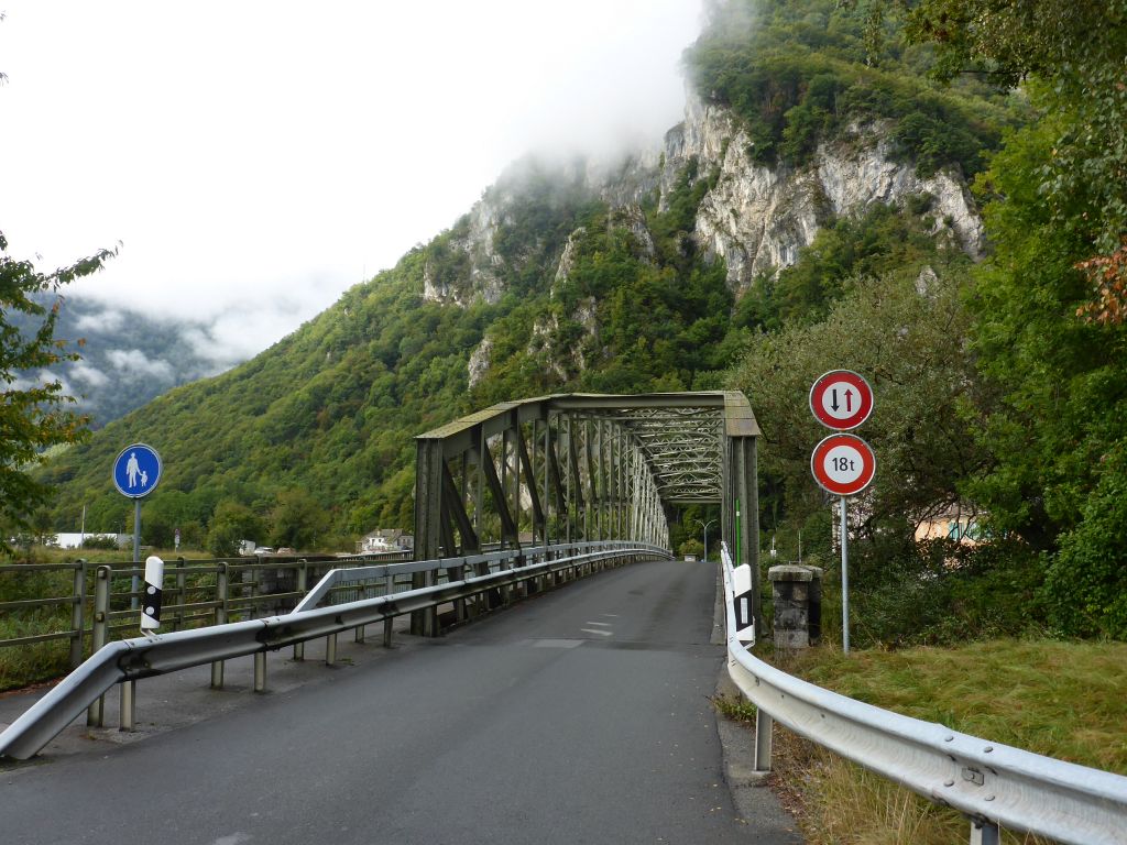
along this one. It was about 11 o’clock when we …
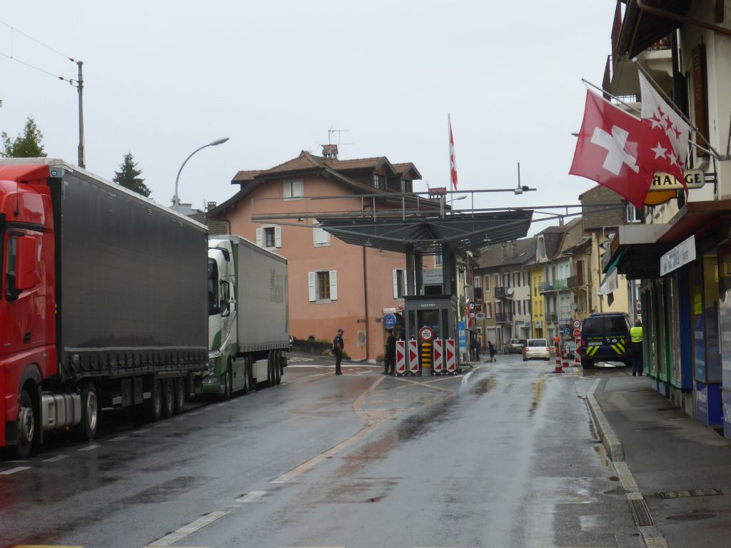
reached the border point between Switzerland and France, located directly at the lake Geneva. I was slightly nervous of this crossing, because back then it wasn’t clear for me, if France was going to close its borders due to the COVID-19 Pandemic or not. At least I wasn’t …
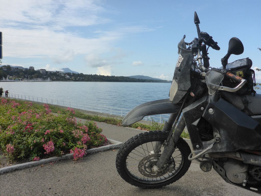
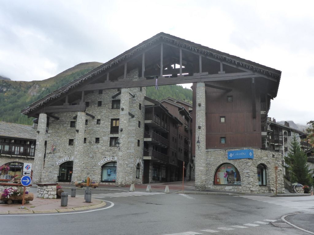
stopped during traversing this border. After following the Lake Geneva for a while Чернотa and I reached …
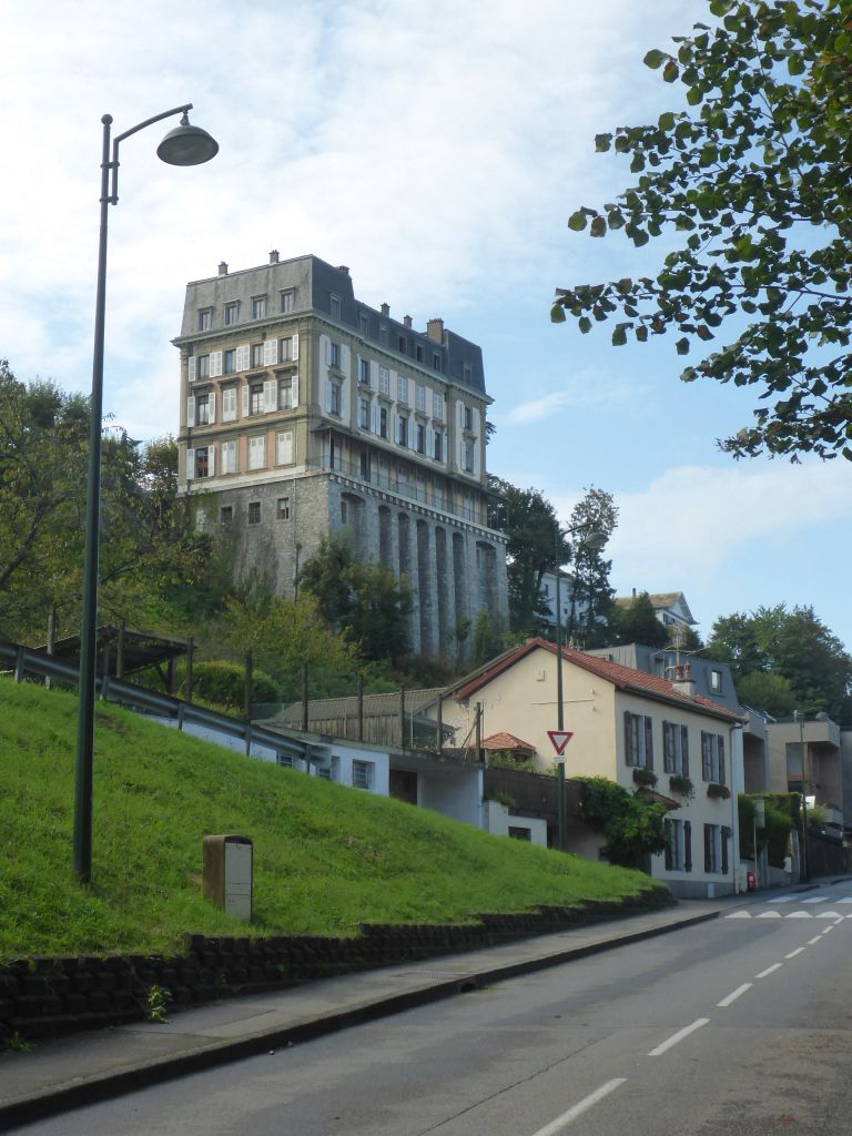
the entrance point of the Grand Tour de Alps, which equals this impressive building in the city Thonon les Bains direct at the coast of Lake Geneva. Because weather now went warm and dry, I undressed the rain gear and continued the ride. From now on our main direction was south.
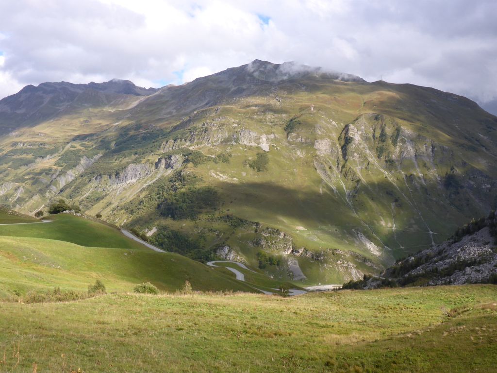
From top of one of the first little peaks along the Route des Grandes Alpes a …
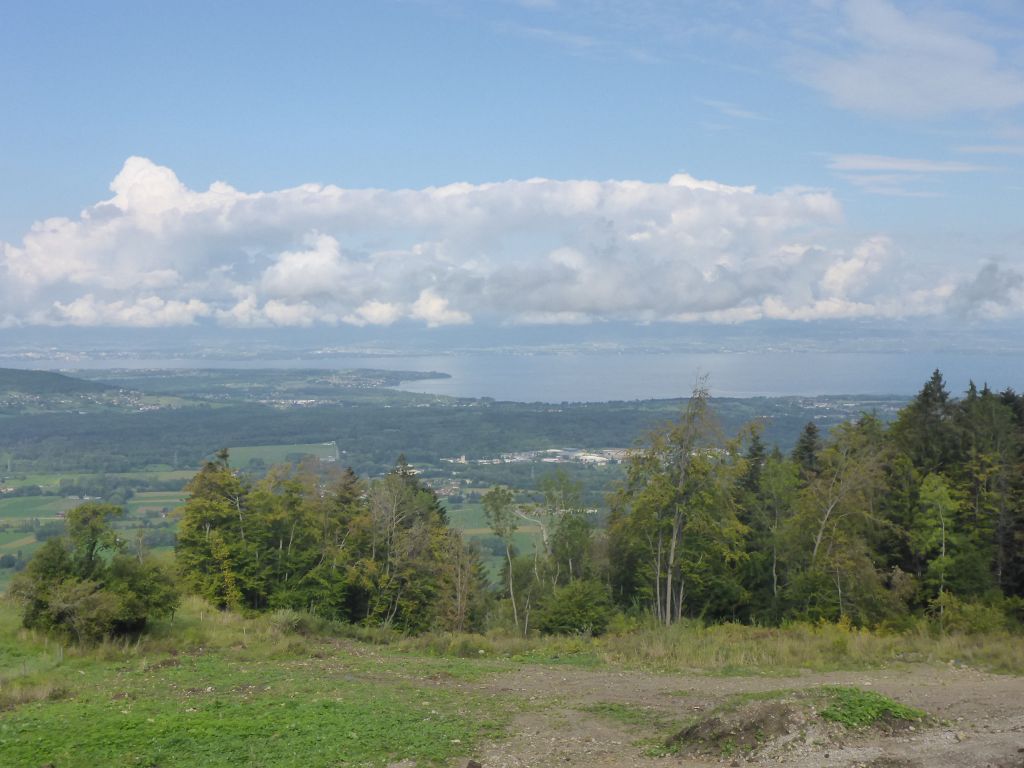
last glance was thrown back to Lake Geneva. It is like a little ocean displaying the border between France and Switzerland. Finally, the Route des Grandes Alpes …
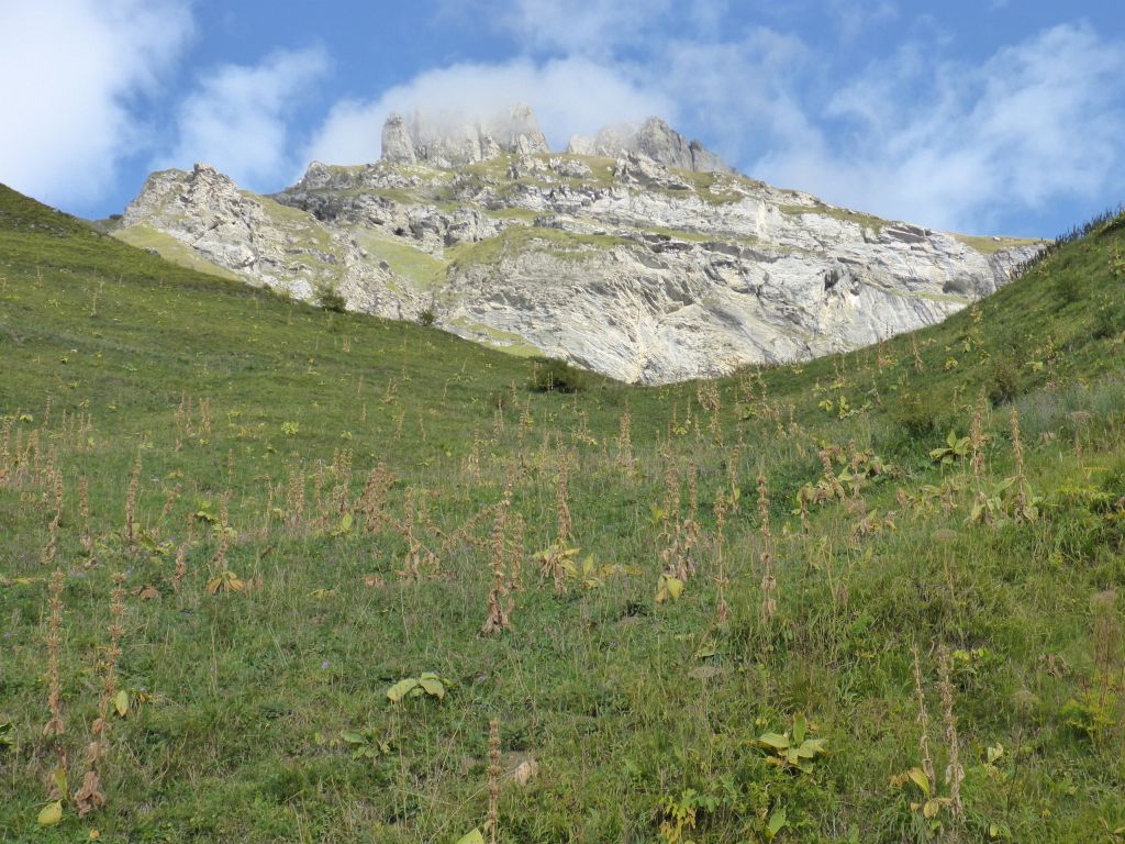
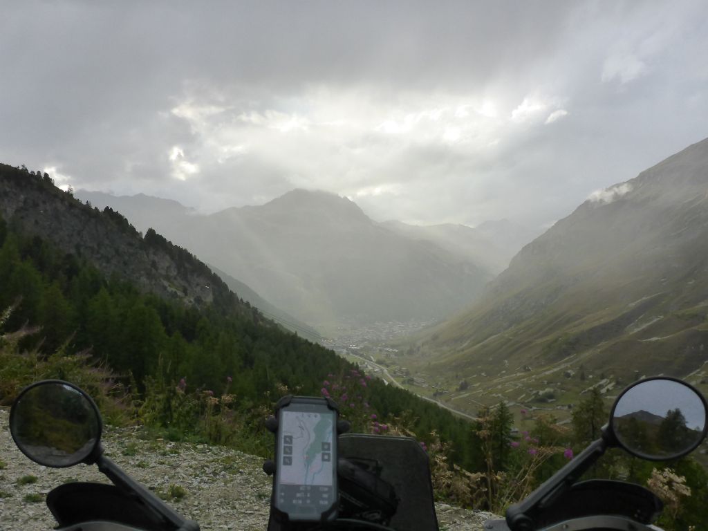
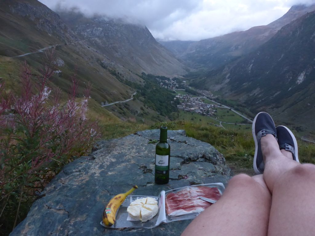
began to gain height. A glance at the clock told me that I was d’accord with my schedule. It was midday, what also meant …
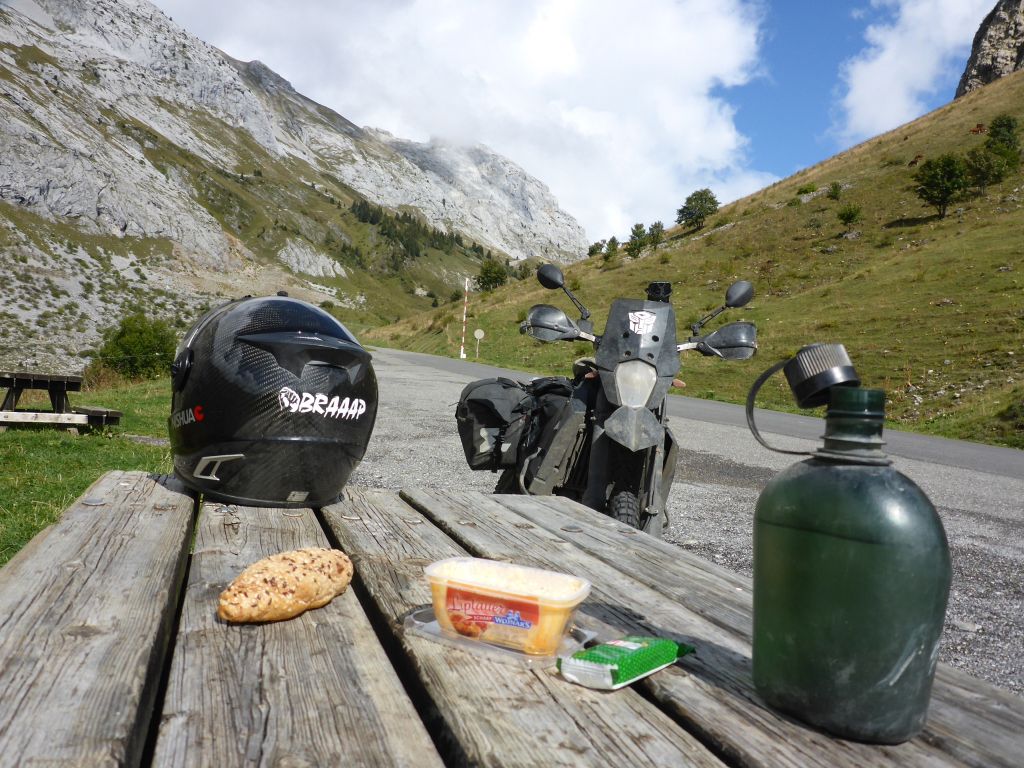
that it was time for a small lunch composed of a few leftovers from the day before. Whilst munching the chewy bread …
I enjoyed the view of this harsh rocky area. In the opposite mountain wall I recognized a tiny group of climbers fighting their way upwards the cliff face. For each his own little adventure! When lunch was over …
I continued the ride, passing by some skiing areas and …
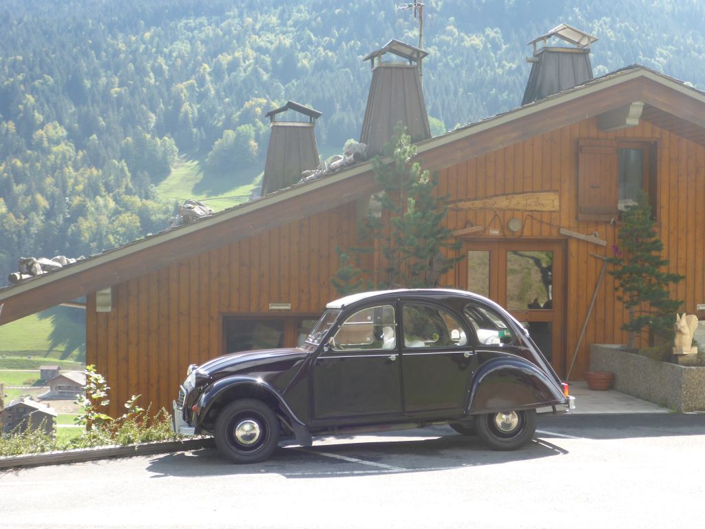
this, probably the most famous classic French car – a Citroen 2CV, whilst following …
some obvious parts of the most difficult bicycle race in the world – The Tour de France.
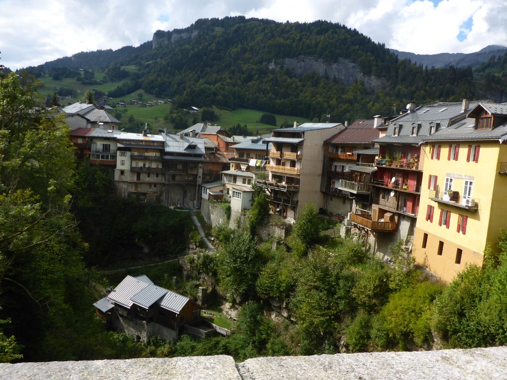
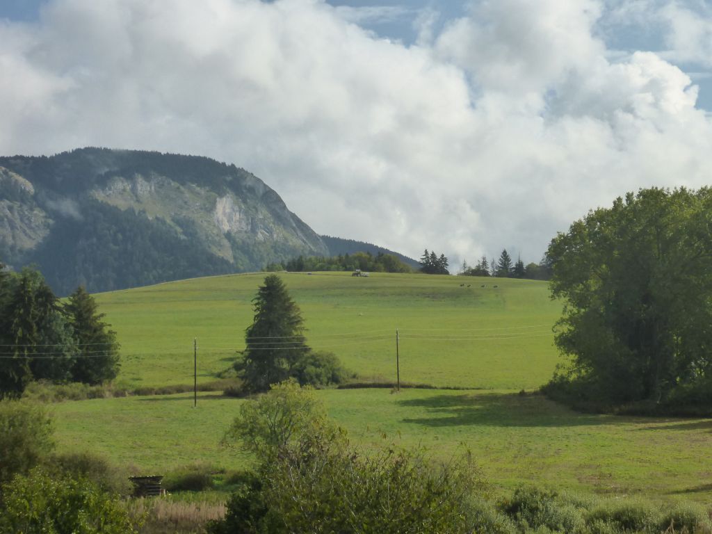
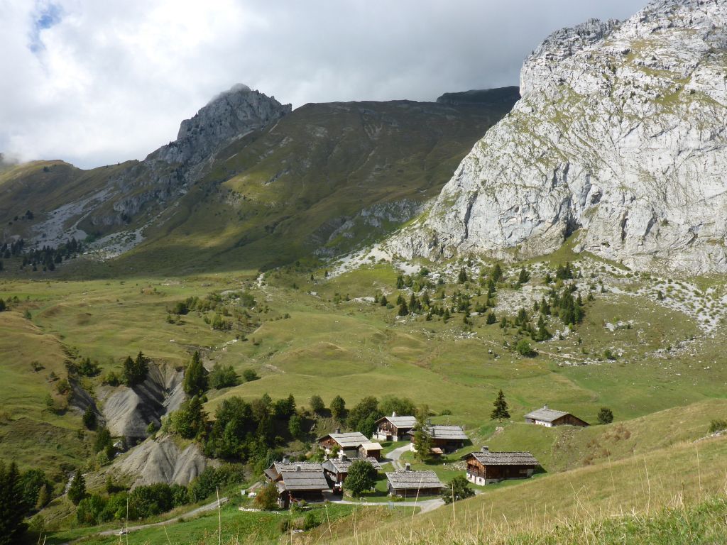
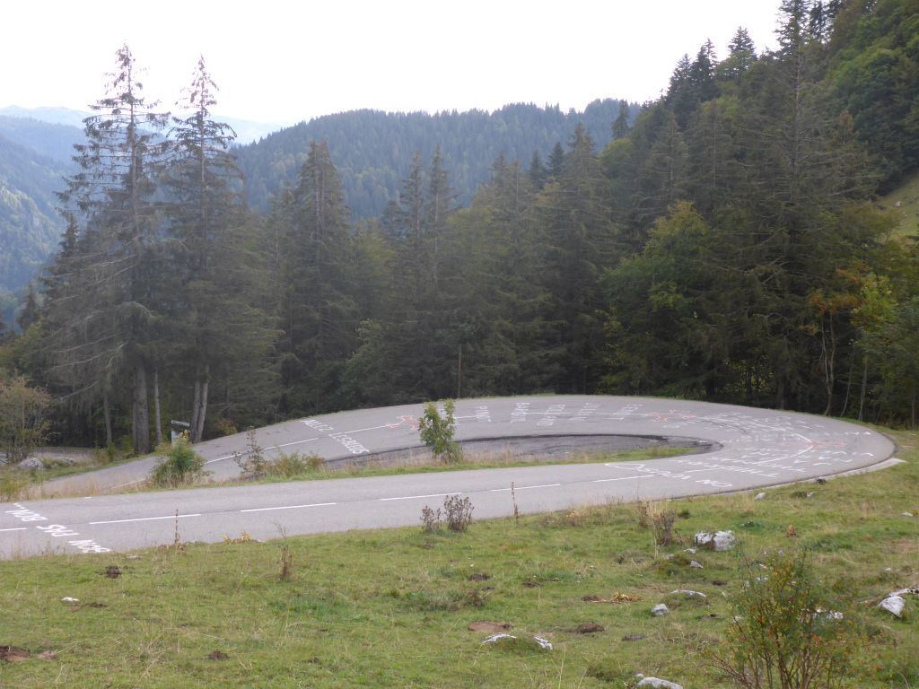
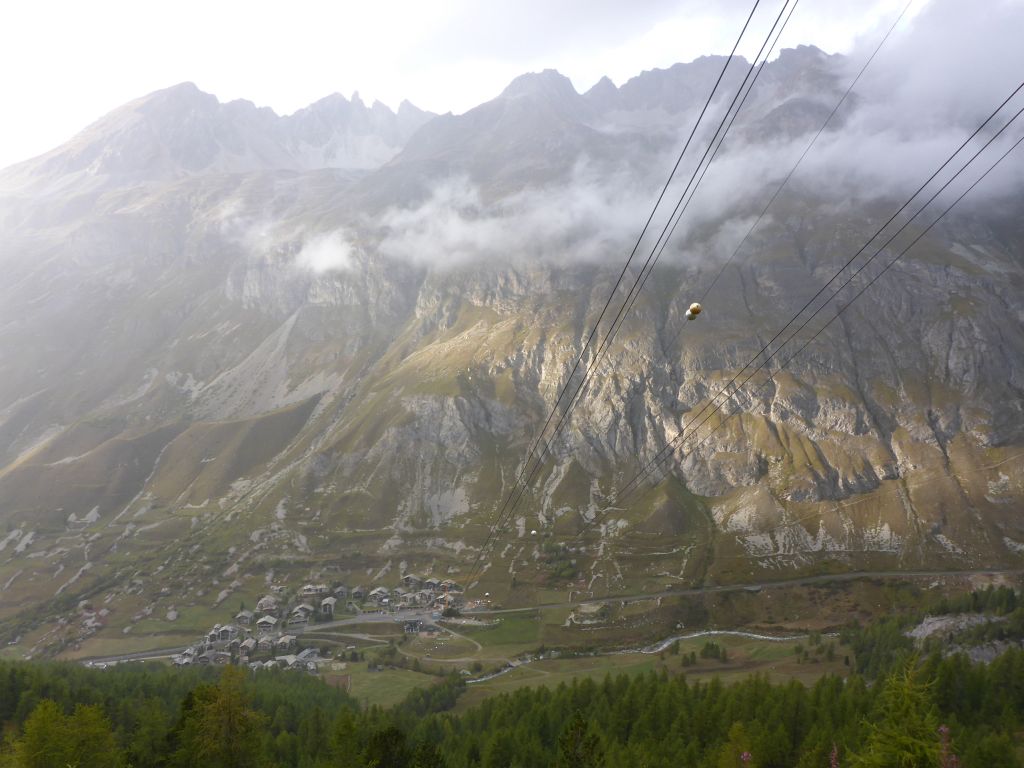
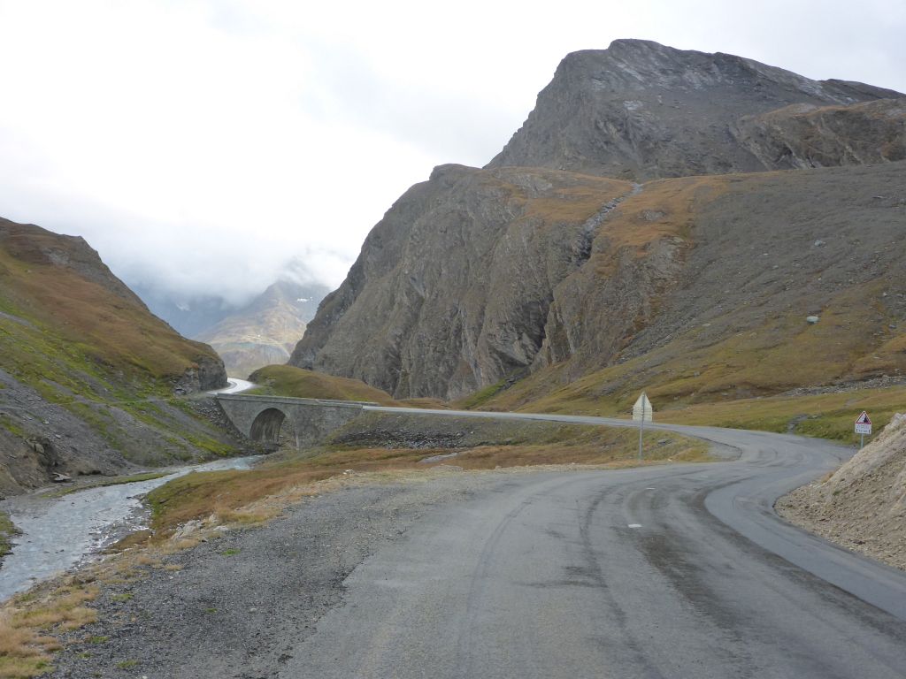
At the early afternoon the village “Flumet”was reached. Many buildings of the village where built impressively close to the edge of a deep gorge. Opposite the gorge …
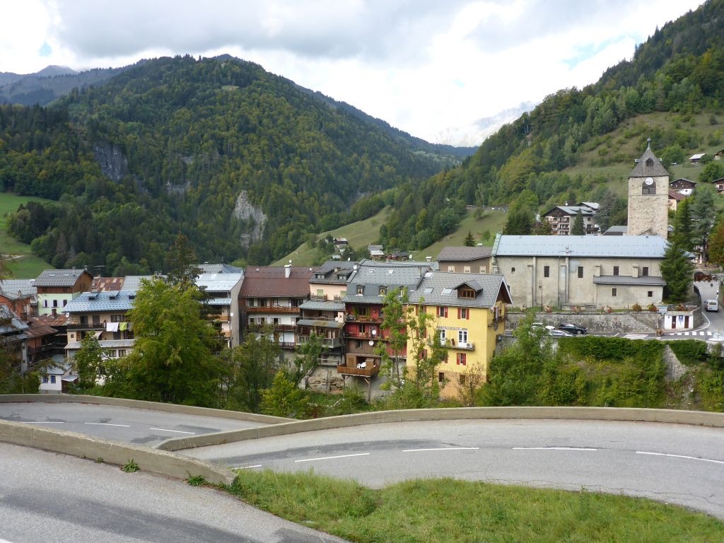
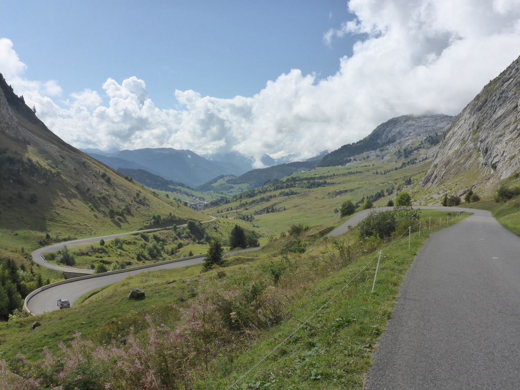
some nice’n tight serpentines led us further to a big …
tableland, which offered …
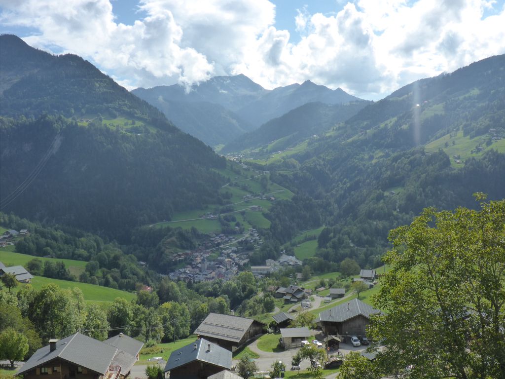
a nice panorama to the hedging mountains and valleys. When riding through France the illustration…
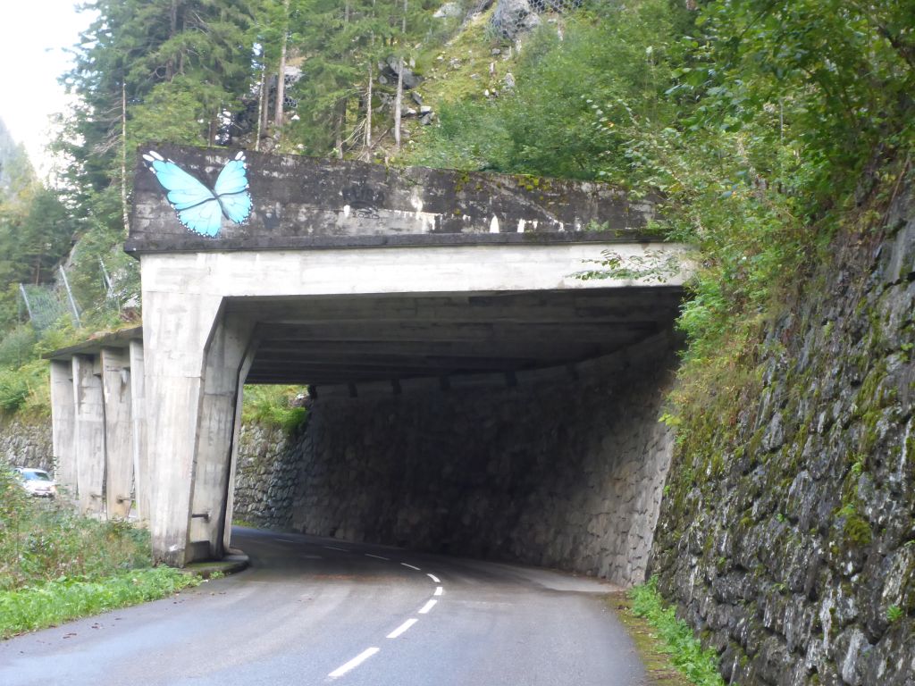
of a butterfly is an often seen thing. I was wondering about that and found out that especially in France the butterfly is a symbol for freedom. That’s because the person behind the autobiographic book “Papillion” was very popular and became a synonym for “Freedom”:
The author likewise main actor of the book nick named “Papillon” was prosecuted in his younger years for murder falsely. He was sent to a French penal colony where he made many escape attempts. A few of them worked for a short time, others didn’t. At least, after many years of wrongful and agonizing imprisonment, he got his freedom back. The mentioned book based on a true story is a very good read. Also the newer film —> “CLICK” <— is worth watching.
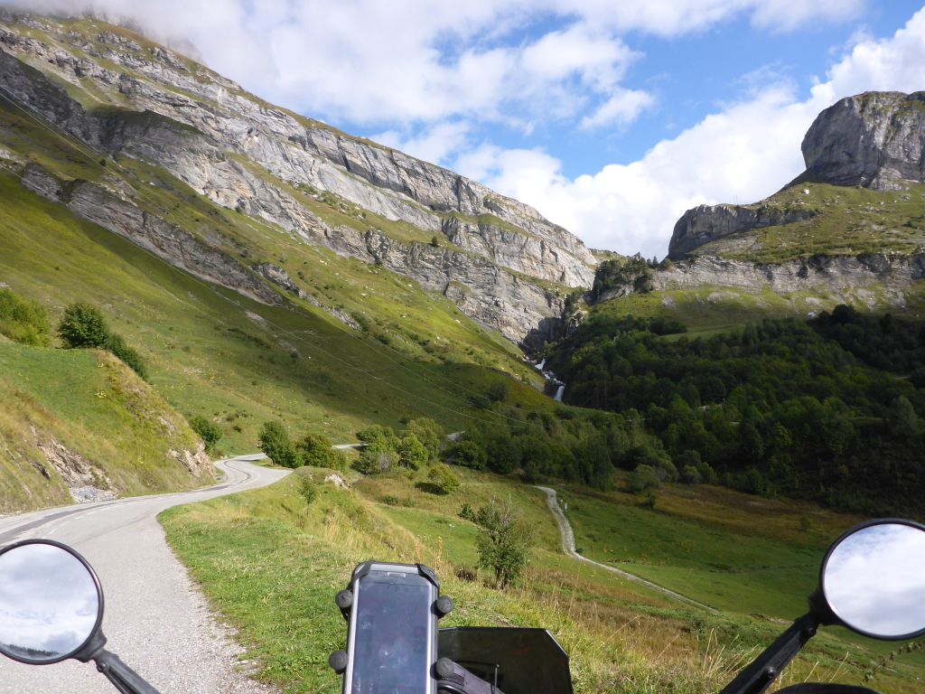
Easy, likewise a butterfly, Чернотa…
climbed the moutain road, up to Lake Roselend. On our way, …
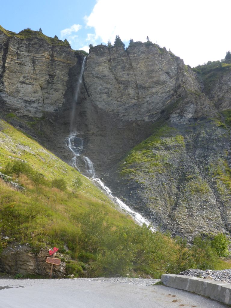
we have seen this little waterfall before we …
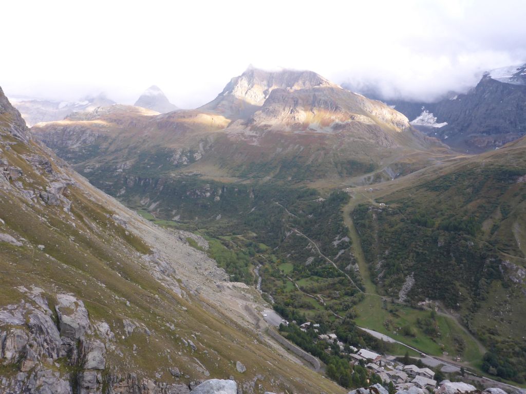
reached the impressive …
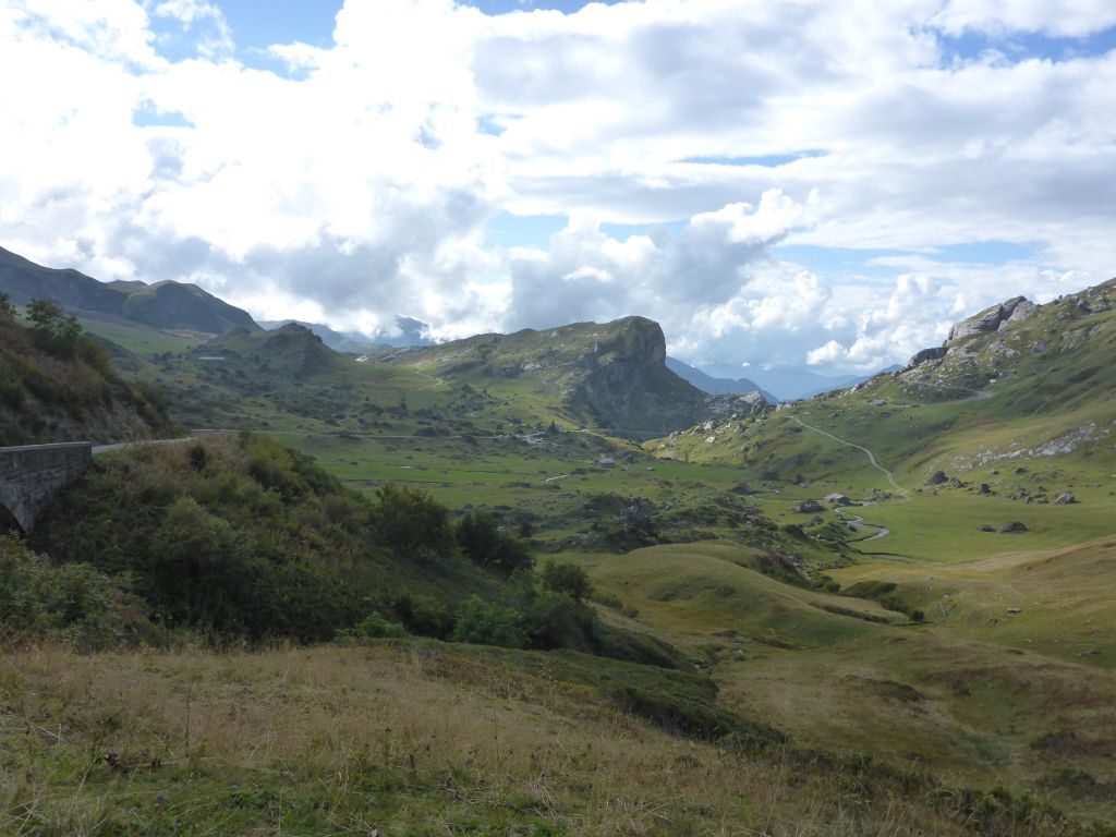
high plains of “Cormet de Roselend”. Also the …
the way back down of this huge, meadow covered plain offered some astounding views.
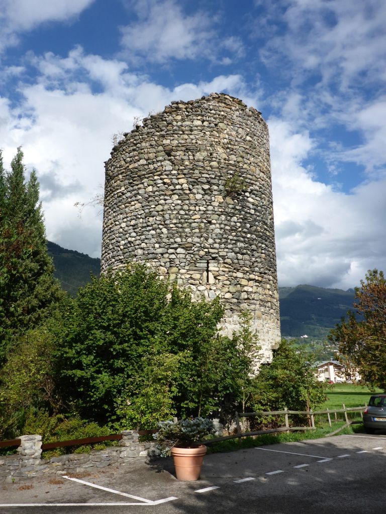
We passed an old watchtower …
and have seen some very long water-pressure-pipes leading down a mountains crest. In the afternoon I stopped in the city “Bourg Saint Maurice” for some …
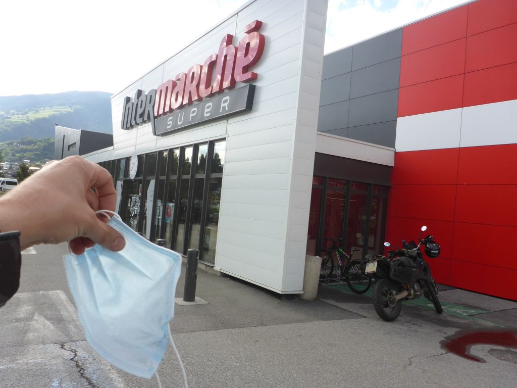
Social-Distance-Shopping. After food and beverages was bought, Чернотa and I climbed …
again higher along our planned route and reached the …
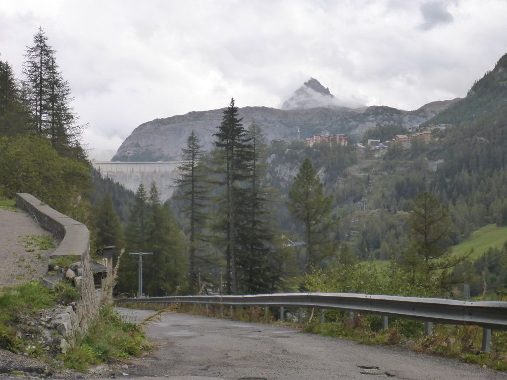
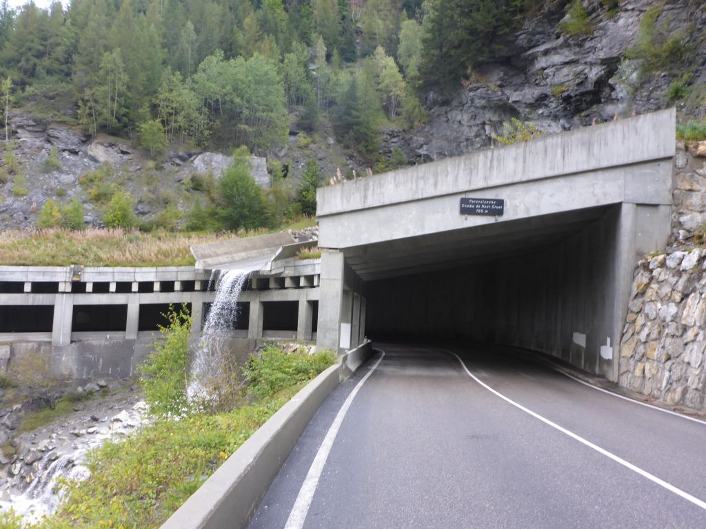
village “Les Boisses” – the little neighbor village of the famous skiing resort “Valdisere”. The village itself is located directly at the edge of the huge …
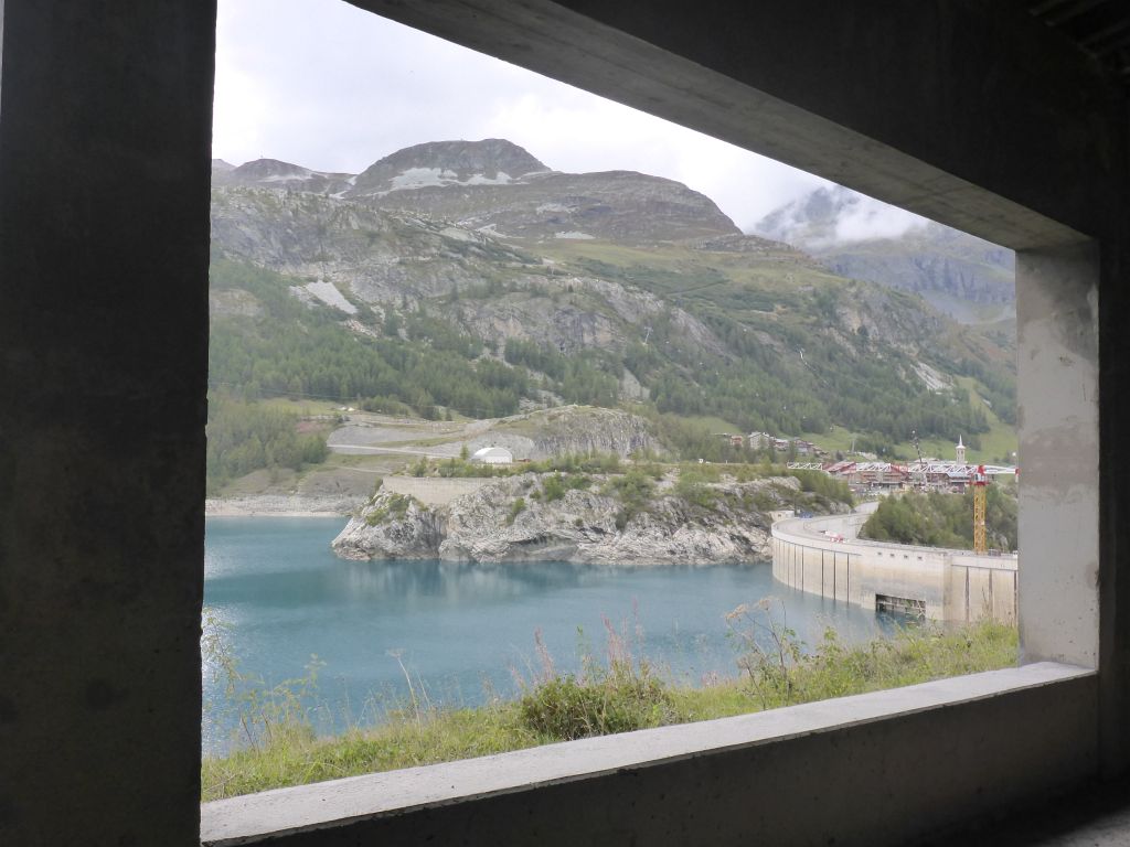
Tignes-Dam. At the entrance of a tunnel along the shore of the dam…
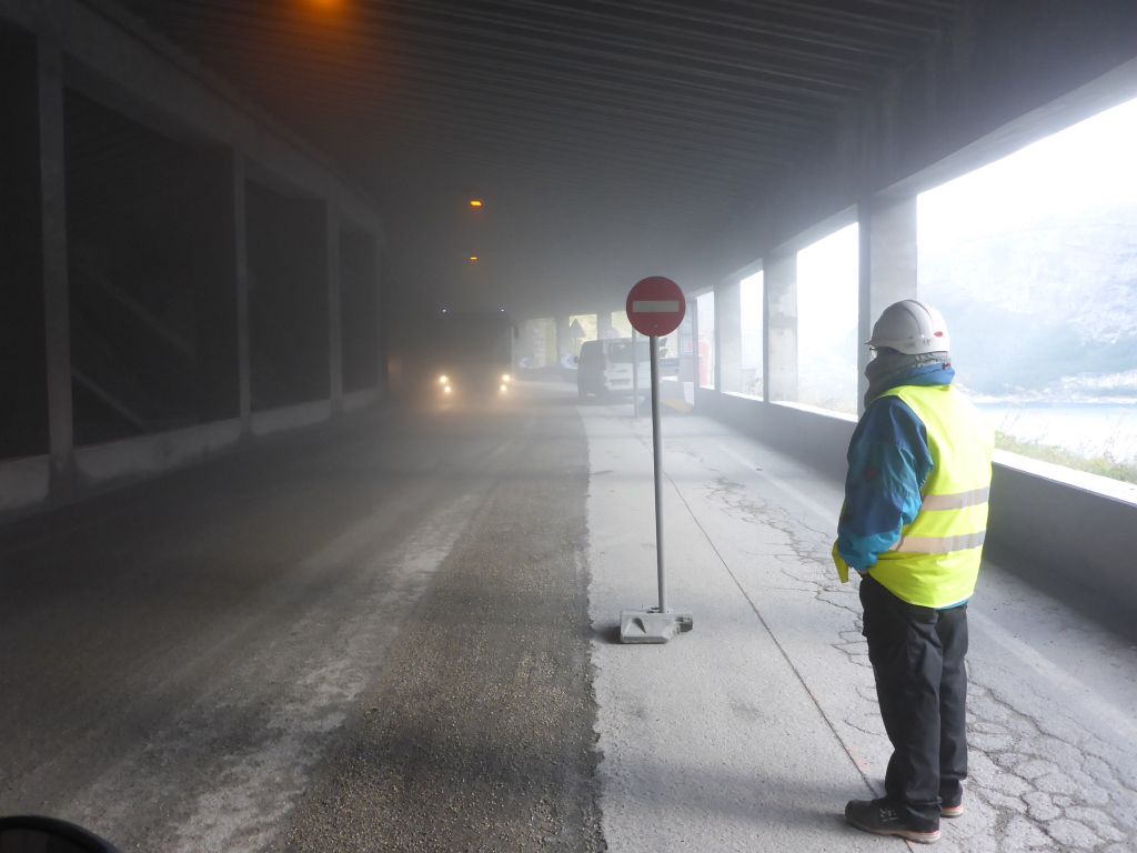
I had to wait about 25 minutes due to constructions works. The ride through the tunnel itself was quite adventurous regarding the huge amount of dust in the air. The visibility was so bad, that I was barely able to see the humps and bumps along the road work site. At least …
the center of the village “Valdisere” was reached. For me this whole place is a skiing-show-village like Kitzbühel, St. Moritz, Cortinad Ampezo, … with very less amount of historic flair. A long time ago this famous villages sold their soul for serving mass tourism. Because such places are not really my scene, …
Чернотa and I went on and climbed further upwards. Four years ago my black beauty and I have already have ridden these streets in the opposite direction. Back then, down there, along the visible straight I had very close call: I did about 60mph or 100km/h when a suicidal groundhog got it managed to jump with full speed diret in front of my ride. Somehow I got it managed to avoid a crash. Luckily neither us nor the groundhog was hurt.
We did a last glance back to Val d’Isere and continued the climb up to the top of famous “Col del lseran”. Whilst doing this I wondered myself …
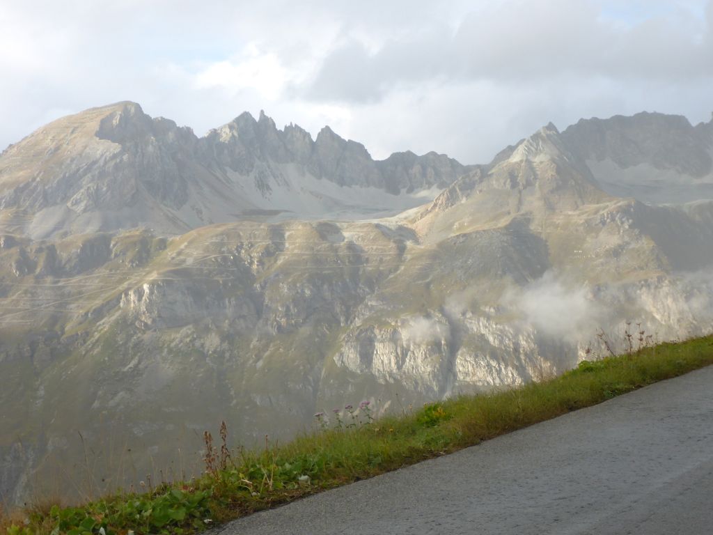
what that the lines on the opposite mountains are. Now, during writing this report, I had a look at the satellite footage, which showed me that it’s probably some kind of supporting roads for building some avalanche protecting fences. But I’m still not sure about that.
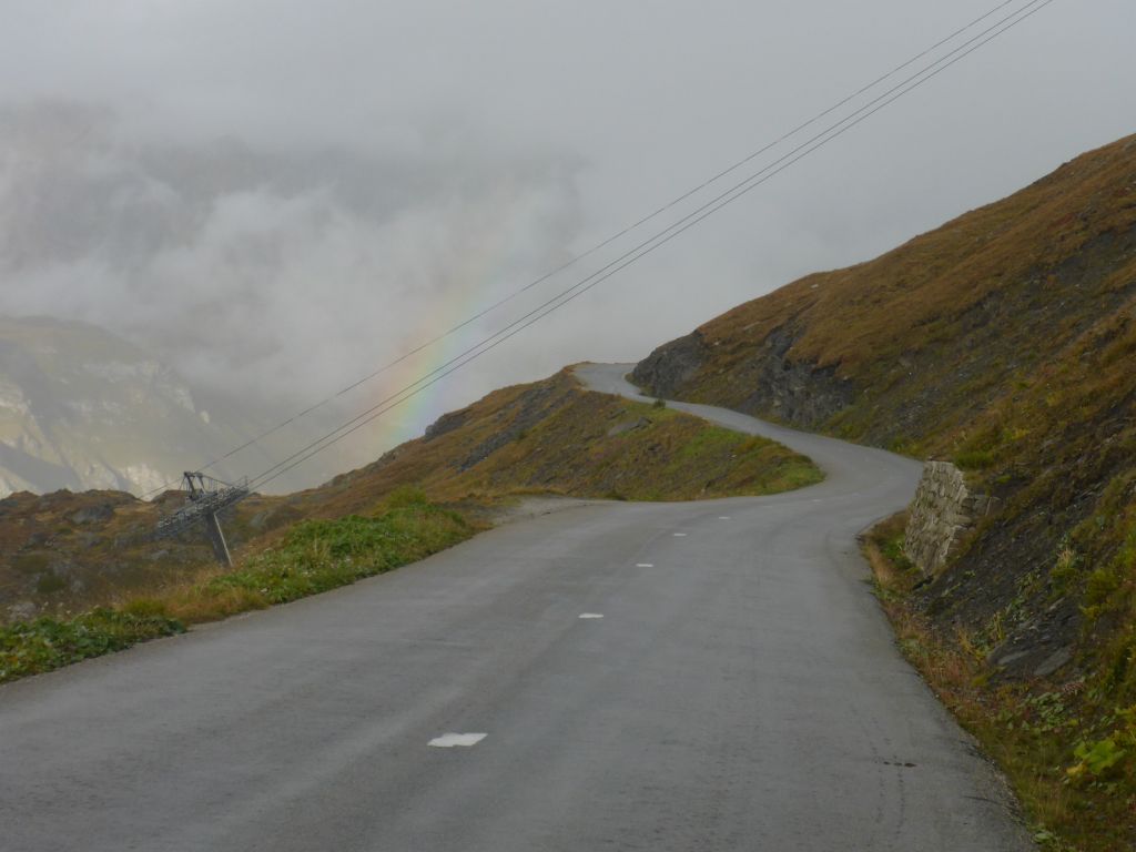
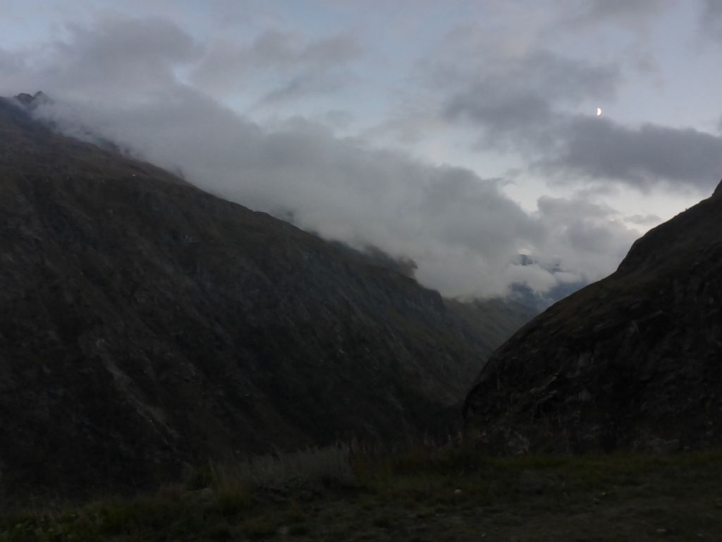
A rainbow later …
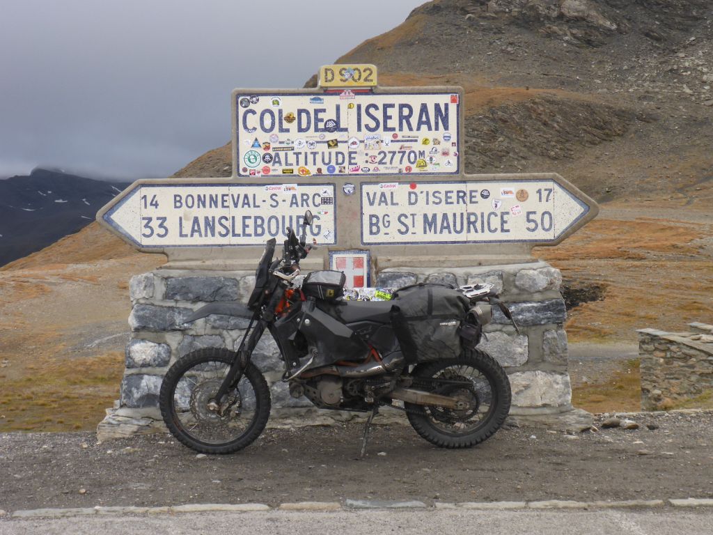
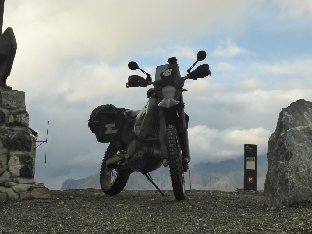
Чернотa and I finally reached the “famous” Col del Iserean” which is the highest paved pass height in the European alps. Because of that it’s also kind of a pilgrimage destination for motorcyclist. But let me tell you: There are plenty of more beautiful and also higher places in the alps which are rideable with a dual sport motorcycle. On the pass plateau …
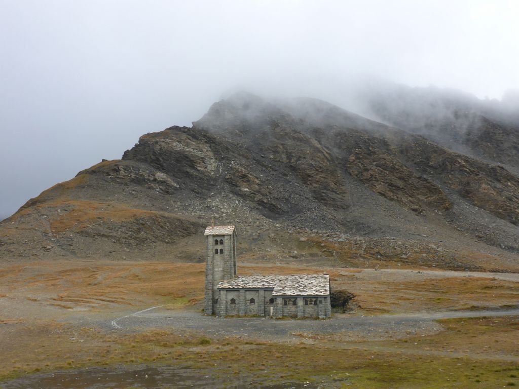
is a nice stone chapel and also a …
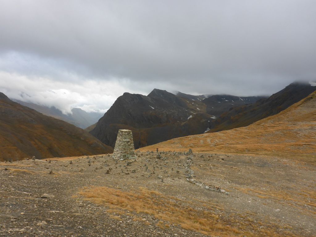
peak-sign with plenty of tourist made stone piles around it located. In summer this location is totally over-crowded. Now in late autumn I was the only person up here and there was no other noise than my footsteps and Чернотas crackling hot manifold. That was so unreal that it made me feel forlorn for a short moment.
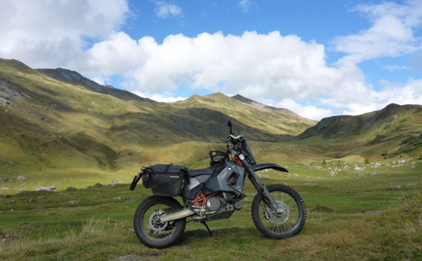
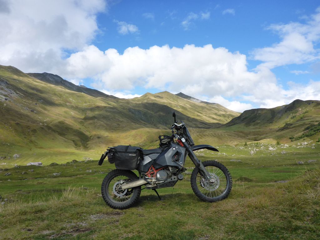
I took the chances for making This shot of Чернотa, having the uppermost legal rideable tarmac road of the European alps under its wheels. Then …
we started to descend, into the direction …
of the village “Tralenta”, which lies at the feet of the south ramp from “Col del Iseran”. Because it was late already afternoon, I had a look to the maps and found just atop this village …
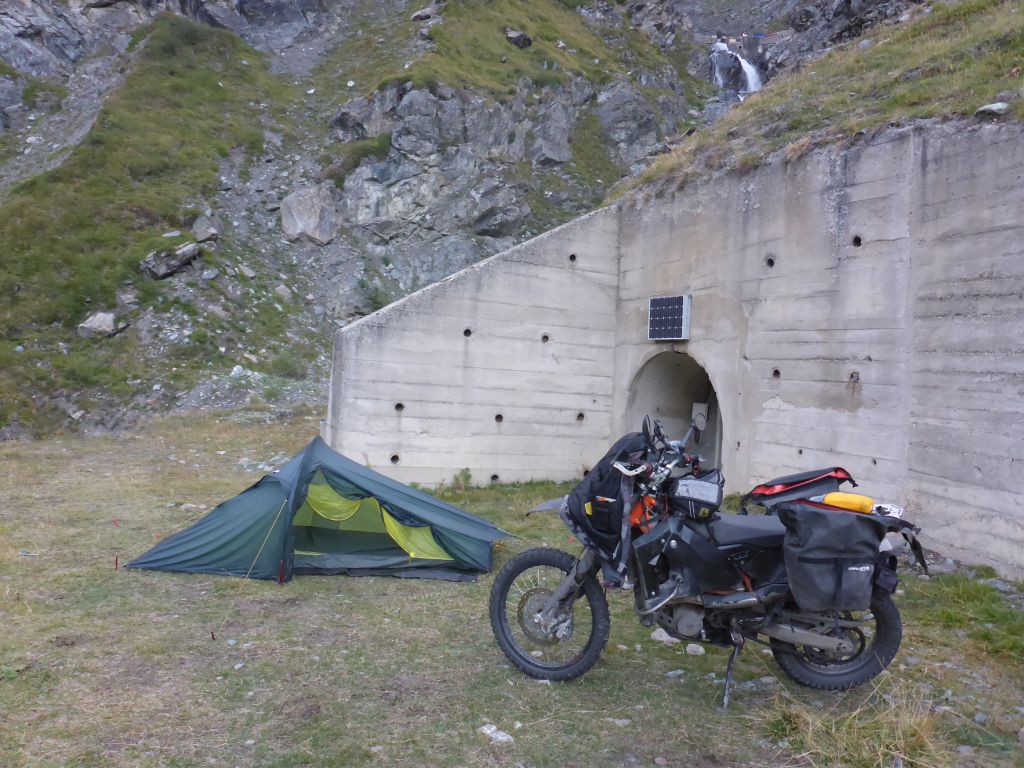
a nice leveled place for a shelter ….
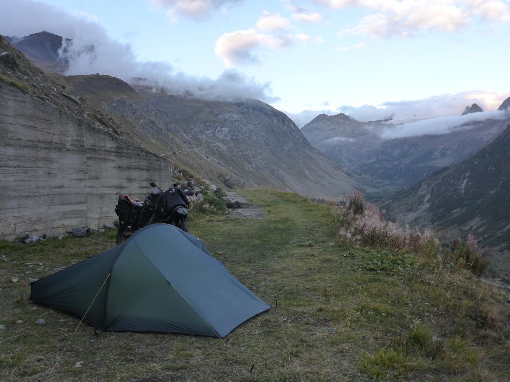
right at the entrance to, …
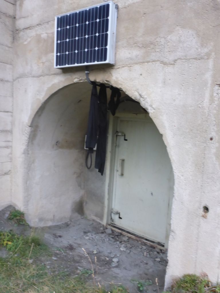
a mine- or maybe a maintenance tunnel. I used the energy line, mounted at the closed tunnel entrance, for ventilating my riding underwear during the night. Daylight was fading fast in this narrow alpine valleys, so it was time …
for a dinner with a view.
Moon rose fast and when the ….
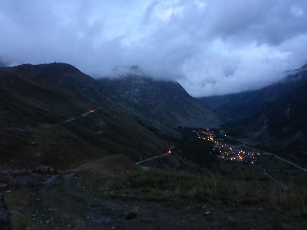
street lights in the village Tralenta were activated, it was tent time. The weather forecast told me, that I was still in time. Holding this travel speed will keep us ahead of the forecasted snow at the second half of the next riding day. 💪
Total travel distance this day: 402 km or 250 mi.
Interested in my doings? Than feel free to join my social media channels for further updates! ➡