ROUTE DES GRANDES ALPES
(Part 2)
During the htird night the temperatures decreased sensitively, surely close to the freezing mark. I woke up around 02:00 in the morning due to a soft breeze of ice-cold wind caressing the sheet of the tent. I went out for a pee and had a look at the impressive clear starlit sky surrounded from the high mountains of the alps. Whilst watching the clearly visible Milky Way, I started shivering. No wonder just wearing underwear and wool socks. Hence, I put on an additional layer and went back into the sleeping bag, which was now operating at its comfort zone limit. I fell asleep again quickly …
*squeak* *squeak* *squeeeeaaak* – noises appeared when I put on the ice-cold/stiff riding boots in the morning. I was surprised …
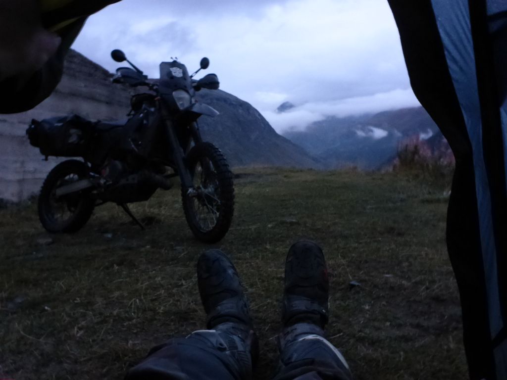
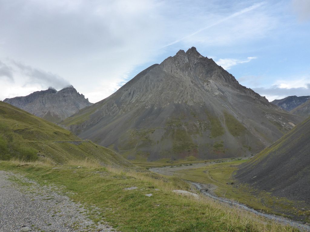
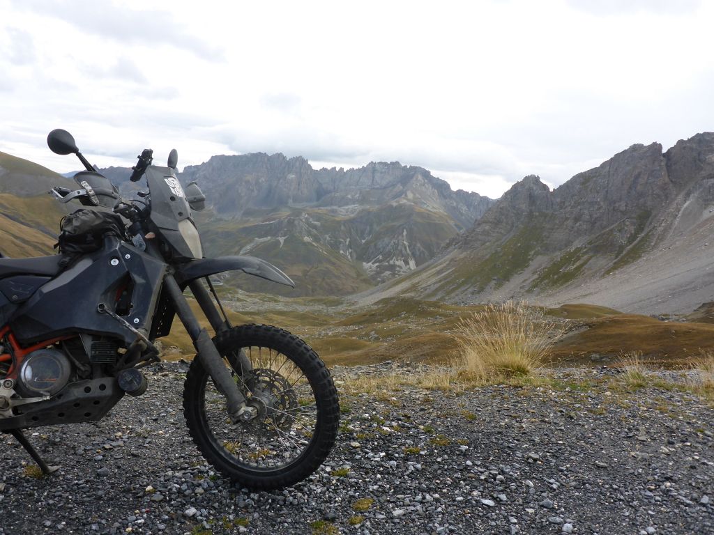
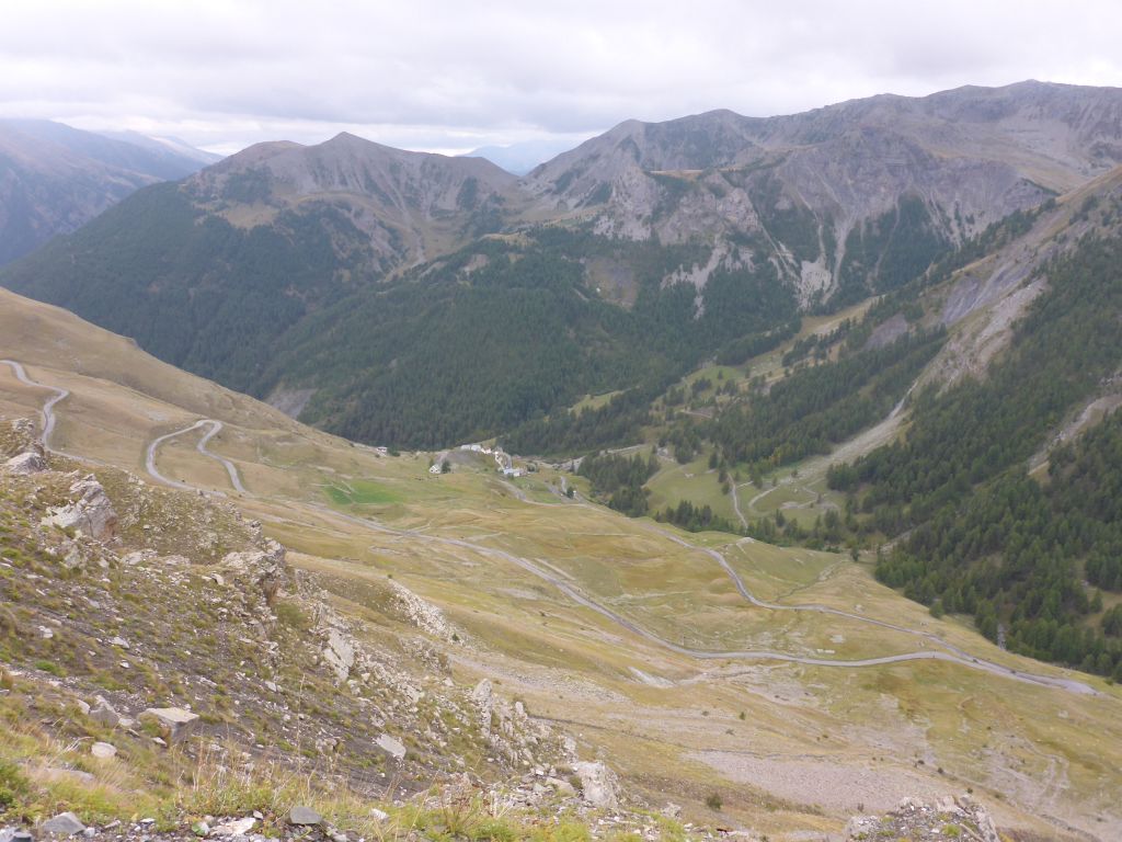
when I watched out of the tent. The clear night sky vanished and again some fog clouds were wandering through the mountains. For a short moment I was wondering myself if my memory of the star lit sky was just a dream experienced during the last night. But my additional clothes lying aside me in the tent proved the opposite. The temperature at the camp spot at the height of about 2000 m or 6600 ft was surely just a snatch above the point of freezing. Therefore, the first thing what I did, when I was geared up with all the cold riding gear was, to make twenty knee bends and twenty shoulder/arm rotations for heating up myself. Then I packed all my belongings …
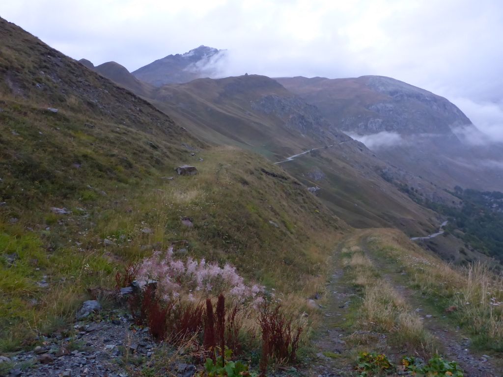
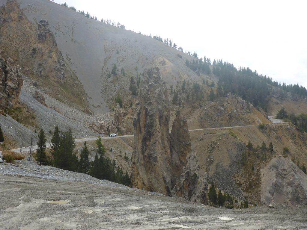
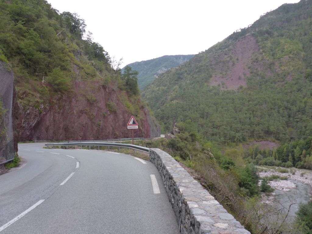
and left this dead end gravel track on the feet of Col del Iseran. Our first miles of this day brought Чернотa and me to the village …
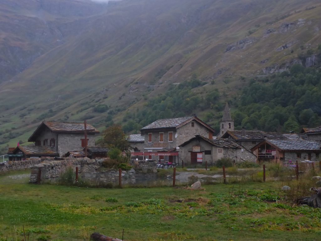
Boneval Sur Arc and …
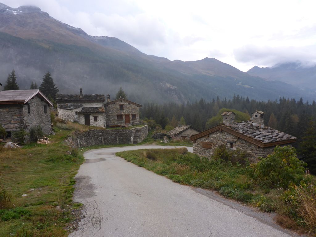
Le Collet. Both villages are well known for their impressive stone made buildings. Especially the stone made roofs are worth a closer look! Along …
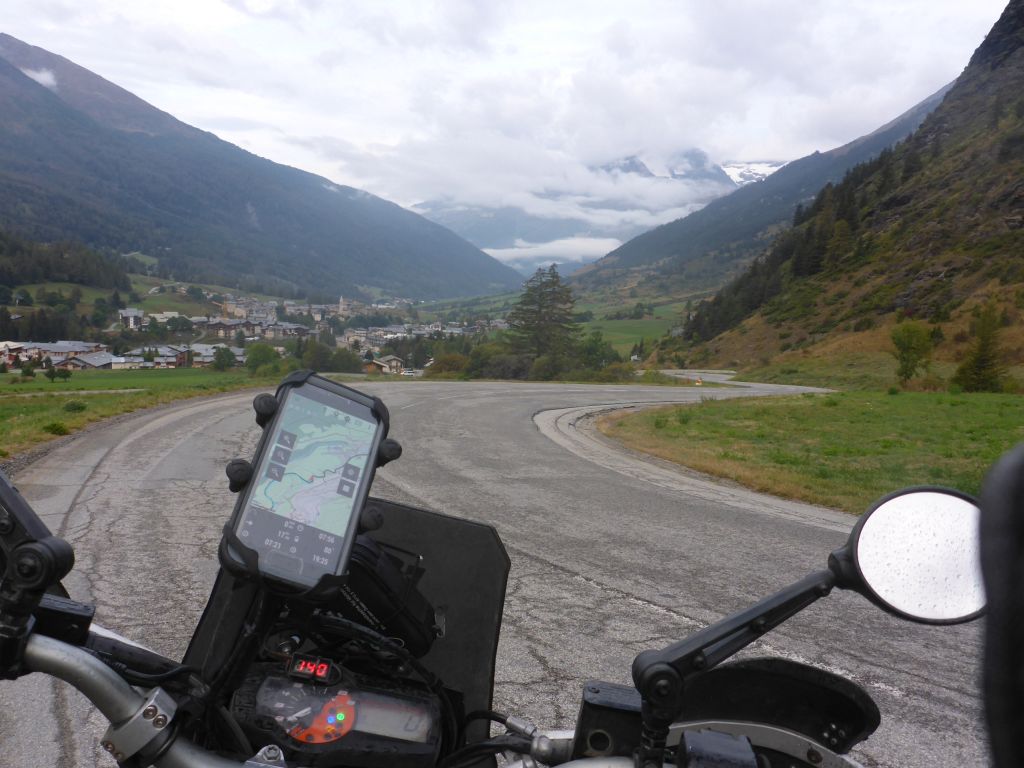
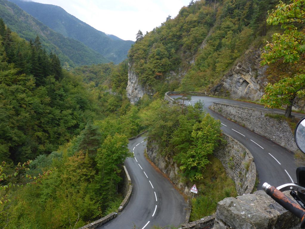
winding bends Чернотa and I fought us forward through the alps …
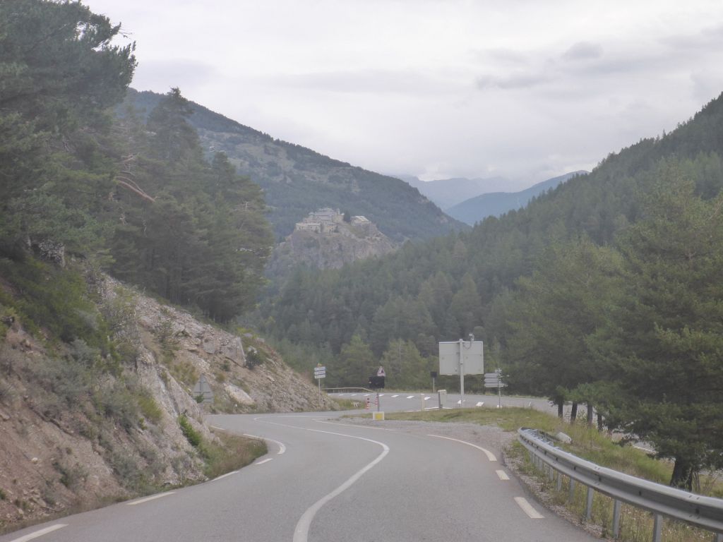
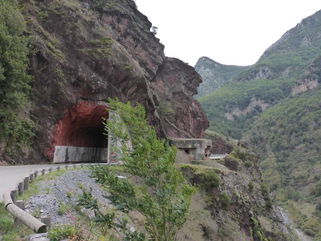
like the Carthaginian Conqueror Hannibal. We passed …
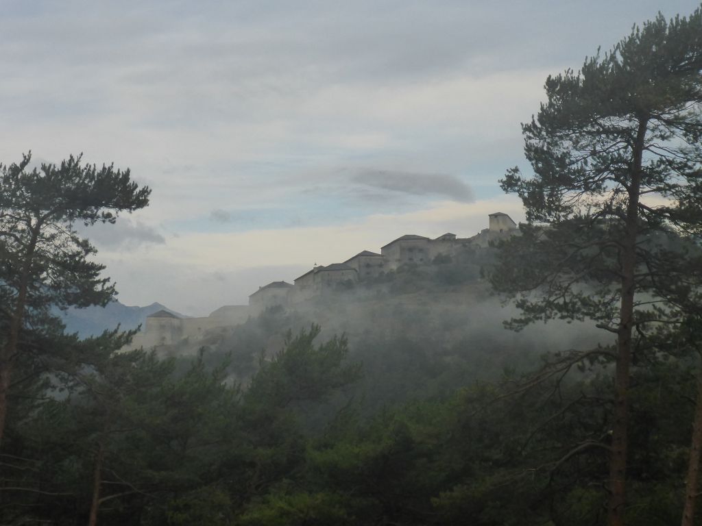
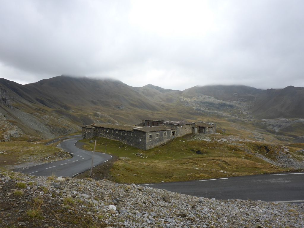
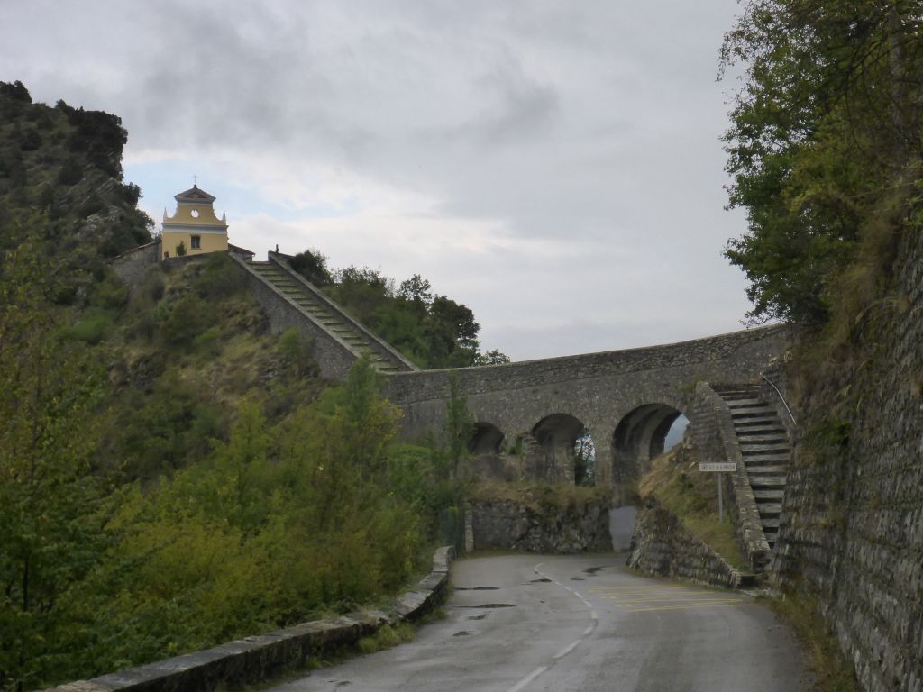
this impressive building on the opposite site of a gorge. It turned out, that this building is …
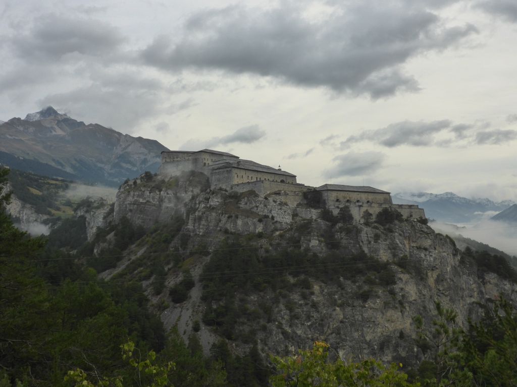
a former fortress of the Sardinian Kingdom. A very impressive building which surely took a huge amount of manpower to get erected.
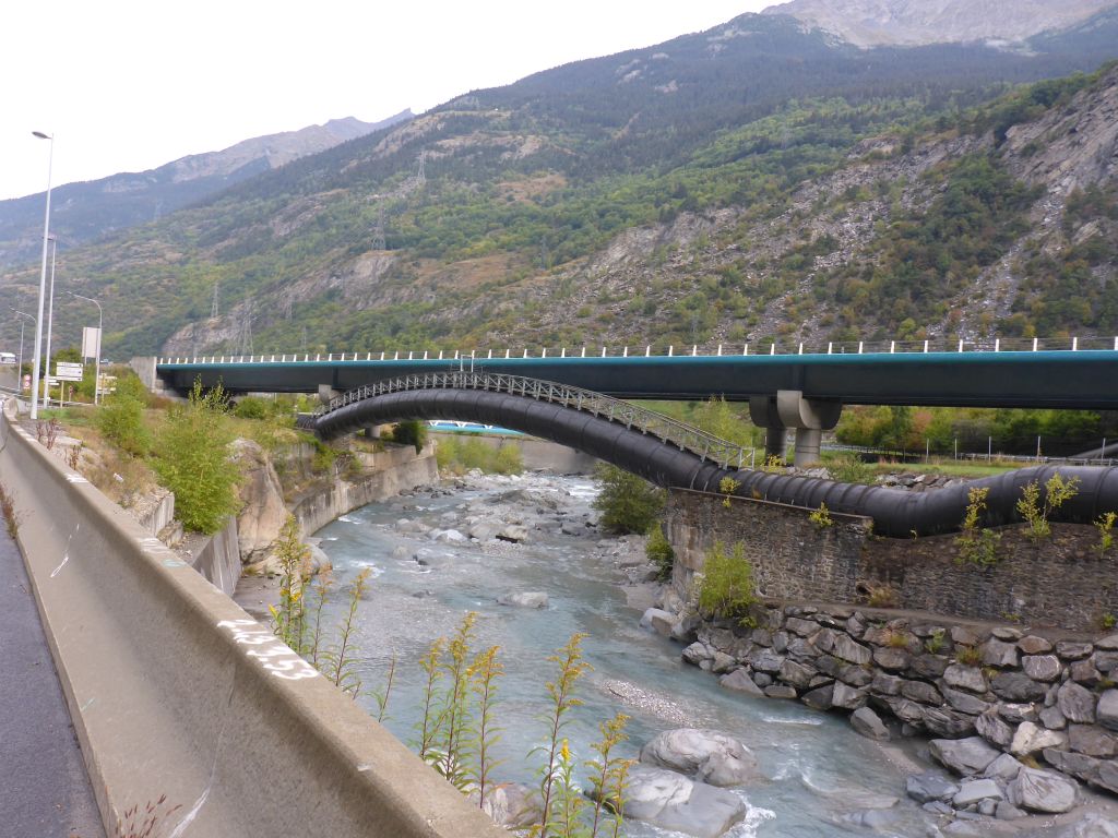
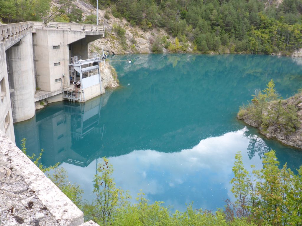
*pressurepipe and motoway*
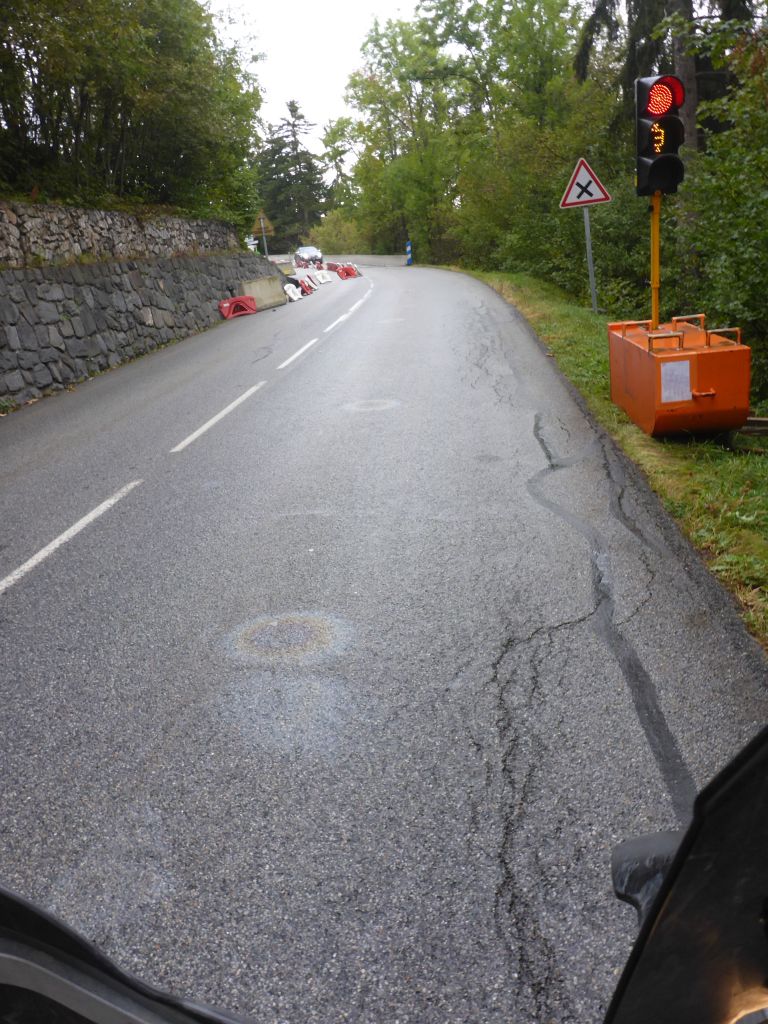
Waiting at a traffic light I recognized, that someone in front of me obviously lost oil. During the next 30 Minutes of riding this glitchy oil stains accompanied us, what was very annoying because riding a proper line through the bends wasn’t possible due to the stains.
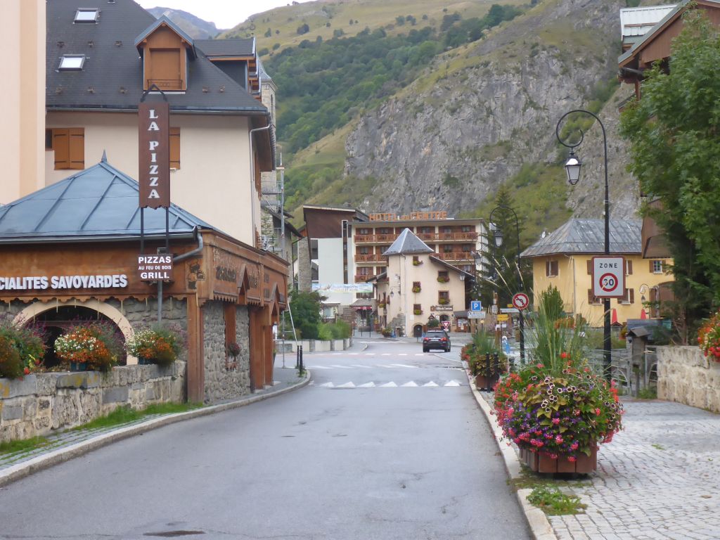
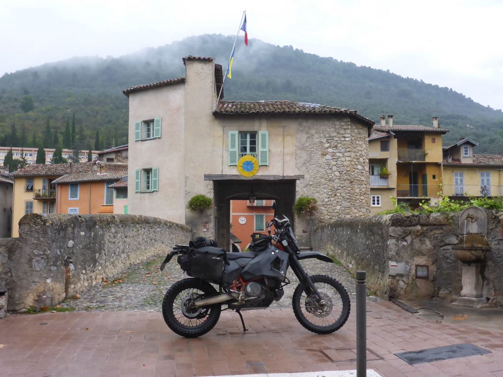
At the edge of another one out of thousand winter sport villages we found this beautiful …
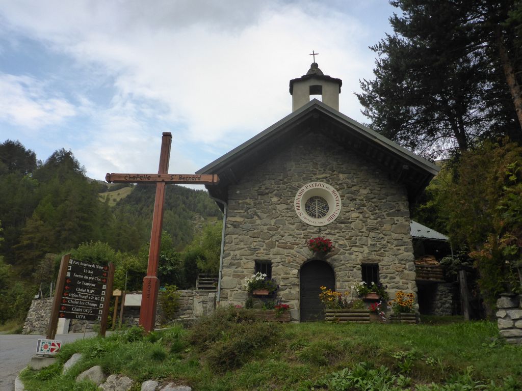
stone chapel aside the road. Just a few meters onwards …
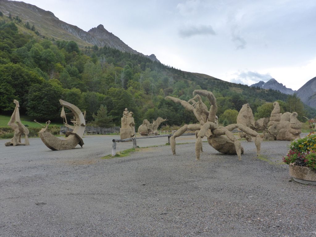
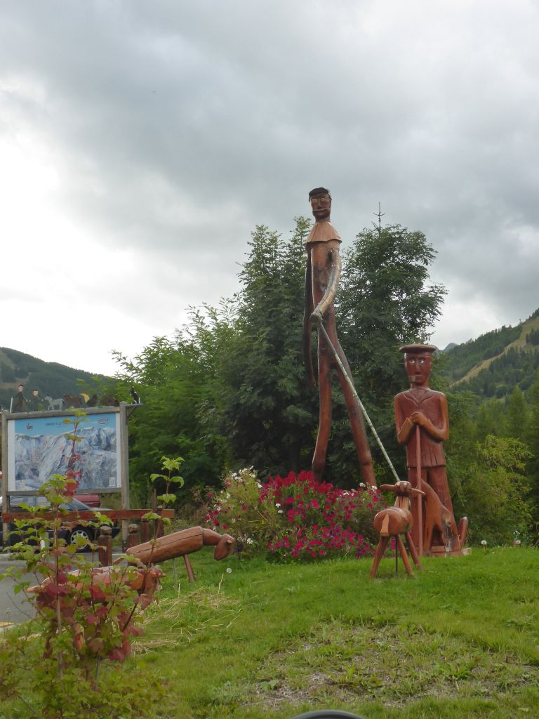
this hay-figure-exhibition was seen. I made my first stop this day and strolled a bit around. With fresh mowed hay, some steel wire and wooden sticks local artists formed this …
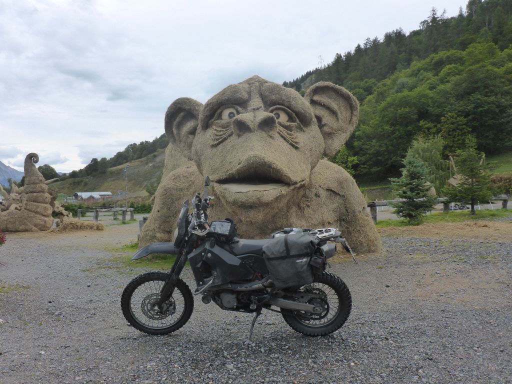
sightly figures. *thumpsup*
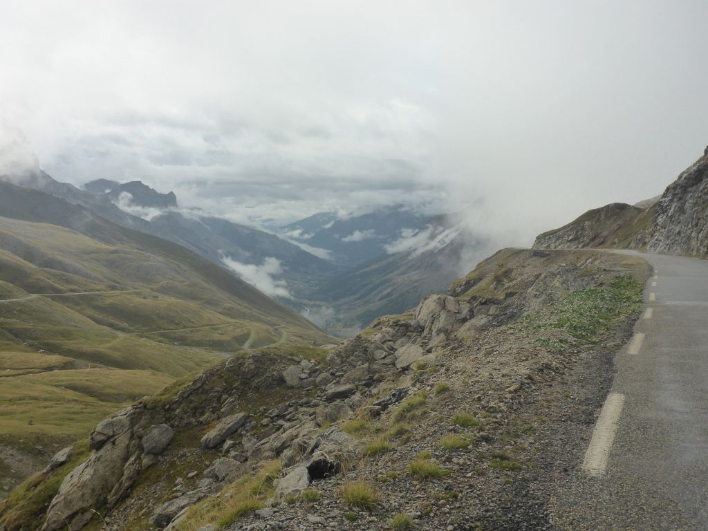
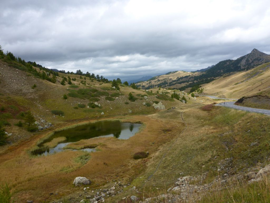
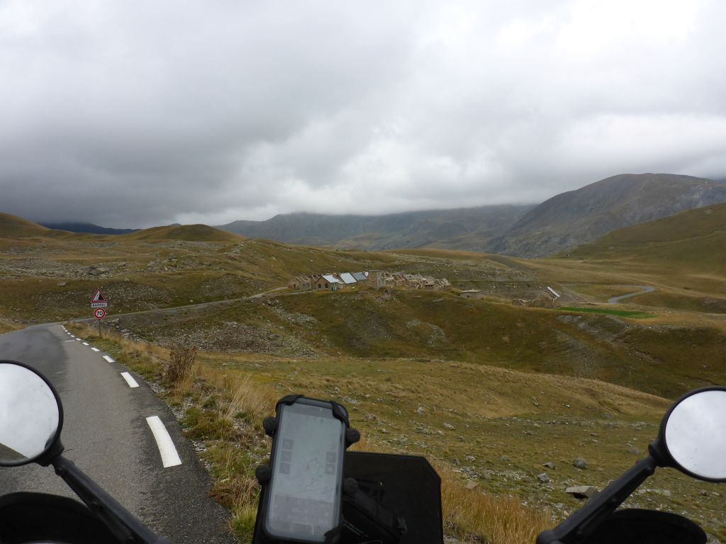
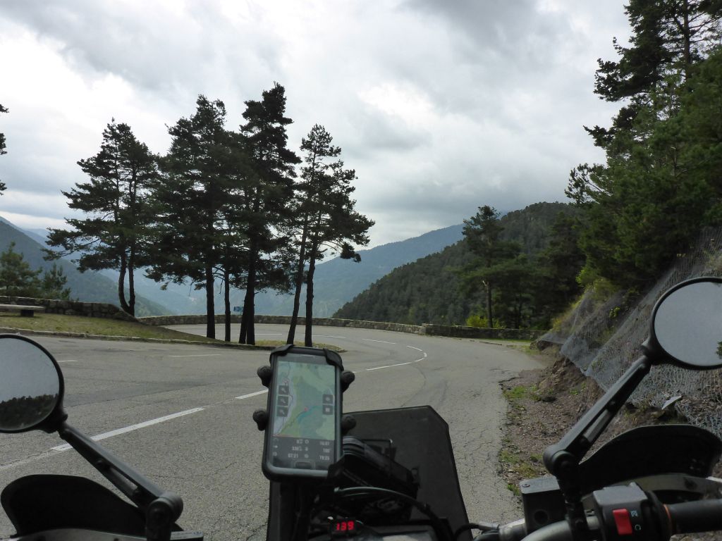
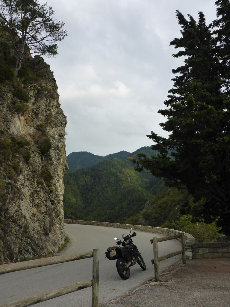
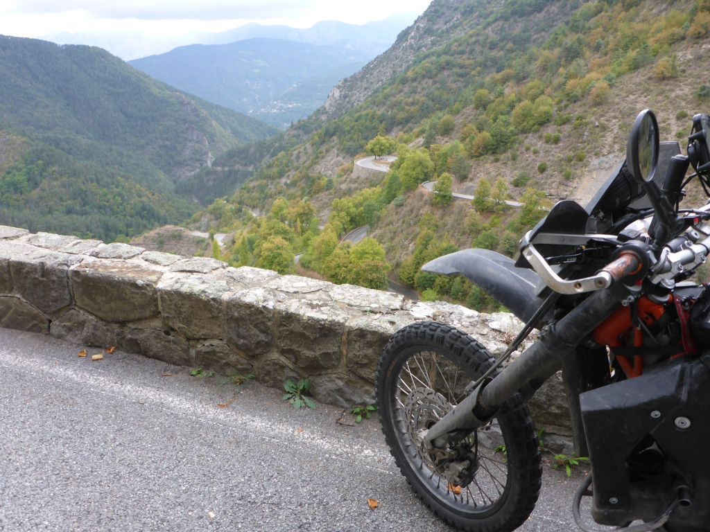
Riding along this high alpine area in late September is kind of …
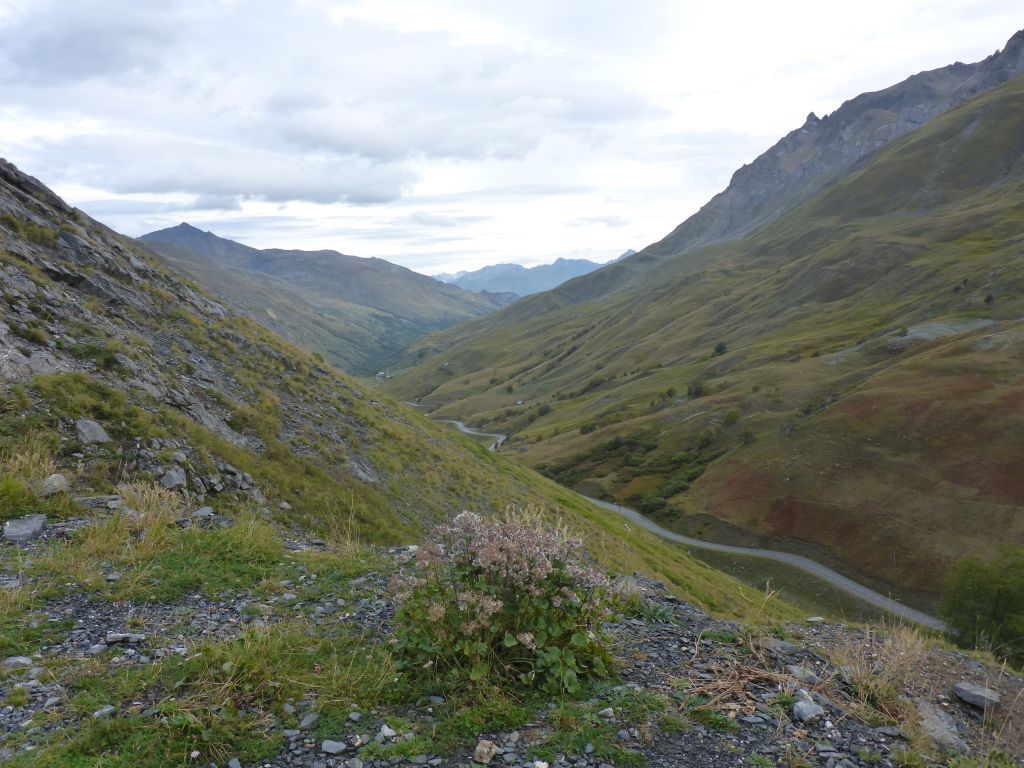
eerie. Often …
Чернотa and I were the only ones on the roads. Also, the alpine …
pastures have been blocked already due to up for incoming winter, and so no single cow or sheep was seen, what is very uncommon for this area.
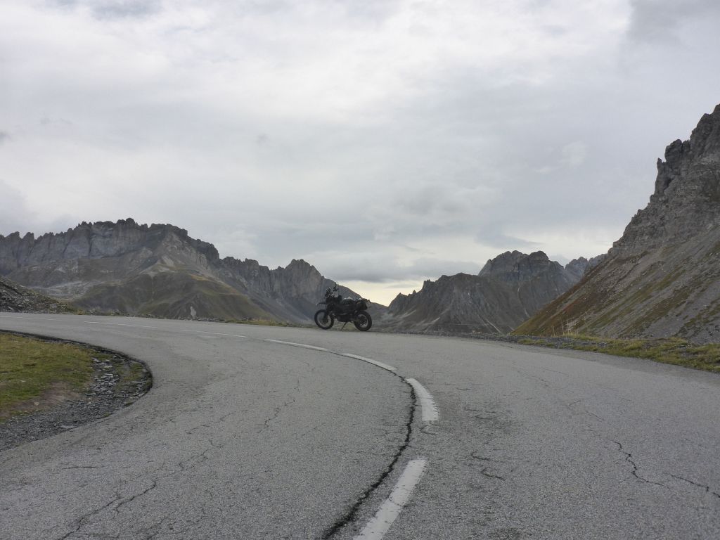
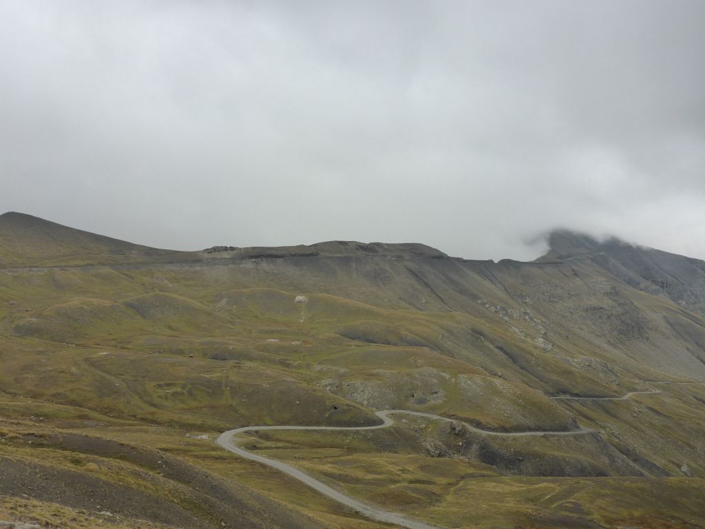
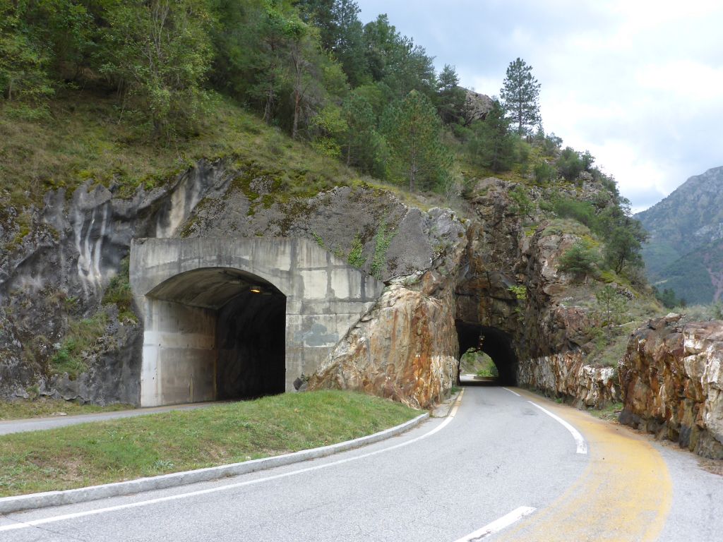
Чернотa and I rode upwards to the top of Col du Galibier, another famous pass road along the Grandes Tour des Alpes.
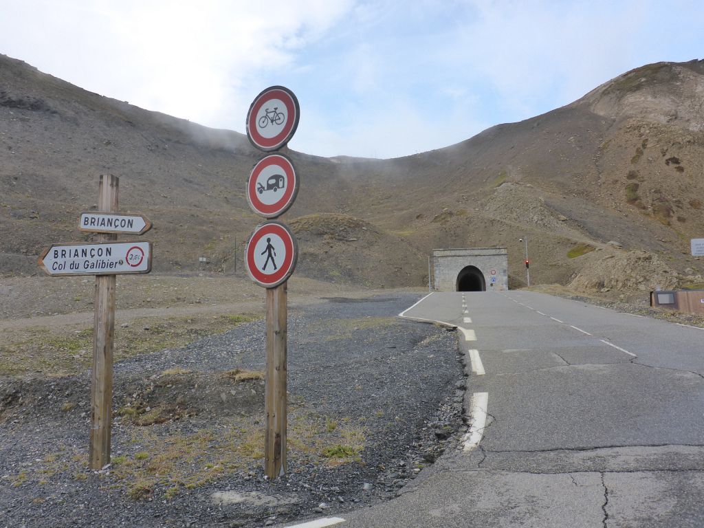
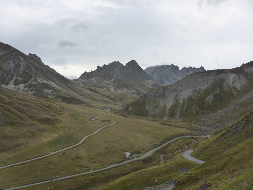
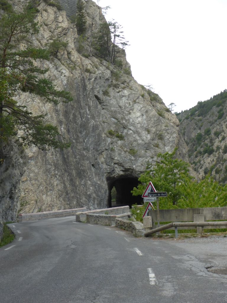
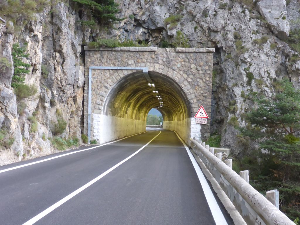
About 80 meters or 260 feet below the pass height is this tunnel located, which is connecting both mountain sides of Col du Galibier. Building this tunnel was necessary, because the area around the pass height is/was very hard to travel due to immense snow masses which fell here casually.
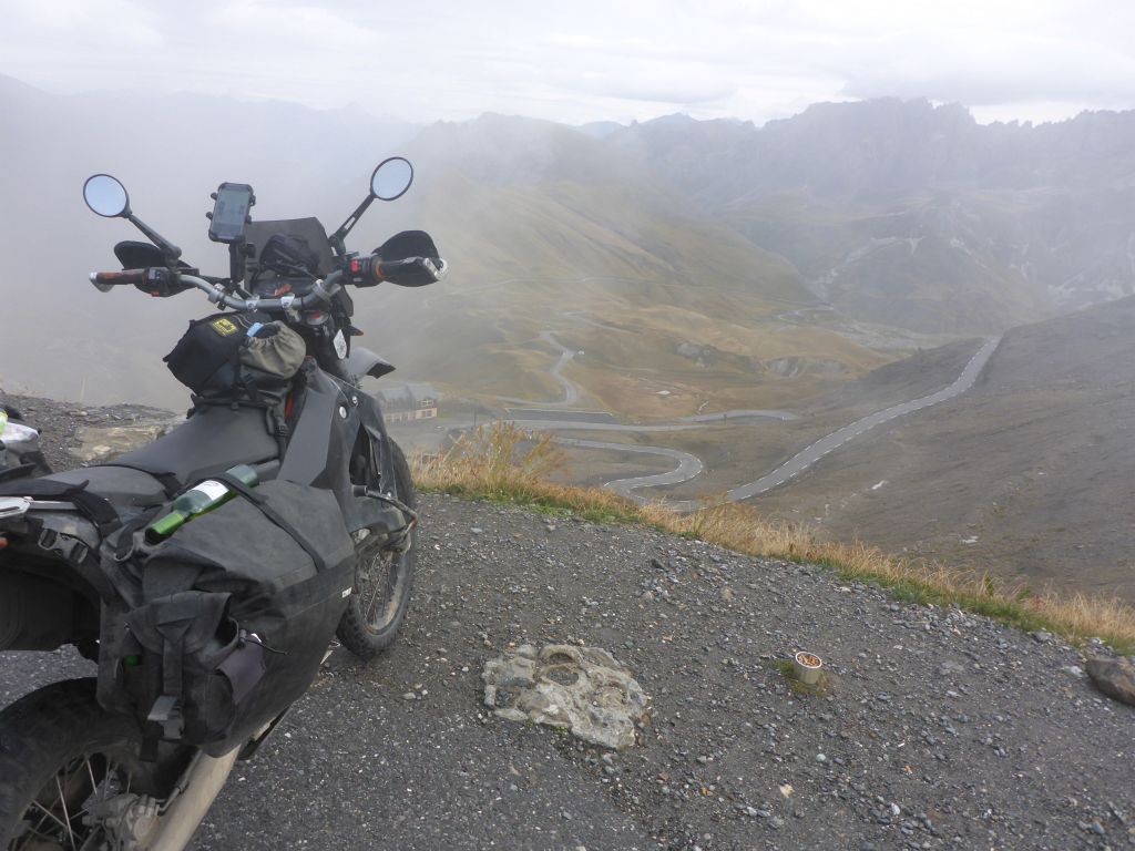
The view to the northern side and also the first …
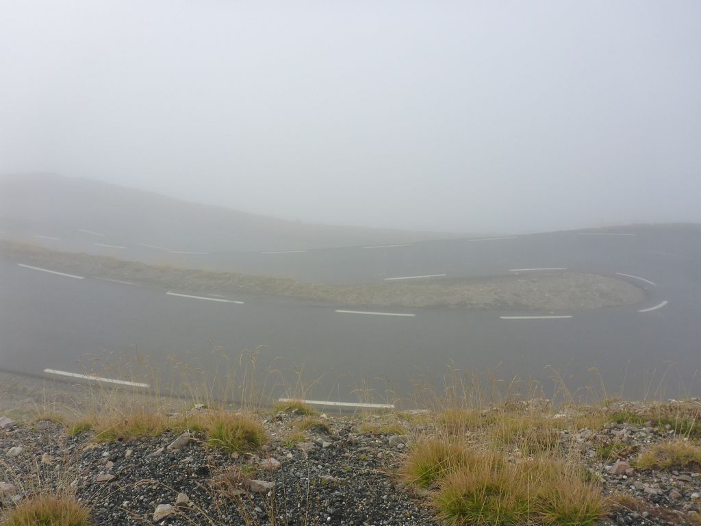
serpentines on the southern side of the pass height has been foggy. But …
finally the weather along the …
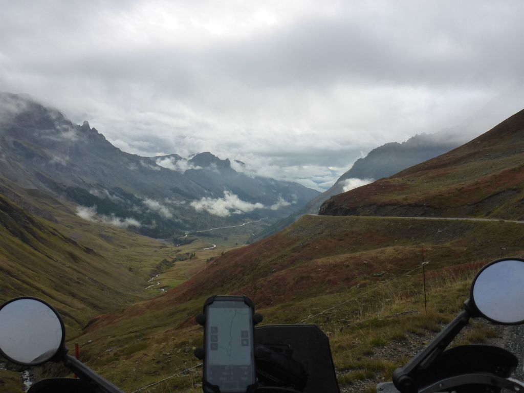
southern ramp of Col du Galibier …
cleared up remarkable. At the mountain tips first snow was visible. *hurrying up*
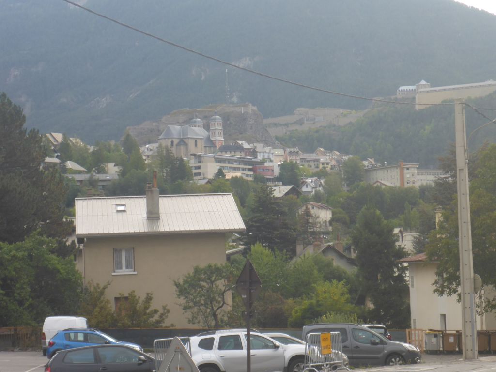
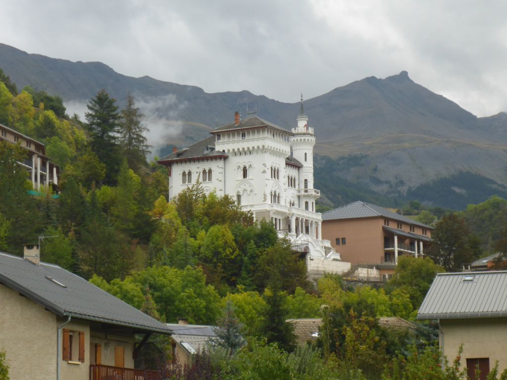
This is a (bad) shot of the Notre Dame Saint Nicolas and in the background the huge “Fortress du Château in Briancon”.
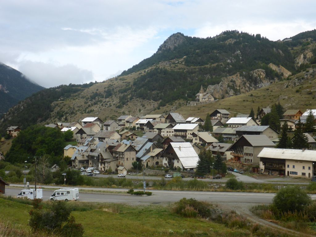
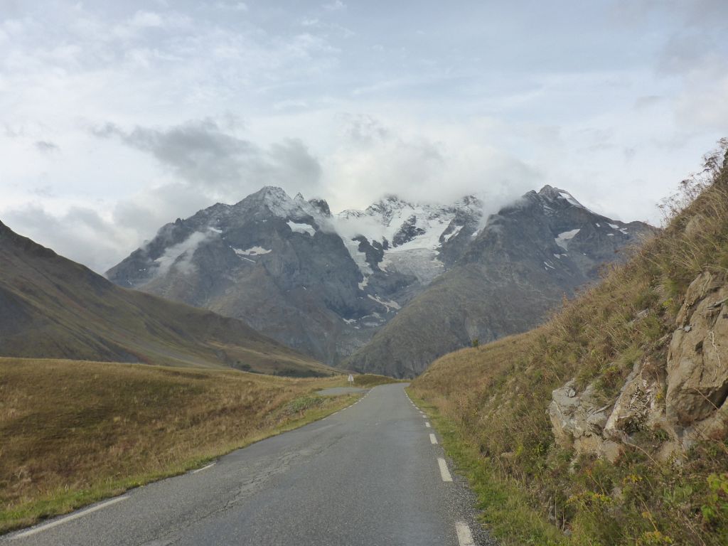
On our way to Col d Izorad we passed this little alpine village, with atypical steep roof shapes.
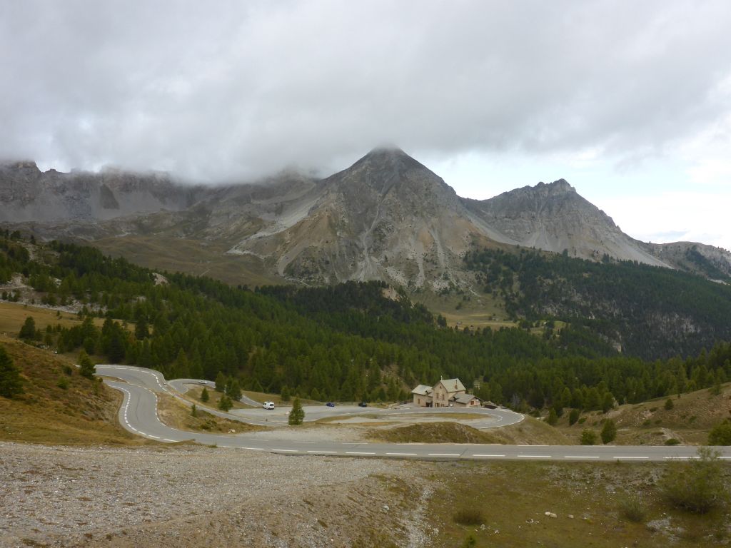
The pass road …
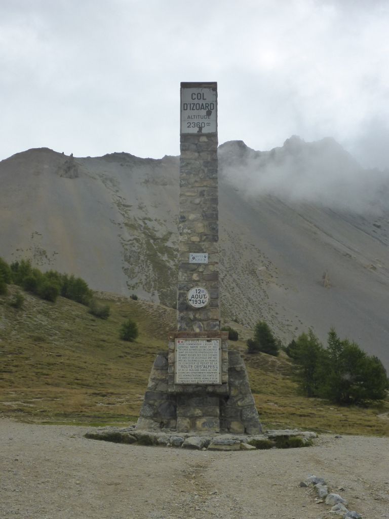
Col d Izorad is leading to a completely …
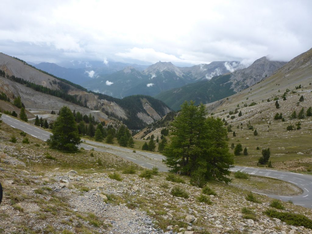
different rock and vegetation area …
within the alps, what made it for me, as a landscape lover, very interesting compared to the other ridden passes along the RdGA.
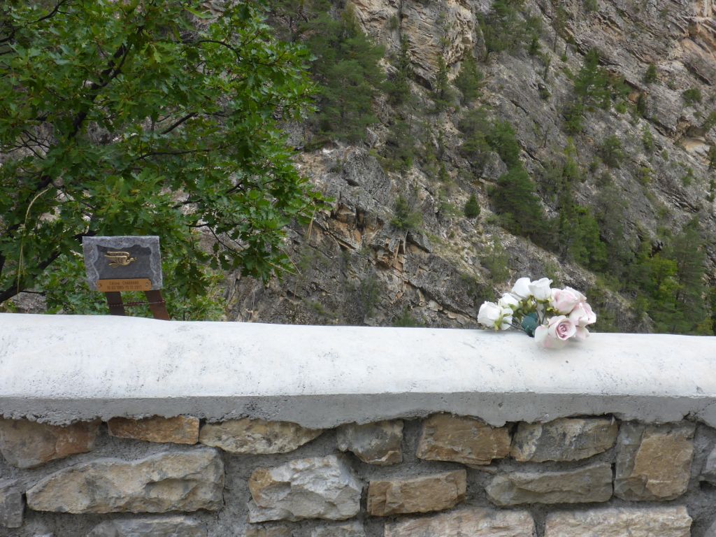
Leaving Col d Izorad behind we passed the Fort Quearas and …
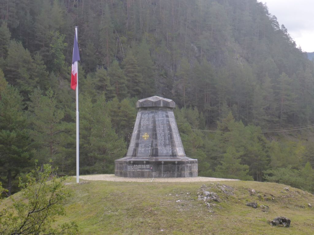
this unnamed Wordl War 1 monument before …
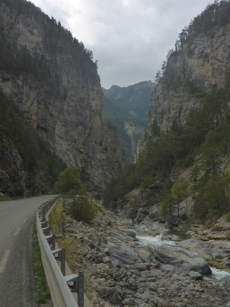
entering the …
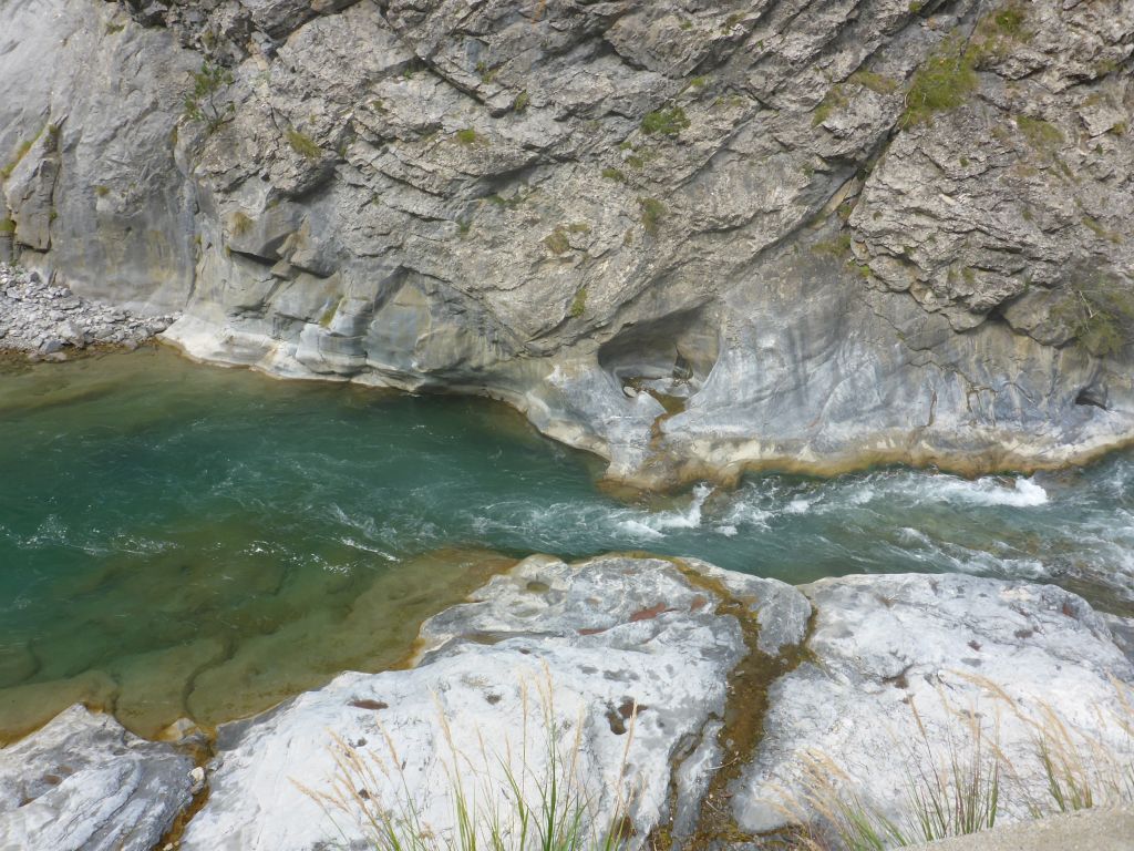
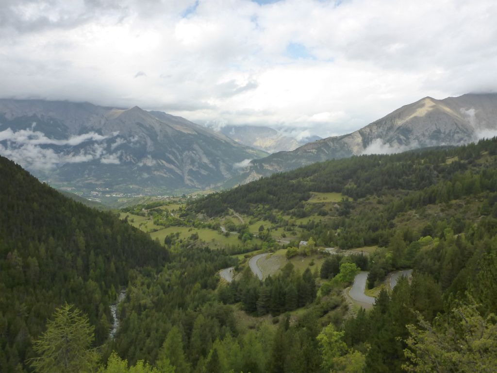
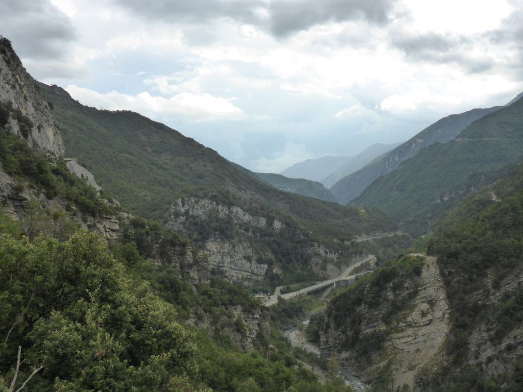
deep Gorges of the …
river Guil. The narrow street …
lead up the hilsides of the gorge and …
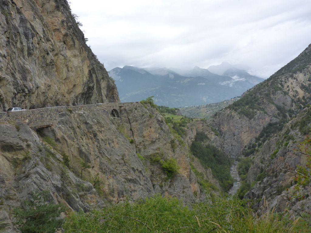
offered very nice lookouts into the thousands of years old spill out.
Like all over the world, such streets along deep gorges are traffic dead traps. At the end of the gorge …
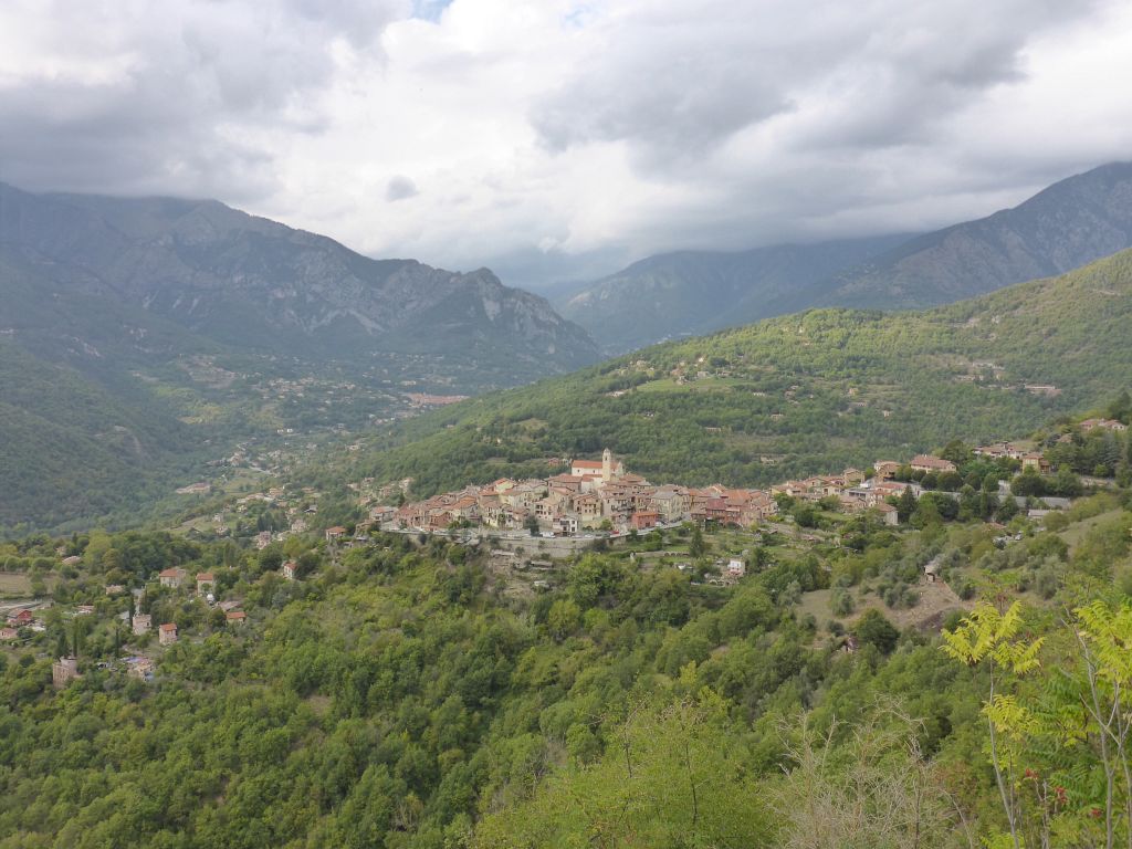
the landscape with the city Guilestre in its middle, opened spectacularly.
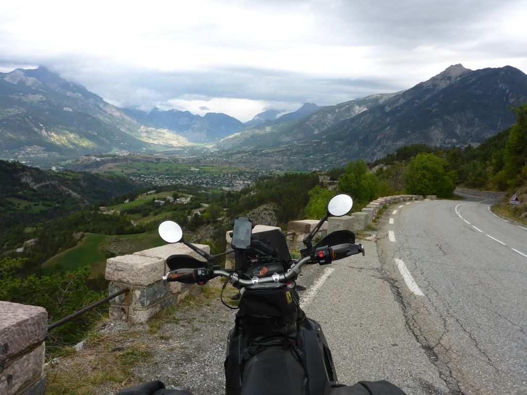
Our next stop was …
the calm shaped “Col de Vars” which was surely one of my landscape highlights along the whole Covid Detour 2020.
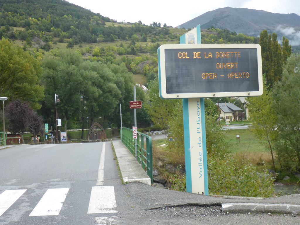
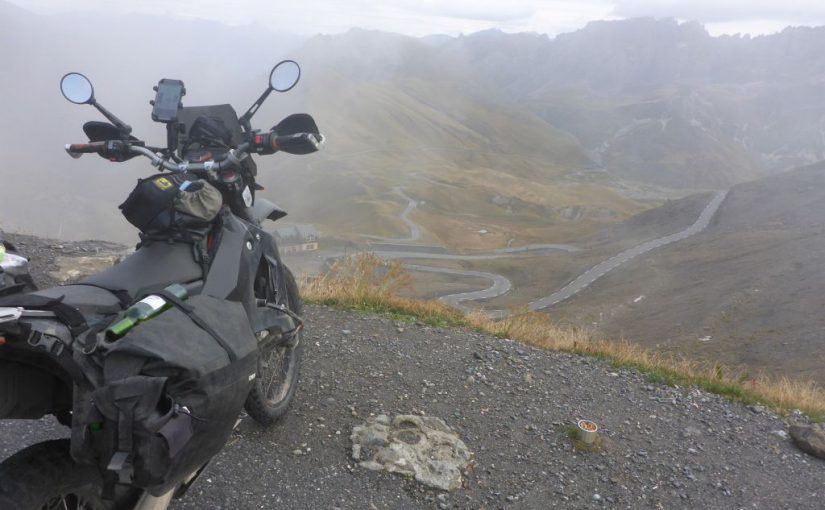
Arriving in the city Jausiers I was very happy when I’ve seen this sign, which told me that the highest point of this tour, Col de la Bonette was still open. I bought some snacks for the evening and …
went of for climbing …
the highest paved and legal rideable alpine through-road of the European Alps – called “The Cime de la Bonette”. (Col del Iserans pass height is higher than Bonettes, the Austrian dead end road Ötztaler-Gletscherstraße is also higher – Here is a good list with the highest roads in Europe: LIST)
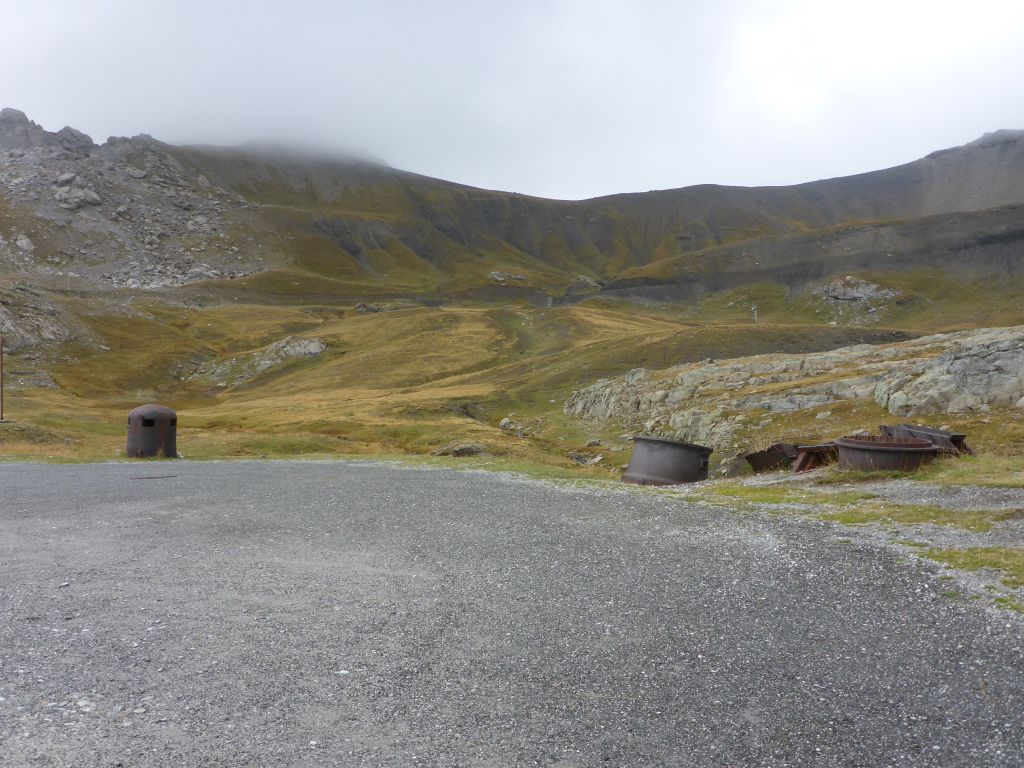
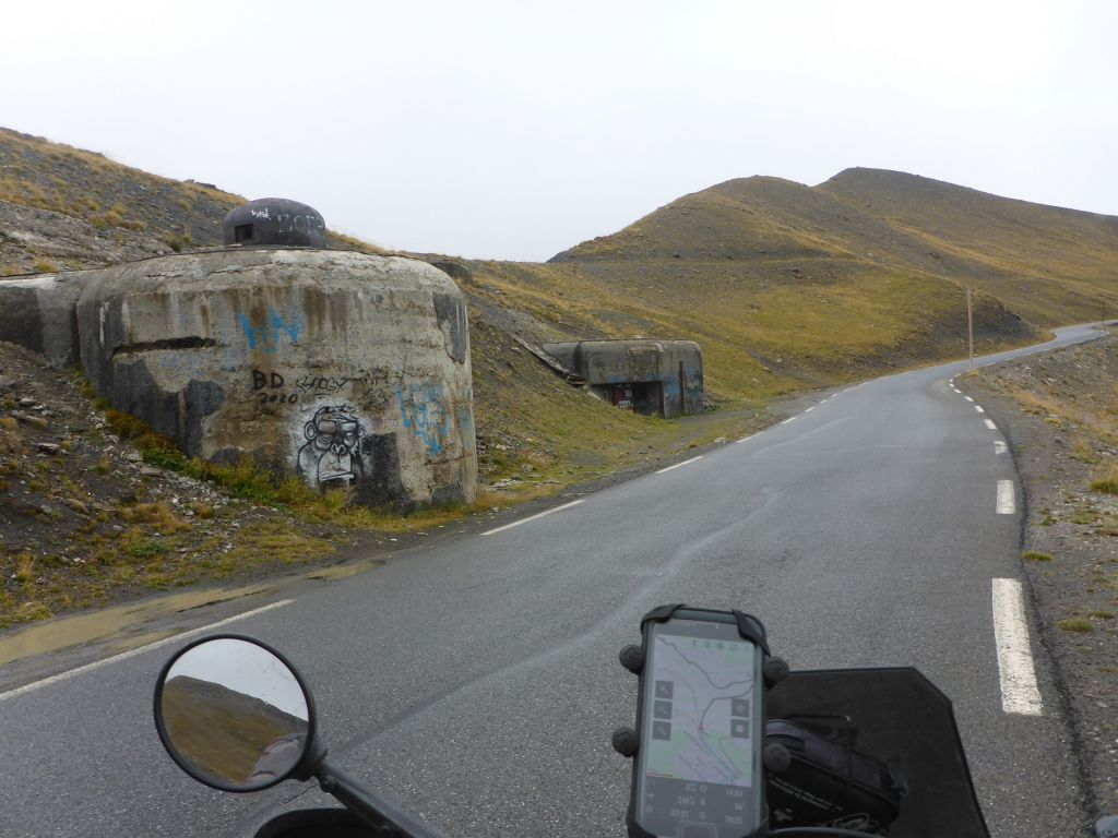
Coming from the northern ramp, these steel carcasses of former bunkers and cannons are often seen aside the road. This bunkers / cannons and the …
“Fort de Restefonds” are leftovers of the Alpine Line, which is a part of the Maginot-Defence-Line.
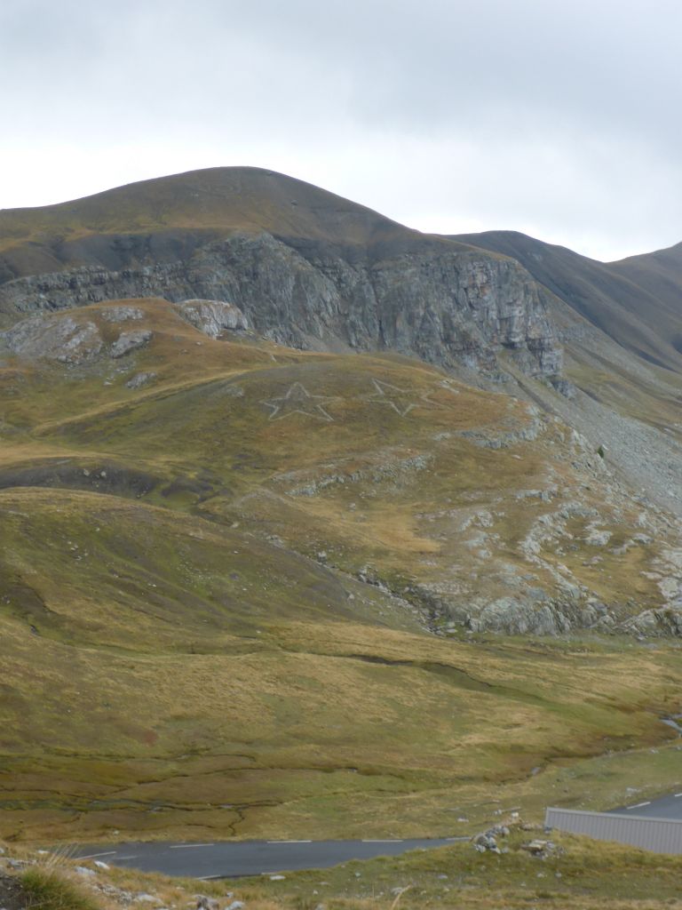
No idea who or what is the reason behind this two stars on the hill opposite.
The last few miles before reaching the pass height of Col de la Bonette the slope flattened and …
some concrete bunkers showed up pointing towards Italy.
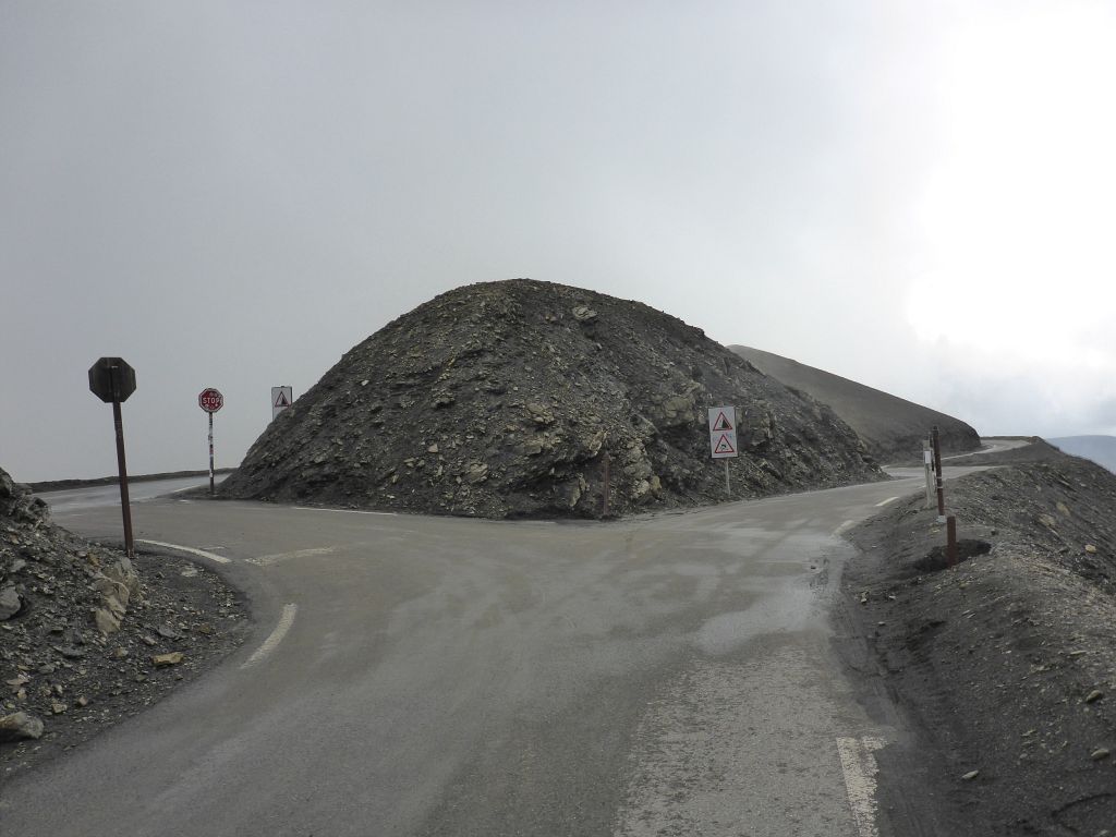
We passed the crossing at the passheigt and followed the peak round corse to …
its highest point, where dense fog awaited us.
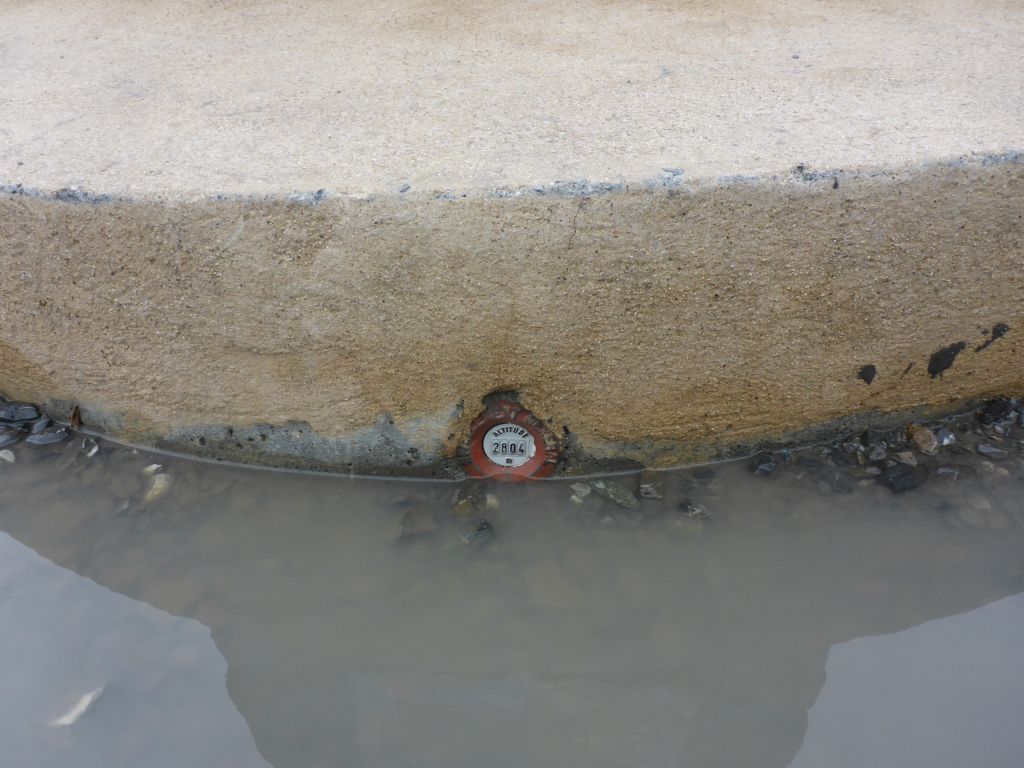
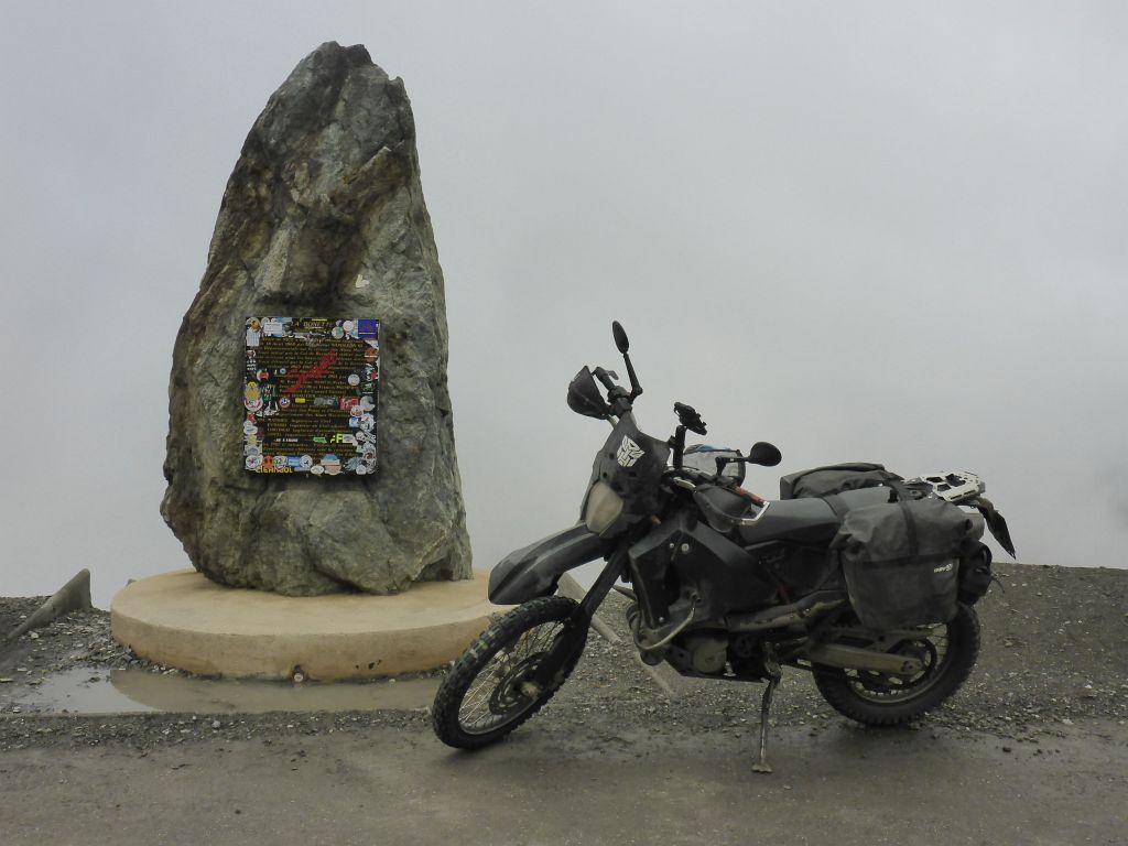
According the measurement point at the feet of this roadside monument, it is located at a height of 2804 meters or 9200 feet height. That is two meters higher than officially claimed. Whilst wondering myself about that …
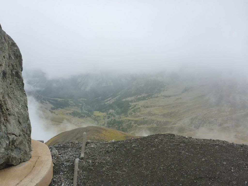
a small fog window opened. Because it was windy, moist and cold I just made a short rest at the “Cime de la Bonette”.
Чернотa and I started our descent which led us right through the …
old military base “Camp des Forches”. Close by I had to stop at this …
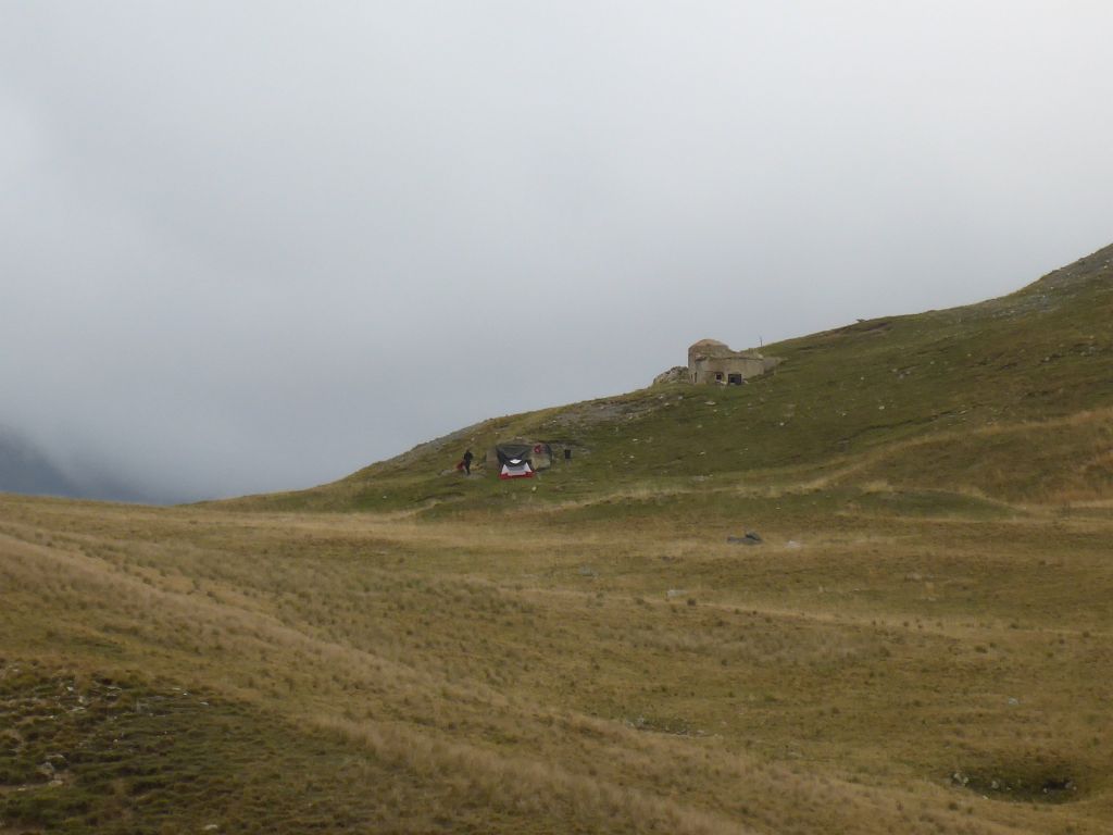
scene: The tent was built up on a completely awry hillside. This way a usage of this tent would make no sense, because it’s not possible to sleep or even stand in this tent. *sillwondering*
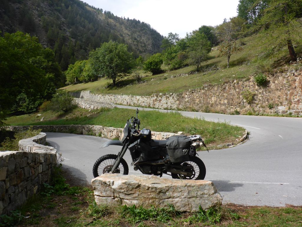
In a nice sunny hair pin bend I made a short rest. During eating a cereal bar …
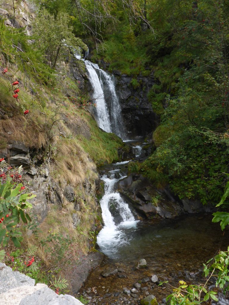
I enjoyed the view to this little waterfall and …
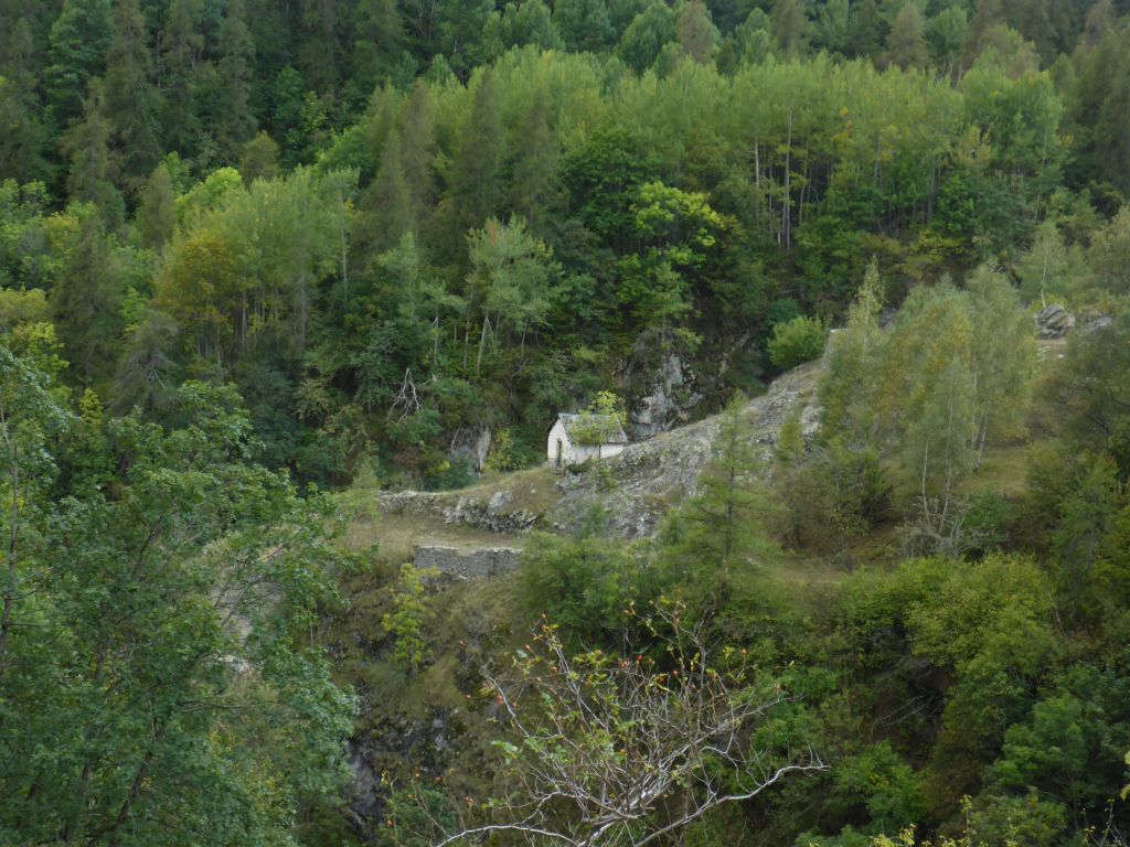
a forlorn hut located on the opposite side of the valley. After a …
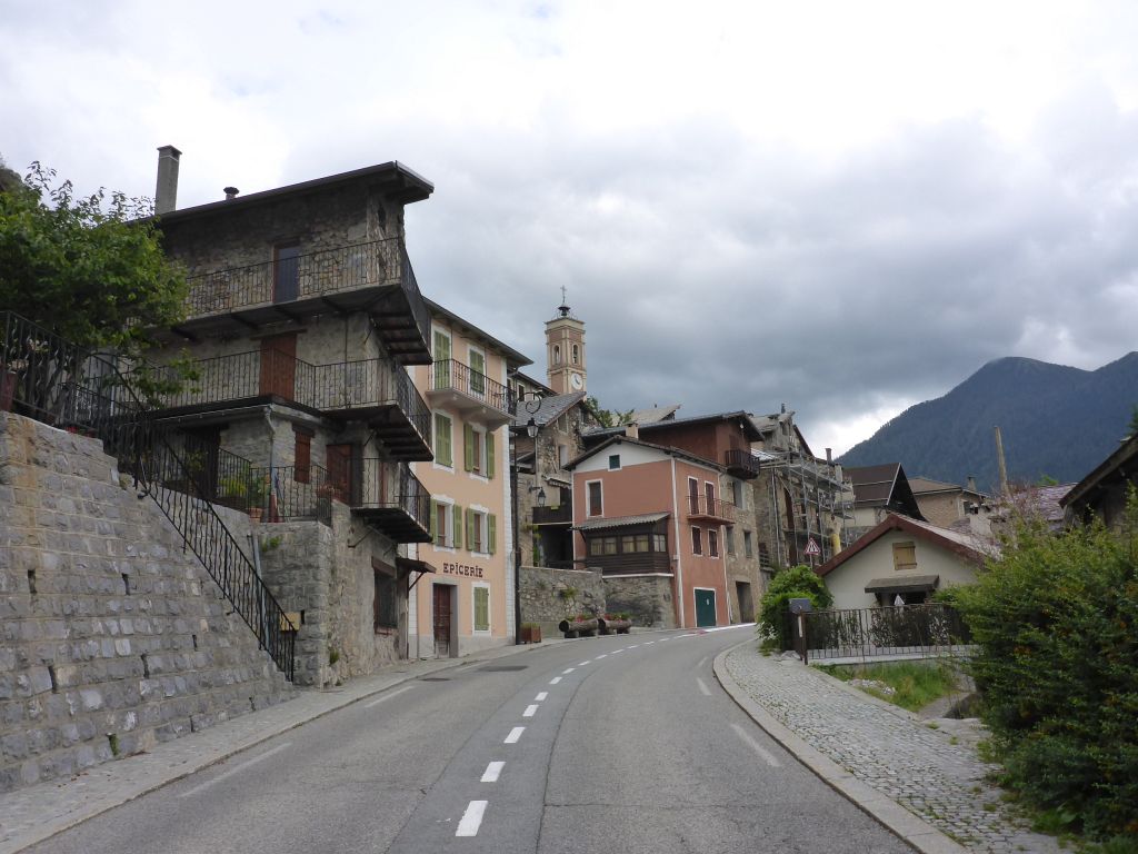
small village which name I can’t remember my black beauty and I followed another …
road aside …
magenta colored …
rocks. The …
tarmac along this huge valley, which we followed now …
was …
close to perfect. I was very surprised …
about …
the big amount …
of …
curves and …
and serpentines along the last, most southern part of the traditional Route des Grandes Alpes.
Around 05:00 in the afternoon it stared raining again, short before reaching …
the city Castillon. I took the opportunity for …
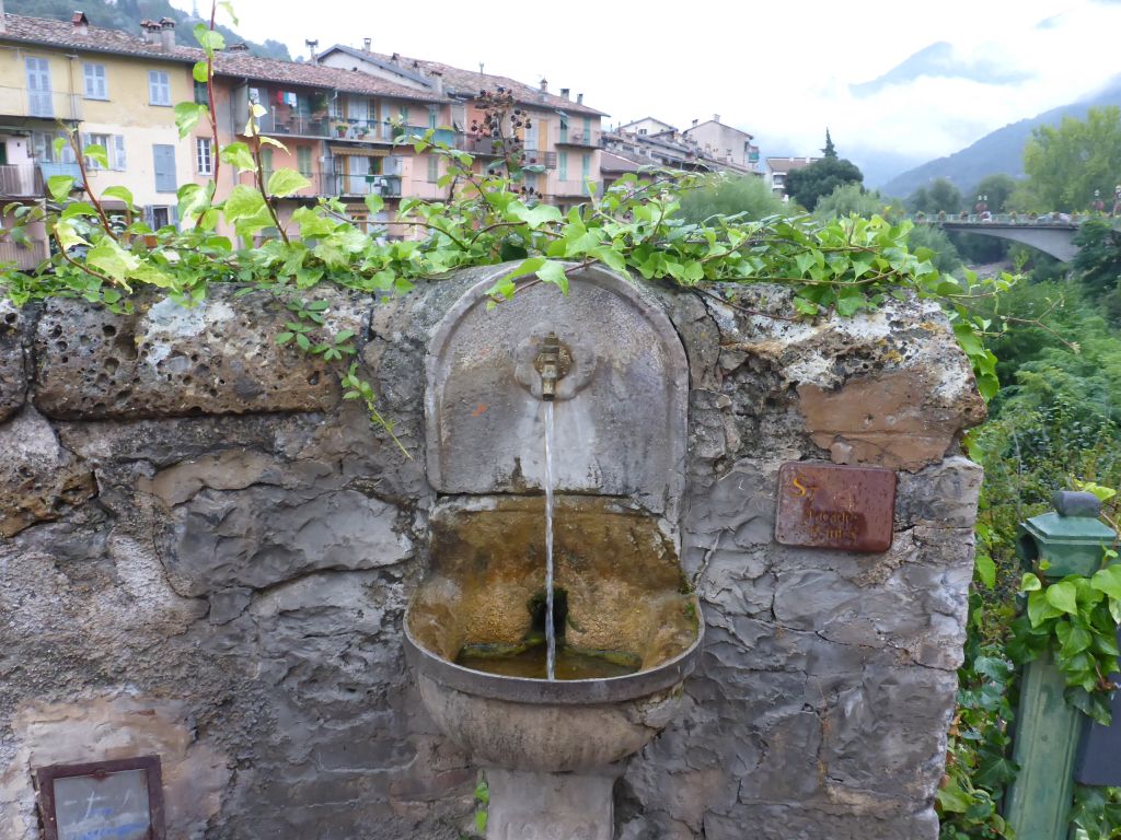
refilling my water bottles at this old gap.
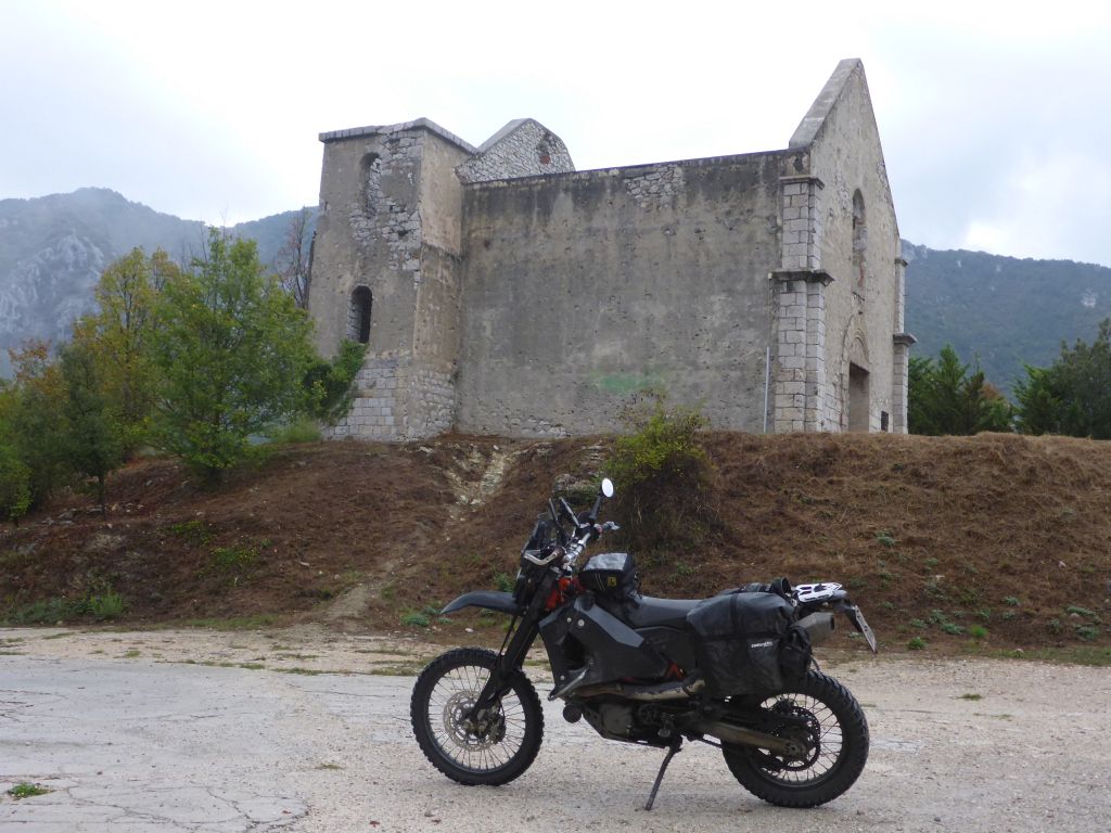
On top of the small passroad Col the Castillon, near this destroyed church, …
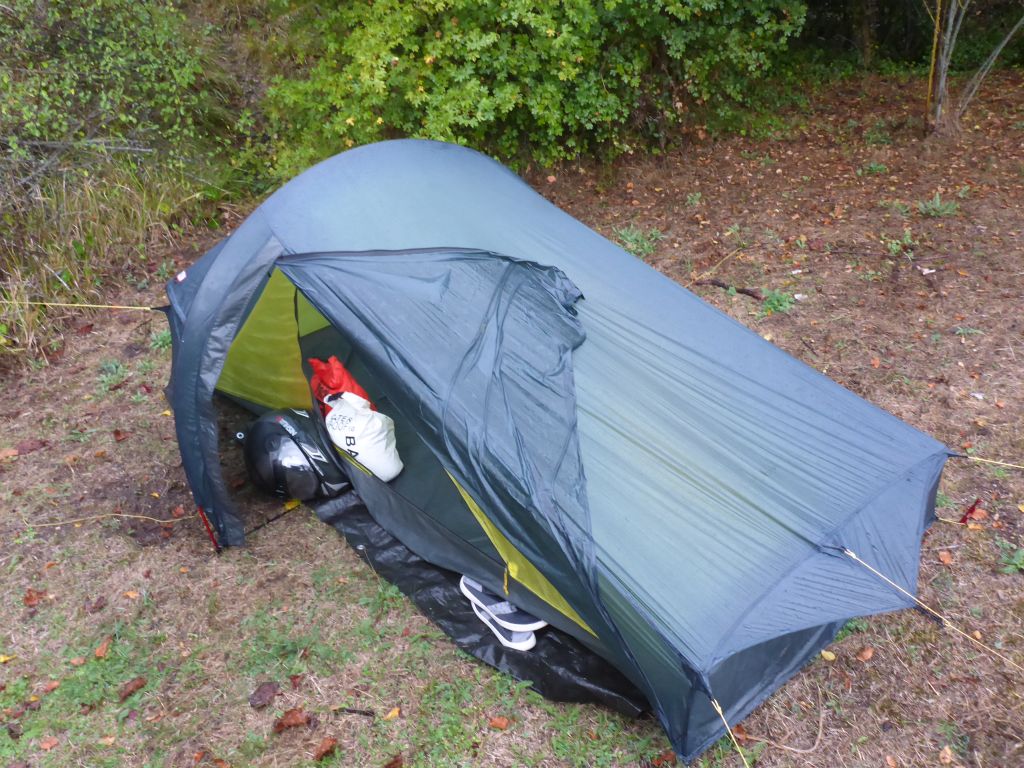
I found an even place for shelter. Sadly it was bucketing down when I built up the tent. Again I had an appetite for …
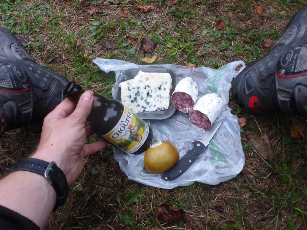
some tasty french dinner snack, so this time French air dried beef salami and some very intense tasting blue-mould-cheese was served under a tree whilst watching the rain.
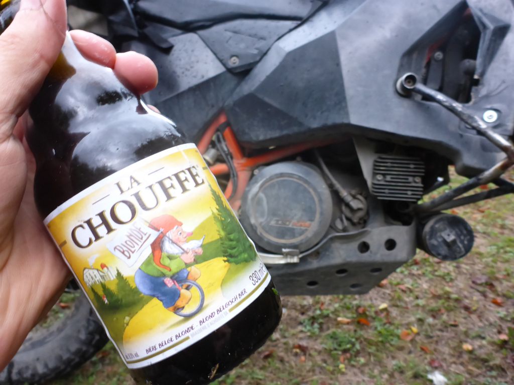
I was thirsty so I had a second beer. A closer look showed me that I bought by accident Belgian beer. :-/
Whatever! At least, there was a drawing of a dwarf on a unicycle looking for a “Blonde” on it. 😉
As soon as the second beer was empty, again strong rain appeared, what meant for me: Tent Time.
Total covered distance along this riding day: 395 km or 250 miles.
Interested in my doings? Than feel free to join my social media channels for further updates! ➡