“LET IT BEGIN”
Two of my main goals of this trip have been: On one hand side the “Route de Grandes Alps” and the other side: the Island “Corsica” within the Mediterranean Sea. From my hometown Vienna, to the entrance point/ferry port of these two goals it needs a ride which is about 1100 km or 700 mi long. So the first two days of the trip I’ll serve you a few impressions of nice places along the way to my first chosen goal, which is the entrance to the famous “Route de Grandes Alps” in Western-France. Lets start!
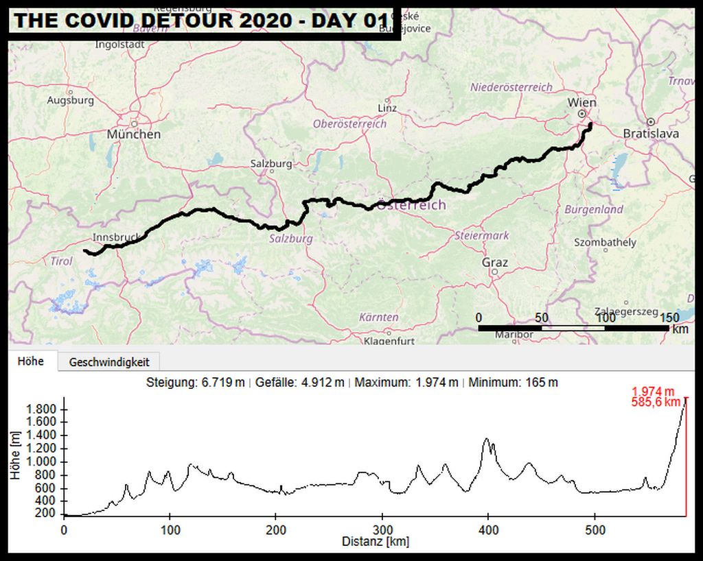
After leaving Vienna, this days route followed permanently back country roads westwards and is finding its day goal in Central Tirol. Sights on our way: Lake Brunn, Ennstal, Hallstadt, Hochkoening Mountain, Inntal and Kühtai Valley.
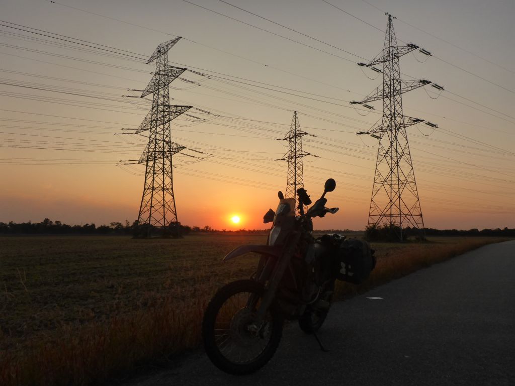
About thirty minutes before sunrise I got up, put my motorcycle gear on and said good by to my better half. While doing the first few kilometers the sun rose at the horizon. Leaving Austrias capitol with a motorcycle is for me after many years a kind of boring task, because I know in the meanwhile most of the biking routes around the city within a 3-hours circle. But sometimes something new …
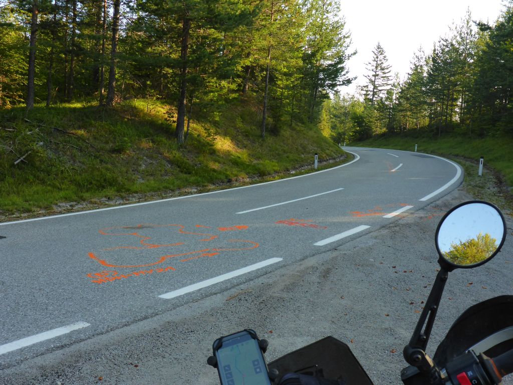
appears. As example this nasty looking crash scene, which happened on the Ochsattel, which is a famous motorcycle road in the southern area of the federal state Lower Austria. It looked like the oncoming biker was too fast for this curve and crashed into forthcoming motorcyclists. Ouch! o_O
When my personal analyses of the accident traces was done, I continued my ride …
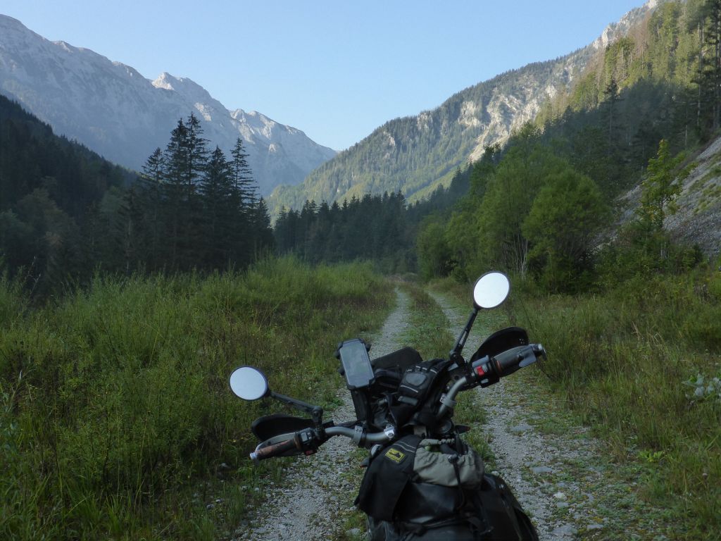
and followed the valley of the river Salza westwards. Within this valley is …
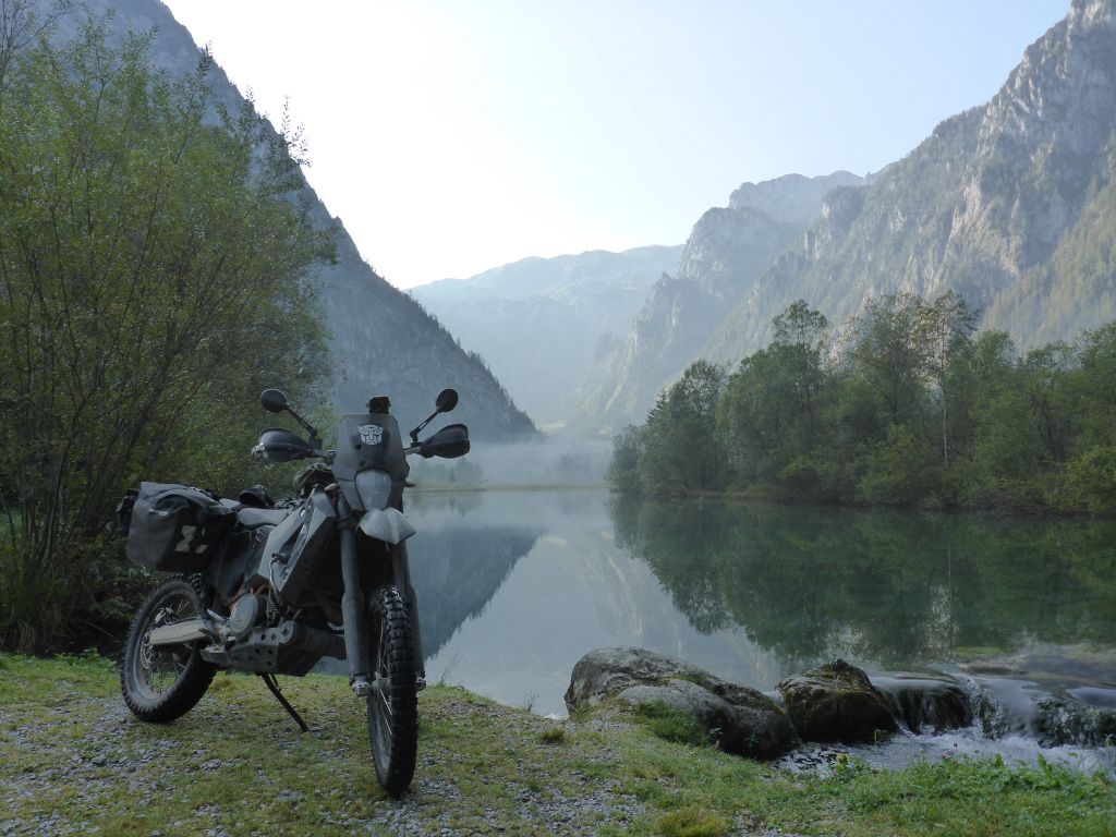
Lake Brunnsee locate, which is always a guarantor for taking a few great reflecting panoramic pictures.
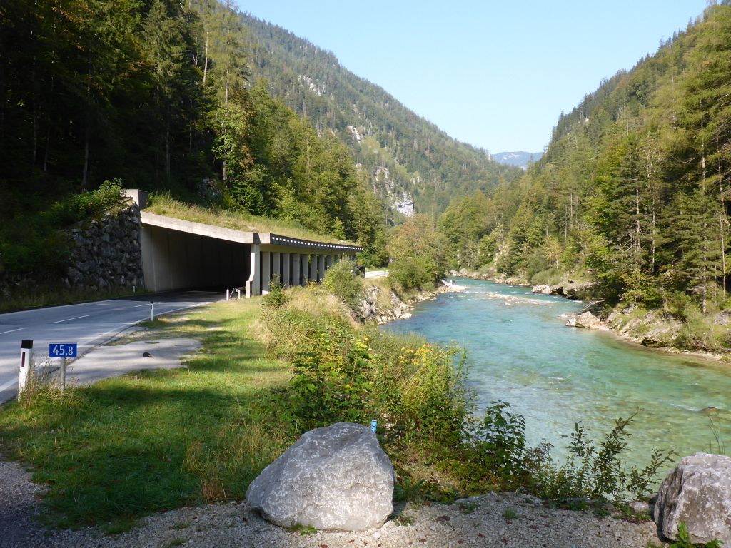
The ride through, the among Austrian motorcyclists …
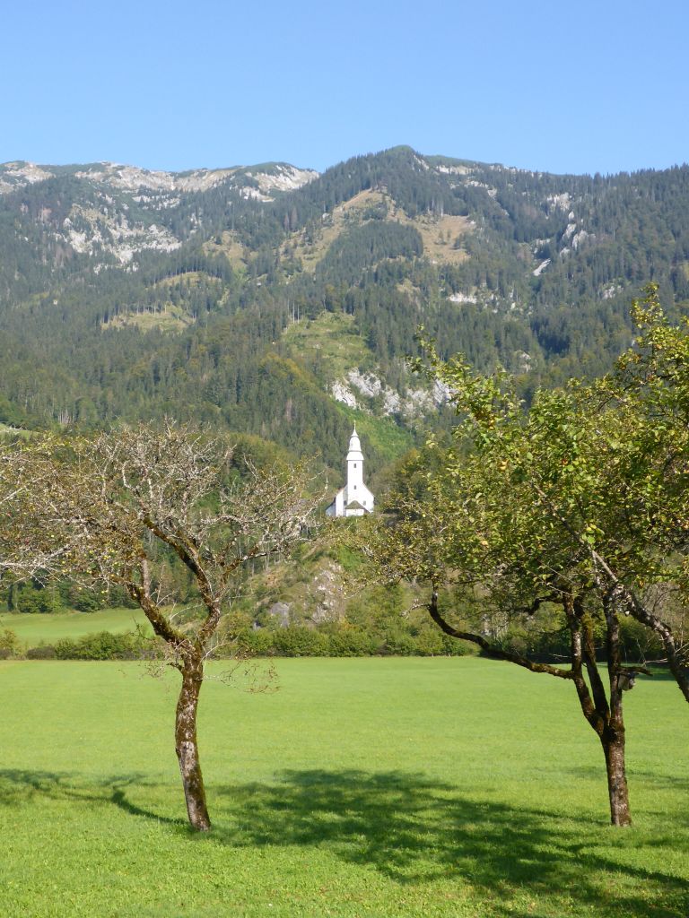
well known area of Wildalpen continued, til …
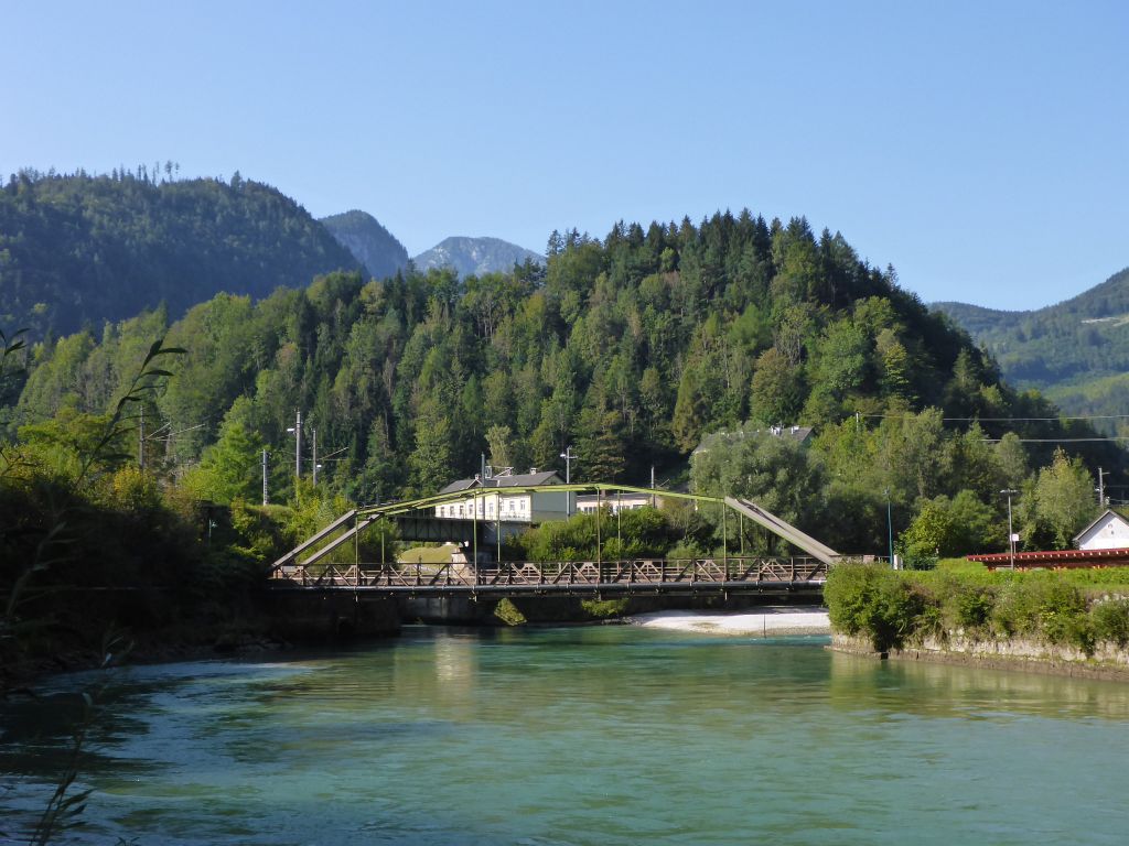
we reached the village Hieflau, where I had to inspect …
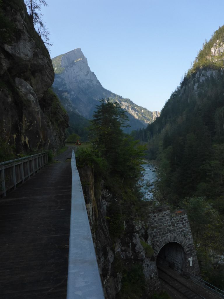
a officially closed detour road by feet. Just about a half hour further westwards …
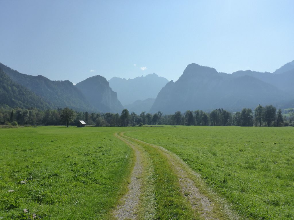
lies the exit from the valley called “Gesaeuse”, where we entered the very long valley of the river Enns. My black beauty and I followed this valley just about for forty minutes til we left it for riding in the direction of …
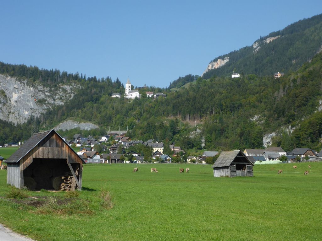
the village Bad Aussee. We passed this monster …
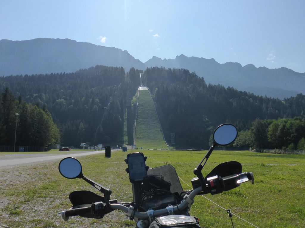
of a ski jumping hill. It’s called “Kulm“. The furthest distant jump on that frightening monstrosity happened in 2016. The ski jumper reached a distance of 244 m or 800 ft. I have no idea how this guy can fly that far with such big balls … .
Our way continued to …
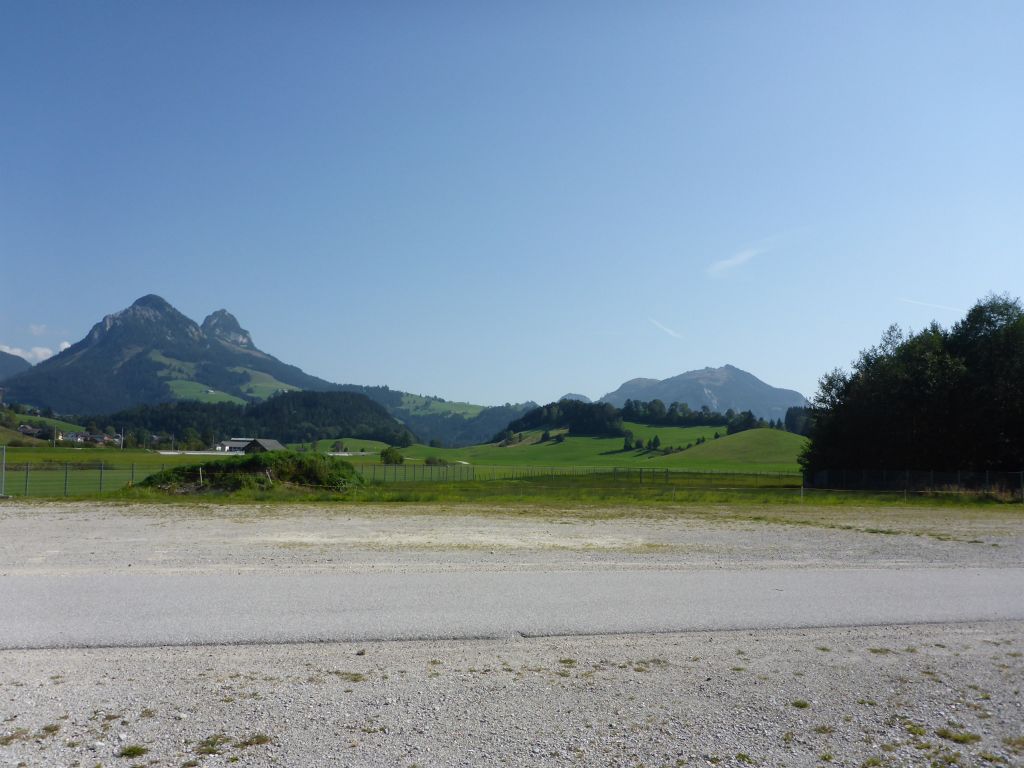
the village Bad Aussee, which is the “claimed” geographic middle point of Austria. Not far from this …
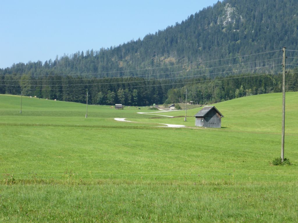
winding …
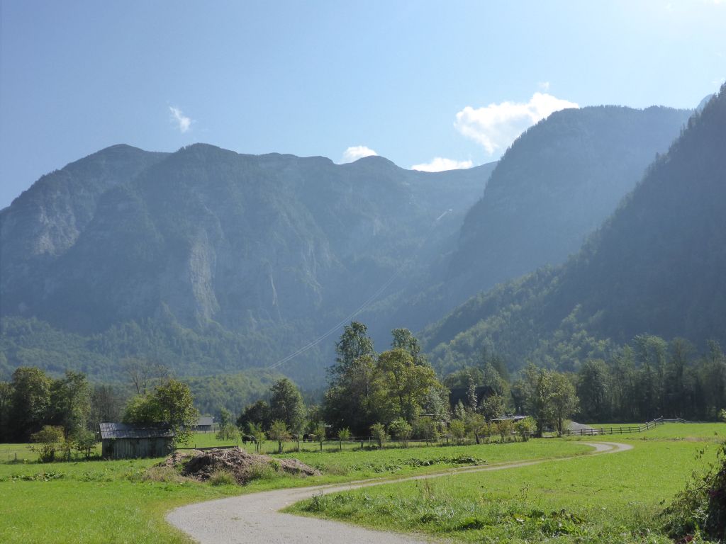
roads in the middle of one of Austrias most beautiful regions called “Salzkammergut” is …
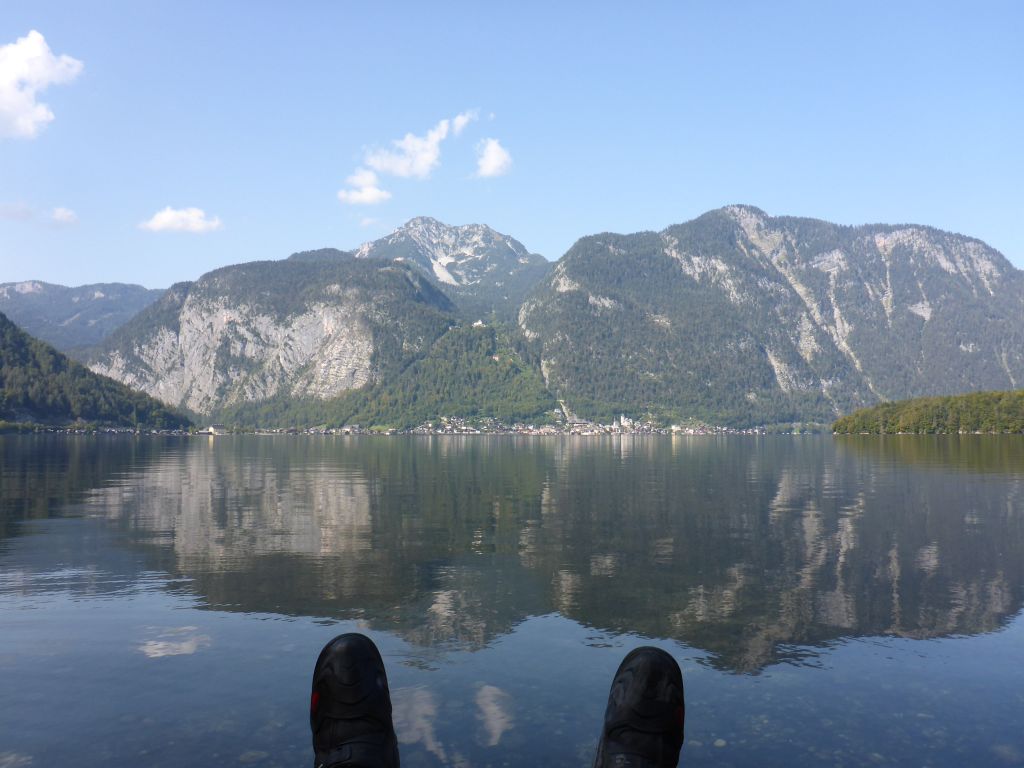
Lake “Hallstatt” located. The name giving village “Hallstatt” and the region “Salzkammergut” itself, are surely one of the most visited tourist places in Austria.
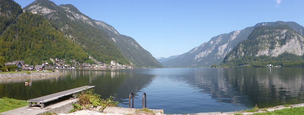
It is no wonder thanks to such mountain idyll. West …
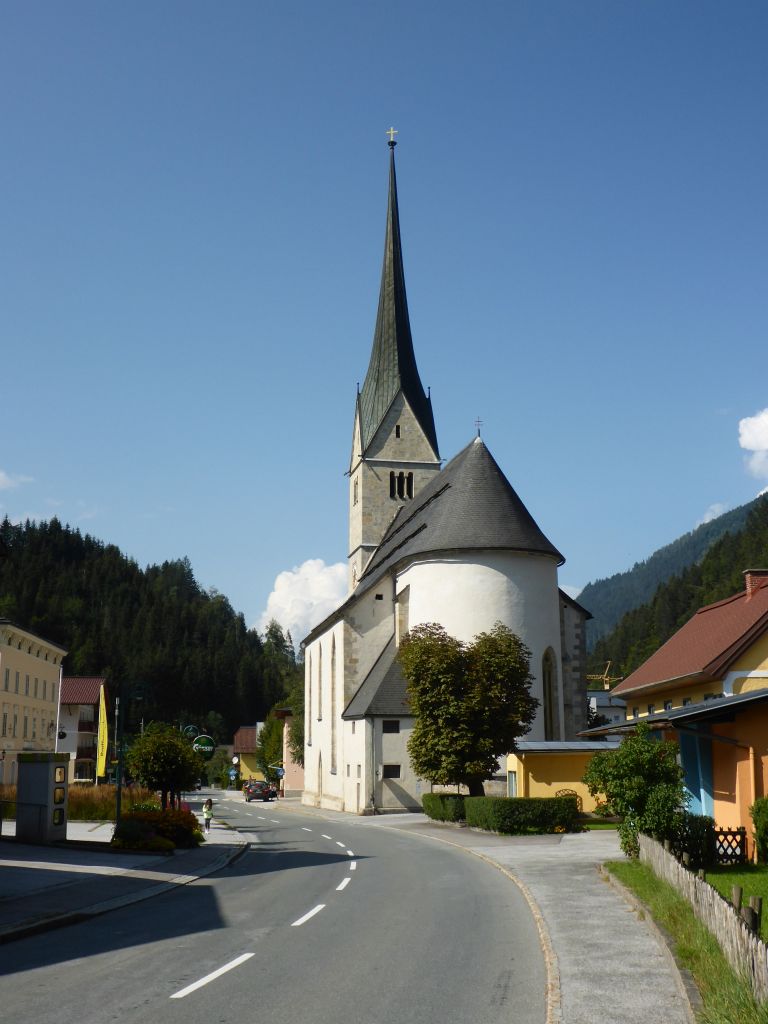
was the way to go! After a short gravel …
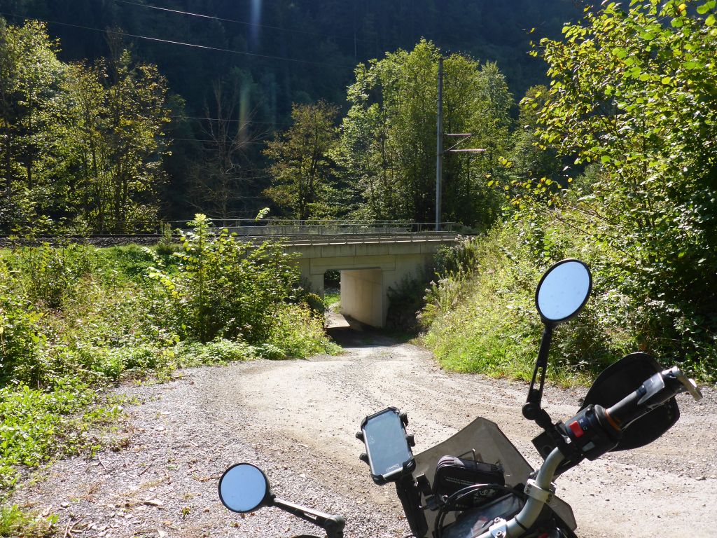
trip the ride …
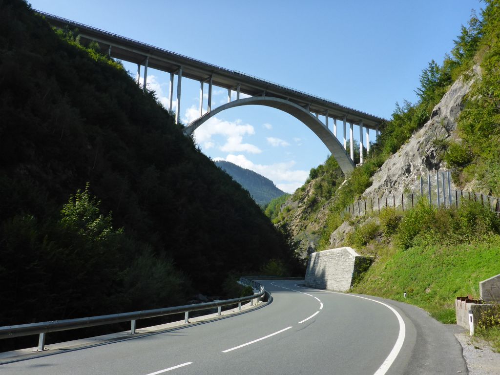
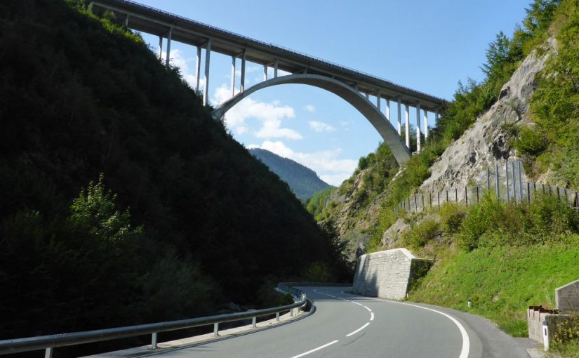
followed again some tarmac and underpassed the impressive “Larzenbach Bridge”, near the village Hüttau/Austria.
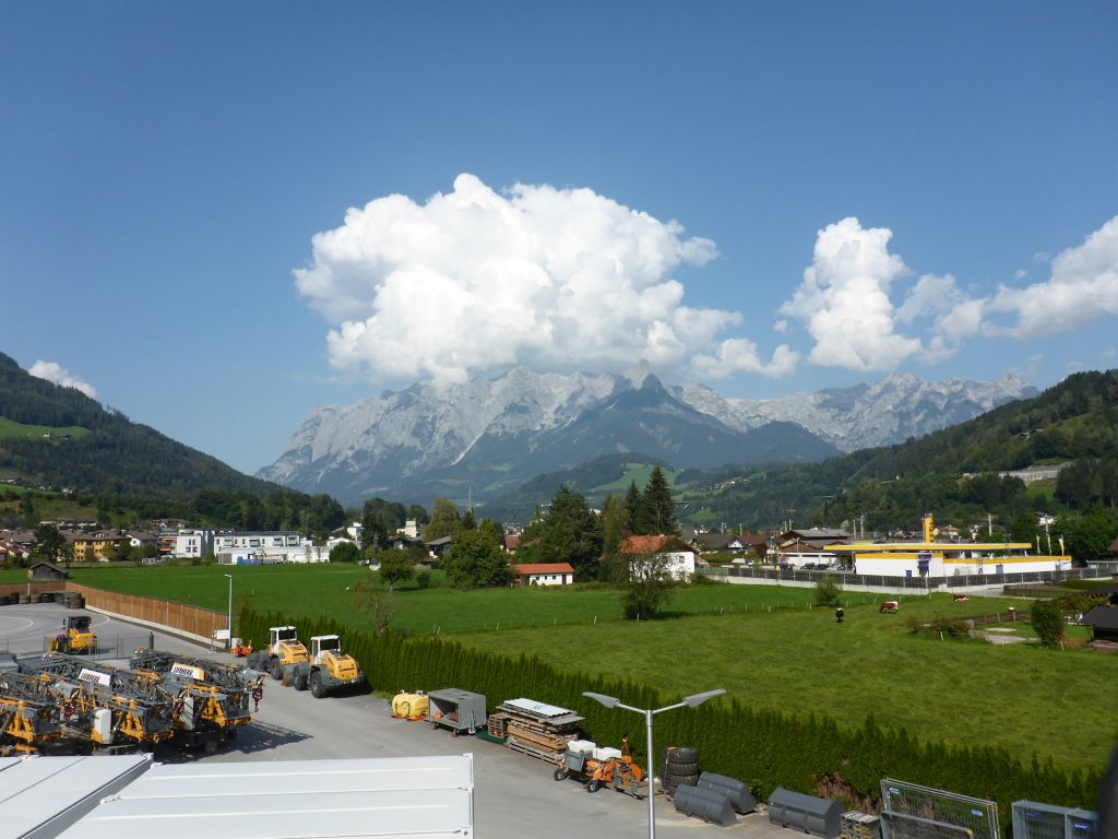
In the early afternoon the ride went on through the village Bischofshofen, where a great view to the cloudy “Tennen-Mountains” has been offered. Just a few kilometers further …
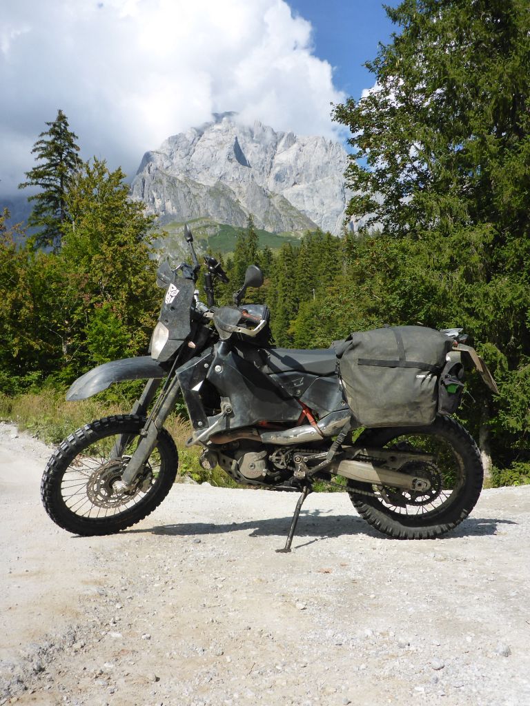
westwards the same cloud spectacle happened at the “Hochkönig Mountain Masive” which lies in Austrias federal state Salzburg. From there my black beauty and I passed over to Tirol …
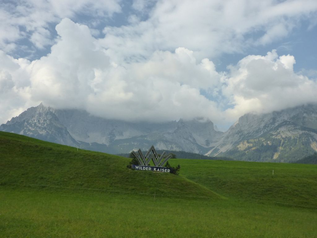
where the next famous cloudy mountain awaited us. Til now, it was a quite satisfying ride, whilst we have been following Austrias backcountry roads westwards. As soon as we arrived in Tirol, things changed. Following the valley of the river Inn is a very boring task due to plenty of traffic and a lack of curves.
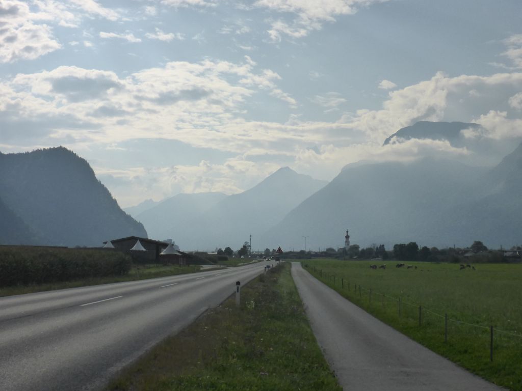
Besides that fatiguing straight tarmac roads also the …
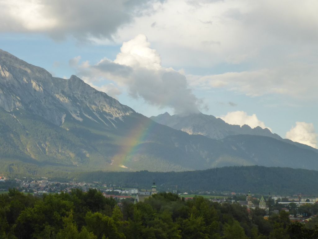
foresight of the incoming …
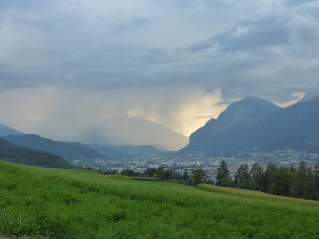
weather made me grief. Here, near Tirols capital “Innsbruck” heavy showers appeared in late afternoon. I had a stop for buying some food where I also put on my rain gear, what was a good idea! Just when we entered …
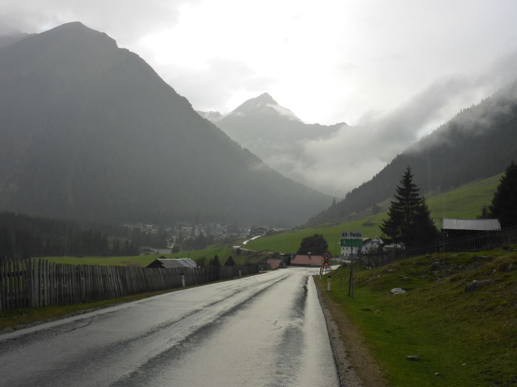
the road to the well known “Kühtai-Saddle“, it started pouring down. On our way to the peak of the saddle …
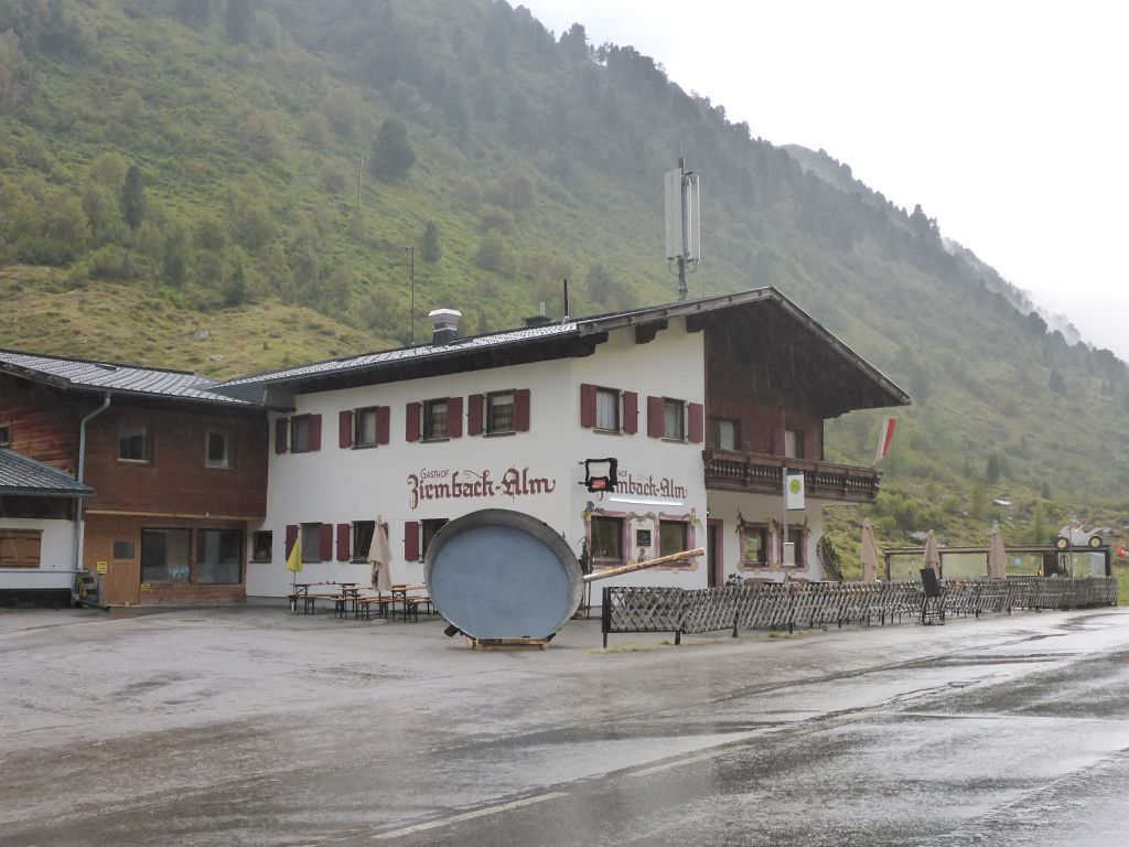
this gigantic pan was seen, which is surely a hint for the traditional meal, served in this little inn along the road. I used the photo stop here for a look at the weather forecast, because it was going to get dark within the next 1,5 hours. The forecast told me that there was an incoming cloud window, so I just rode on for another three to five minutes and found a nice place for …
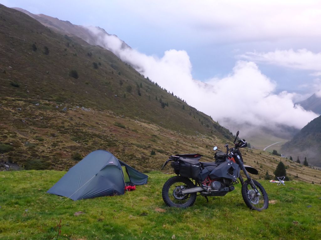
building up the tent. It offered a nice view down to the “Kühtai Saddle Road”. While I was completing the shelter work, rain stopped. What a luck! So I had time …
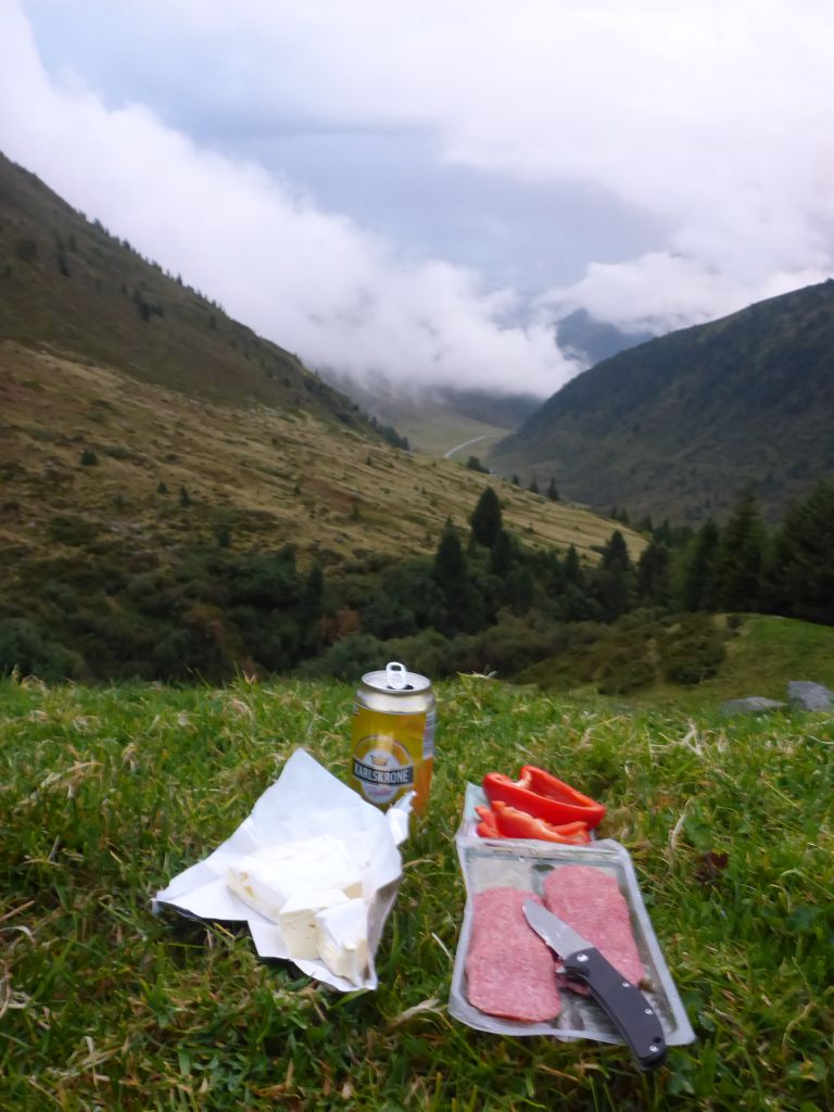
for enjoying my delicious standard meal, when I have no time for cooking. A neat brick of soft mold cheese, spicy salami, a red pepper and a beer. No cooking work, cheap, tasty and filling. Mhmm. While I was eating …
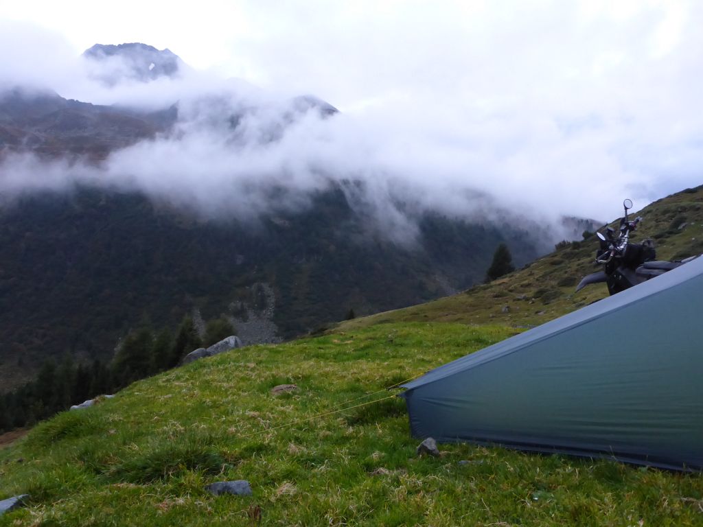
I observed the incoming fog clouds, which were carried by a soft breeze of chilling air. When …
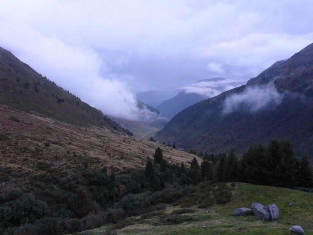
daylight faded, I prepped for bed and read on in my SciFi-book.
Total distance along this riding day: 585km or 360 mi
Interested in my doings? Than feel free to join my social media channels for further updates! ➡
