“SOUTH WESTERN BULGARIA”
(Part 01)
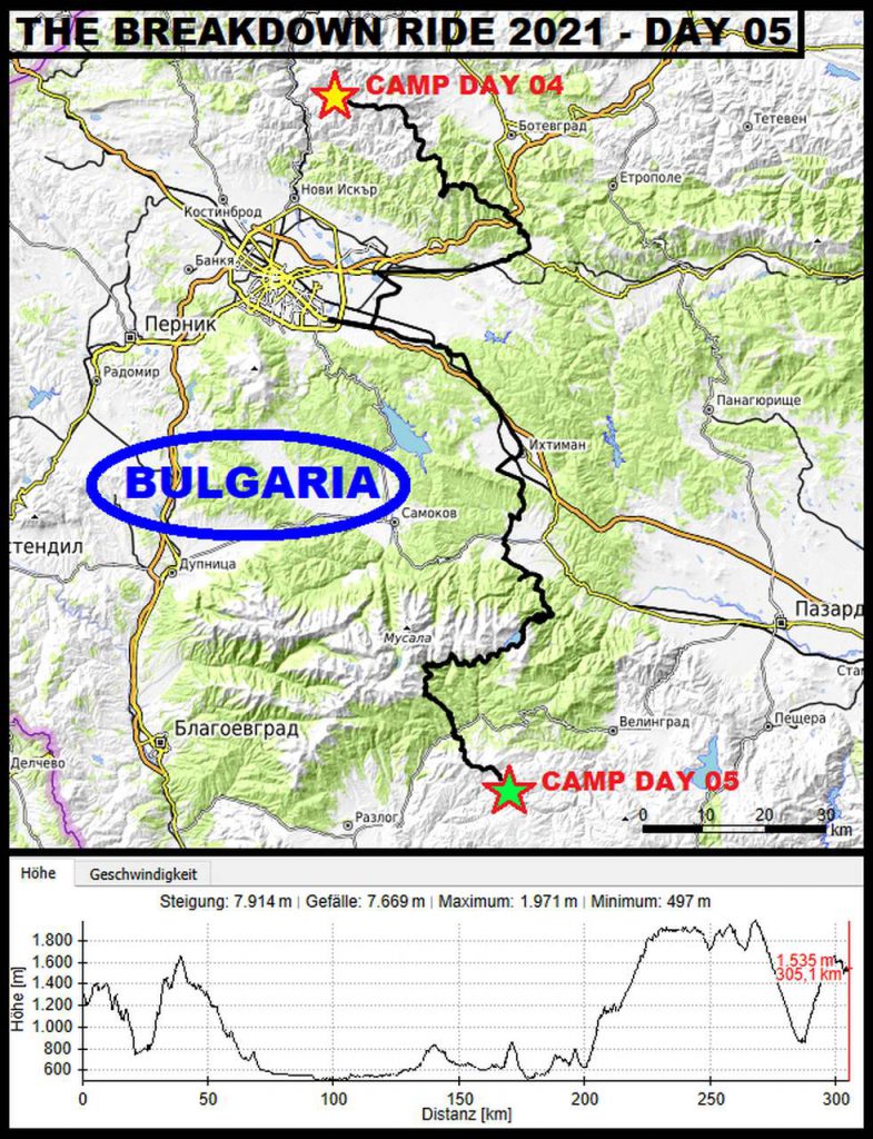
During the third day of following the Trans Euro Trail in Bulgaria, it showed out again, that this country is totally underrated concerning the possibilities, it provides for adventure riders. This day, Чернотa and I followed the TET further through West Bulgaria. After another scenic ride, we passed the capital Sofia and hit for the mountains in the South West of the Country.
Good Morning!
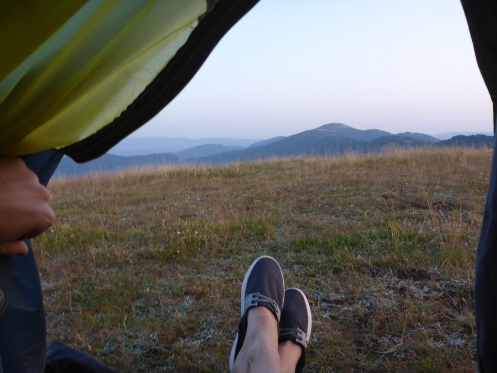
Besides the distant barking of a dog, the night here, somewhere atop a hill chain near the village Leskovdol was quiet. After a few days living in the rhytm of the sun (move during the day, rest in the night) my internal clock was set back to this rhythm. Therefore, I woke up with …
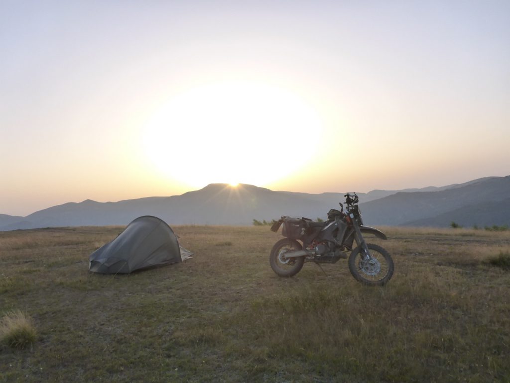
the glowing globe, which rose over the eastern horizon. No cloud in the sky promised another great day of adventure riding. During doing my usual morning routine, I had a look …
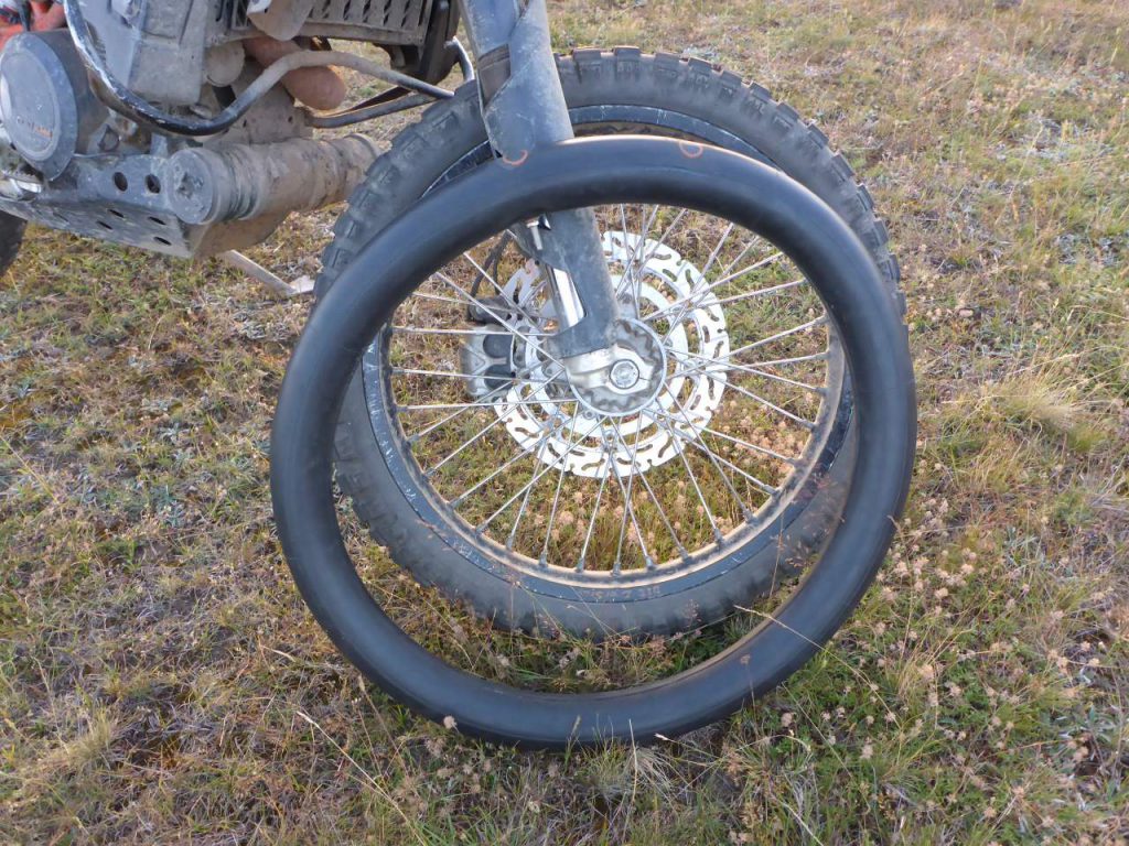
at the patched tire from the day before, which was a victim of fast riding. It looks like the tube was holding up pressure well, so there was no need for searching a new one along the incoming day. Happy like a dog with two tails, I …
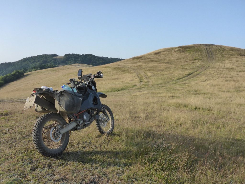
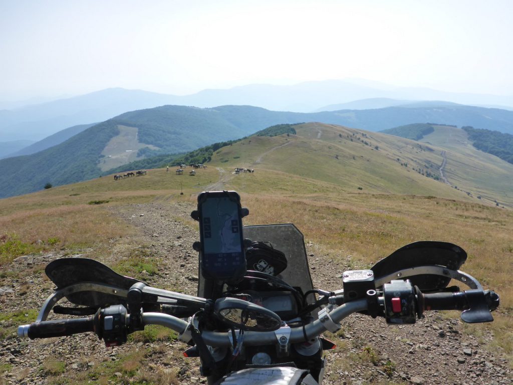
saddled Чернотa up and continued my ride along the hilly terrain. Along the first kilometers this day …
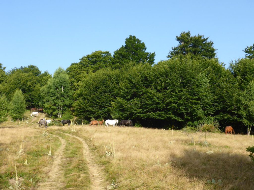
Чернотa and I rode right into this little herd of horses. The scene reminded me of a former trip along the hills in Ukraine, where I also had the pleasure of meeting such more or less wild animals in their natural surrounding. Literally, the quintessence of freedom!
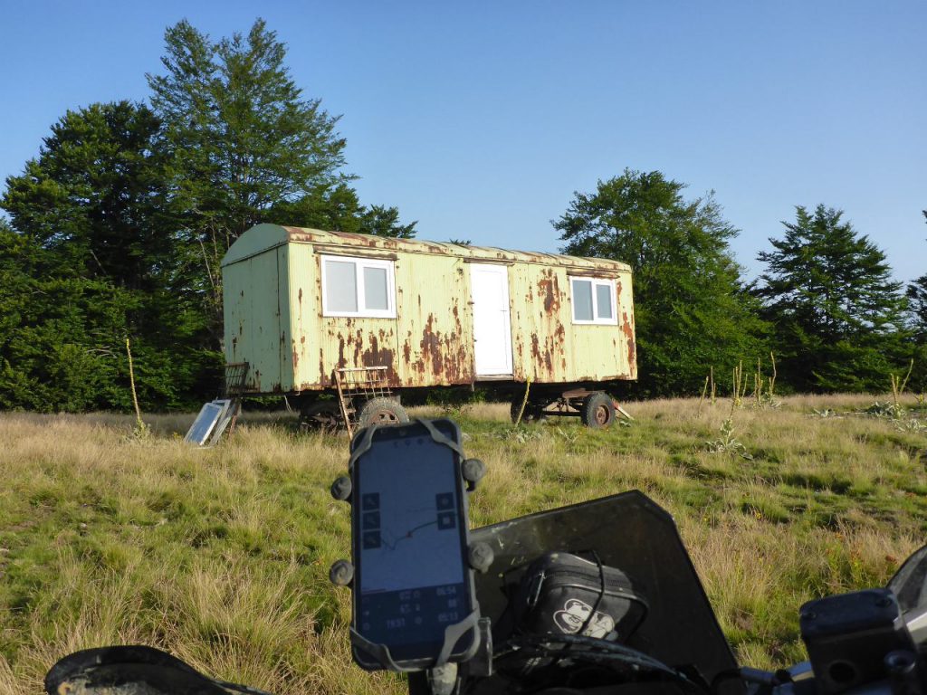
I’m always curious about such shacks in the wild and the reason behind the installation. This one is probably a shepherd shack. This early morning’s ride …
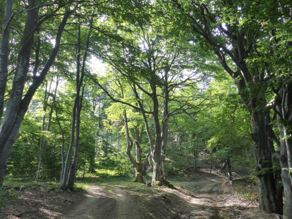
entered a small forest piece with some very …
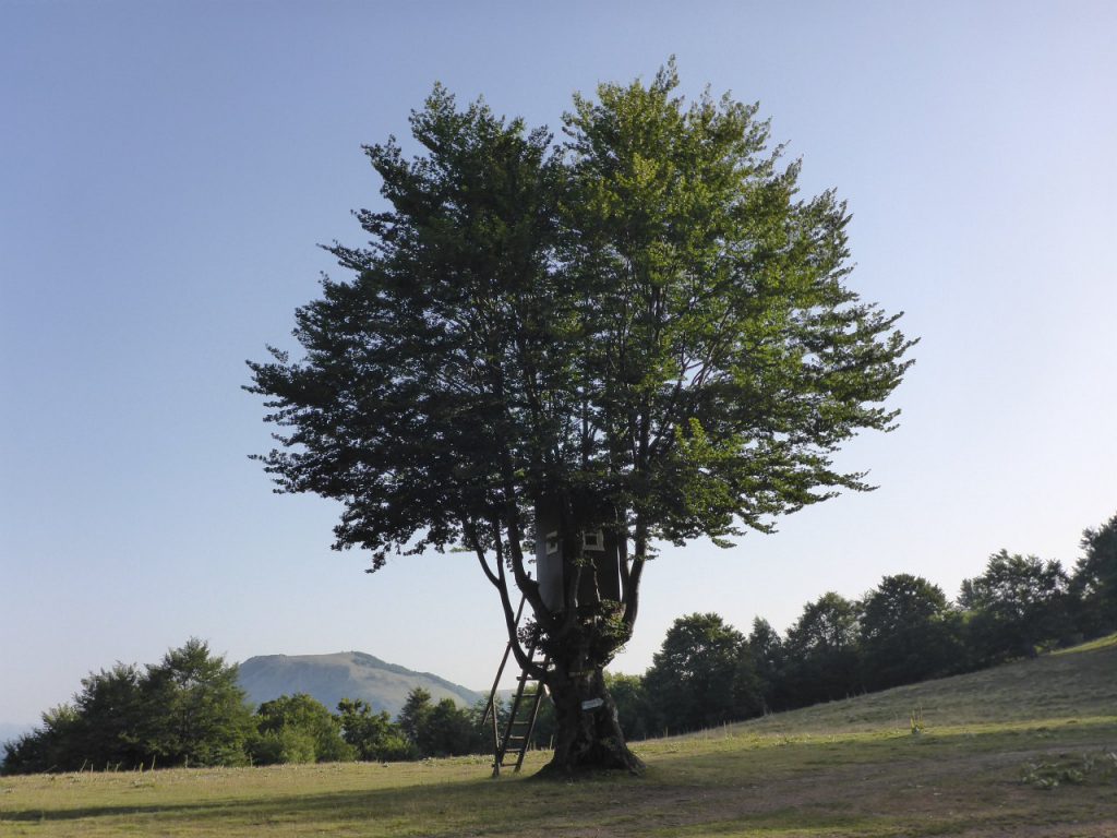
old trees.
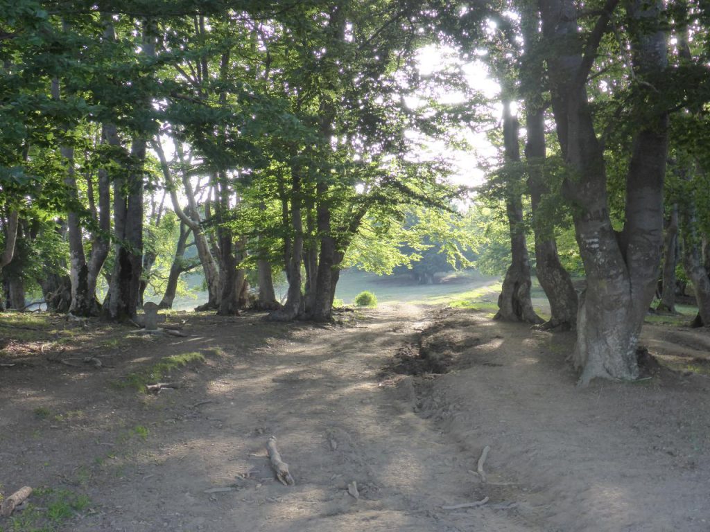
This picture was made too in the same forest. Do you recognize the very old gravestone on the left-hand side of the trail? Sadly, the engraving wasn’t readable anymore. At last, behind the gravestone, some old plastic flowers were a sign that it is truly a grave and not just a wayside cross. I’m still curious who and why was buried here.
The surface changed now to kind of overgrown slate-gravel terrain. I decided to ride this kind of terrain …
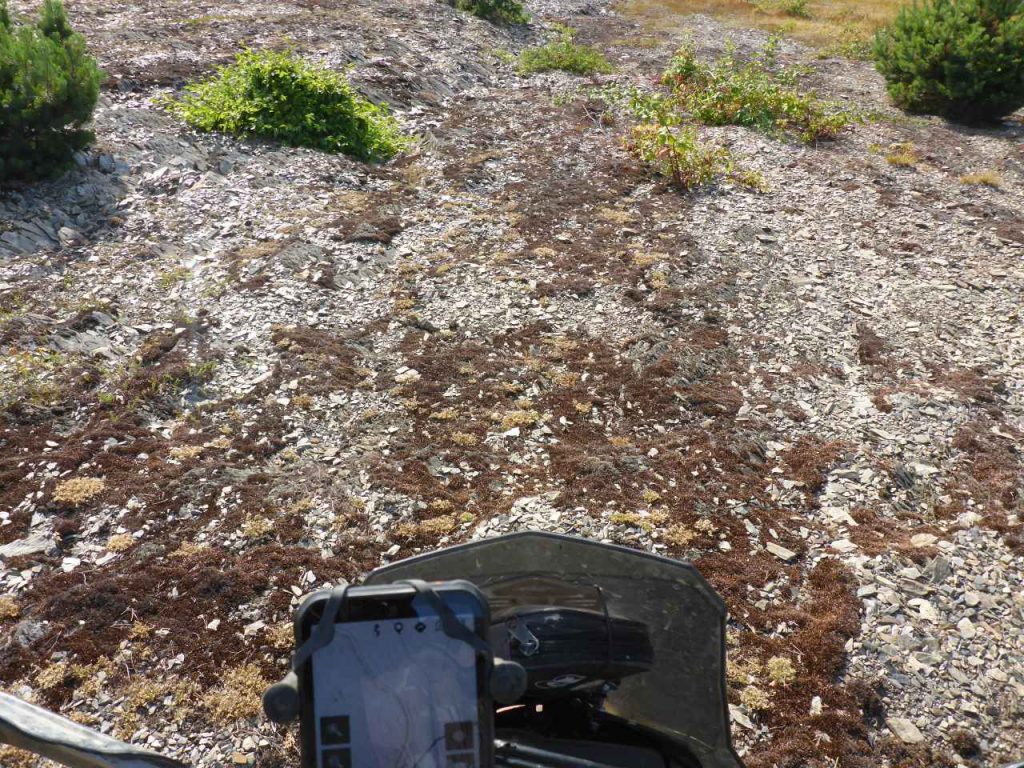
a bit more carefully for avoiding another puncture due to the sharp stones. This surface didn’t last long. At the feet of this hill, the TET track followed through a very dense …
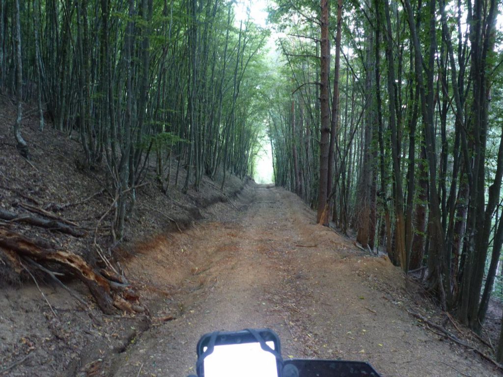
forest part and ended at this …
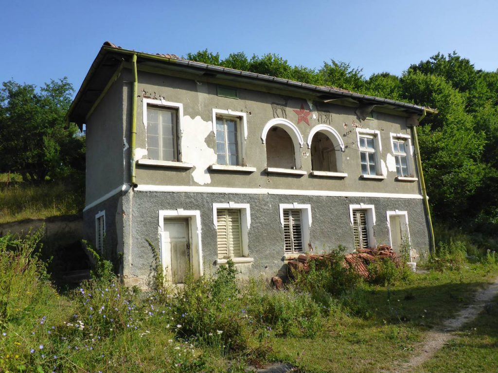
old hunter’s house with a mighty old school former…
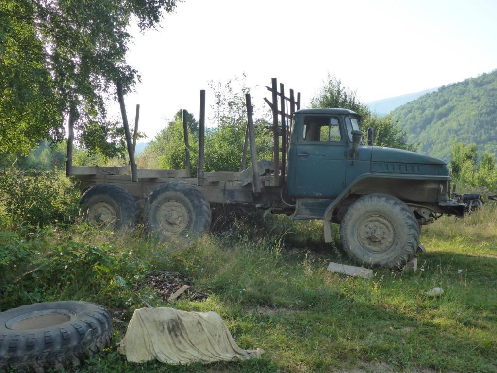
soviet truck parking next to it. Short pieces of TET, Bulgaria …
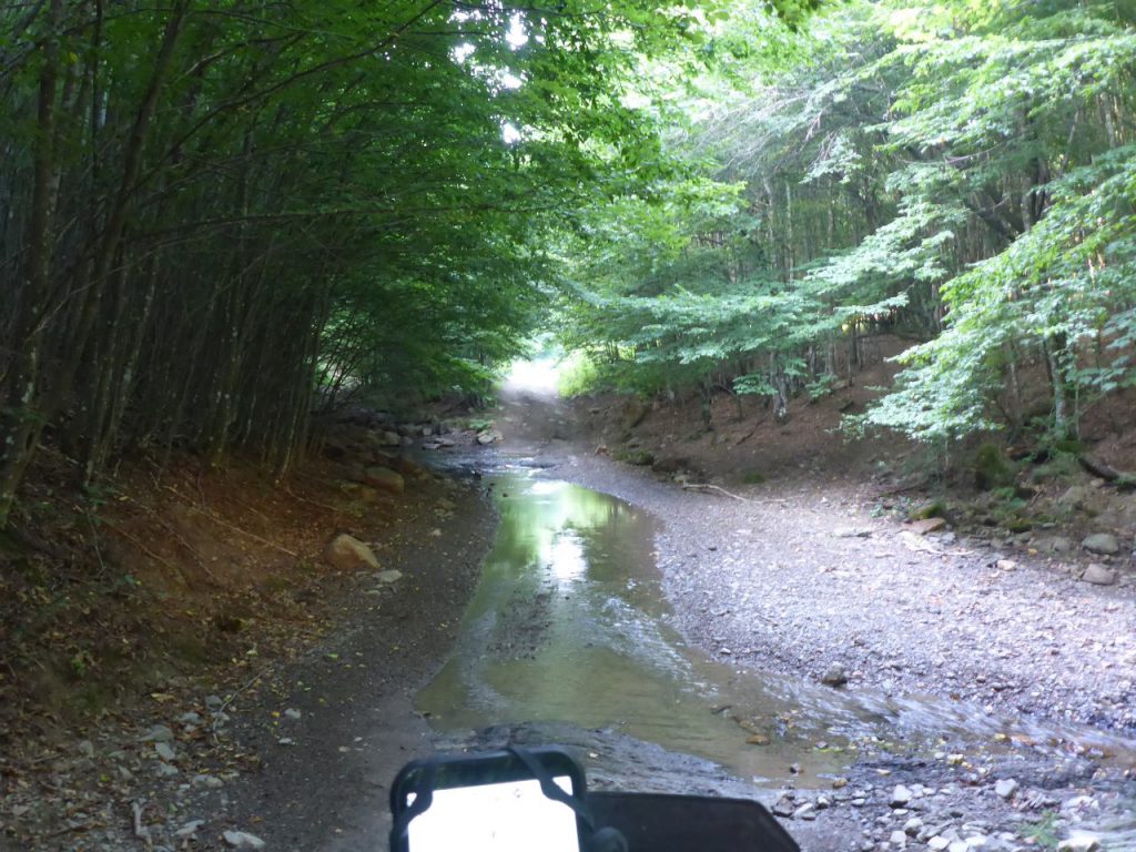
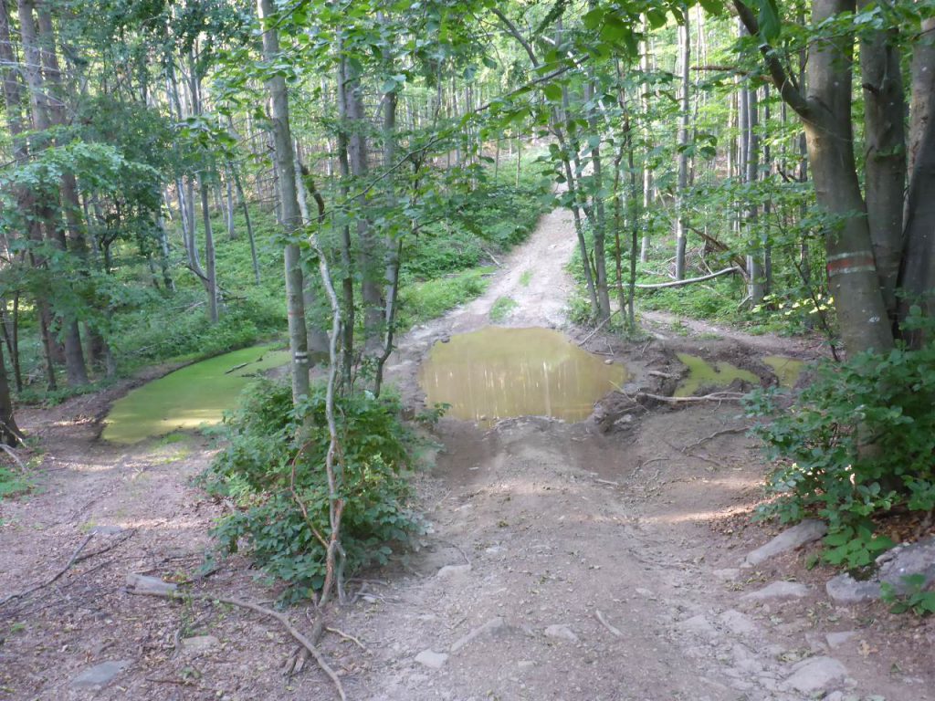
followed now this river bed/crossed it a few times. I assume this part istn`t rideable along the raining season due to higher levels of water combined with very soft gravel at the bottom of the riverbed. Despite showing …
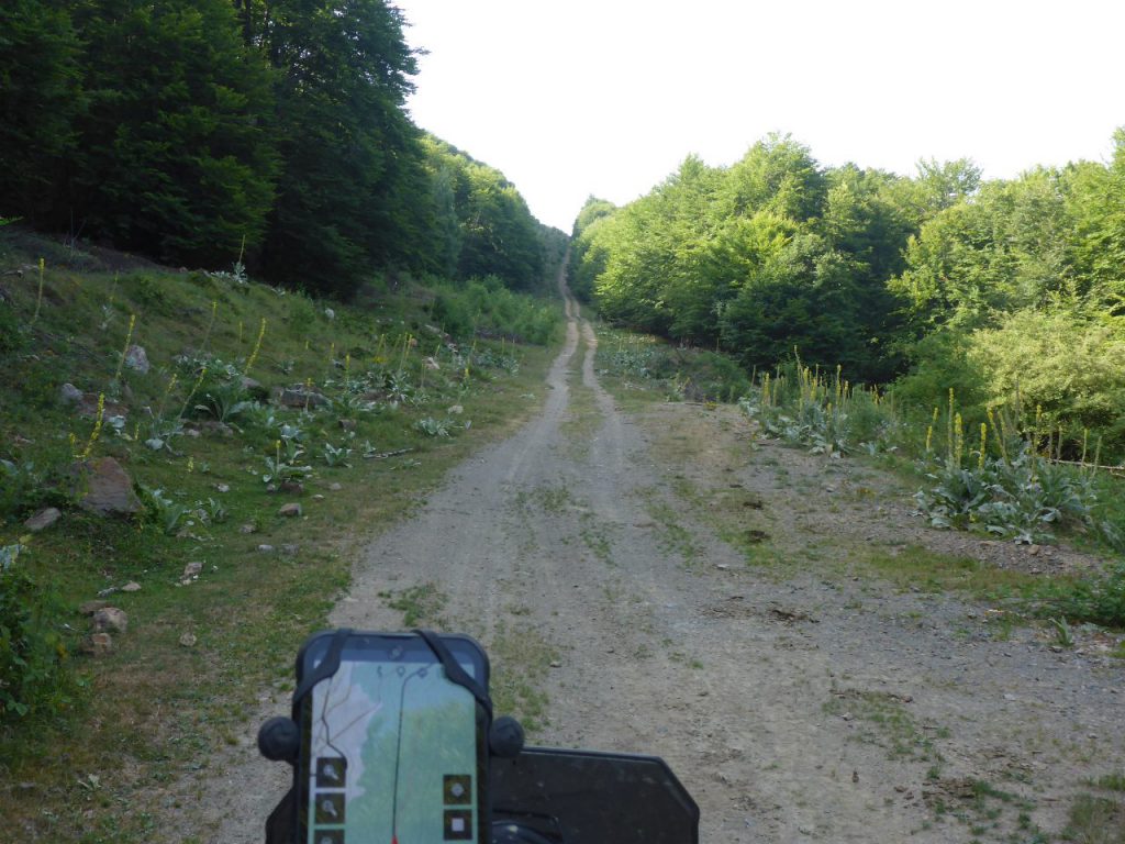
a straight line on the navigation system, it wasn’t an easy ride following this track. It was slanting heavily to the right side, and the last ascent wasn’t without some merit. But finally …
my brave black beauty performed well and tractored us both up that hill, just for …
climbing two or three other, …
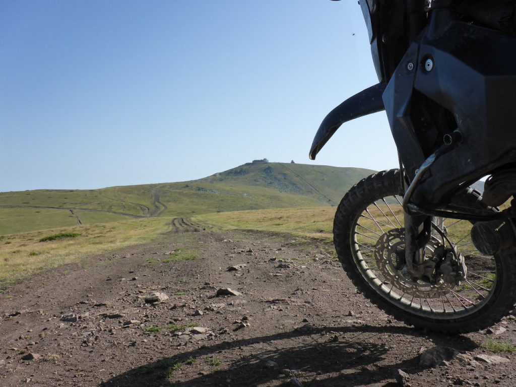
much higher hills and plateaus. Around 10:30 o’clock …
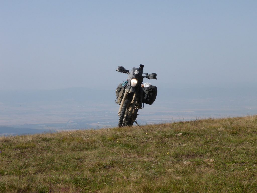
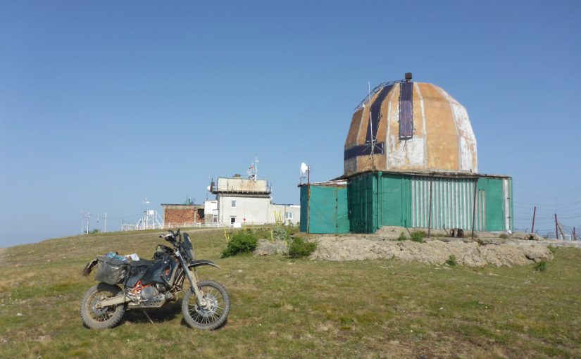
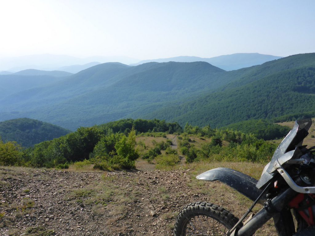
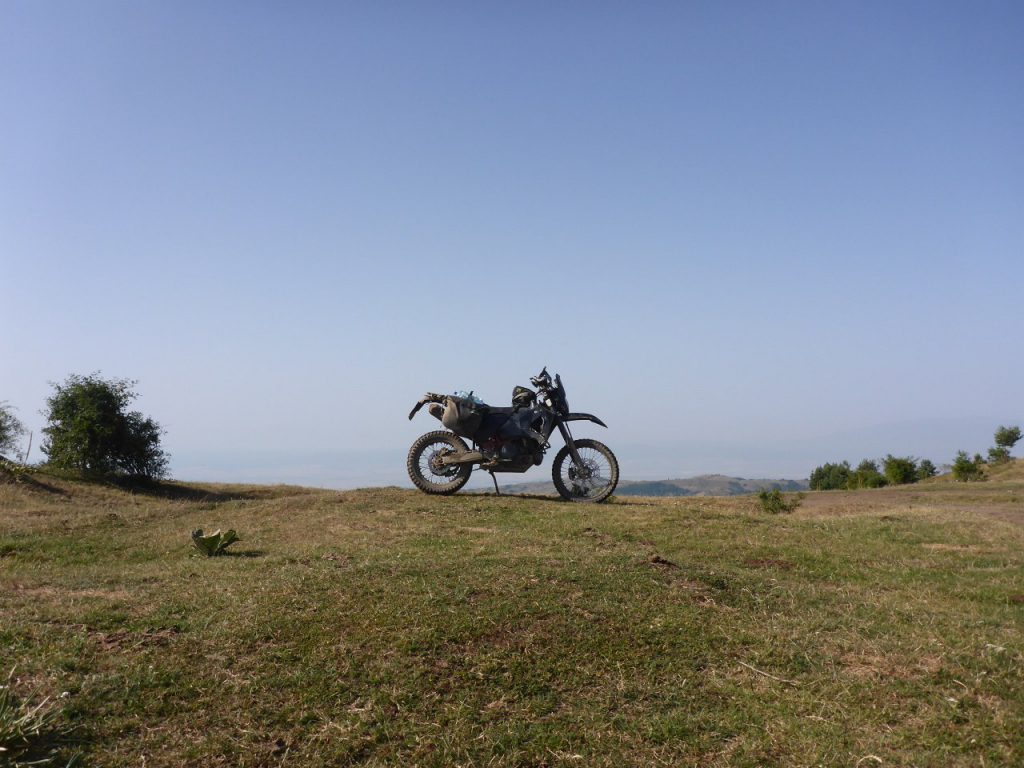
Чернотa and I arrived at one of the highlights of this riding day: The …
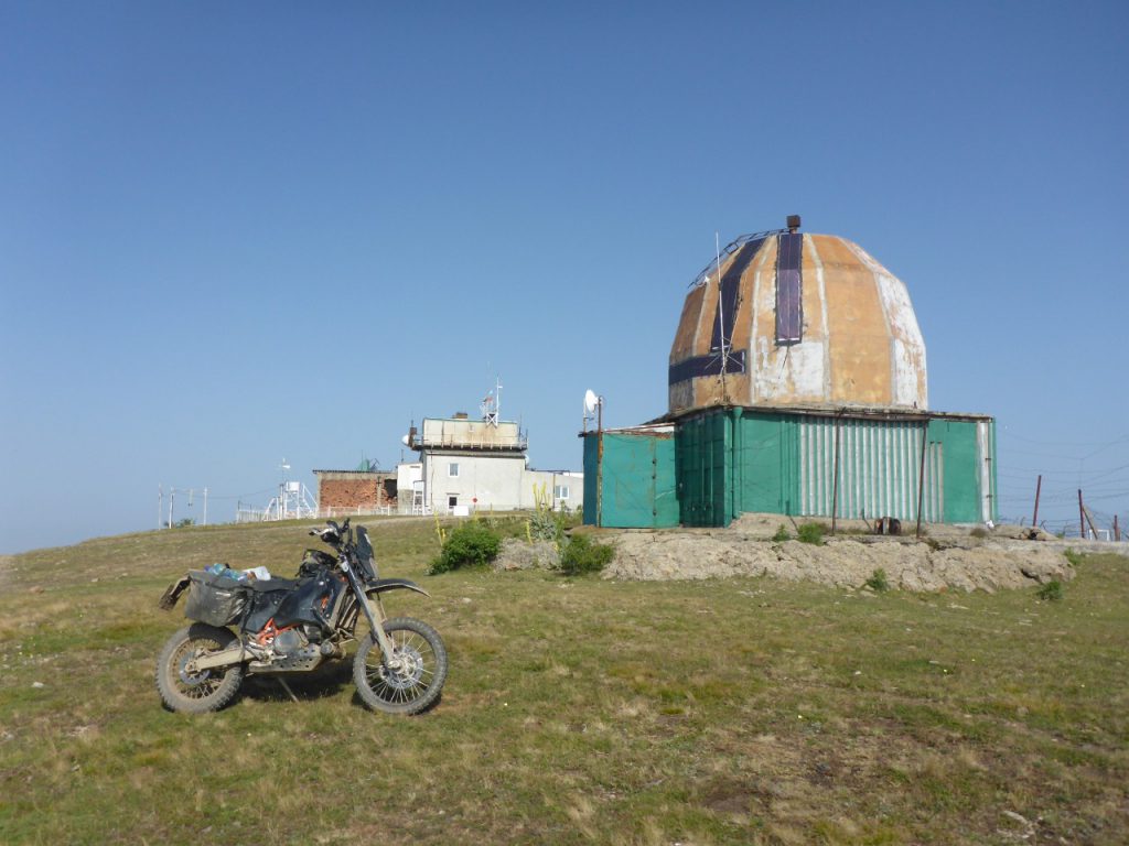
weather observation station of Murgash Peak, which lies at an altitude of 1687 m or 5500 ft.
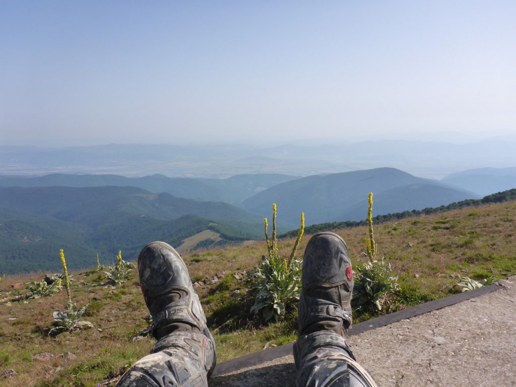
The temperature at this altitude was still cool for the first half of this day, so I made a break near the weather station and enjoyed the view, whilst inhaling the fresh air, blown from a soft breeze directly in my face.
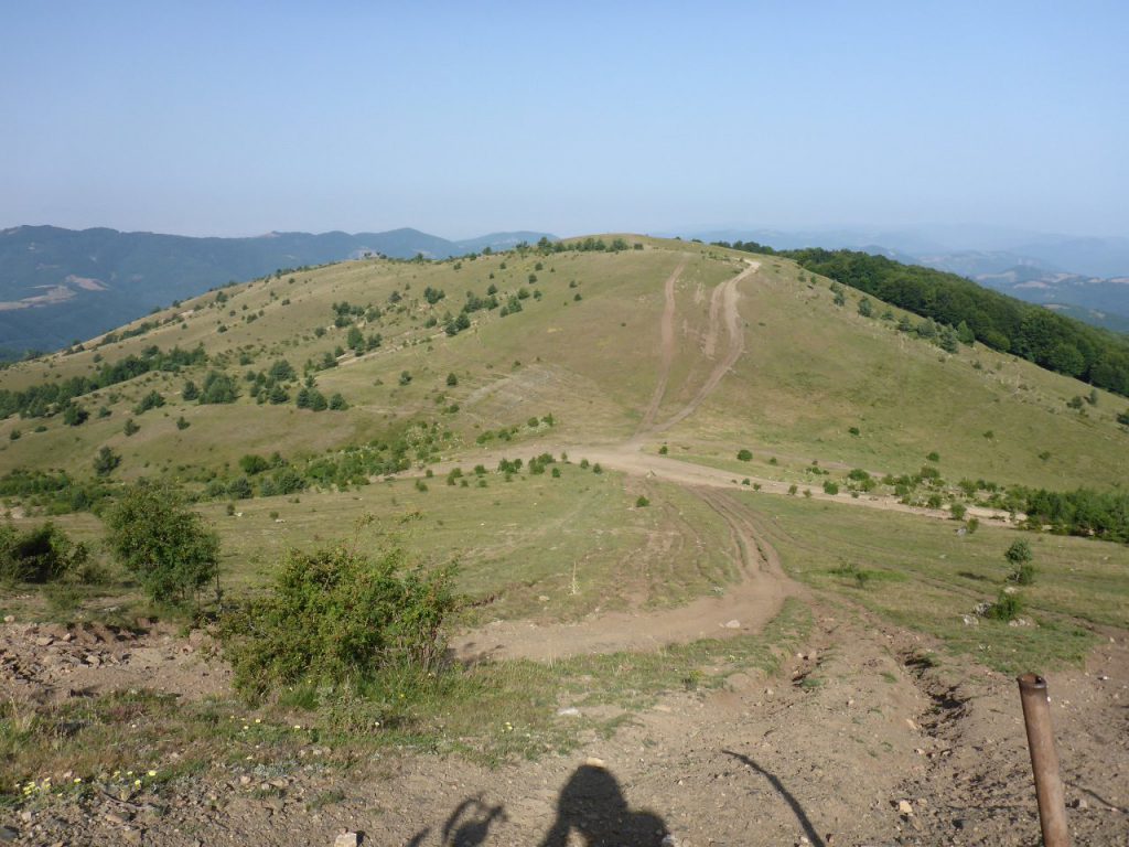
Чернотa rested well too. When the brake was over, we followed a seldom used trail down the hills …

until entering …
another forest which was far bigger than the last one. In this forest we met …
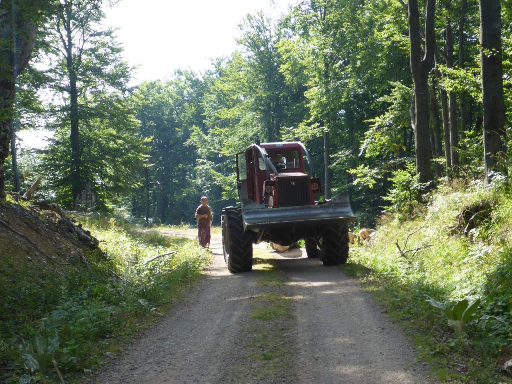
lumberjacks which were pulling wood out of the forest. Near …
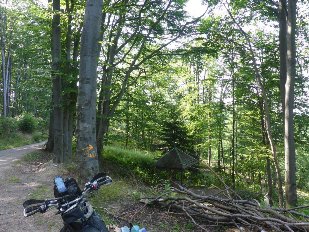
a storage place for harvested wood, I recognized the orange arrow painted on a tree, accompanied by the Letters “H2O”. The hint was clear: “➡ Water”. Just a few meters downhill …
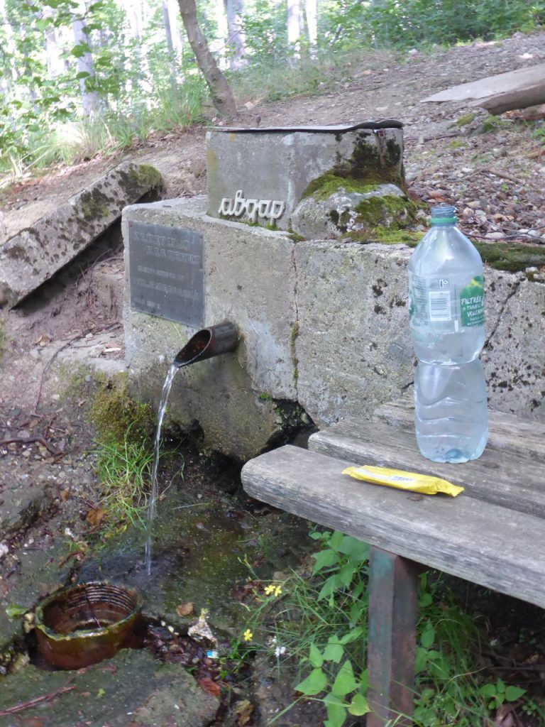
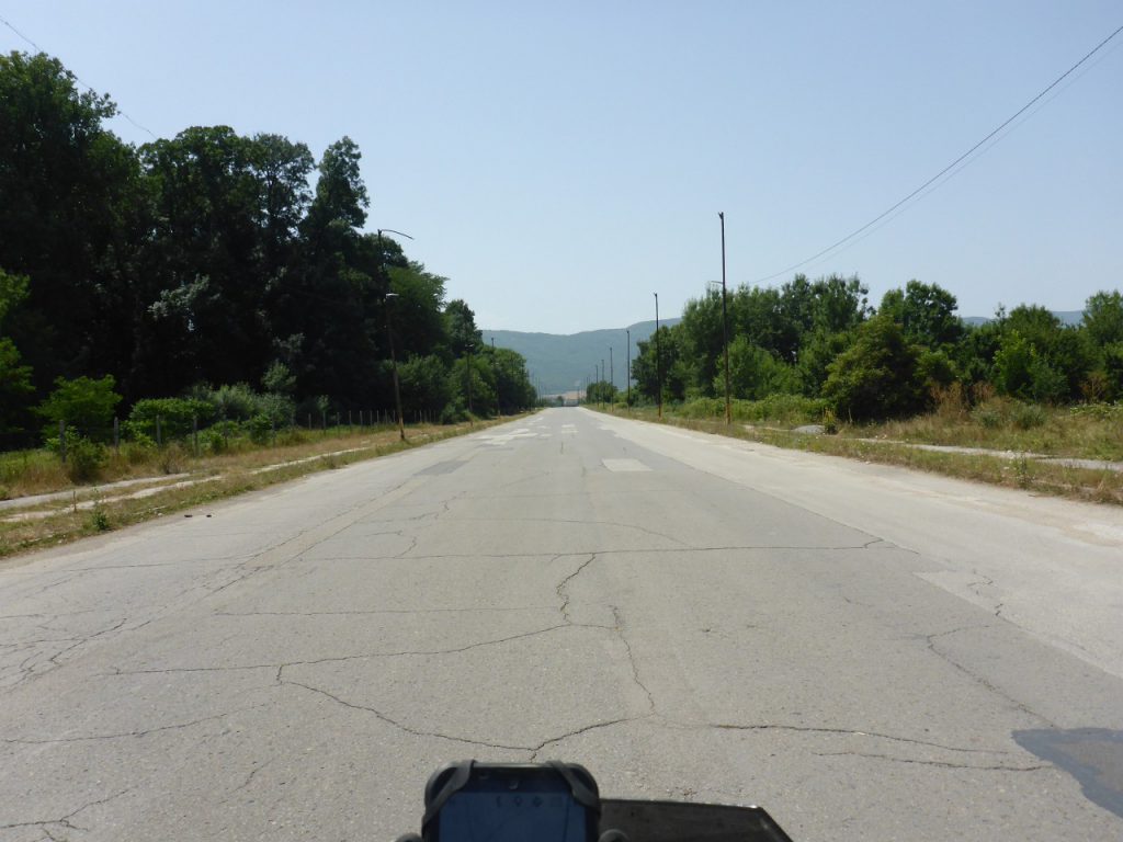
was a small well located. I refilled all my water bottles and had a cereal bar for late breakfast. The heat was already immense in this lower area of the hills. Very abrupt ….
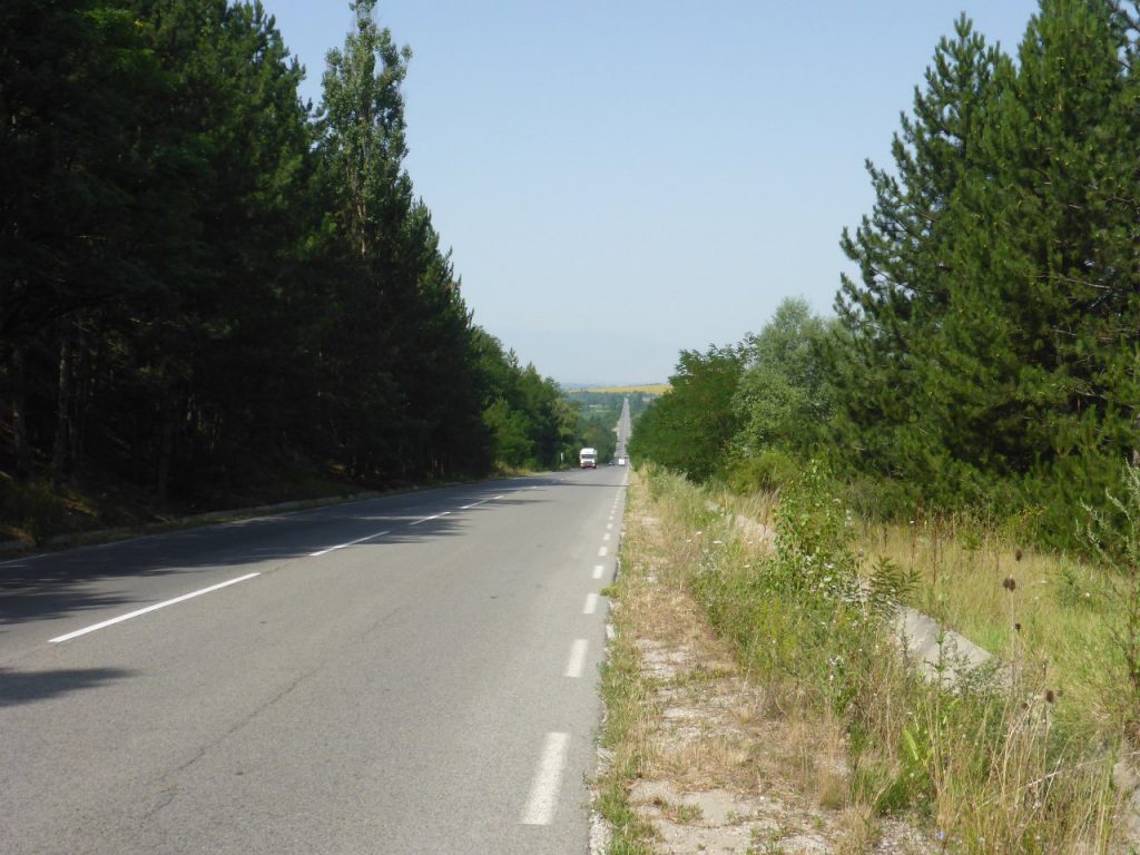
the trail ended in a long tarmac straight. I decided to follow it …
till reaching the next fuel station. According to freshly updated POIs on the storage of my navigation system ….
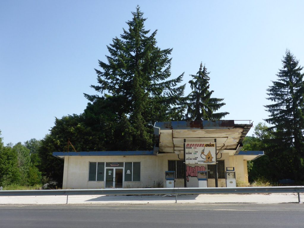
this fuel opportunity was still existing, but obviously it was closed a long time ago. So …
I continued the ride, which led us now along a former ,,,
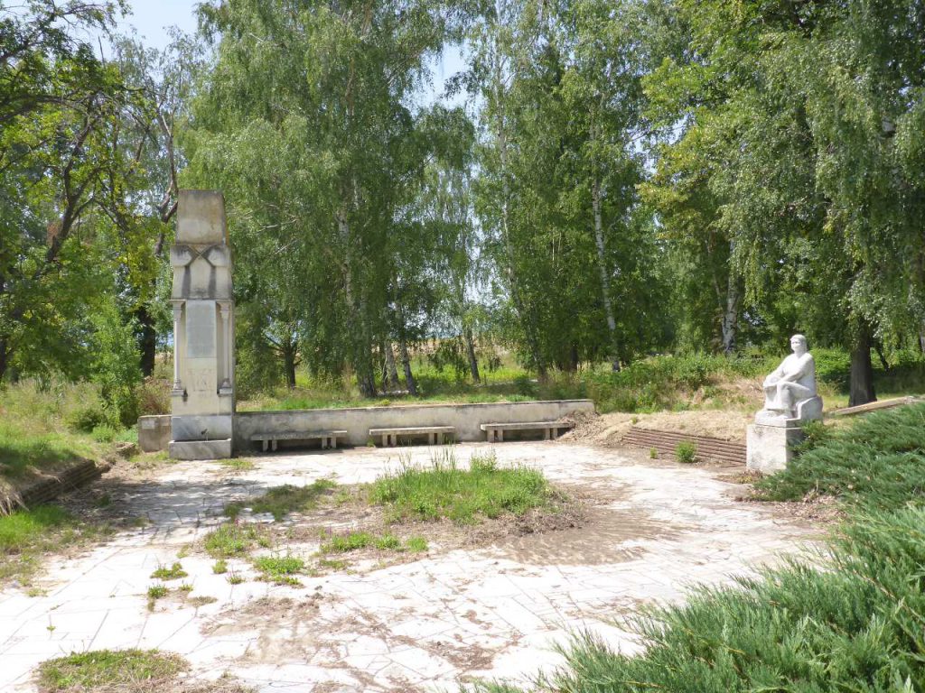
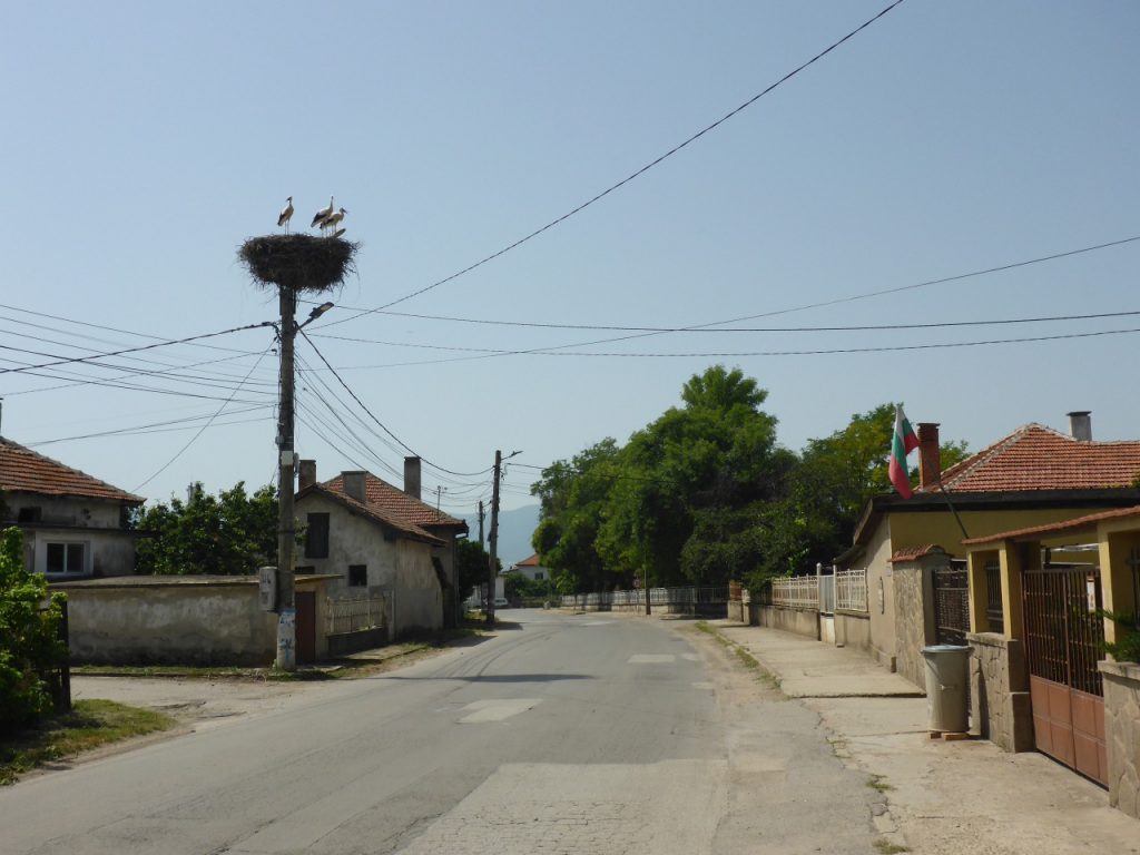
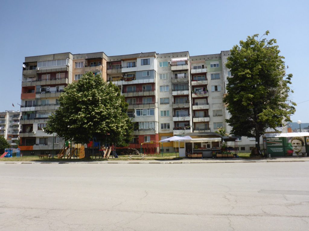
communist monument and small villages …
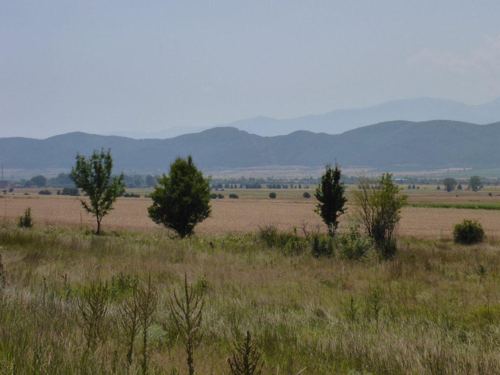
scattered between the hills and plains. After a detour of about ….
50 kilometers or 30 miles I found right at the eastern edge of …
the Bulgarian Capitol Sofia, an opportunity for fueling up the nearly empty tanks of Чернотa. It was already midday, when …
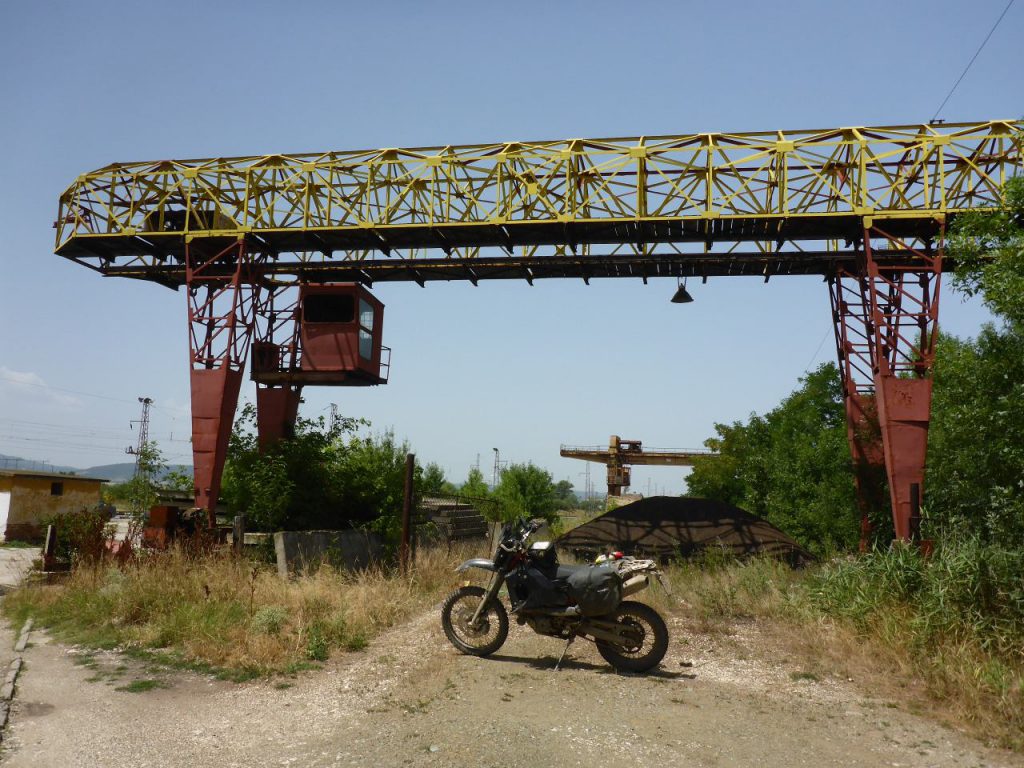
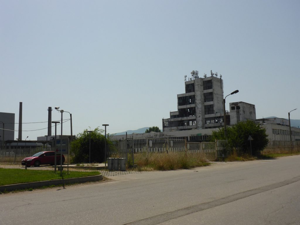
Чернотa and I stopped in an old factory property aside the route for a potty break. Such lost places are very common near the bigger cities in Eastern Europe. Looking back, one of my favorite ones was located along TET Poland, which was inhabited from little goats: ➡ CLICK ME HARD 🐐!
Interested in my doings? Than feel free to join my social media channels for further updates! ➡