“SWAMP- AND WASTELAND“
(Part 1)
Back in 2019 I already did the eastern and central part of the Trans Euro Trail (TET) Hungary. Because the Hungarian linesman is very productive, there appeared a few more TET sections in Hungary since.
I had two days off, so I made in Summer 2020 the decision to give the northern section of TET Hungary a try. It is leading from the Three-Country-Border-Point between Hungary, Austria and Slovakia straight to the Hungarian capital Budapest. This is the report about my first day along this short adventure …
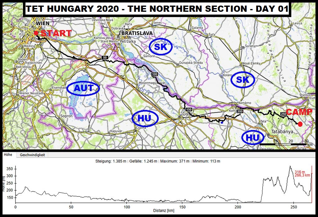
Route Day-01: Our starting point was Vienna, from where we started our tour through eastern Austria, mostly along some back country roads, until we reached the three country border point between Hungary, Slovakia and Austria. Right there is the entrance to the Northern Section of TET Hungary.
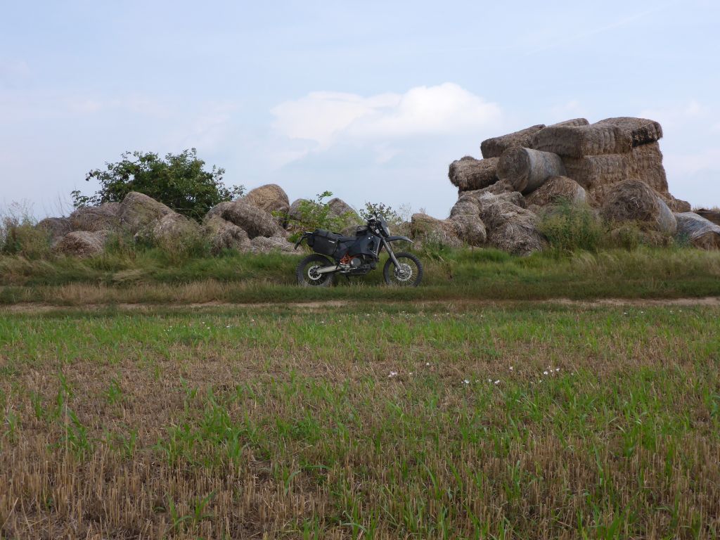
The TET-Trail itself is following most of the time the northern border of Hungary, which equals the stream Danube and its flooding zones. Only about one third of this section leads into Hungarys back country. That means, that there are plenty of swamps, gravel and sand along this route is predictable. The main goal of the day was, reaching a nice camping spot on a rocky hill in northern/central Hungary.
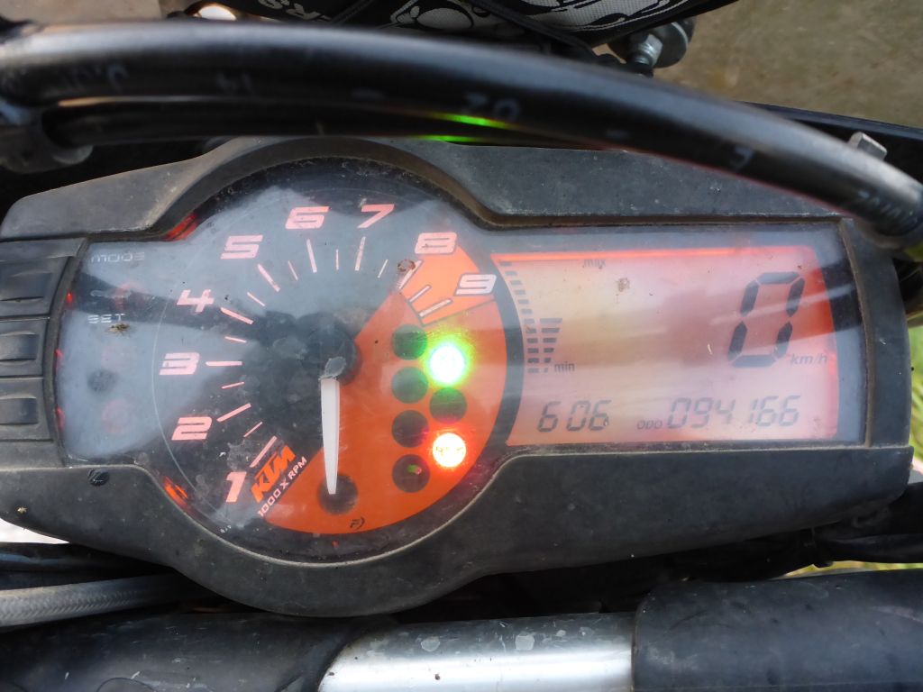
Around 0600 in the morning I fired the already packed LC4 and started into the first km along this trip. We followed some …
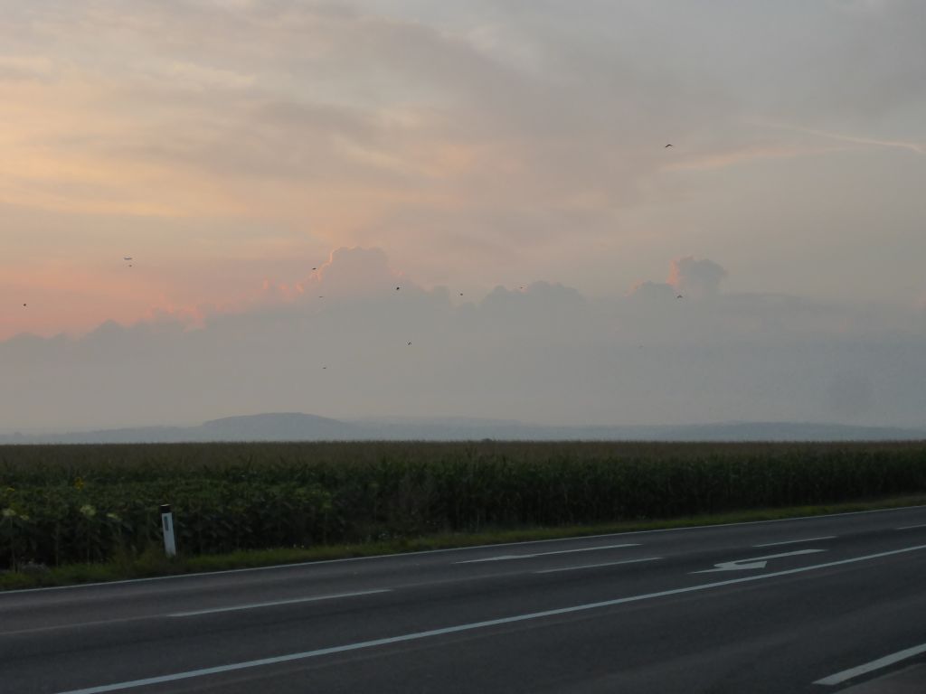
well paved tarmac roads eastwards through Austria …
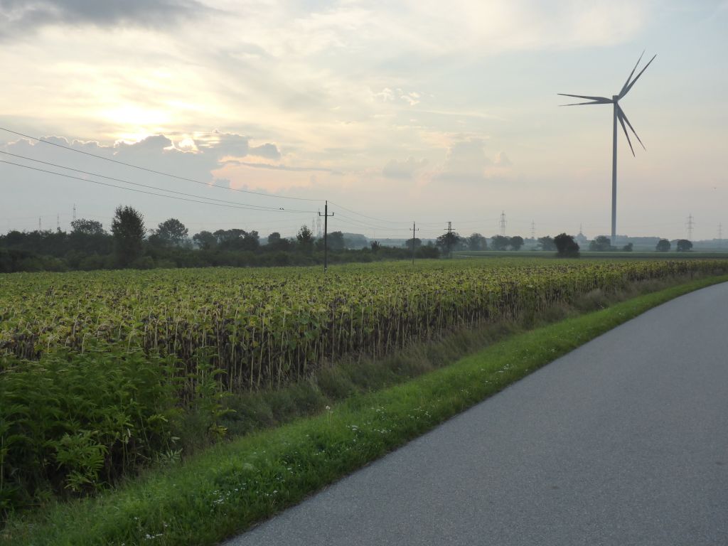
and enjoyed the light-play, …
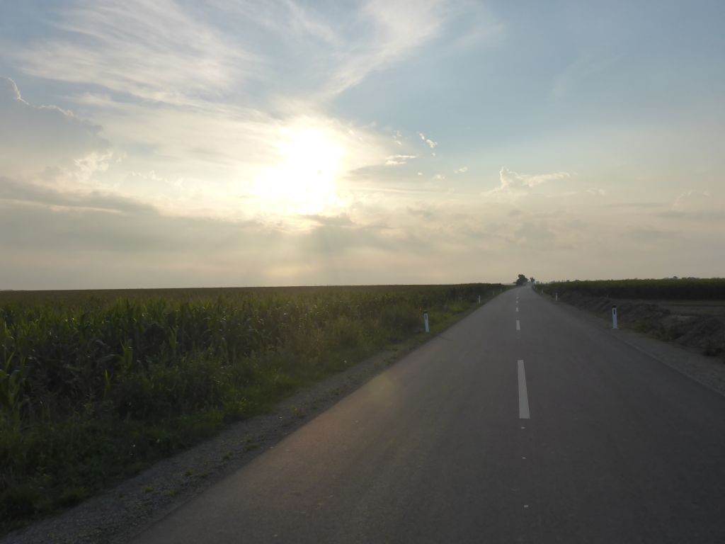
which the low standing sun and the clouds delivered.
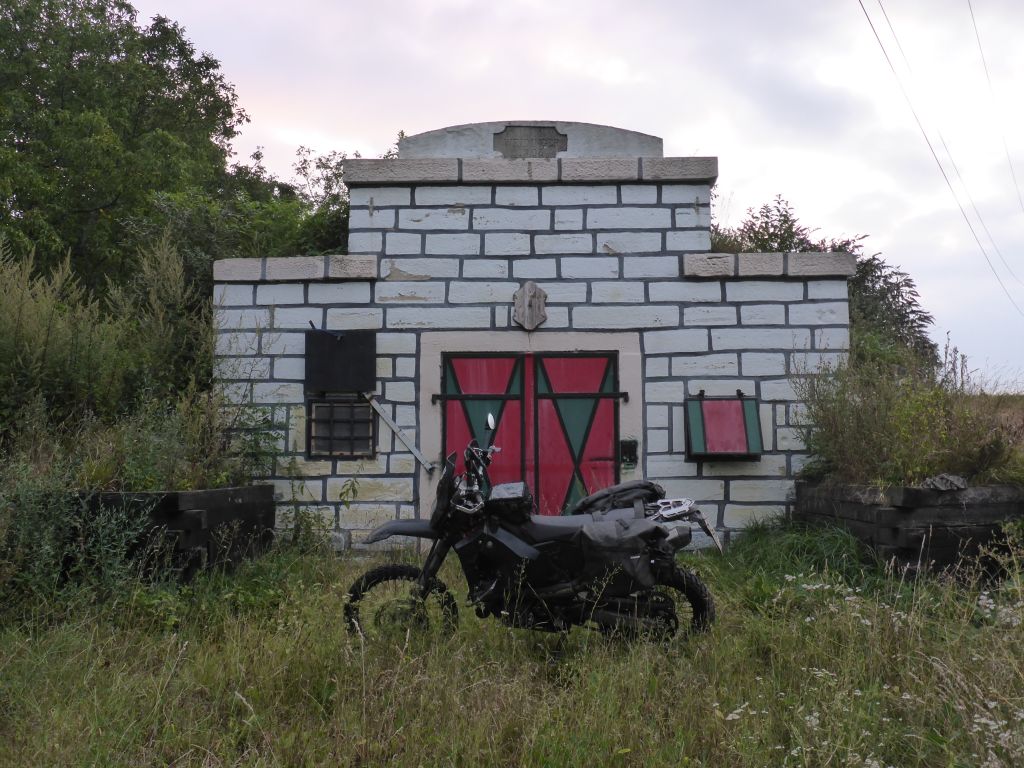
Somewhere in the northern part of Austrias state of Burgenland, we found this strange little “Western Hut” aside a gravel road. Probably it is kind of a wine cellar, with a small …
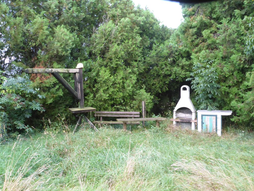
party location in its overgrown yard in front. I’m still not sure why there was this gallows tree with a construction helmet on top positioned. *shrug*
Just a few miles later, we reached the …
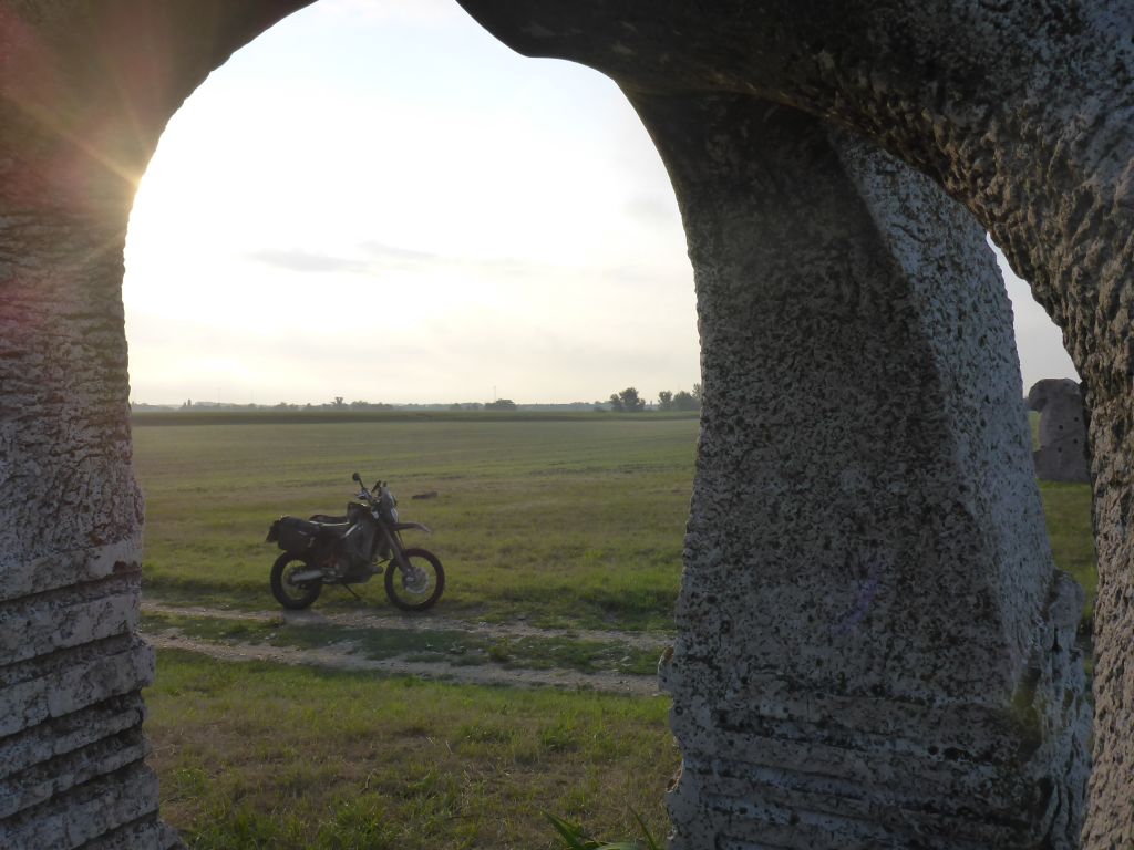
border meeting point between Austria, Hungary and Slovakia. At this place, is a little park with a few concrete-art-sculptures located. This arch in the picture above is one of them. Each of the three pillars represents one country. (Further pics, made along one of my earlier visits to this place you will find here: —> The cold Iron Curtain Ride)
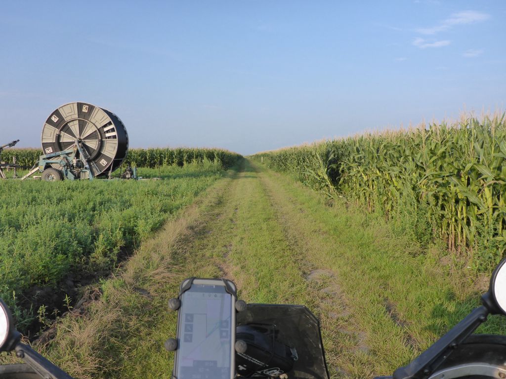
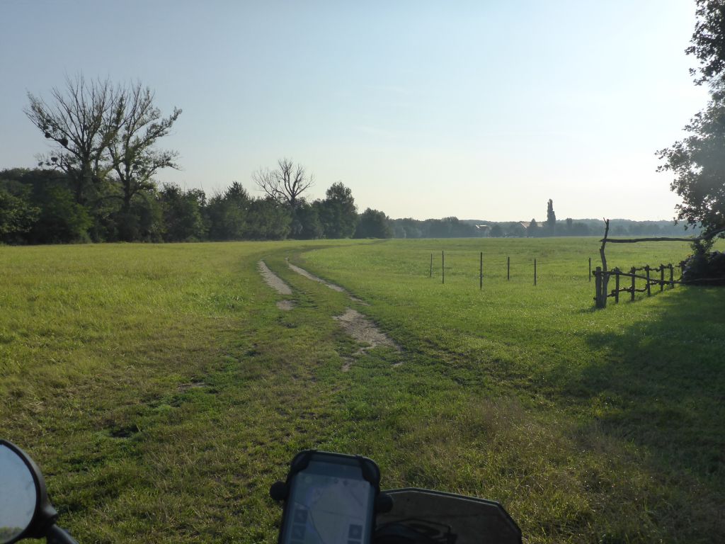
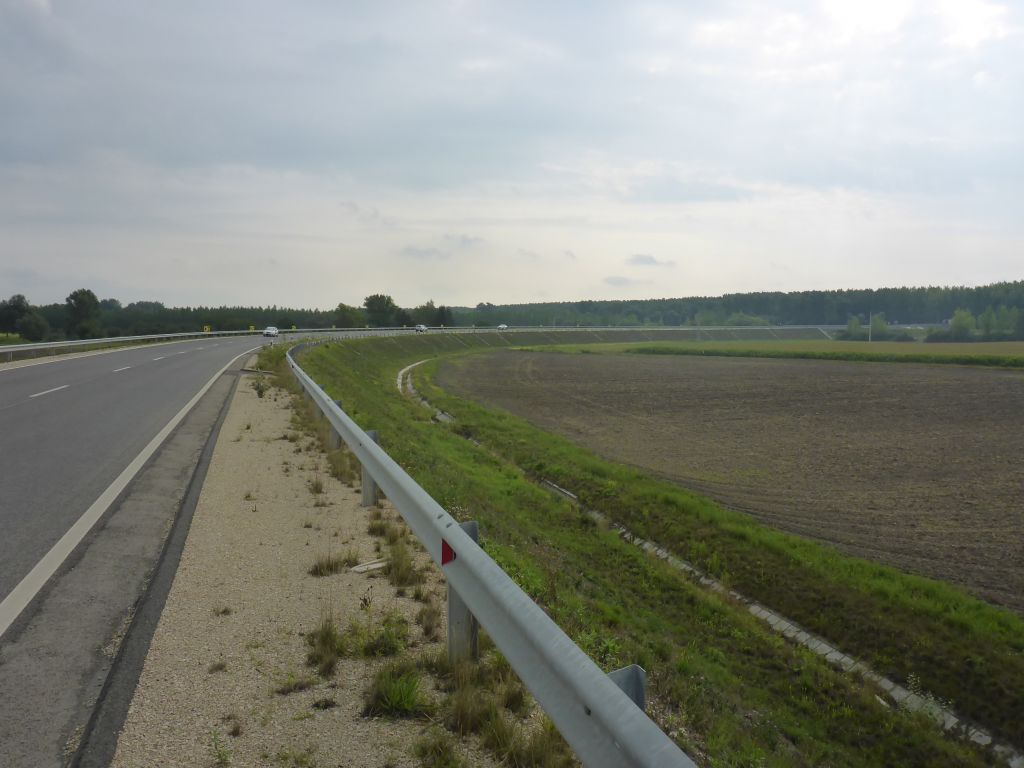
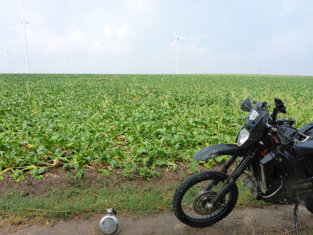
Directly behind the border, the ride followed Hungarys huge fields, which are way bigger than the common fields in Austria.
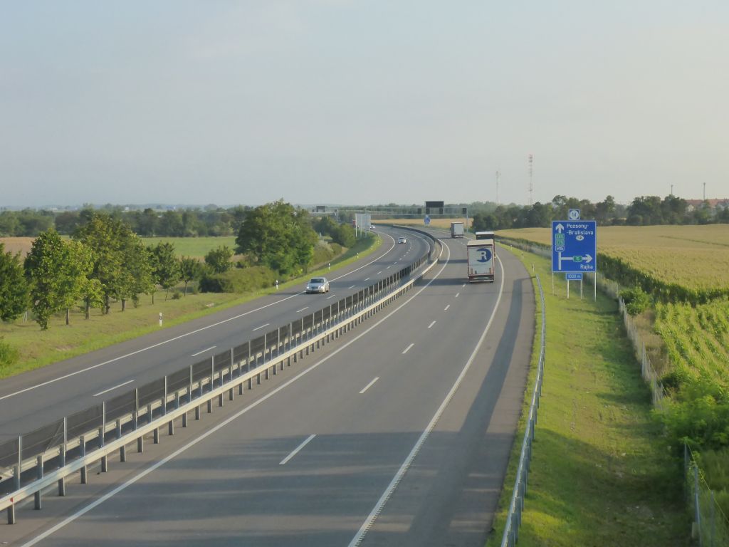
Чернотa and I passed the freeway and followed …
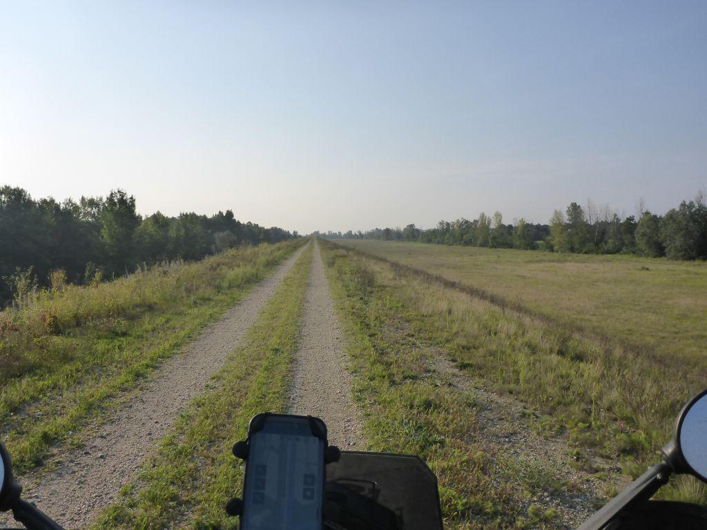
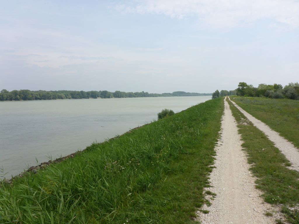
some dams til we reached …
the flooding area of the stream Danube. From now, surely two thirds of the northern section of Trans Euro Trail Hungary, will follow …
this fertile land strip close the stream.
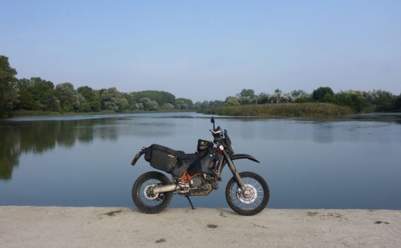
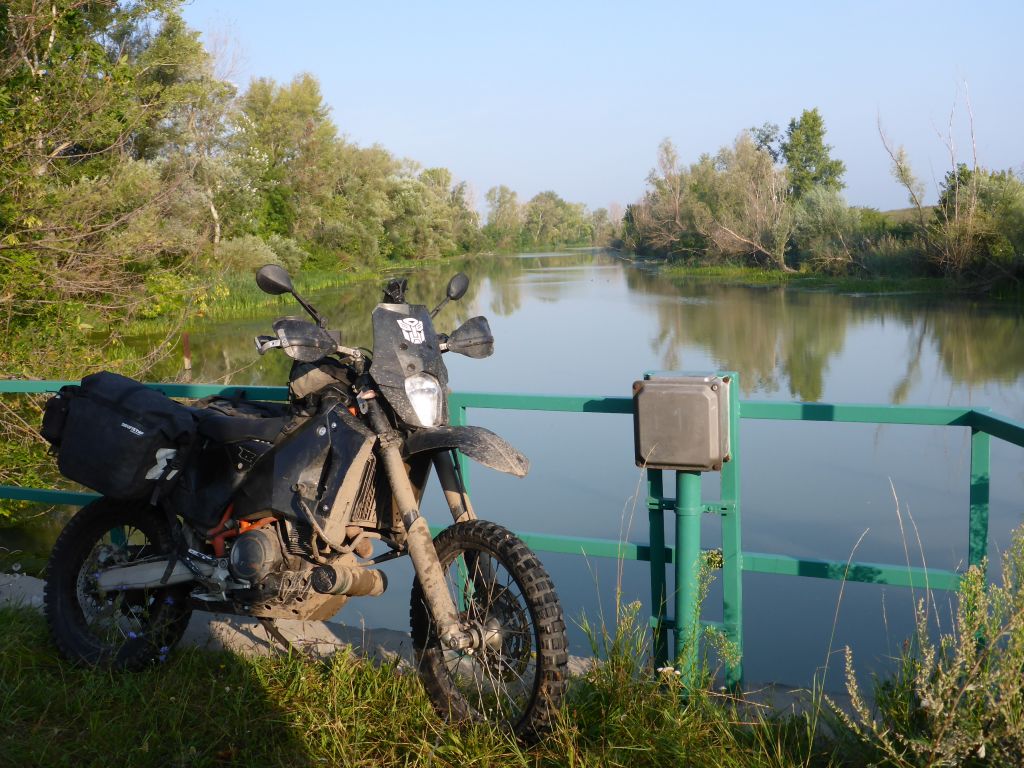
Our first stop was a huge dam called “Dunakiliti-Duzzasztomu“. As far as I was able to find out, this was built for protecting the lower areas of Hungarian villages along the stream from flooding. Its part of a big discharge canal. I took the opportunity …
for staging my black beauty Чернотa on a concrete dam nearby. There I made this lovely shot of the trusty thumper, which is escorting me for nearly five years now. The ride continued …
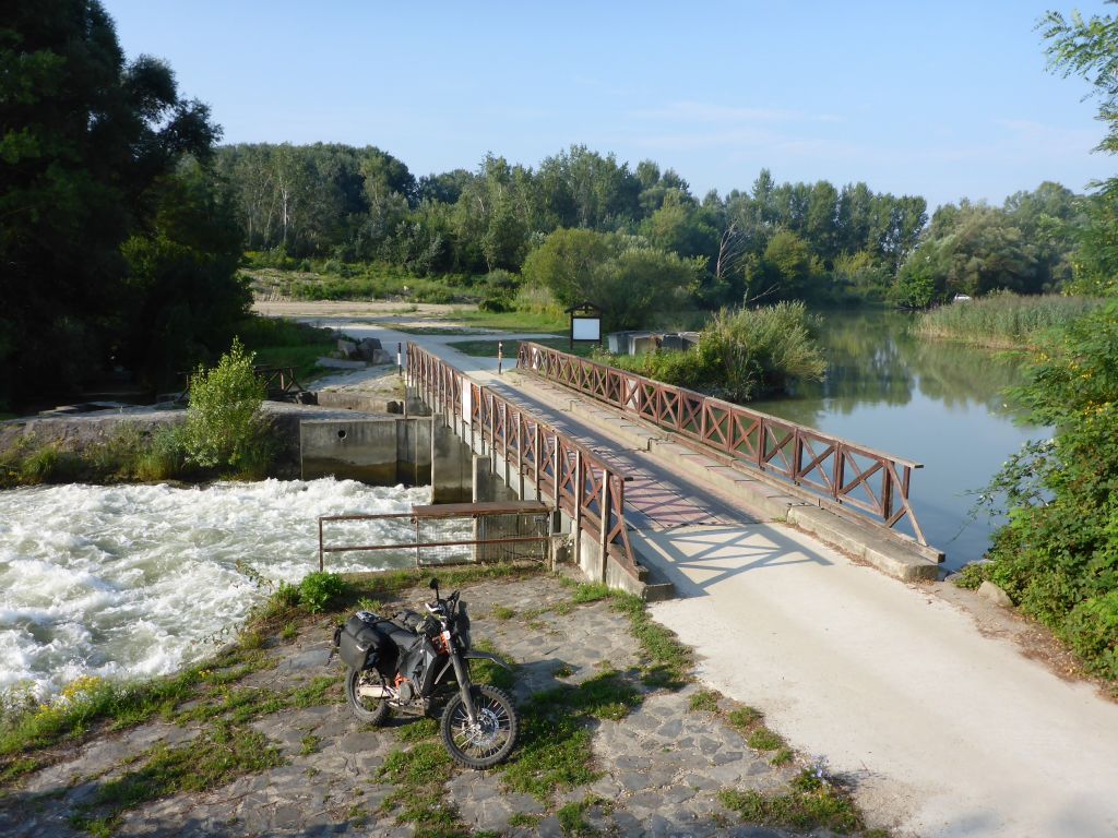
and we passed plenty more of such bridges. The track led us further into the swampland …
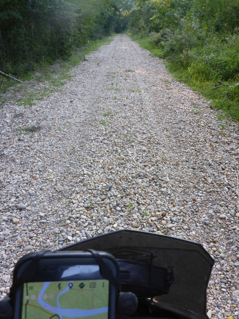
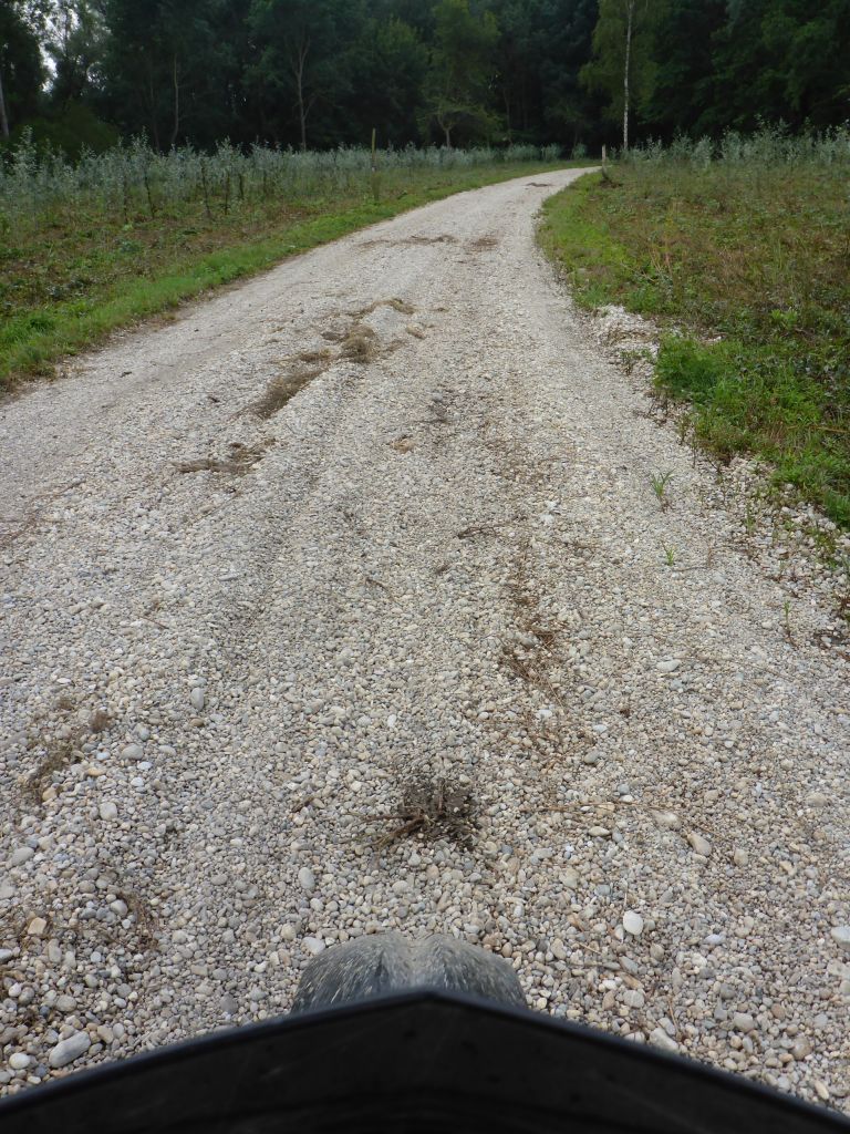
where, big, round shaped and deep river gravel stones was the surface to ride. Believe me that riding along this kind of surface is a very “wobbling” task. ^_^
A few close calls later along this sort of gravel, it was time …
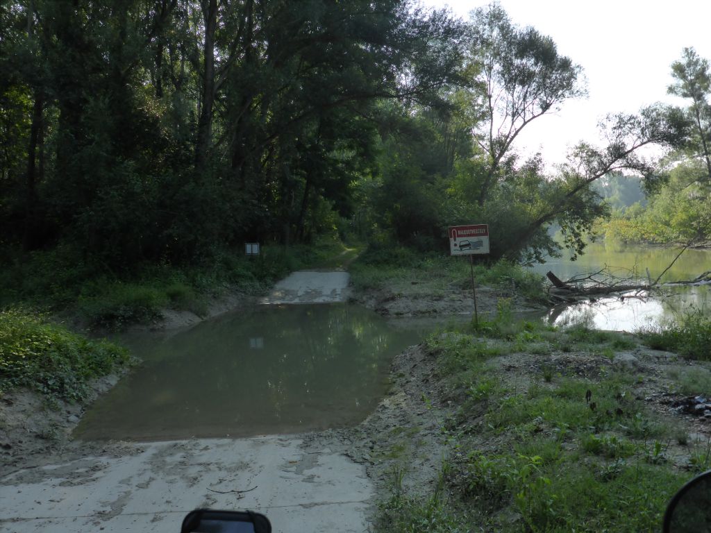
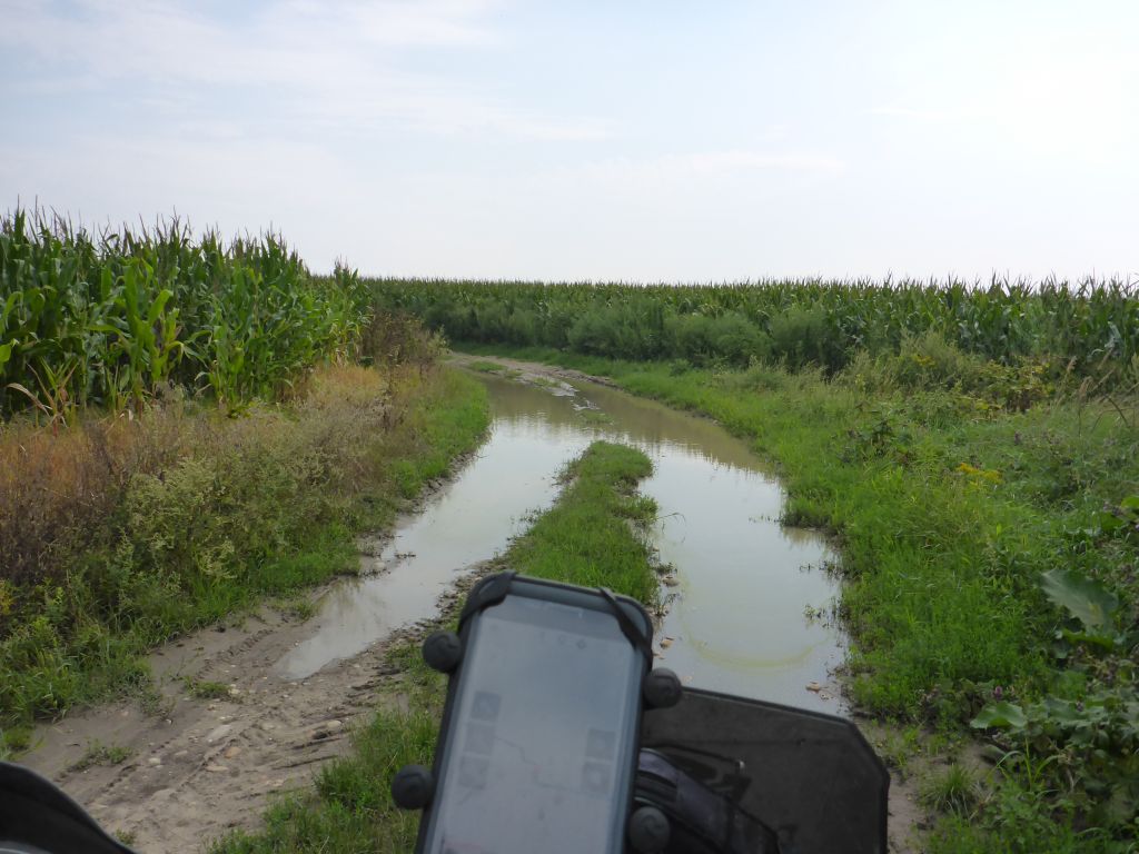
for managing the first river crossing. I wasn’t able to see how deep the water is, so I pre-walked the crossing by feet.
It was about “my-wiener-deep” – which conforms about 90 cm or 3 ft, which anon equals the wading deep of my 690ty. Despite that, the crossing was very short, so possibly dammed up water would not have the time to find quick enough the inlet of the water.
After a bit of thinking I gave it a try and finally it was no big deal to cross this seat-deep creek: With the first gear and keeping the RPM around 4000-5000 Чернотas heart – the LC4 – delivered more than enough torque to tractor itself, the gear and my fat ass through the stick mud on the bottom of the creek and the masses of water.
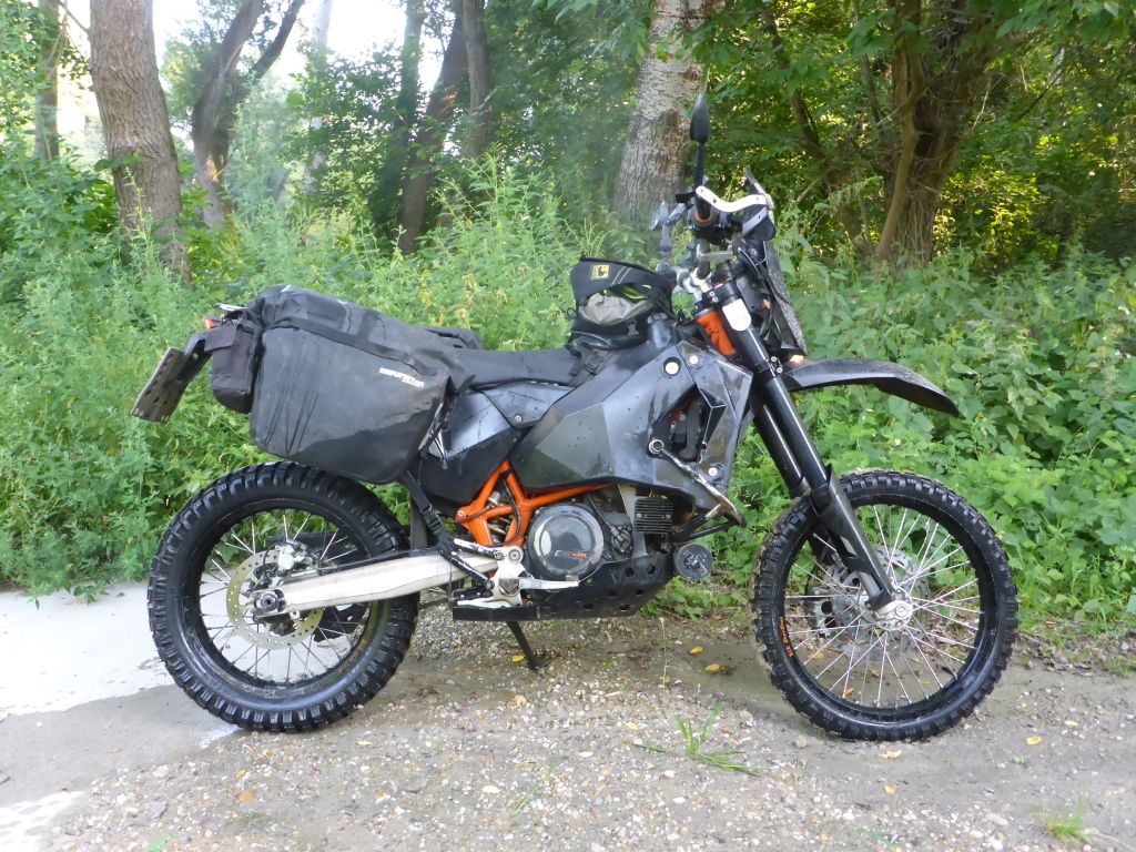
The picture above, which I took afterwards, showed me one thing well: Luckily I never swapped the high original airbox of my 690ty for a lower sport air intake or the extra fuel tank solution (like as an example: Rade Garage is offering).
With such a lowered air intake, deep river crossings like this, would lead into some serious troubles and a lot of wasted time while getting the inside of the engine dry again.
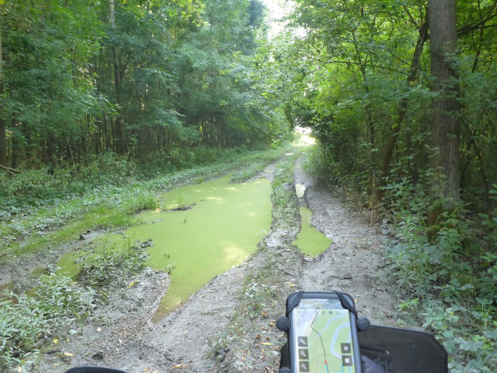
The track turned for a short distance into a proper mud trail.
Another creek crossing later, which was not as deep as the first one, …
we …
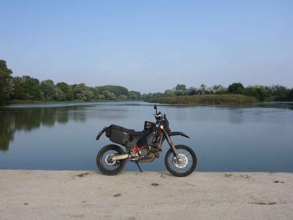
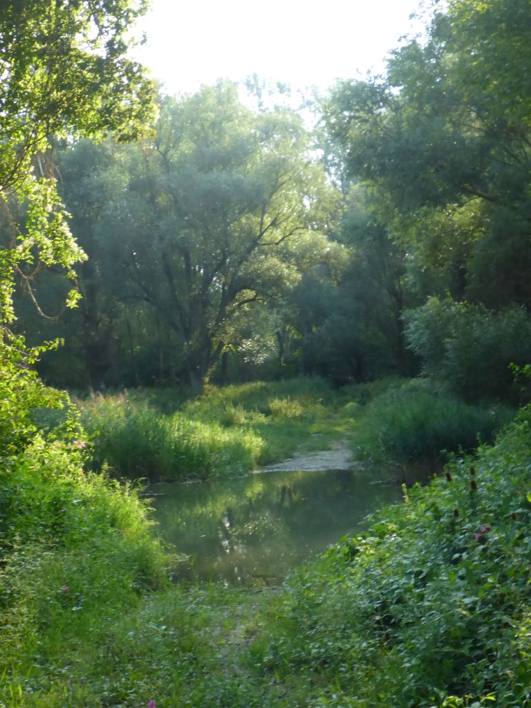
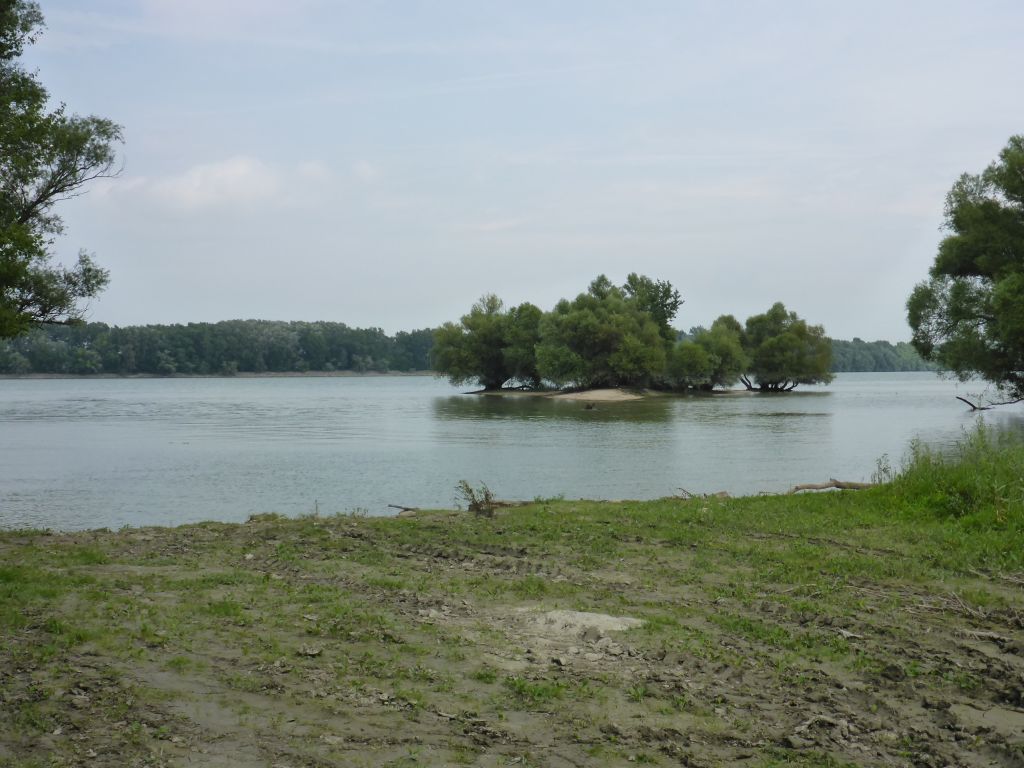
came back to a bigger …
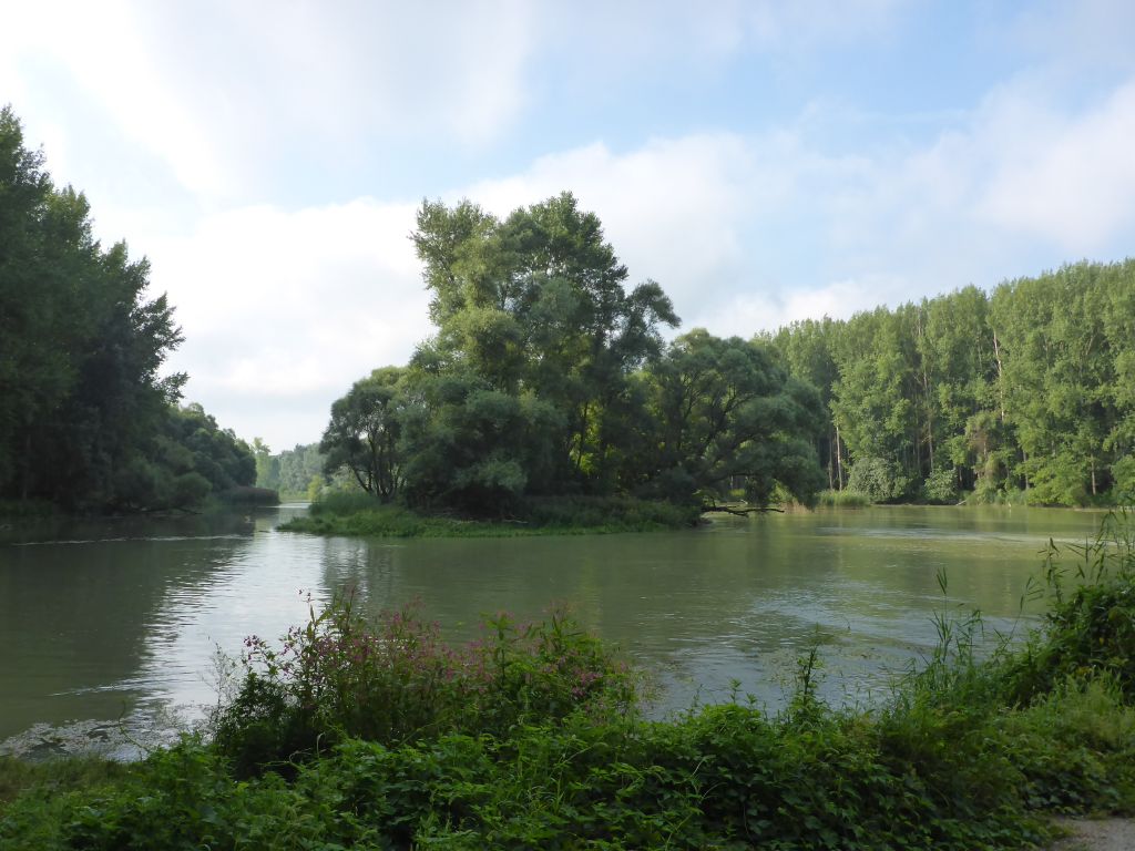
side arm of the river Danube, where …
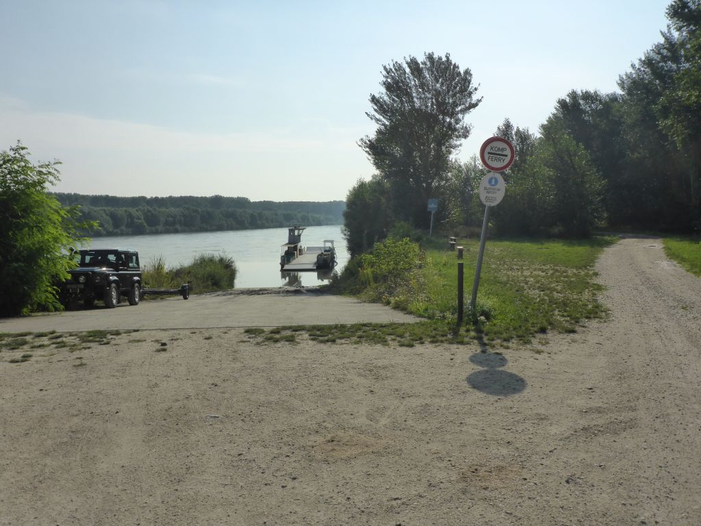
this disused ferry boat is located.
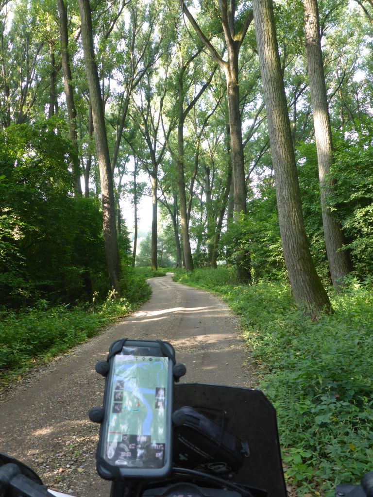
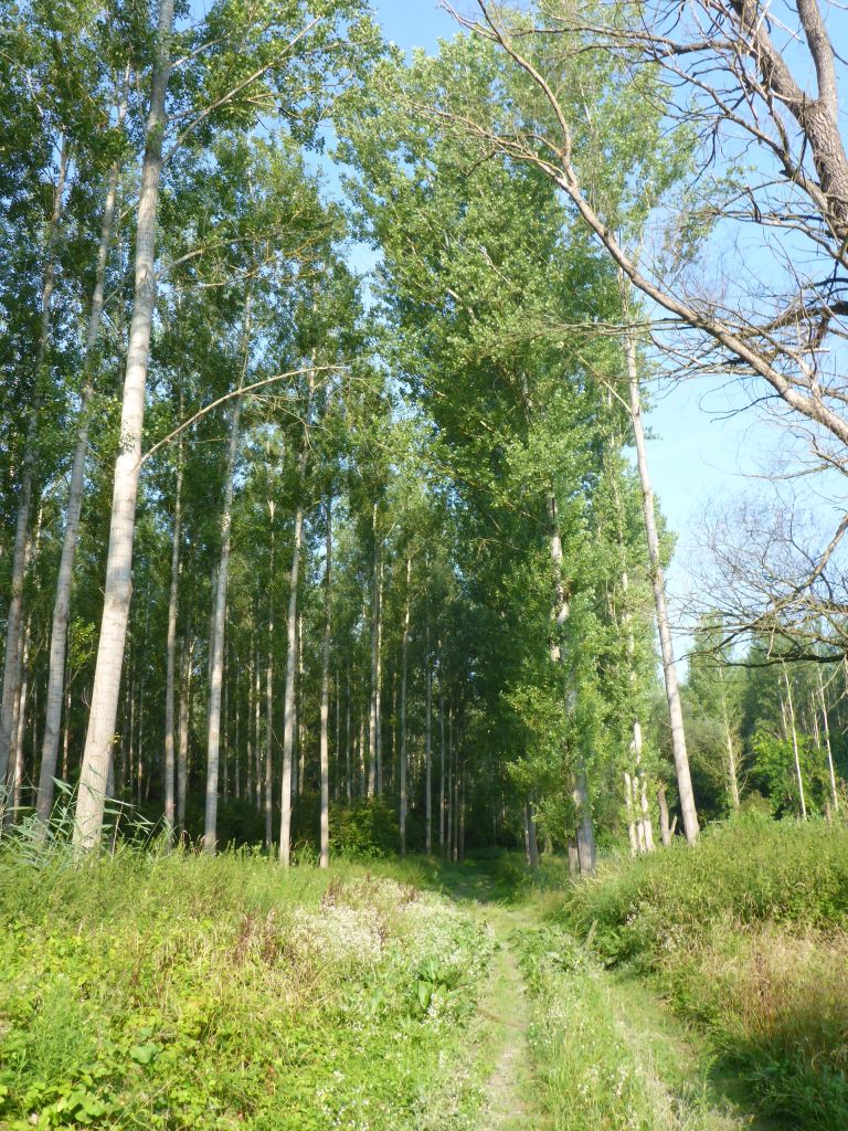
Чернотa and I rode on …
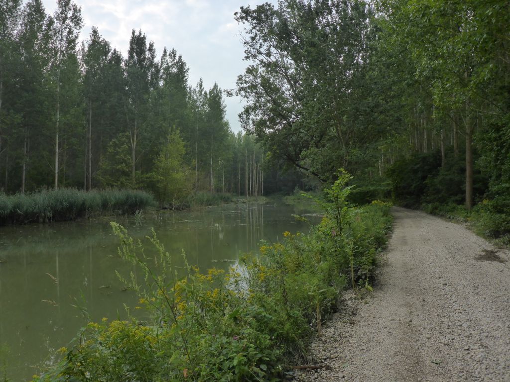
through river side forests …
and plenty more of wobbly river-gravel …
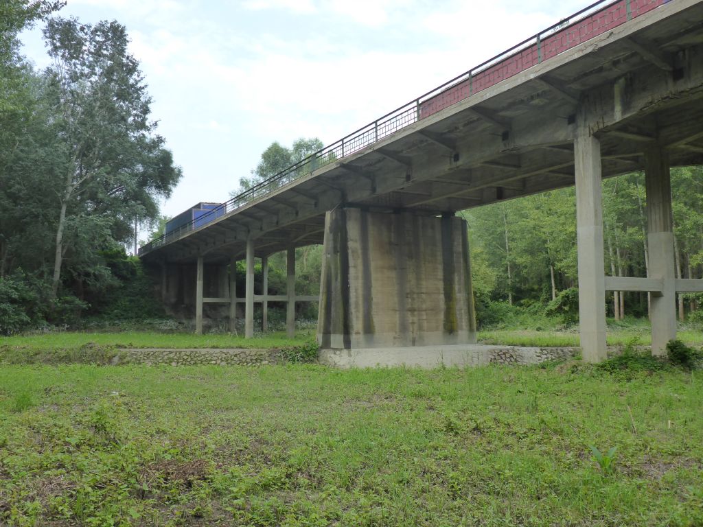
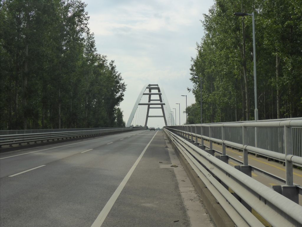
until we reached this bridge of a back country road. A closer look …
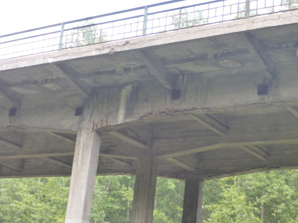
showed that, the concrete bridge is highly in need of a new paint job. o_O
Arround the time of midday ….
we came back to …
civilization. I took the opportunity …
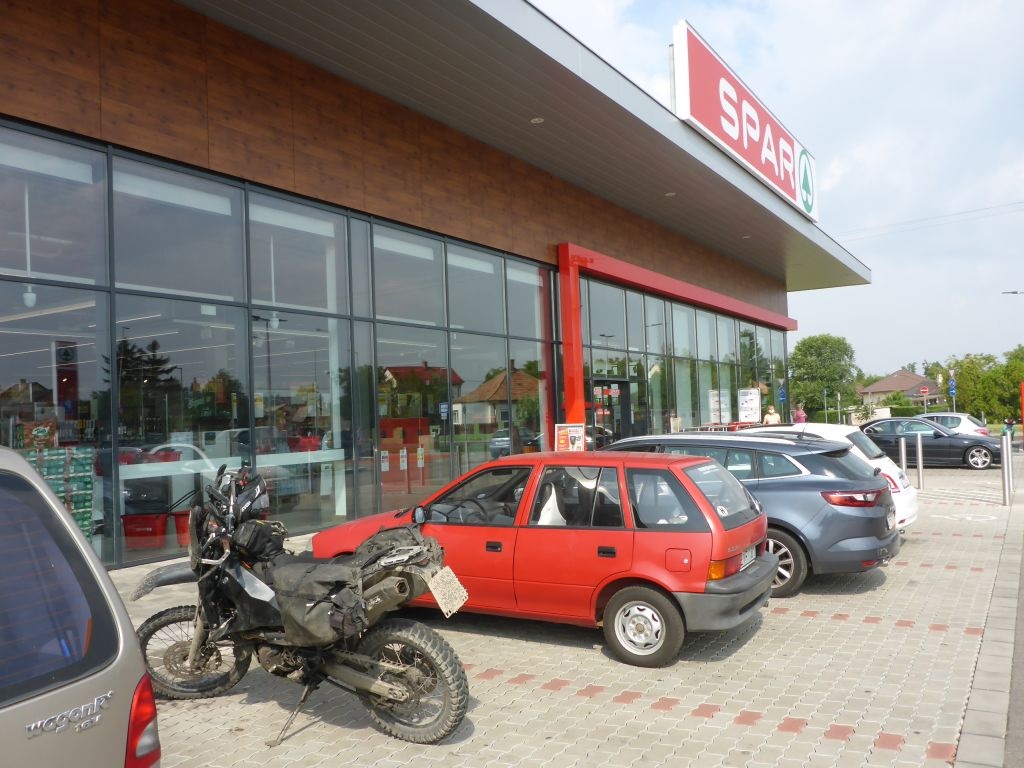
for having a stop at a supermarket aside the trail.
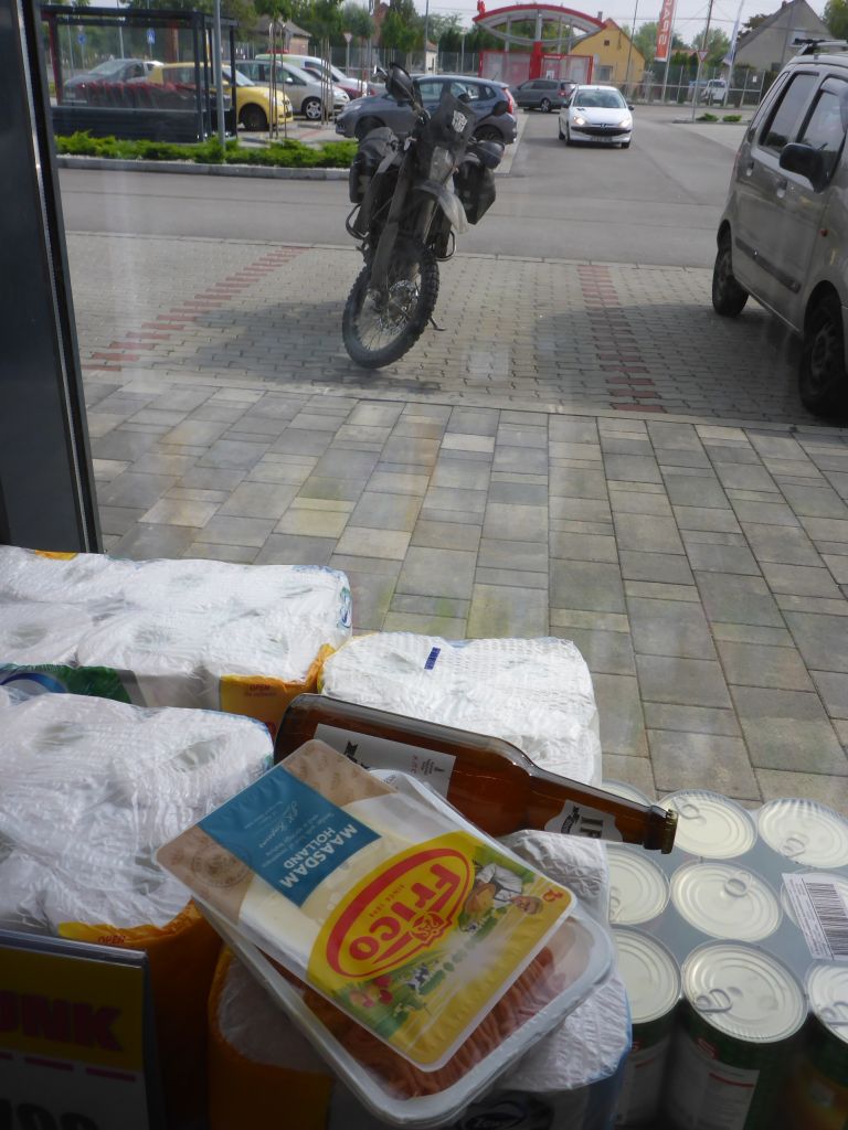
There I bought some additional ingredients (beer, meat and cheese) for this day’s dinner.
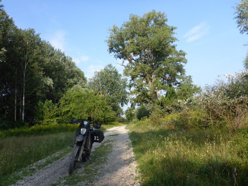
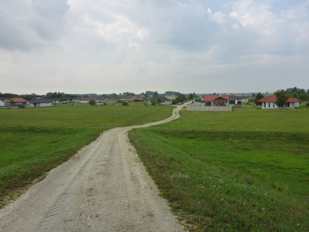
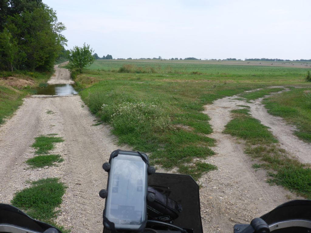
The muddy swampland now changed for …
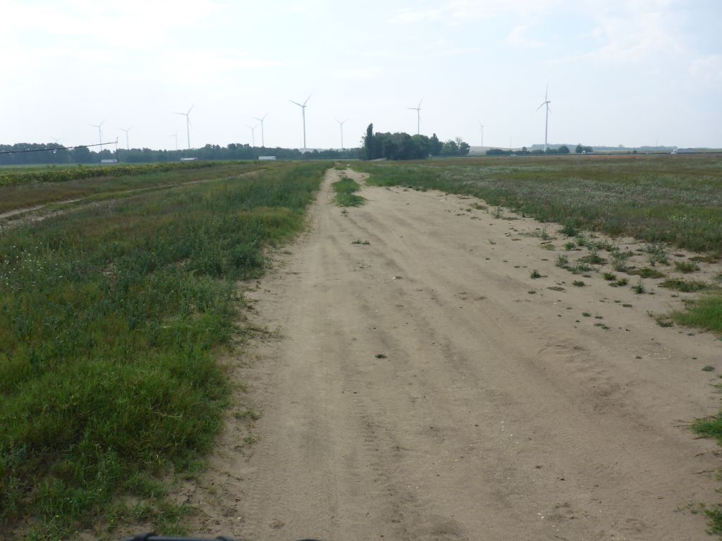
sandy trails, which led along …
the flat lands of Hungary. In the early afternoon …
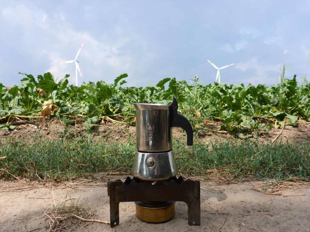
it was time for a coffee. Just at the moment when I was lighting the stove, …
fat raindrops came out of a far distant cloud and drenched my coffee break. Man … *doh!* -_-
Leaving this crazy weather capriole behind …
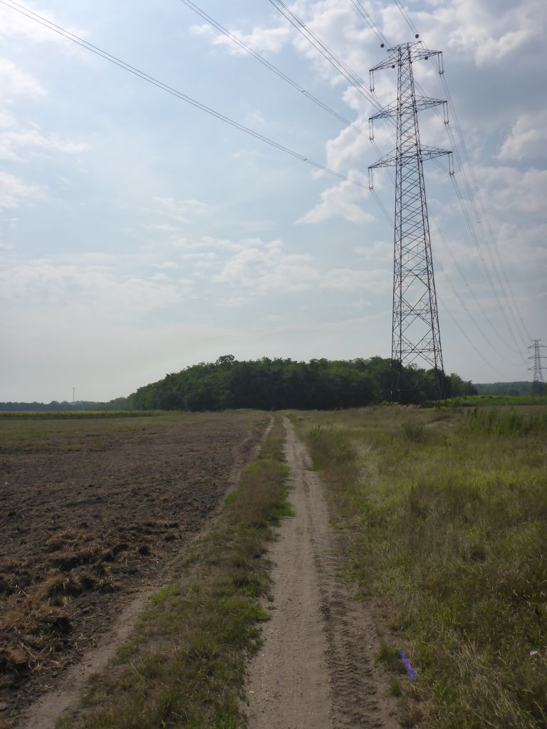
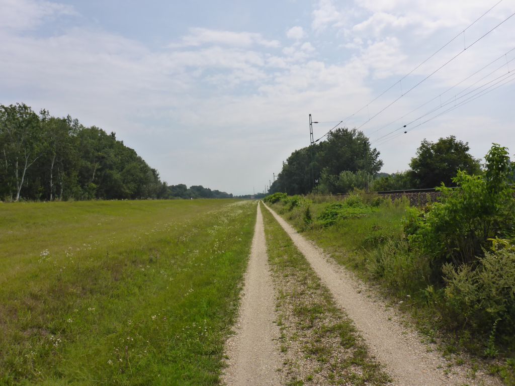
Чернотa and I pushed on estwards …
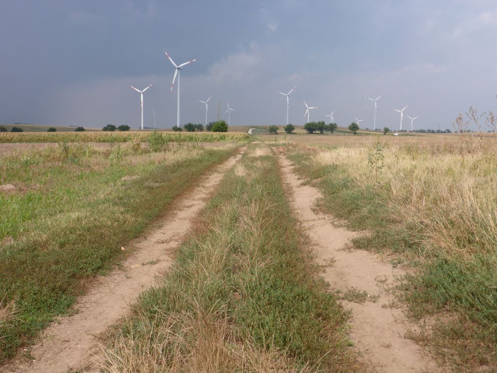
along some power lines, right through the …
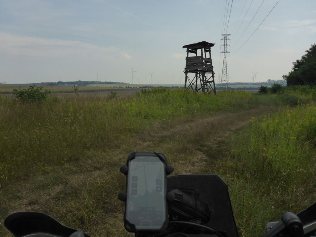
wide open and hilly plains of central-northern Hungary.
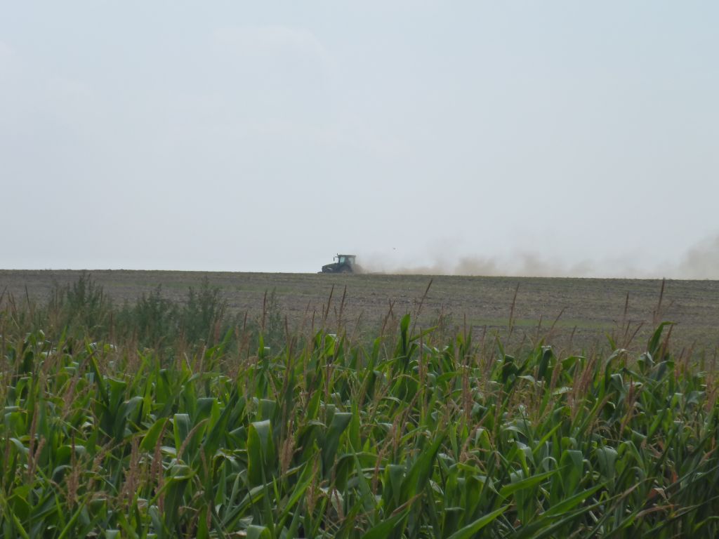
*dustytractor*
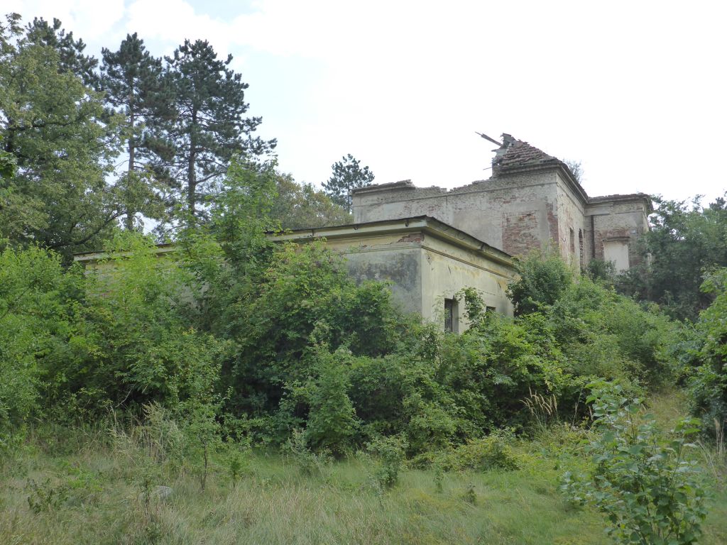
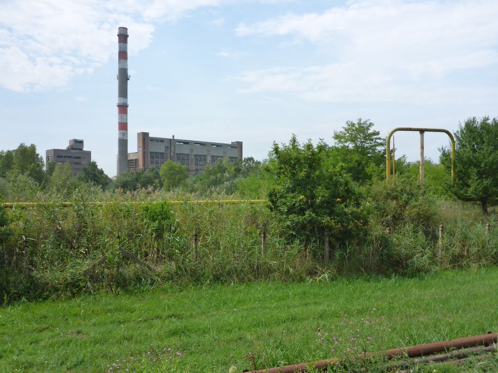
Besides some old …
and very high buildings …
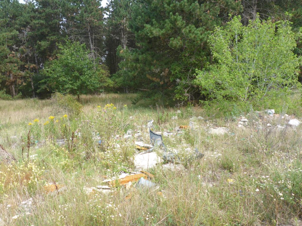
also a big amount of illegal dumped rubbish was seen, whilst we followed the Hungarian TET.
This little creek-crossing nearly let me tumble down: With about 1,5 ft or 50 cm it wasn’t very deep, but there was kind of a 15 cm or 0,5 ft high step under the water surface which I wasn’t aware of.
Чернотa nearly stalled, when we hit that step. Finally, I got it managed to keep my black beauty with some kind of jumping-jack-foot-work in upright position and maneuvered through this unimposing creek crossing. 🙂
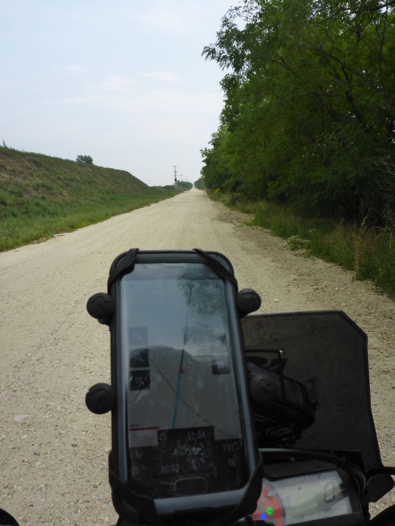
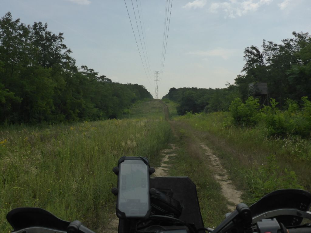
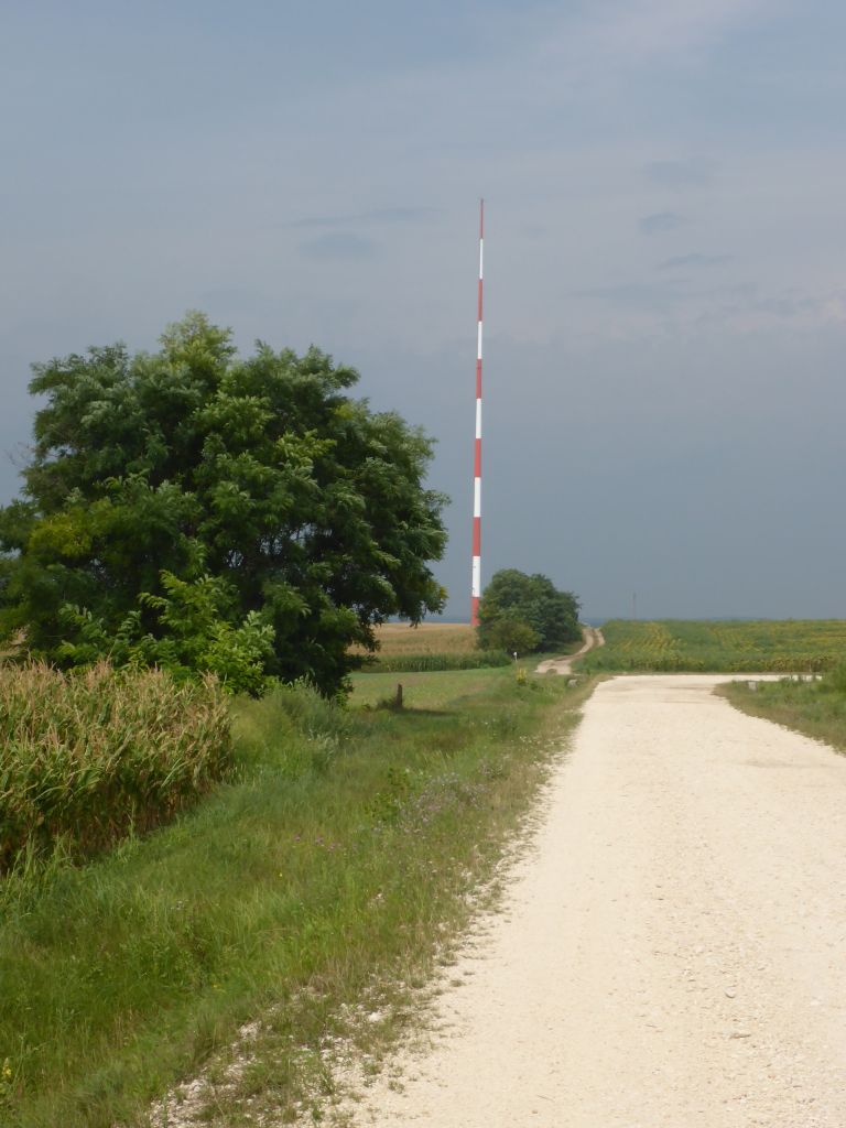
The next hour the trail changed into some kind of …
high-speed-gravel which got disrupted …
with some very muddy corners. After another …
excursion back to the …
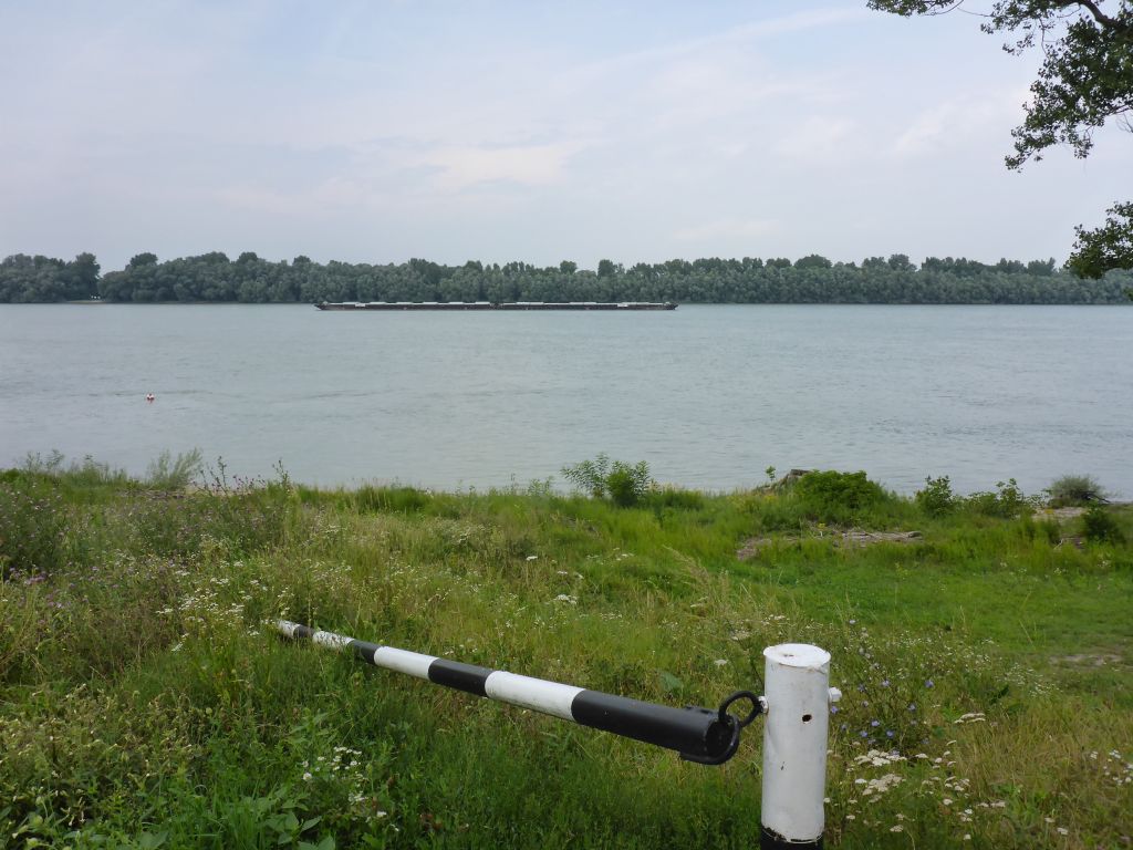
big …
stream, the Trans Euro Trail went on further south-eastwards.
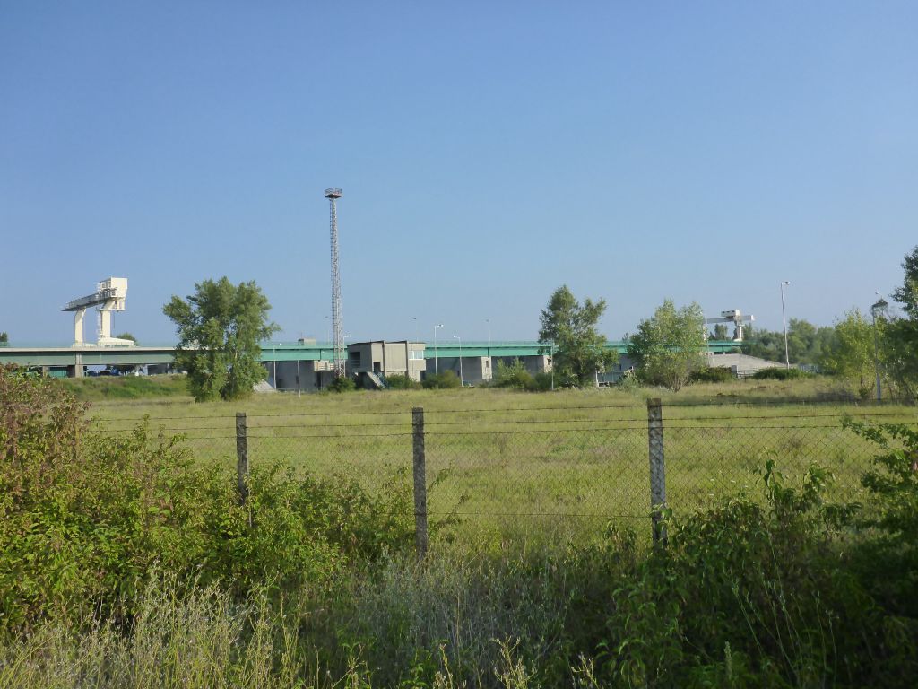
We left this old factory aside …
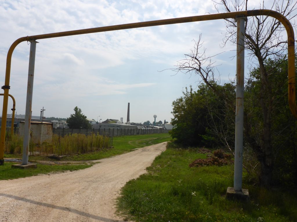
and followed the trail, which now went on into some more …
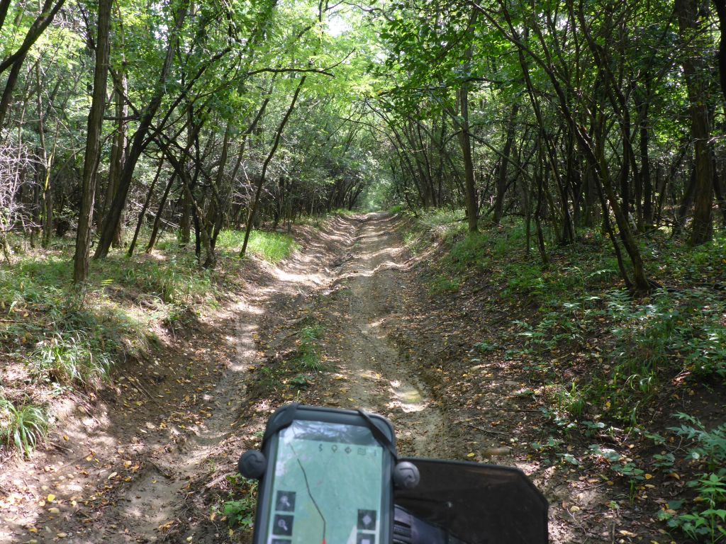
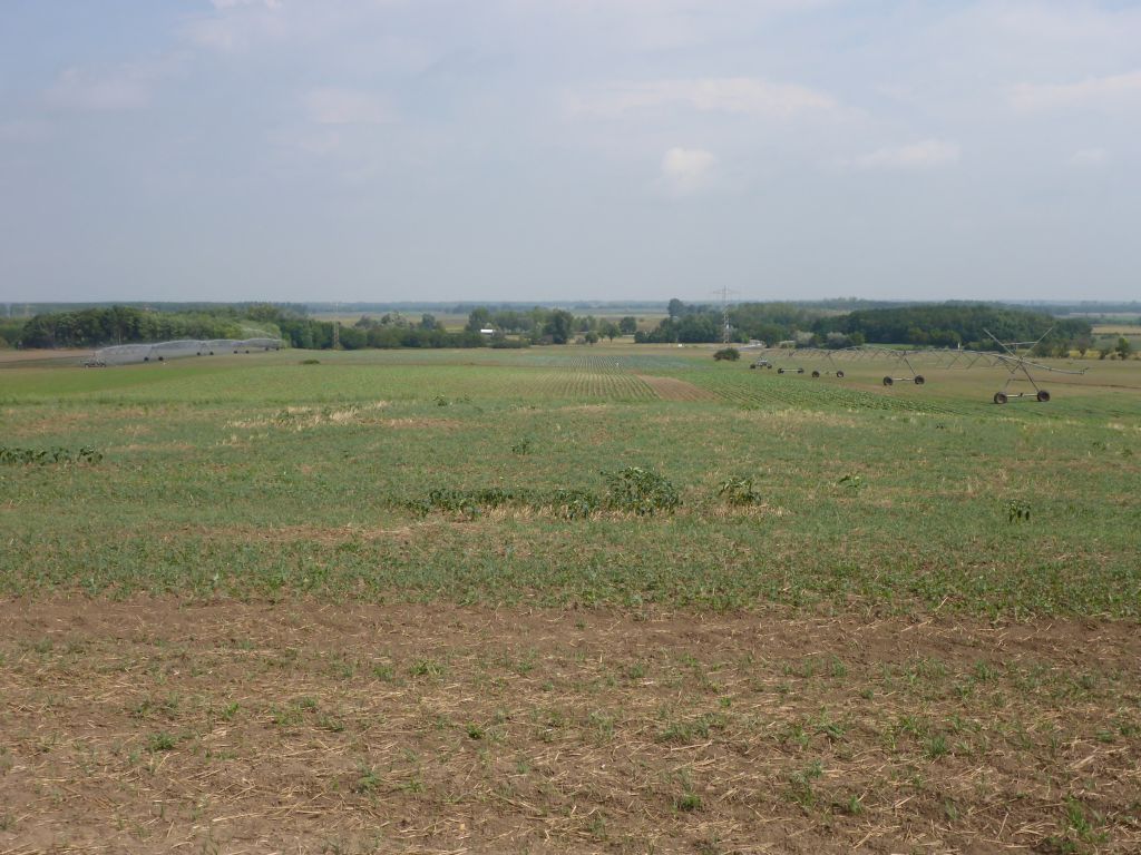
hilly terrain. Towards overcoming this bumpy wood trails at the hills feet …
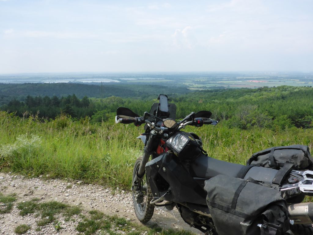
we gained height. When we reached this little hills…
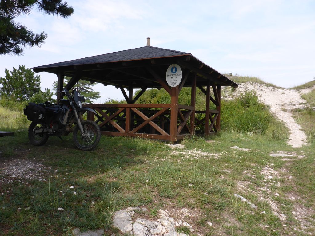
peak, we took the opportunity for having a rest in the shadow of a big needle tree.
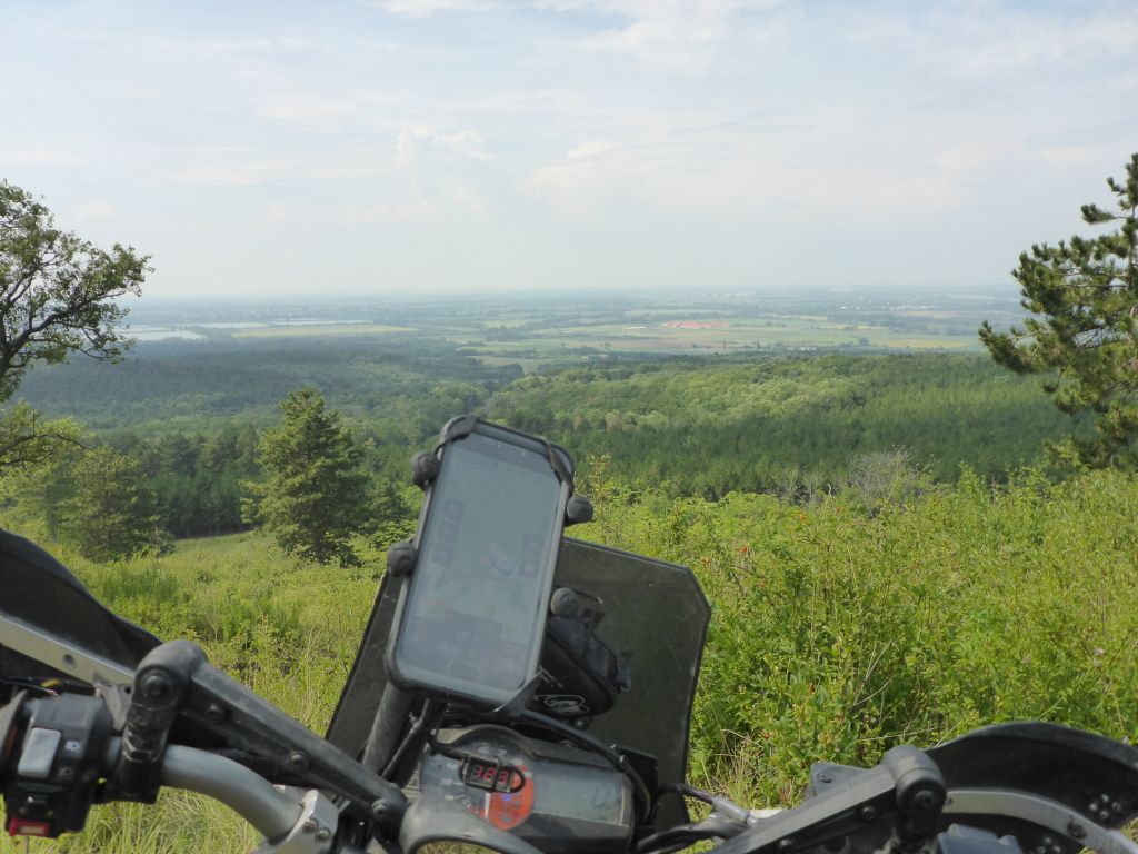
Чернотa and I enjoyed the great view over the route we left behind!
End of Day 1 – Part 1.
Interested in my doings? Than feel free to join my social media channels for further updates! ➡